Elevation of Battlefield Rd, Fort Defiance, VA, USA
Location: United States > Virginia > Augusta County >
Longitude: -78.895577
Latitude: 38.209624
Elevation: 356m / 1168feet
Barometric Pressure: 97KPa
Elevation Map:
Satellite Map:
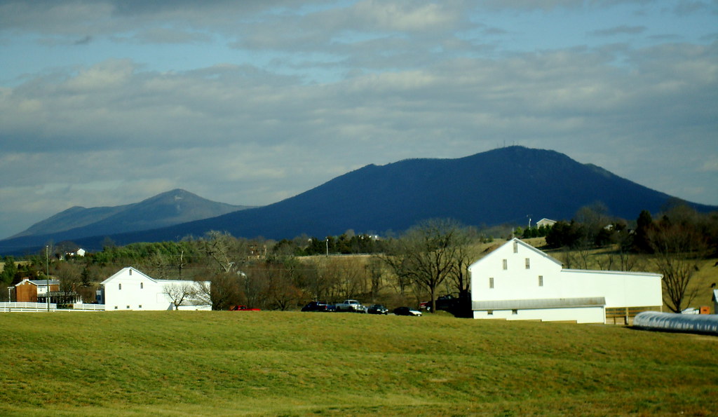
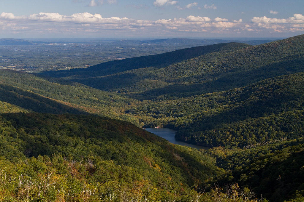
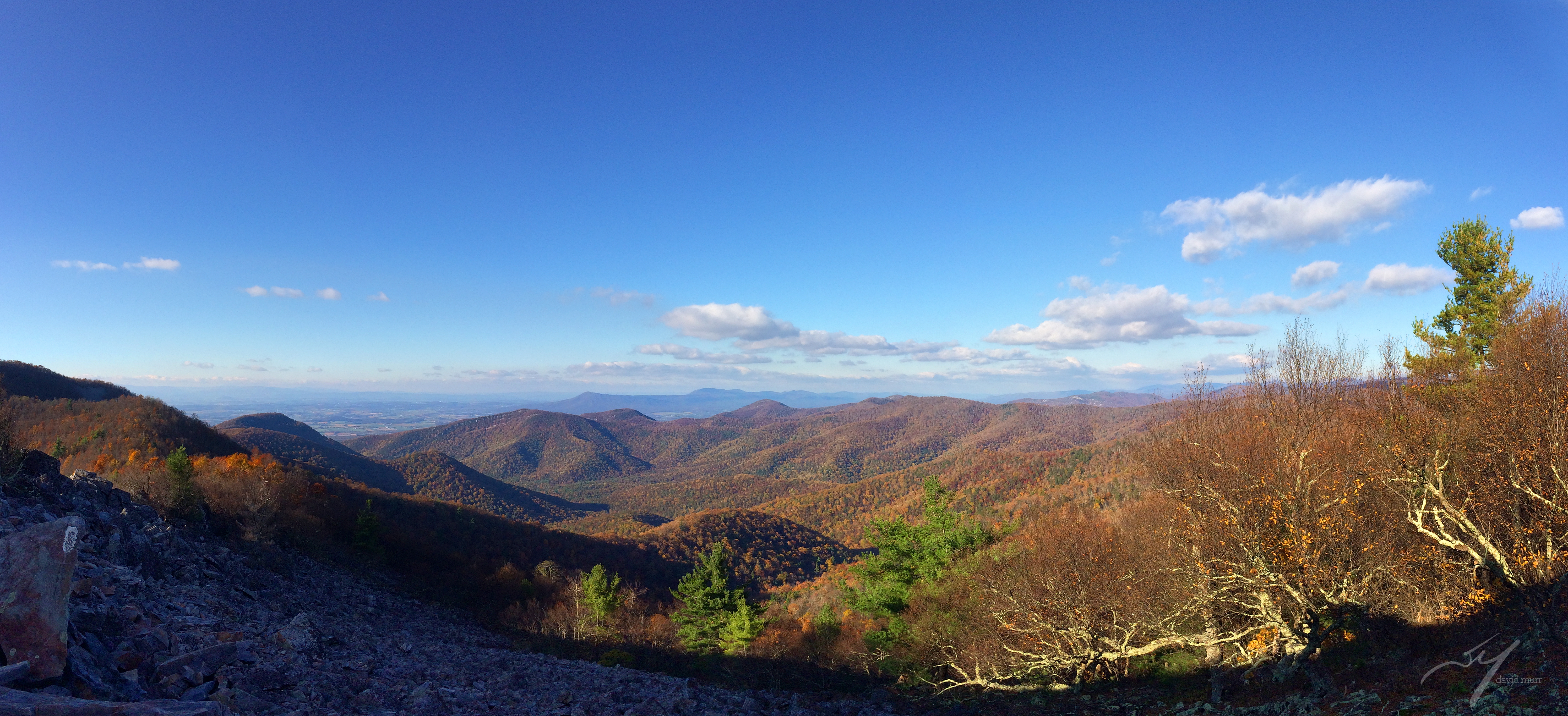
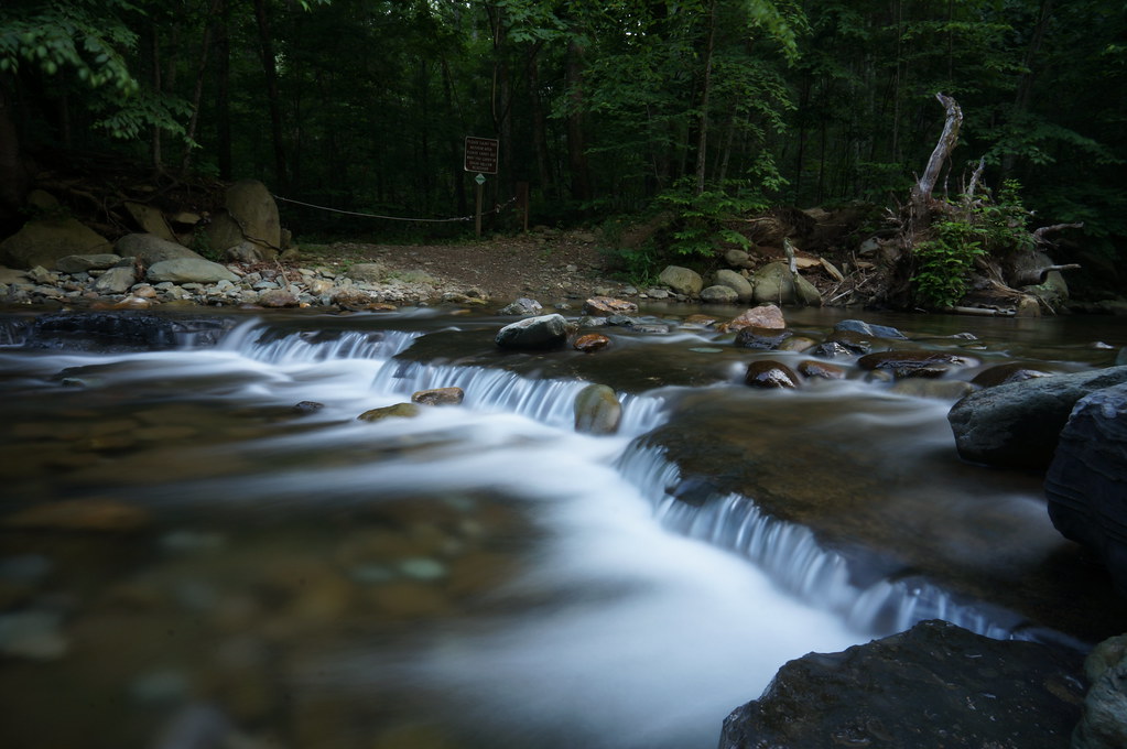
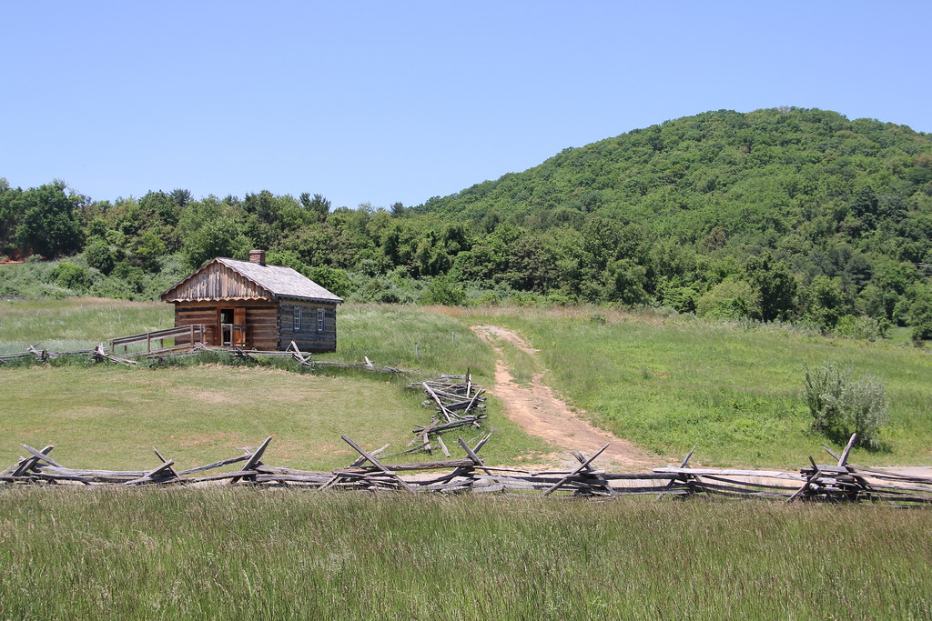
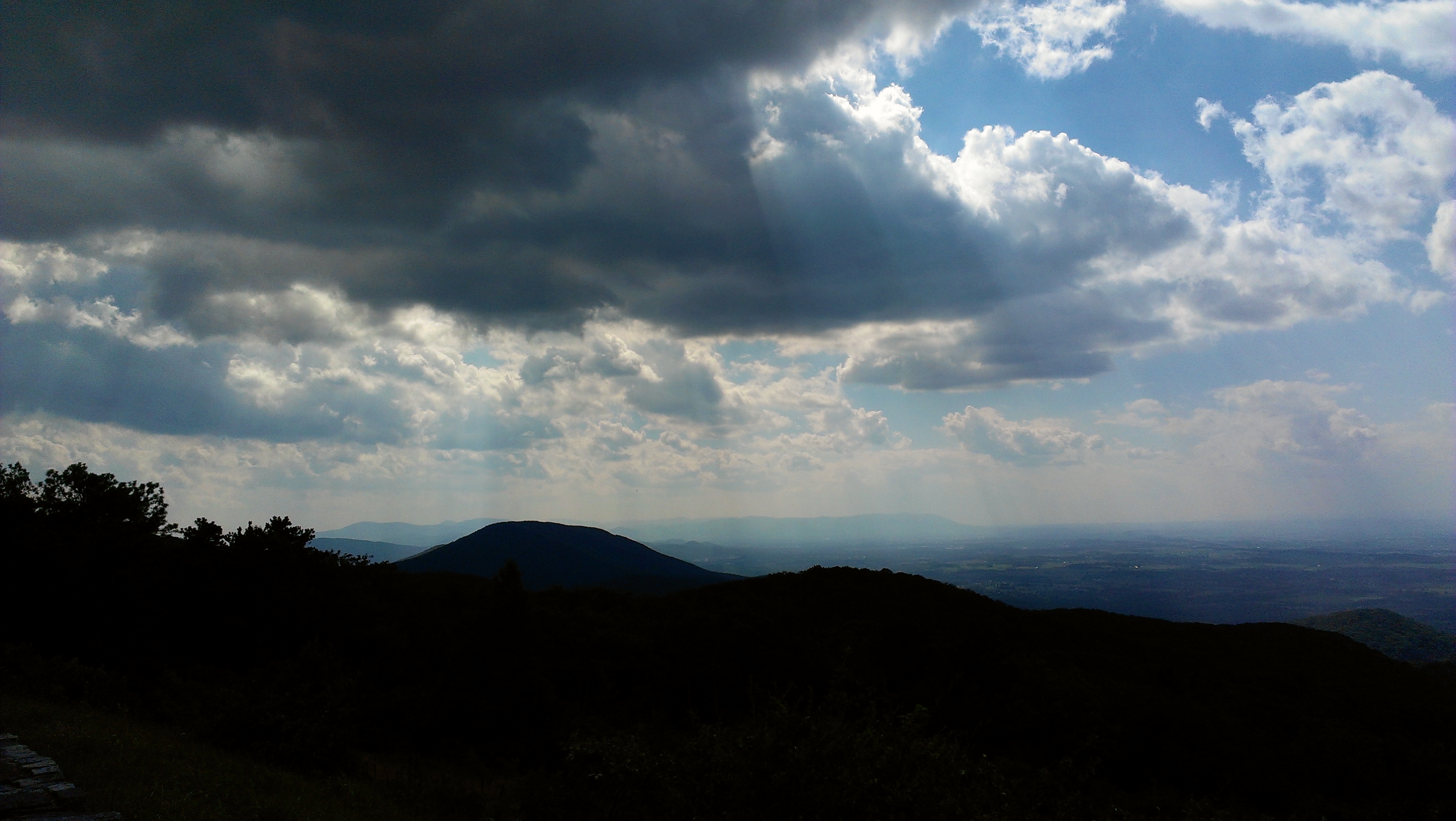
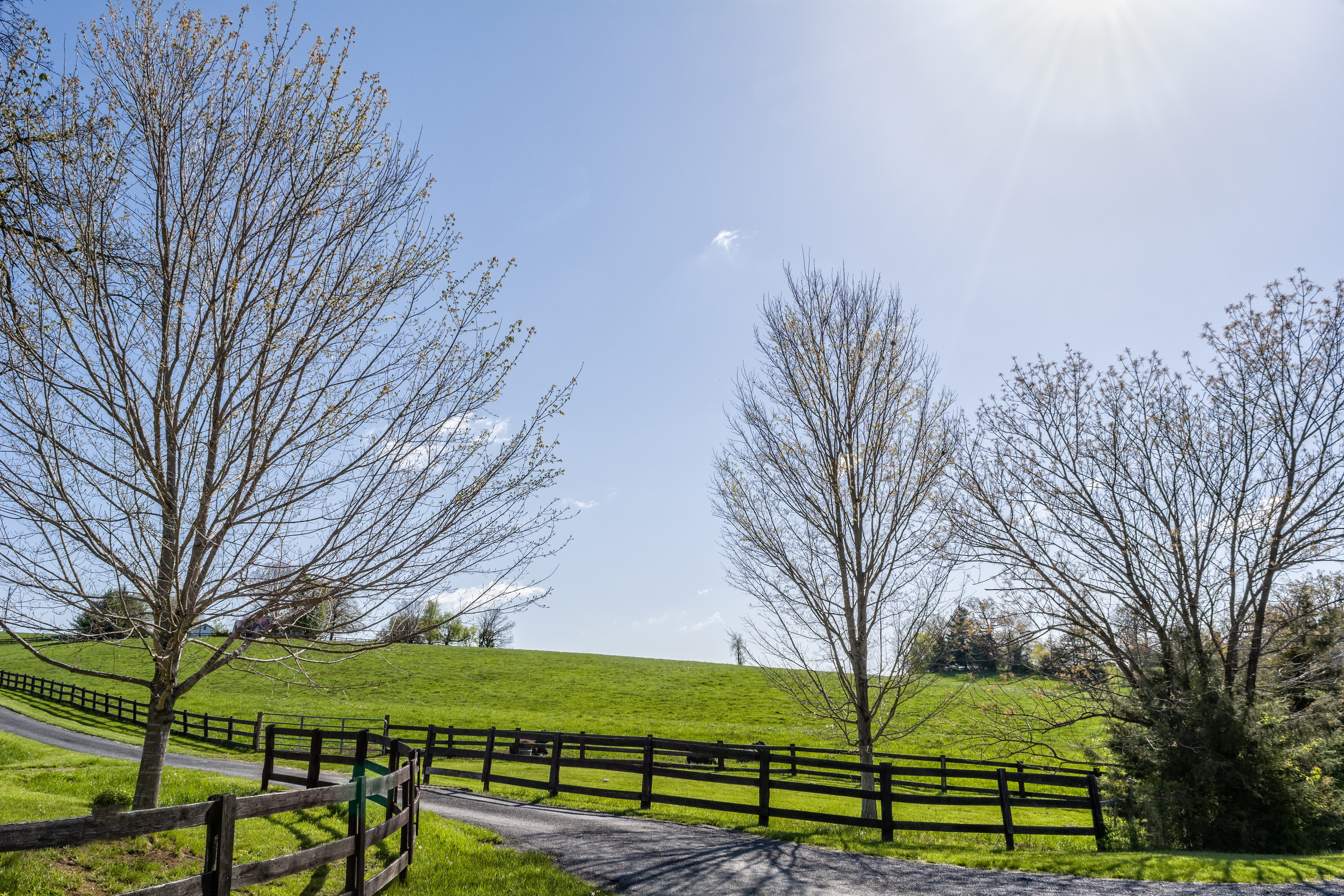
Related Photos:

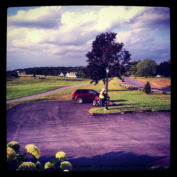
Viewing East from Moormans River Overlook

Viewing West from Sawmill Ridge Overlook

Spicebush Swallowtail

Grace Memorial Church
2007.12.27 Massanutten
Moormans River Overlook - Skyline Drive

Horsehead Overlook

Shoot & Score_04

DICKCISSEL Male Spiza americana Looks Ahead at Sunset. Augusta County, Virginia. Photo by Peter Wendelken
Mountains near and far away
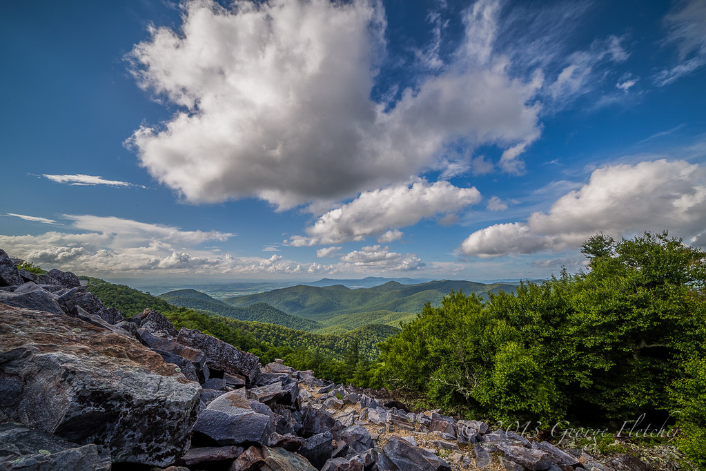
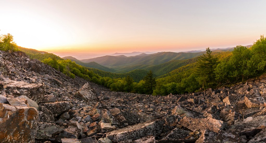
Splendid Autumn View from the AT at Blackrock Summit
View from atop Betsy Bell Hill

Dejarnette Interior
Betsy Bell Hill
Shenandoah Sunset

View from the Blackrock Summit @ Shenandoah National Park

Port Republic, Towards Massanutten

Shenandoah National Park - Dundo Overlook
Coventional Cab Delight

Blackrock View Panorama 5000

Horsehead Overlook - Shenandoah National Park
#bissonetteontheroadagain
Black Rock Summit
The Distance.

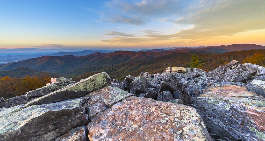
Sunrise at Blackrock Summit

La vue depuis Mountains River overlook

Allegheny Mountain Range
Other than Tennessee cuz I'm biased I gotta say VA is pretty gorgeous. #InstaSize
Sugar Hollow

Layered landscape in the #clouds at #Shenandoah
Frontier Culture Museum - Early American Schoolhouse
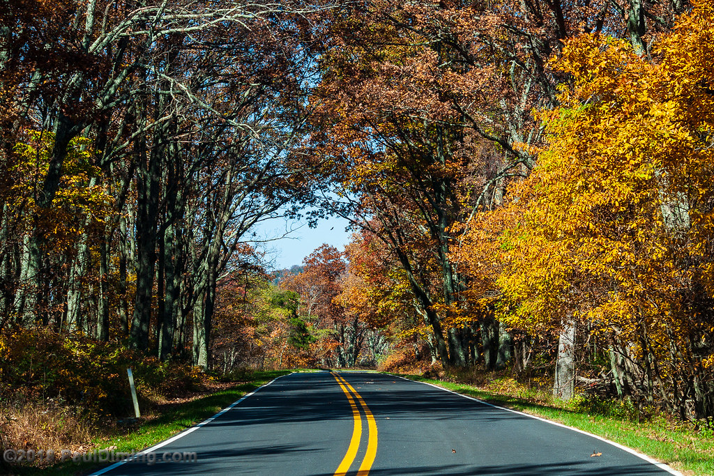
Skyline Drive

Fly Fishing for . . . Duck???
Fenced field 0916.jpg
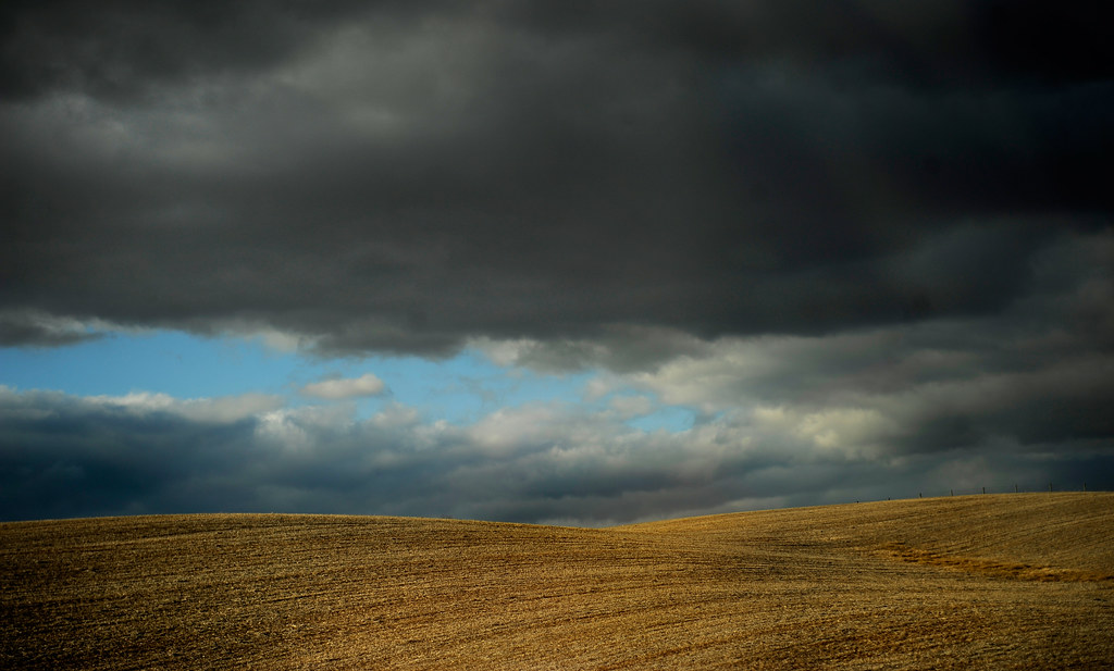
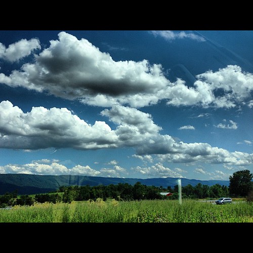
January field

Blue Ridge Mountains

Black Rock Gap - Skyline drive - Virginia
Blackrock Scramble

Skyline drive - Virginia
Mile 91, Skyline Drive, Shenandoah National Park, Grottoes, VA
Topographic Map of Battlefield Rd, Fort Defiance, VA, USA
Find elevation by address:

Places near Battlefield Rd, Fort Defiance, VA, USA:
Battlefield Rd, New Hope, VA, USA
Middle River
1866 Long Meadow Rd
99 Old Laurel Hill Rd, Verona, VA, USA
Crimora
Mount Sidney
Fort Defiance
188 Sidney Gap Hwy
188 Sidney Gap Rd
Grottoes
154 Flint Hill Rd
78 Old Burke Mill Rd, Weyers Cave, VA, USA
Balsley Rd, Staunton, VA, USA
Verona
74 Mt Pisgah Rd
10636 Browns Gap Rd
Stonewall Rd, Weyers Cave, VA, USA
Limestone Rd, Mt Sidney, VA, USA
Port Republic
1244 New Hope Rd
Recent Searches:
- Elevation of Corso Fratelli Cairoli, 35, Macerata MC, Italy
- Elevation of Tallevast Rd, Sarasota, FL, USA
- Elevation of 4th St E, Sonoma, CA, USA
- Elevation of Black Hollow Rd, Pennsdale, PA, USA
- Elevation of Oakland Ave, Williamsport, PA, USA
- Elevation of Pedrógão Grande, Portugal
- Elevation of Klee Dr, Martinsburg, WV, USA
- Elevation of Via Roma, Pieranica CR, Italy
- Elevation of Tavkvetili Mountain, Georgia
- Elevation of Hartfords Bluff Cir, Mt Pleasant, SC, USA