Elevation of Forestdale, Sandwich, MA, USA
Location: United States > Massachusetts > Barnstable County > Sandwich > Sandwich >
Longitude: -70.4994721
Latitude: 41.6917744
Elevation: 46m / 151feet
Barometric Pressure: 0KPa
Related Photos:

Stormy Skies Over the Sandwich Boardwalk"

Autumn daisies

early morning on Eel River

King Eider

Savannah Sparrow (Passerculus sandwichensis princeps) - Ipswich form - dorsal view

Cataumet School House 3
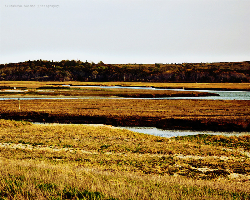
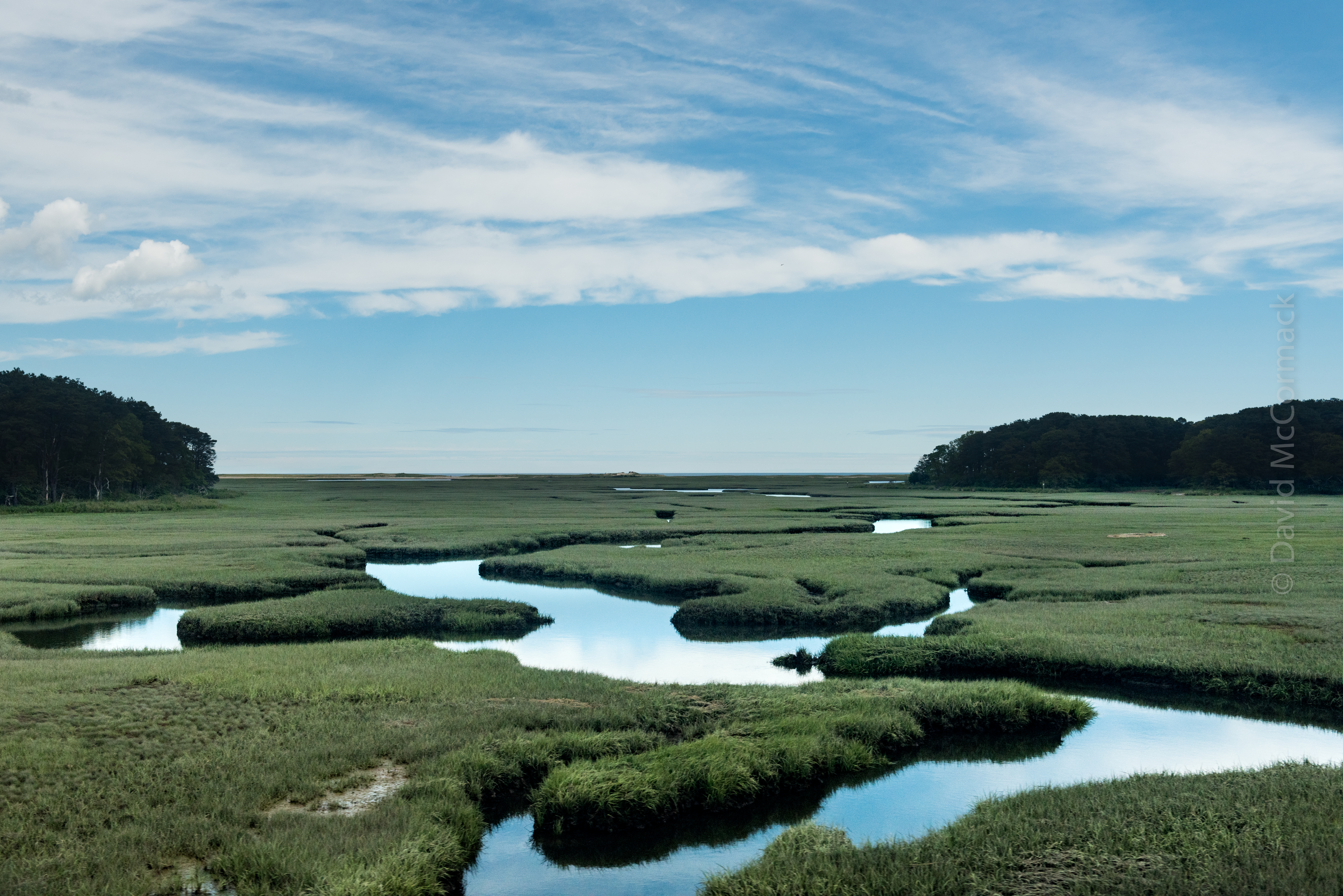
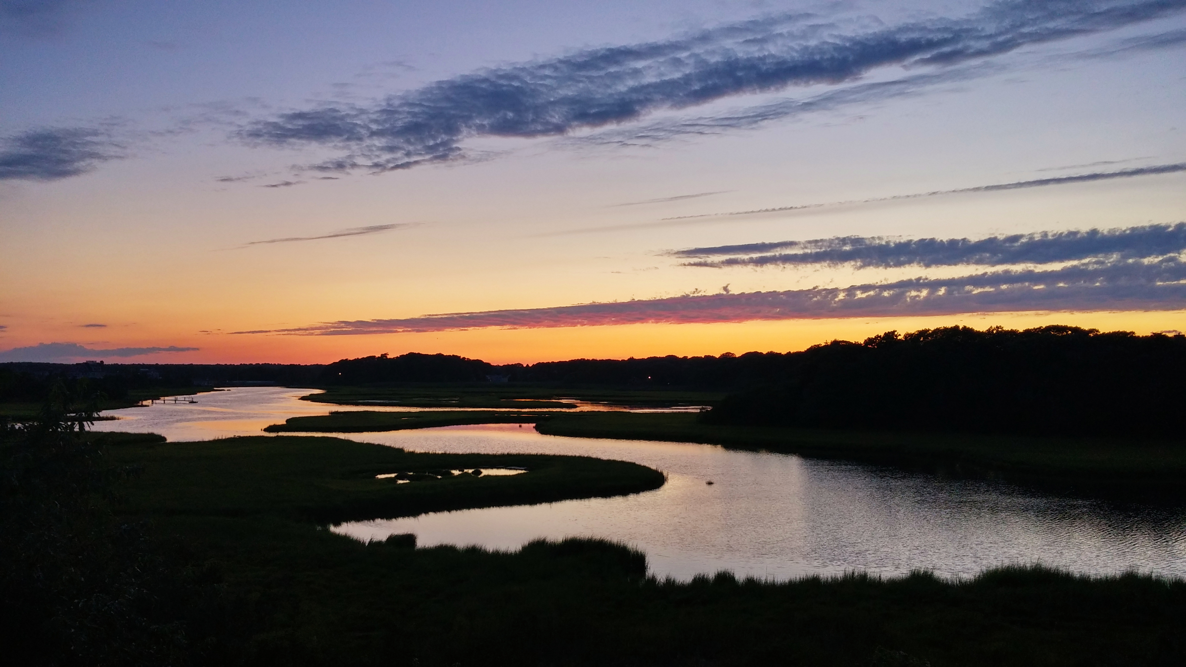
Town Neck Beach Salt Marsh, Cape Cod

View Through

King Eider

King Eider
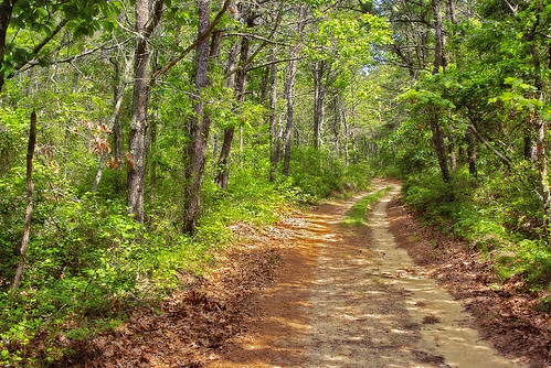
Walk in the woods, Mashpee, Cape Cod

in the harbor. . . .

American Bittern - Mashpee, MA - November 18, 2013
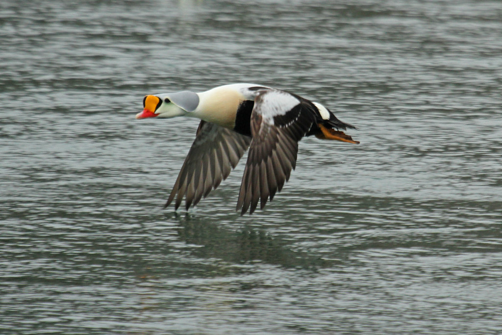
King Eider

U. S. Post Office 1:15 PM

Harbour View

Rusty Blackbird

My view at 6:56 AM. #capecod #centerville
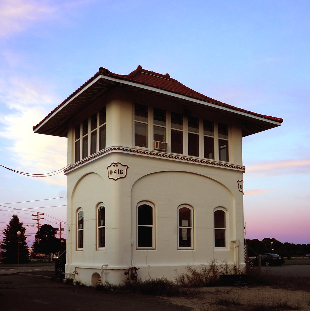
Buzzards Bay railroad control tower
Shawme Pond
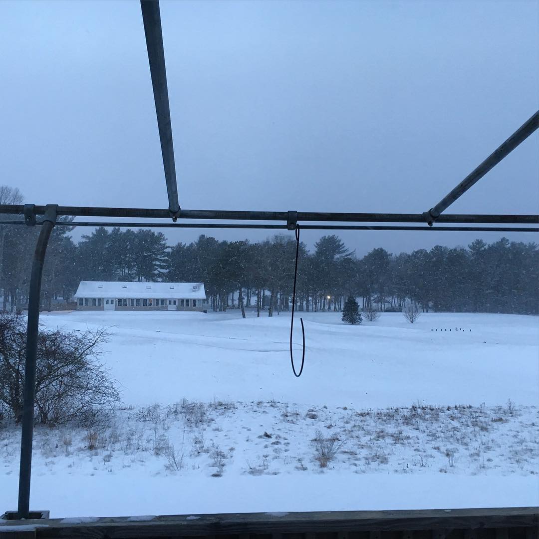
Just slightly different than the view I've posted before! #nogolfersinthesnow

2013-01-03 14.48.20
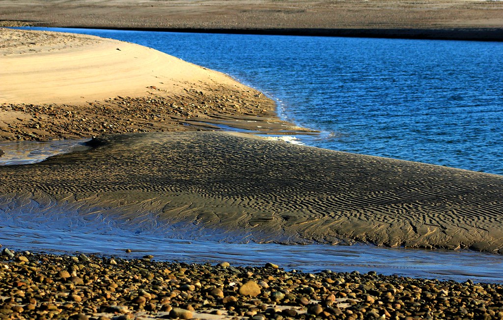
Sandbar Town Neck Beach Cape Cod MA

Scusset Beach Sunset
Cape Cod
2013-01-02 14.59.21

Sunset at Scusset Beach

Stormy Sunset

Walk to the Beach
Barnstable Harbor

December Evening

Sunset in Pocasset

Cranberry Bog on a June Evening

Sunset Under the Storm

Red Light

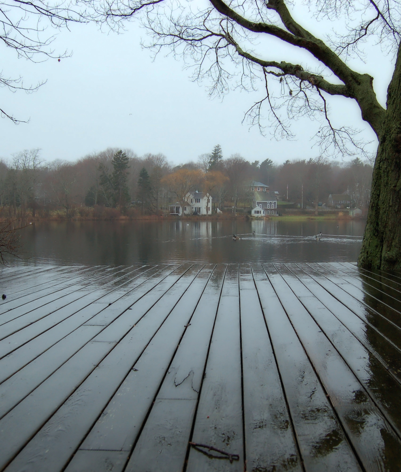
Boardwalk and Marsh
DSC_0165.jpg

#capecod

Golden Sunset
2013-01-02 14.54.31
2015-08-05 07.12.24 1

Storm over the Water
Topographic Map of Forestdale, Sandwich, MA, USA
Find elevation by address:

Places in Forestdale, Sandwich, MA, USA:
10 Emerald Way
4 Vineyard Cir
3 Windsong Rd
28 Pickerel Way
49 Artisan Way
22 Jody Ln
35 Ma-130
20 Jody Ln
Places near Forestdale, Sandwich, MA, USA:
3 Windsong Rd
5 Preakness Ln
49 Artisan Way
35 Ma-130
4 Vineyard Cir
71 Quaker Meeting House Rd
129 Pimlico Pond Rd
238 Cotuit Rd
28 Pickerel Way
Deerfield Road
Barnstable Town
4 Deep Wood Dr
10 Emerald Way
Compass Athletics
163 Quaker Meeting House Rd
8 Oxford Rd
8 Oxford Rd
20 Jody Ln
22 Jody Ln
7 Bourne Hay Rd
Recent Searches:
- Elevation map of Greenland, Greenland
- Elevation of Sullivan Hill, New York, New York, 10002, USA
- Elevation of Morehead Road, Withrow Downs, Charlotte, Mecklenburg County, North Carolina, 28262, USA
- Elevation of 2800, Morehead Road, Withrow Downs, Charlotte, Mecklenburg County, North Carolina, 28262, USA
- Elevation of Yangbi Yi Autonomous County, Yunnan, China
- Elevation of Pingpo, Yangbi Yi Autonomous County, Yunnan, China
- Elevation of Mount Malong, Pingpo, Yangbi Yi Autonomous County, Yunnan, China
- Elevation map of Yongping County, Yunnan, China
- Elevation of North 8th Street, Palatka, Putnam County, Florida, 32177, USA
- Elevation of 107, Big Apple Road, East Palatka, Putnam County, Florida, 32131, USA
- Elevation of Jiezi, Chongzhou City, Sichuan, China
- Elevation of Chongzhou City, Sichuan, China
- Elevation of Huaiyuan, Chongzhou City, Sichuan, China
- Elevation of Qingxia, Chengdu, Sichuan, China
- Elevation of Corso Fratelli Cairoli, 35, Macerata MC, Italy
- Elevation of Tallevast Rd, Sarasota, FL, USA
- Elevation of 4th St E, Sonoma, CA, USA
- Elevation of Black Hollow Rd, Pennsdale, PA, USA
- Elevation of Oakland Ave, Williamsport, PA, USA
- Elevation of Pedrógão Grande, Portugal