Elevation of 4 Deep Wood Dr, Forestdale, MA, USA
Longitude: -70.522079
Latitude: 41.674427
Elevation: 41m / 135feet
Barometric Pressure: 101KPa
Elevation Map:
Satellite Map:
Related Photos:
Buttermilk Bay

Classic Cape

Cape Cod Canal, Bourne, Massachusetts

Canal Crossing

Picture Perfect Pocasset Pause

Beneath The Castle - Take 1
Bulldog On The Bridge

Canal Junction

Beneath The Castle - Take 2
Canalside Freight

Tall Bridge

Casting About On The Cape

Exploring at Barlow’s Landing
Evening At Monks Cove
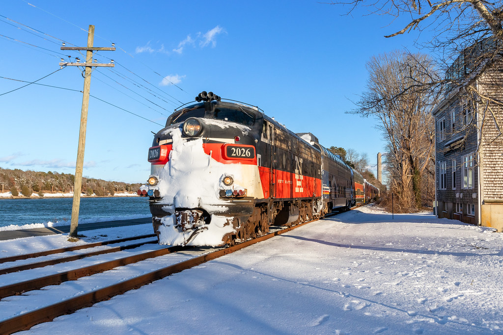
Valentine FL9

You Could Be Forgiven....

Dinner Along The Canal

Cloudy Cohasset

Reflecting On A Summer Night

Danger - FL9!

Monk's Cove Sunset

Walk to the Beach
Sandy Neck

i can see for miles. . . . .

Sunrise from the Jetty at New Silver Beach, Falmouth MA

Sunset; Shoestring Bay, Cotuit, Cape Cod, MA, USA

.. and some are not subtle

Cloudy Day at the Beach

sandy neck

To the Beach

Big Wave Day at the Beach

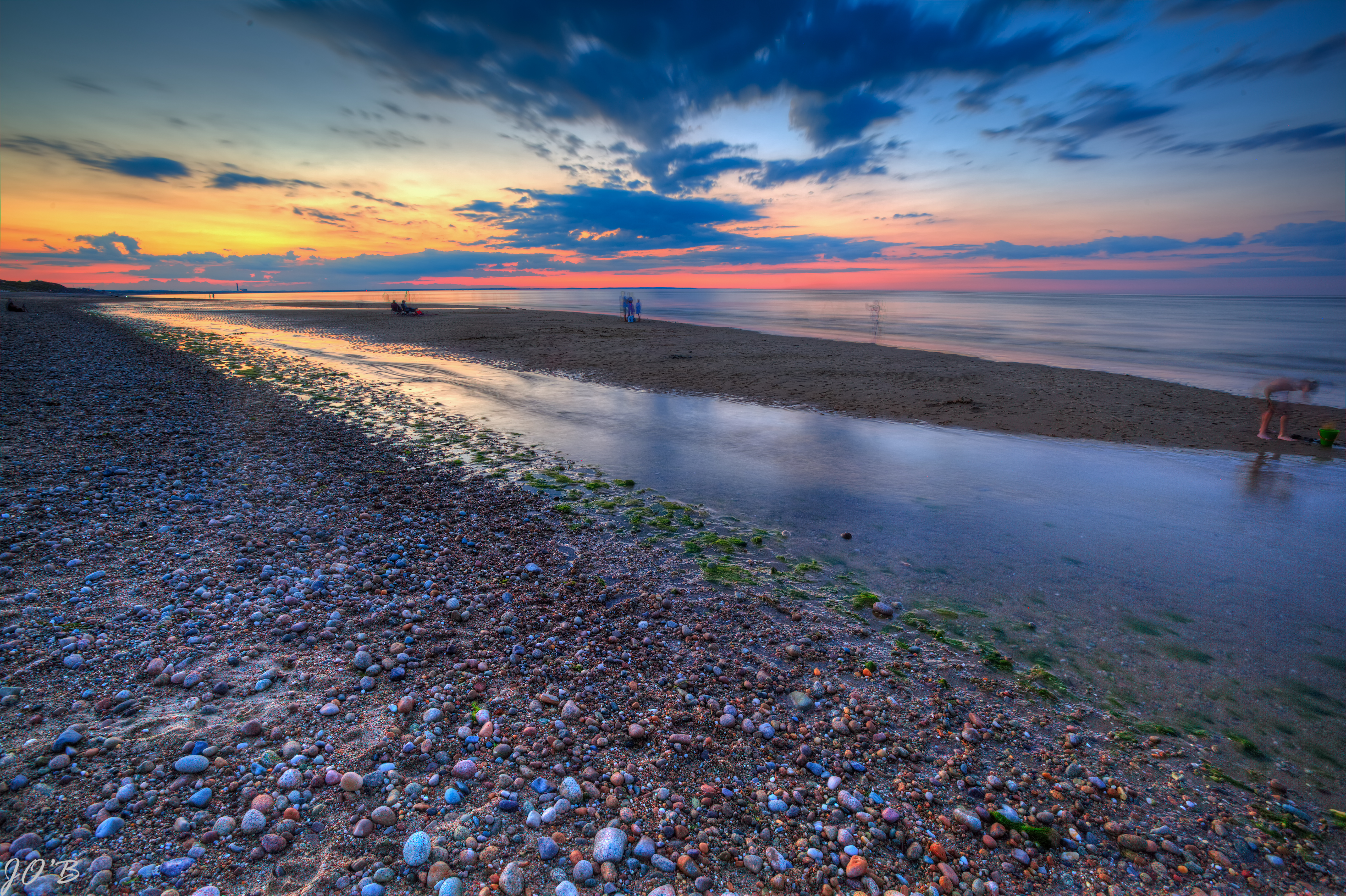
Scusset Beach Sunset

Sandyneck Morning

The sun is a-boat to rise

Wequaquet Lake at Cape Cod
Onset, MA

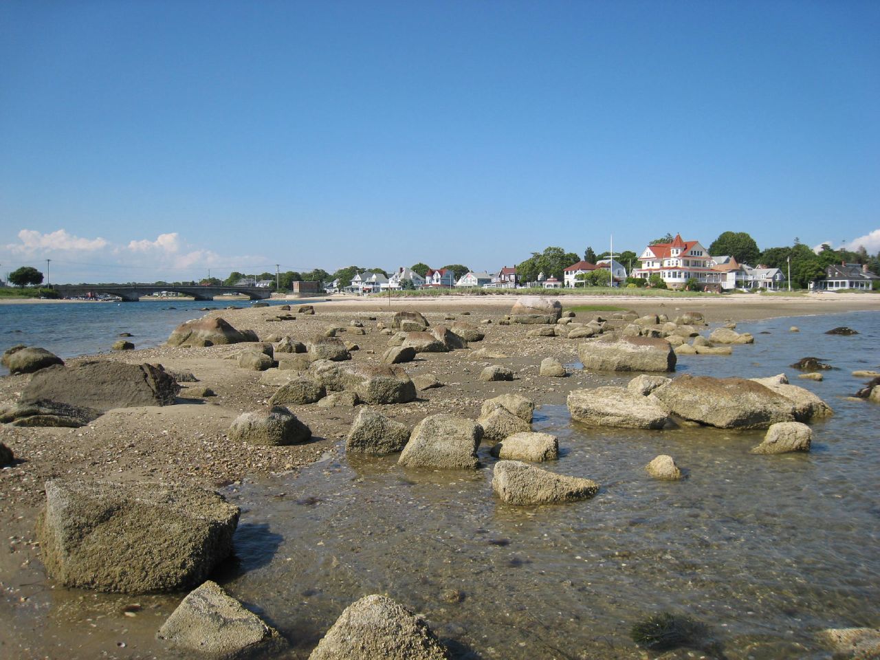
Fiddler's Cove
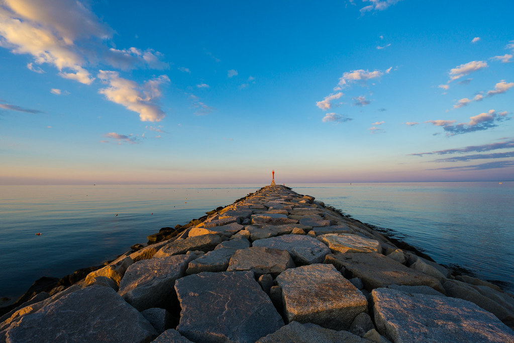
Scusset Beach Jetty

Kingman yacht center

Sunset from Scusset Beach Jetty

Grasshopper Sparrow

Red X
Topographic Map of 4 Deep Wood Dr, Forestdale, MA, USA
Find elevation by address:

Places near 4 Deep Wood Dr, Forestdale, MA, USA:
10 Emerald Way
20 Jody Ln
22 Jody Ln
4 Vineyard Cir
35 Ma-130
49 Artisan Way
3 Windsong Rd
28 Pickerel Way
Forestdale
5 Preakness Ln
129 Pimlico Pond Rd
Deerfield Road
Barnstable Town
71 Quaker Meeting House Rd
238 Cotuit Rd
Connery Avenue
Pine Hill
7 Bourne Hay Rd
Compass Athletics
163 Quaker Meeting House Rd
Recent Searches:
- Elevation of Corso Fratelli Cairoli, 35, Macerata MC, Italy
- Elevation of Tallevast Rd, Sarasota, FL, USA
- Elevation of 4th St E, Sonoma, CA, USA
- Elevation of Black Hollow Rd, Pennsdale, PA, USA
- Elevation of Oakland Ave, Williamsport, PA, USA
- Elevation of Pedrógão Grande, Portugal
- Elevation of Klee Dr, Martinsburg, WV, USA
- Elevation of Via Roma, Pieranica CR, Italy
- Elevation of Tavkvetili Mountain, Georgia
- Elevation of Hartfords Bluff Cir, Mt Pleasant, SC, USA