Elevation of Forest Township, IN, USA
Location: United States > Indiana > Clinton County >
Longitude: -86.307246
Latitude: 40.3622958
Elevation: 269m / 883feet
Barometric Pressure: 98KPa
Elevation Map:
Satellite Map:
Related Photos:

A VW Life
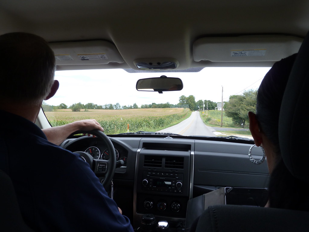
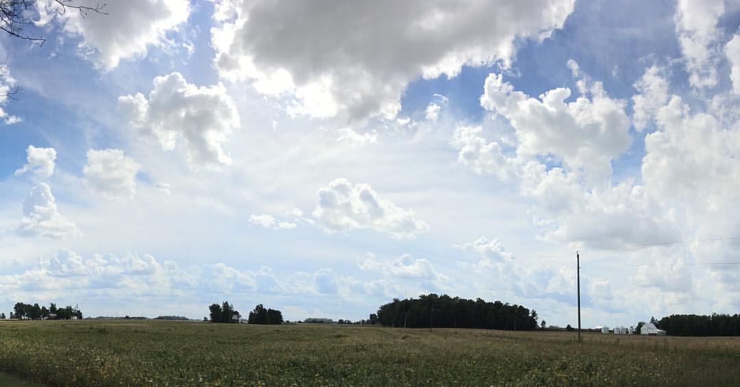
My Indiana View

Side View | September 23rd...
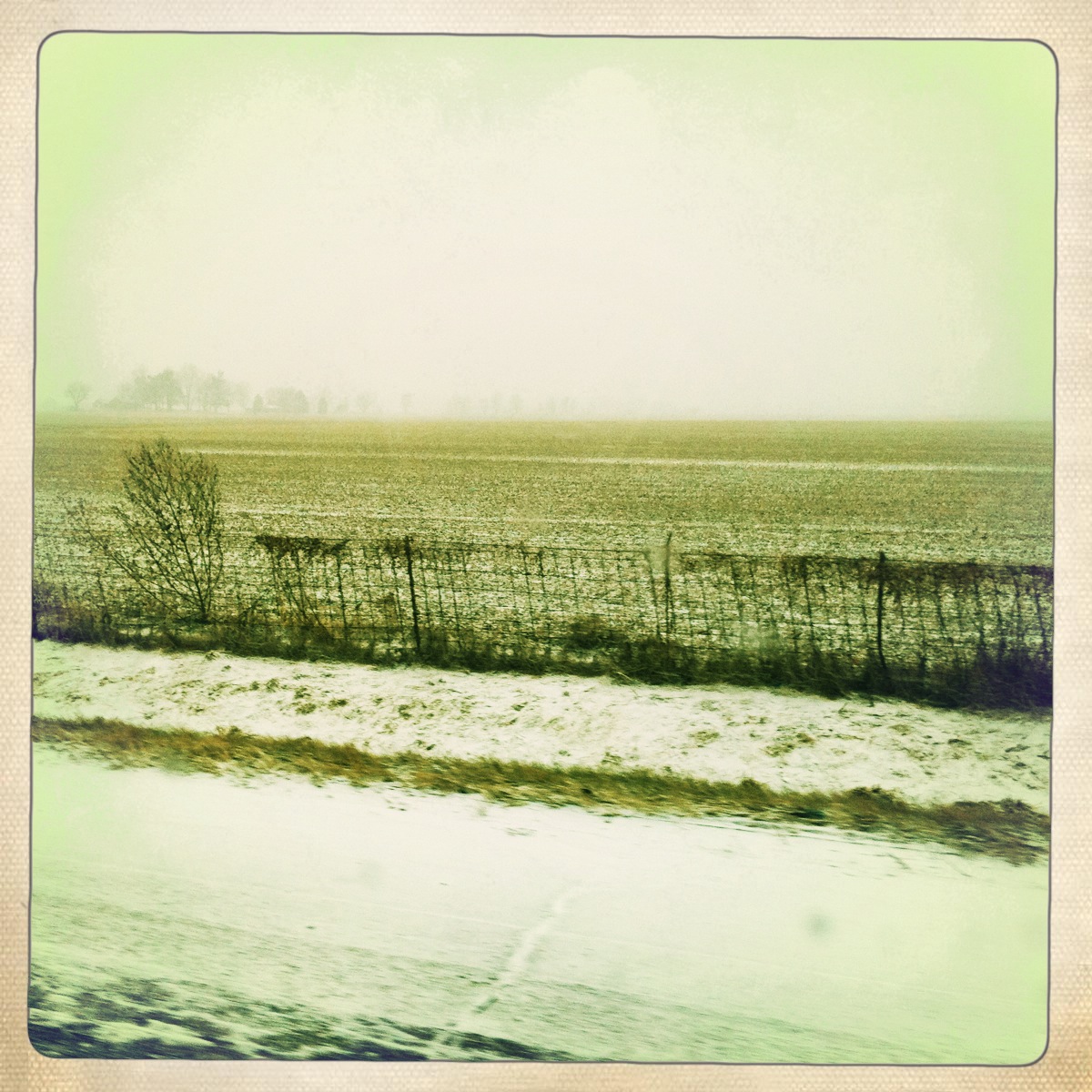
Plain Plain
wildcat river way

Sunset in pink and purple
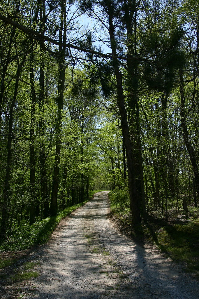
wooded roadway

at Glenndale Airport
Such a beautiful day!

Lacey's Girls A-B-C (in that order)

Lacey's Girls A-B-C (in that order)

Lacey's boys 1-2-3 (in that order)

Lacey's boys 1-2-3 (in that order)

Lacey's boys 1-2-3 (in that order)

Lacey's boys 1-2-3 (in that order)

Lacey's boys 1-2-3 (in that order)

Lacey's boys 1-2-3 (in that order)
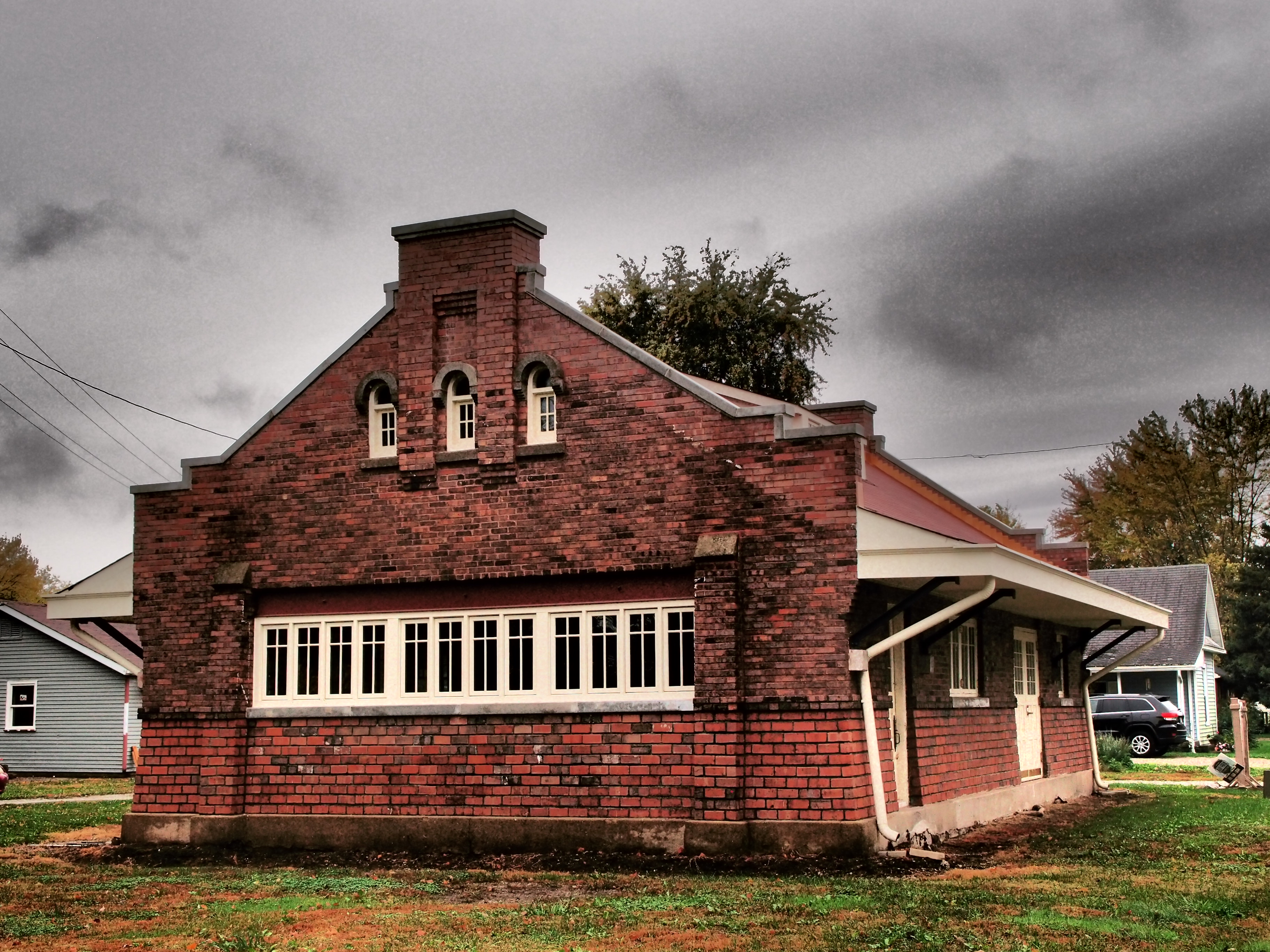
Russiaville Interurban Station

Came out of the woods, entered other woods and found we went back in time. #indianahistory

All Photos-6651
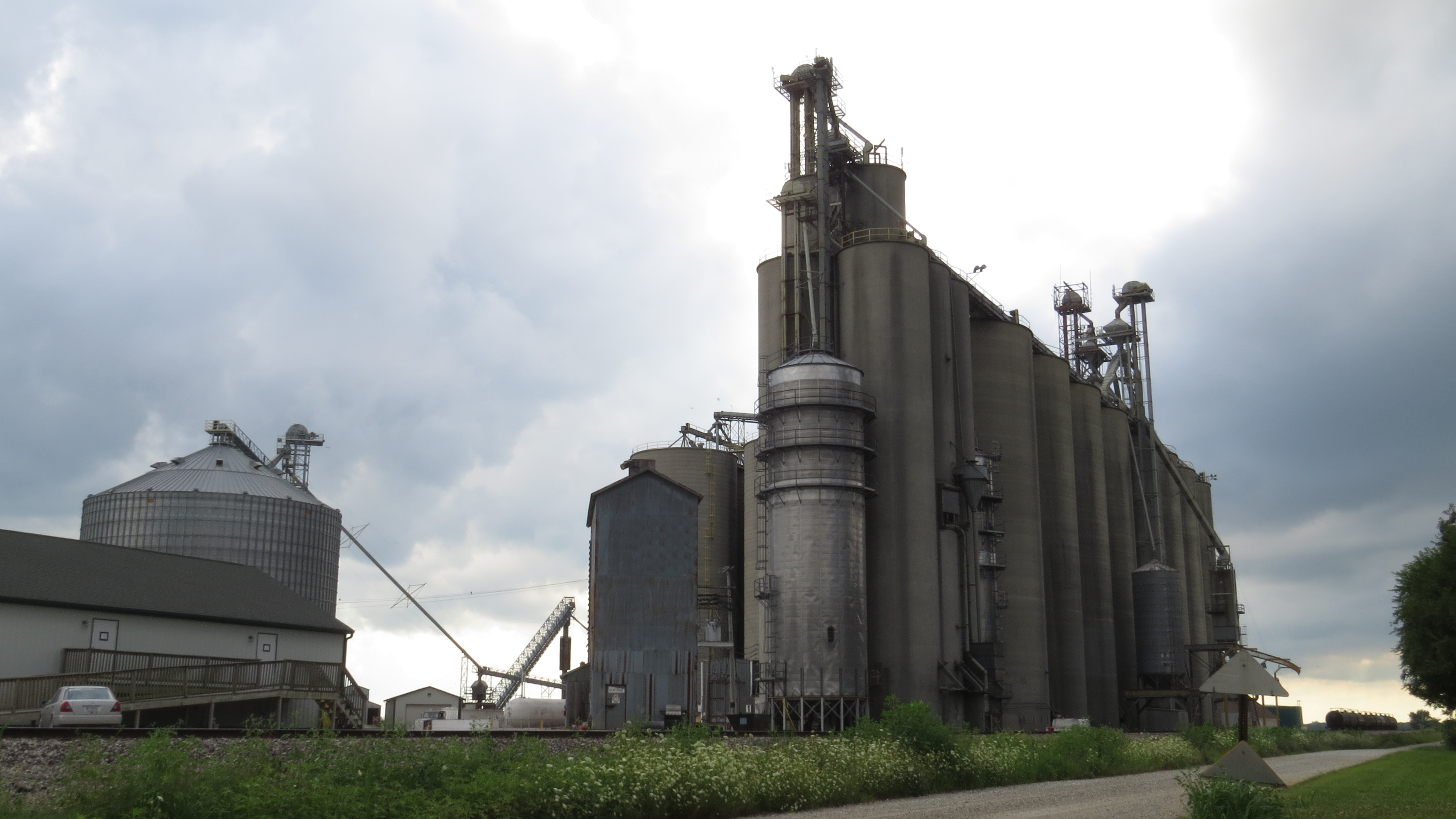
Scircleville Grain Elevator
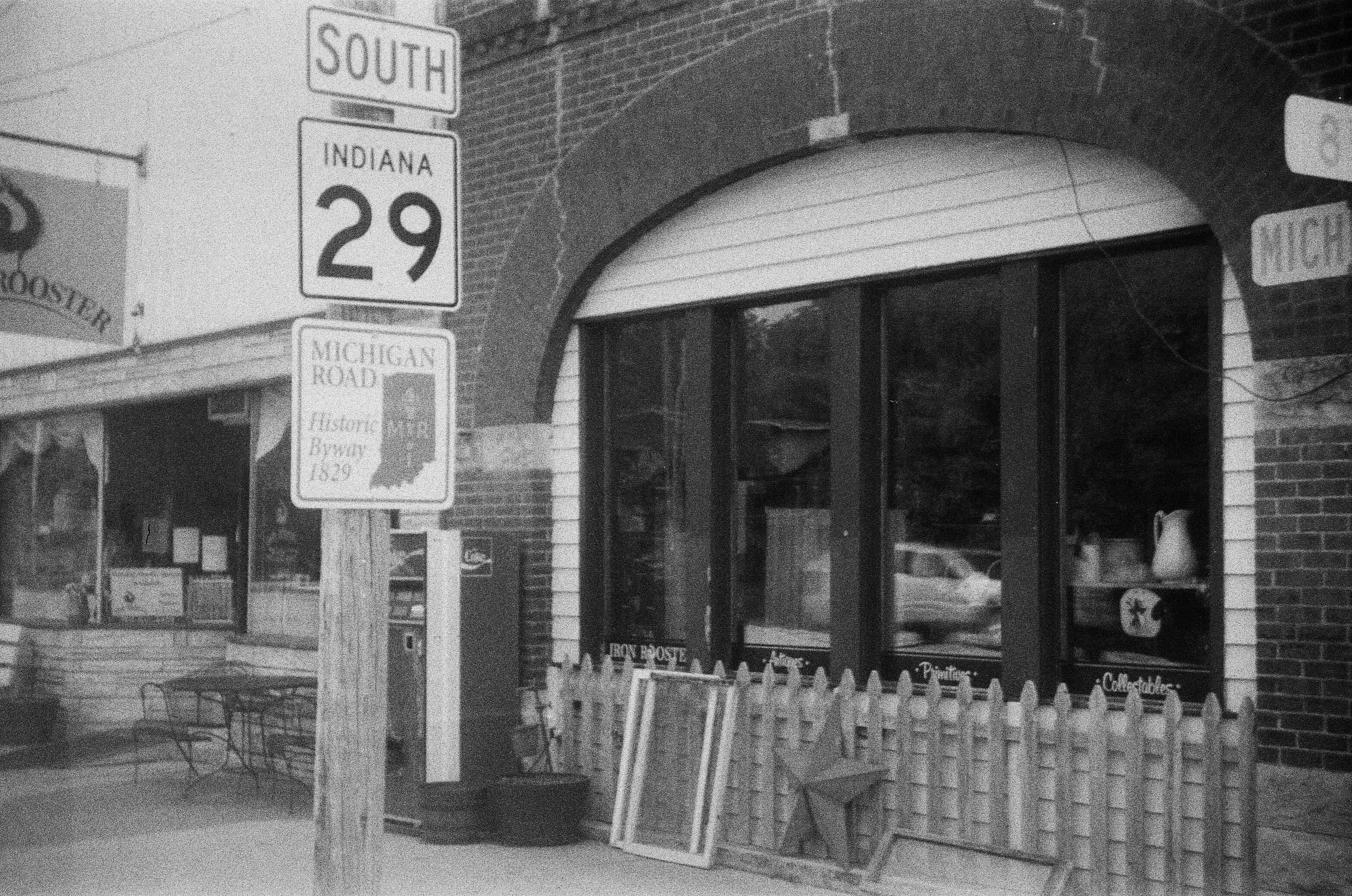
On the Michigan Road in Burlington
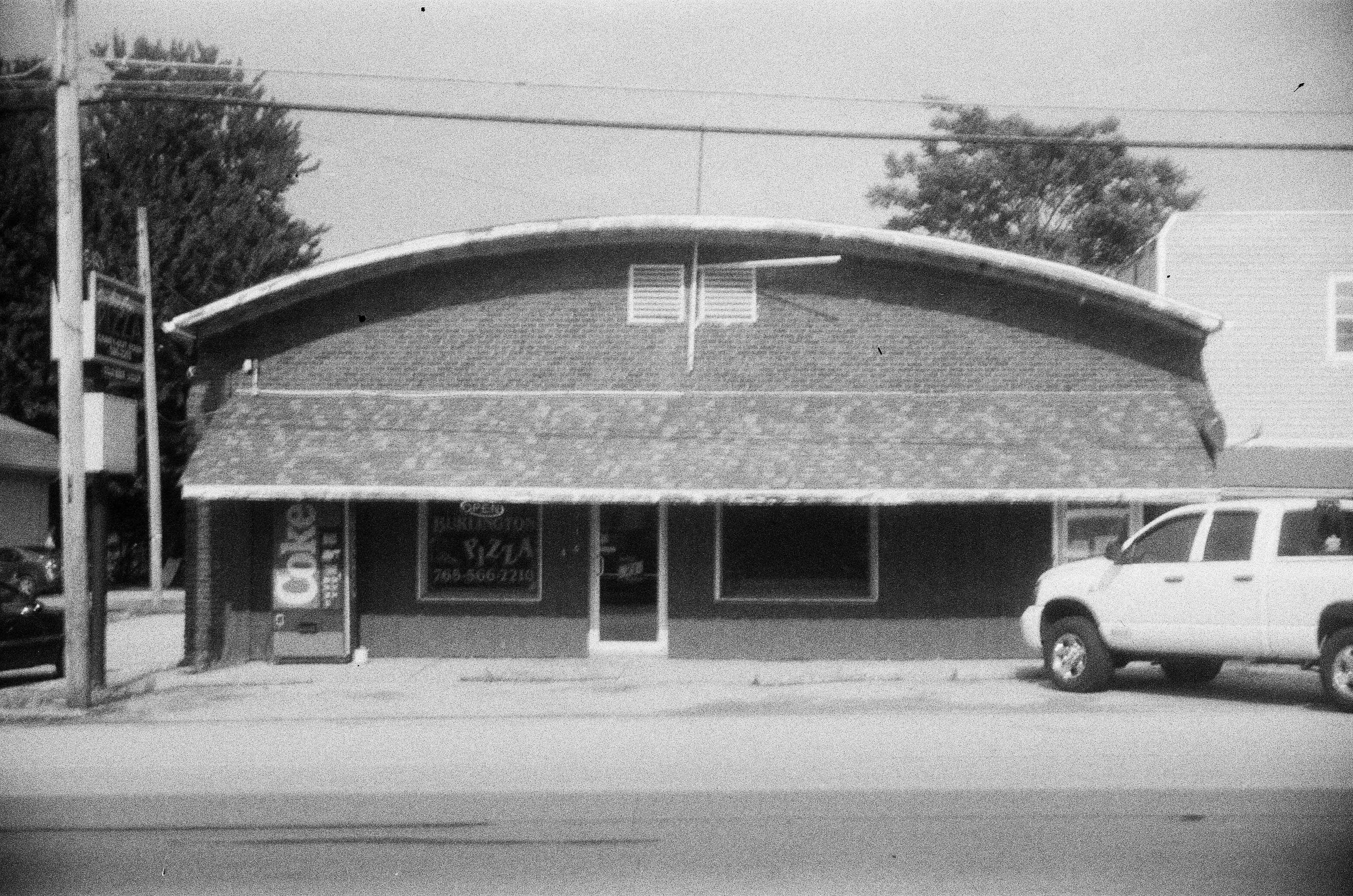
Burlington Pizza

BBQ Legs

Russiaville Historical Society

Sleepy puppy

#napsrule
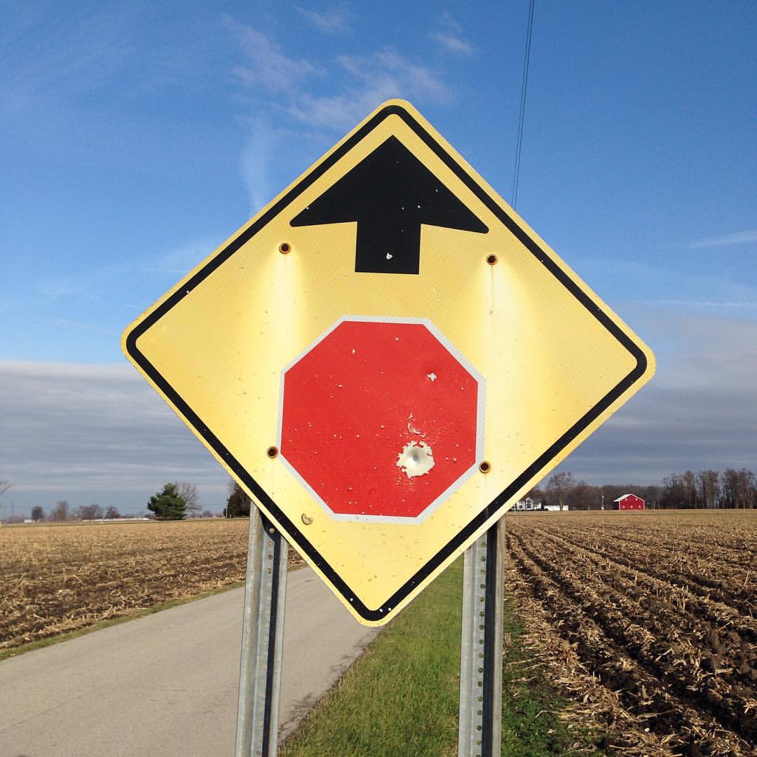
Thanks for having us Indiana! #route66 #roadtrip2015 #woundedstopsignahead

Purple to yellow
Topographic Map of Forest Township, IN, USA
Find elevation by address:

Places in Forest Township, IN, USA:
Places near Forest Township, IN, USA:
N County Rd E, Forest, IN, USA
Forest
Johnson Township
N Union St, Russiaville, IN, USA
16 S Co Rd E, Frankfort, IN, USA
Monroe Township
Thurman St, Frankfort, IN, USA
W S, Russiaville, IN, USA
Michigantown
Warren Township
IN-26, Frankfort, IN, USA
Michigan Township
19 IN-29, Michigantown, IN, USA
County Rd W N, Kokomo, IN, USA
Harrison Township
Kirklin Township
3552 Christopher Dr
Jefferson Township
Ervin Township
Washington Ave, Frankfort, IN, USA
Recent Searches:
- Elevation of Corso Fratelli Cairoli, 35, Macerata MC, Italy
- Elevation of Tallevast Rd, Sarasota, FL, USA
- Elevation of 4th St E, Sonoma, CA, USA
- Elevation of Black Hollow Rd, Pennsdale, PA, USA
- Elevation of Oakland Ave, Williamsport, PA, USA
- Elevation of Pedrógão Grande, Portugal
- Elevation of Klee Dr, Martinsburg, WV, USA
- Elevation of Via Roma, Pieranica CR, Italy
- Elevation of Tavkvetili Mountain, Georgia
- Elevation of Hartfords Bluff Cir, Mt Pleasant, SC, USA