Elevation of County Rd W N, Kokomo, IN, USA
Location: United States > Indiana > Howard County > Ervin Township >
Longitude: -86.294443
Latitude: 40.4891667
Elevation: 244m / 801feet
Barometric Pressure: 98KPa
Elevation Map:
Satellite Map:
Related Photos:

A VW Life

My Indiana View

Such an amazing view today on campus! #myiuk

long lost
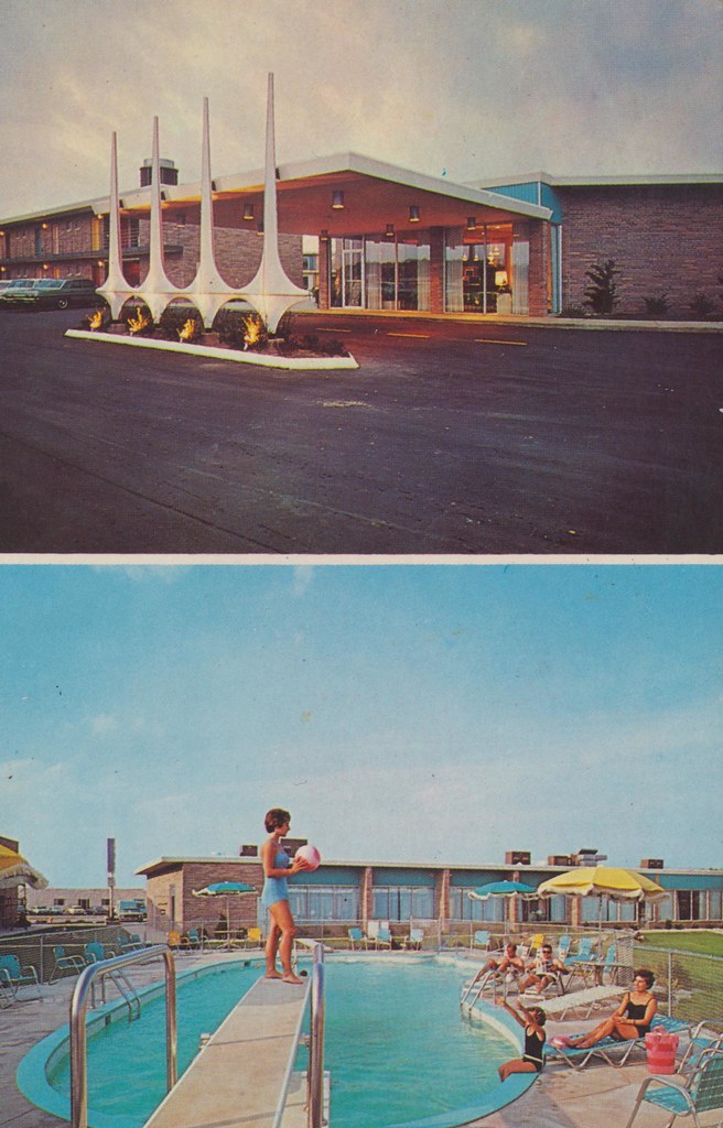
Kings Crown Motel - Kokomo, Indiana

Rusty Door

Laurie Burns McRobbie campus tour

Observatory open house for the "ring of fire"

Day of Change
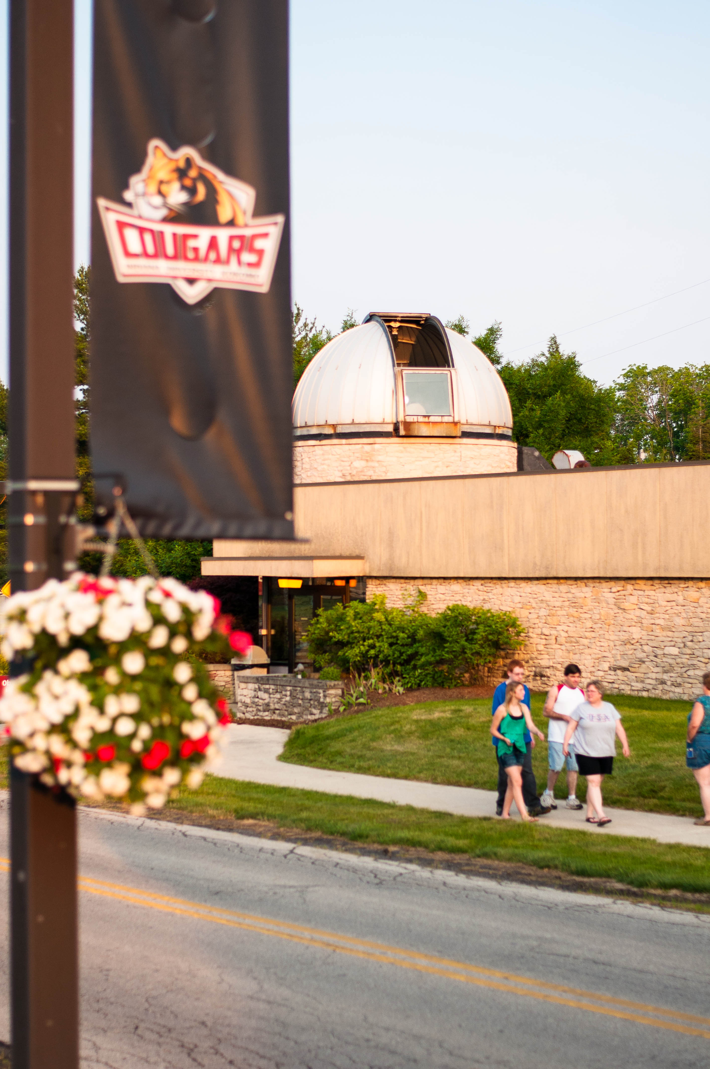
Observatory open house for the "ring of fire"

9/11 Thoughts

9/11 Thoughts

Observatory open house for the "ring of fire"
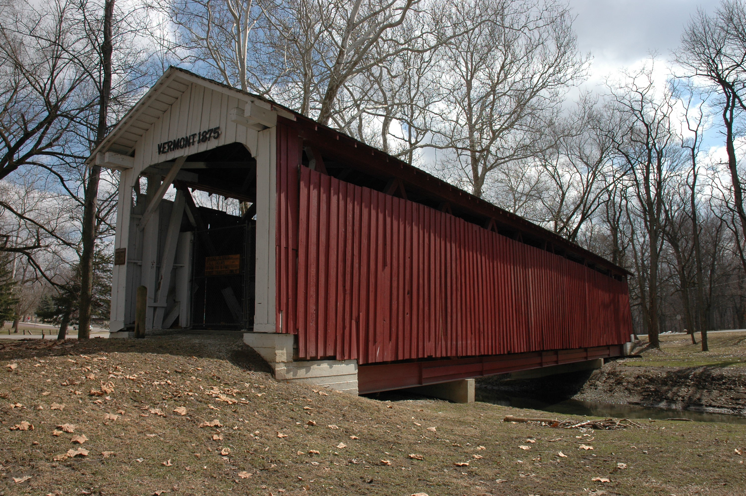
Vermont Covered Bridge

Community Boy Scouts gaze at the stars

9/11 Thoughts

Observatory open house for the "ring of fire"

Howard County Historical Society - Sieberling Mansion 08-06-2013 View of First Floor Front Stairway

Long day, great view!
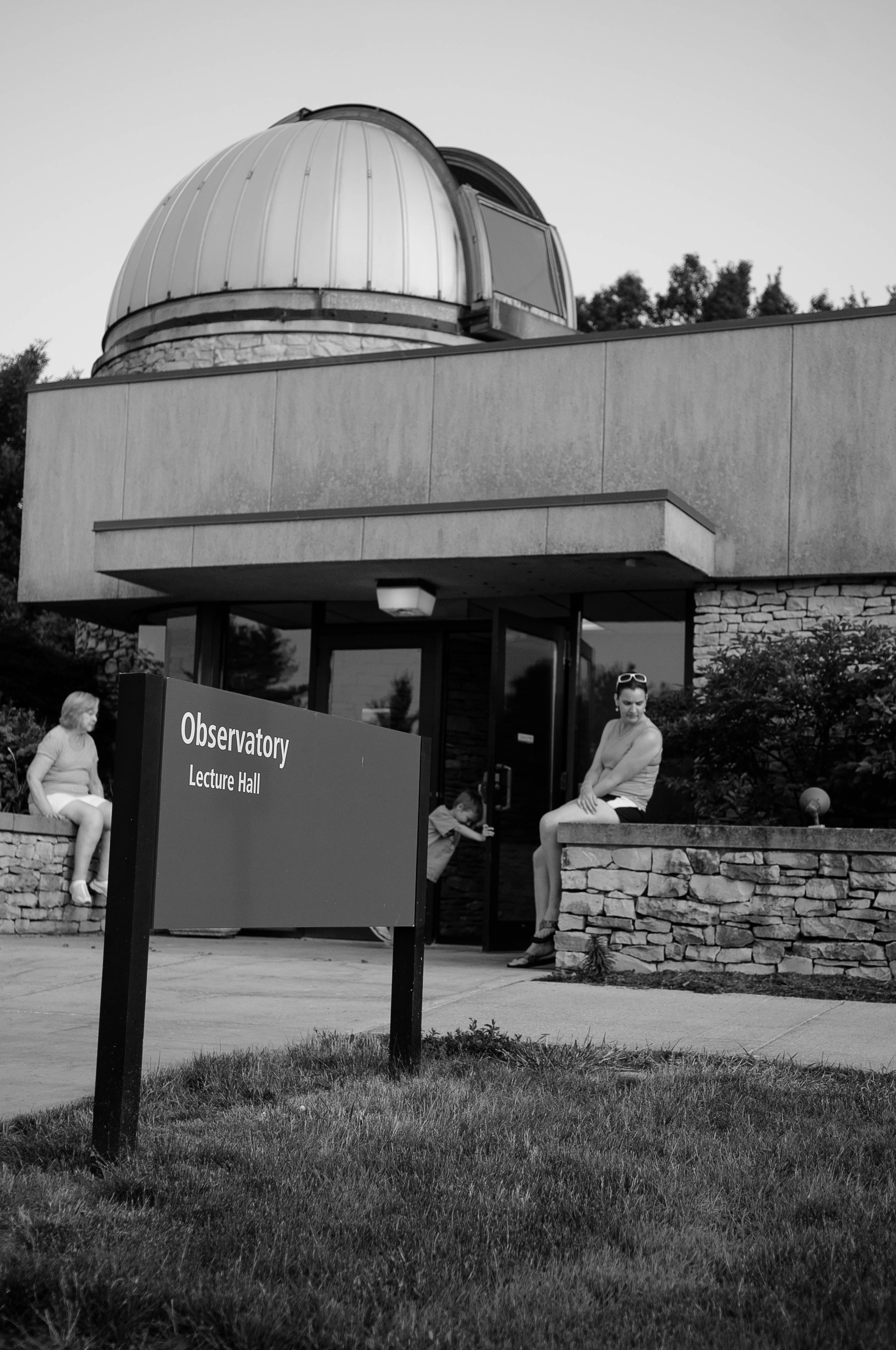
Observatory open house for the "ring of fire"

Observatory open house for the "ring of fire"
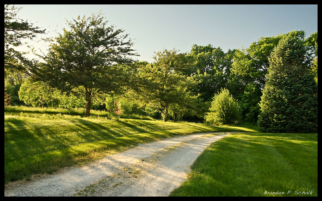
Farm Lane

Sunset in pink and purple

at Glenndale Airport
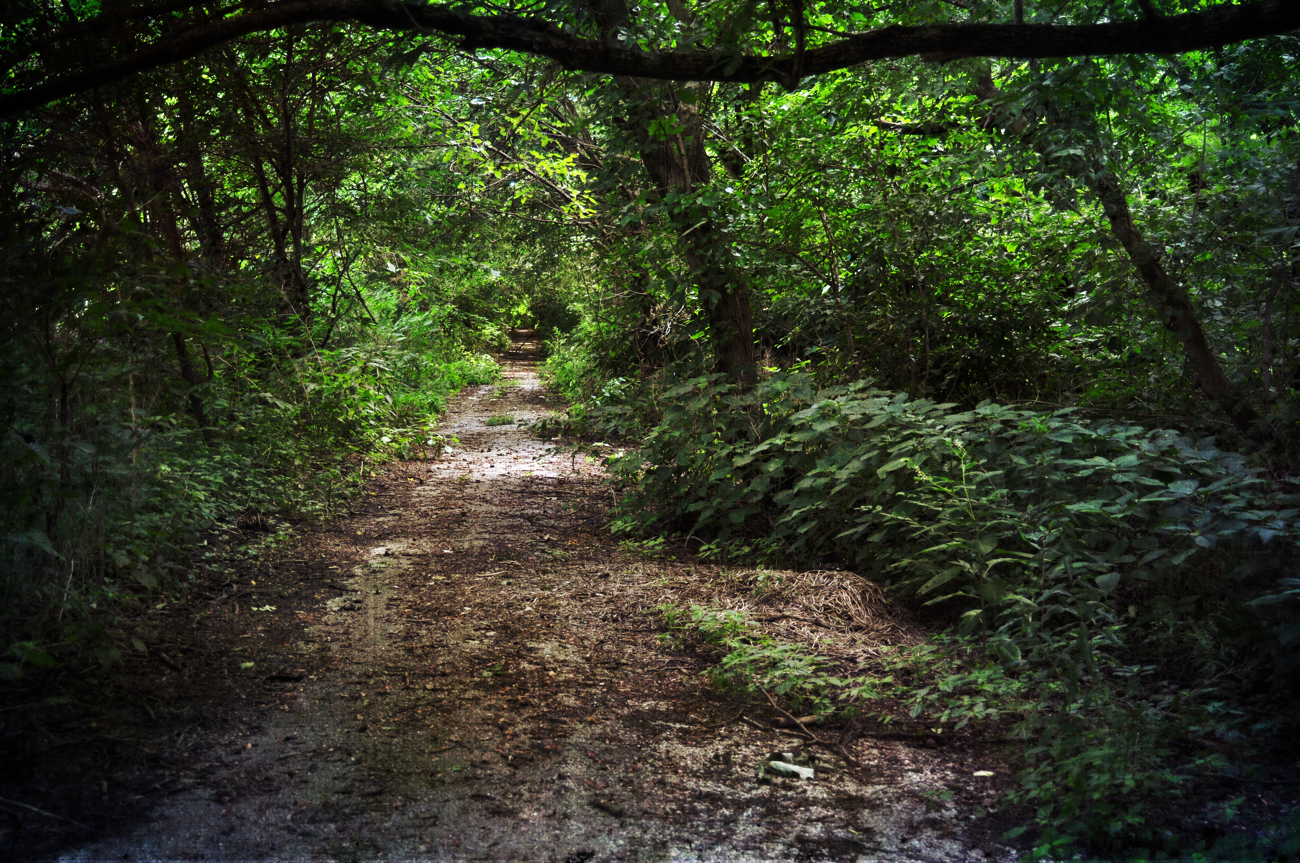
wildcat river way

a perfect couple

Cougars Volleyball Team with Nursing FIT Kamp
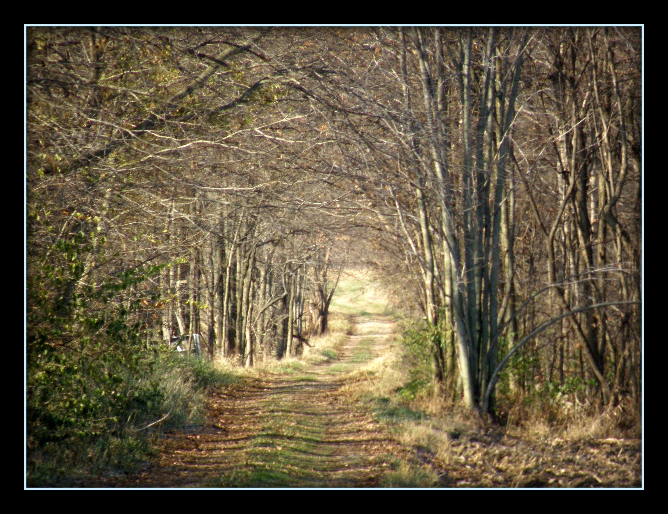
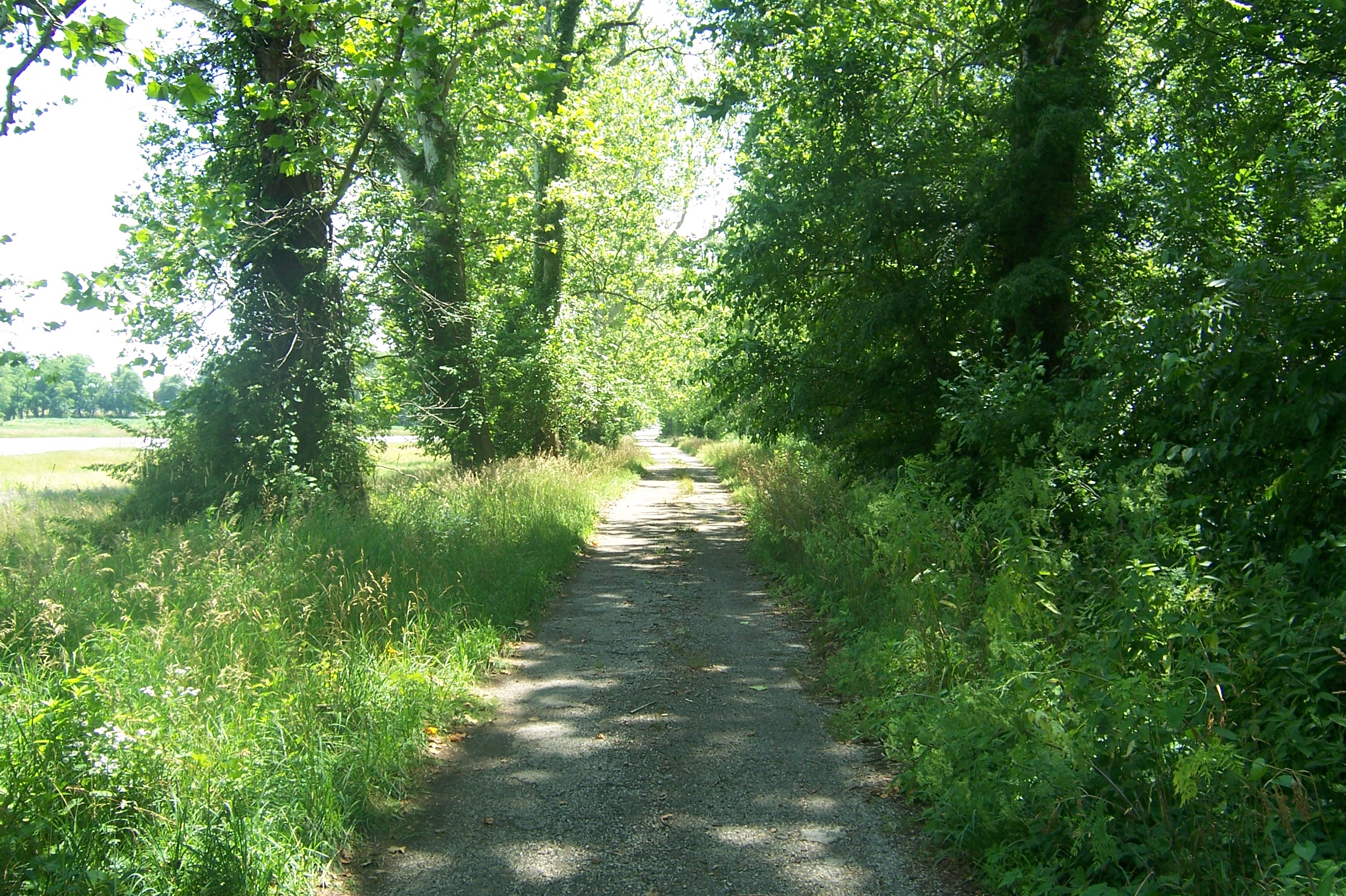
wooded roadway
DSC_0037-texture

Seiberling Mansion 09-20-2014 54 - Tapestry
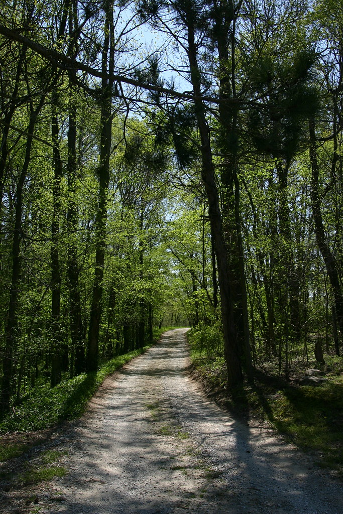
Sycamore Row

FIT Camp

FIT Camp

Commencement 2012
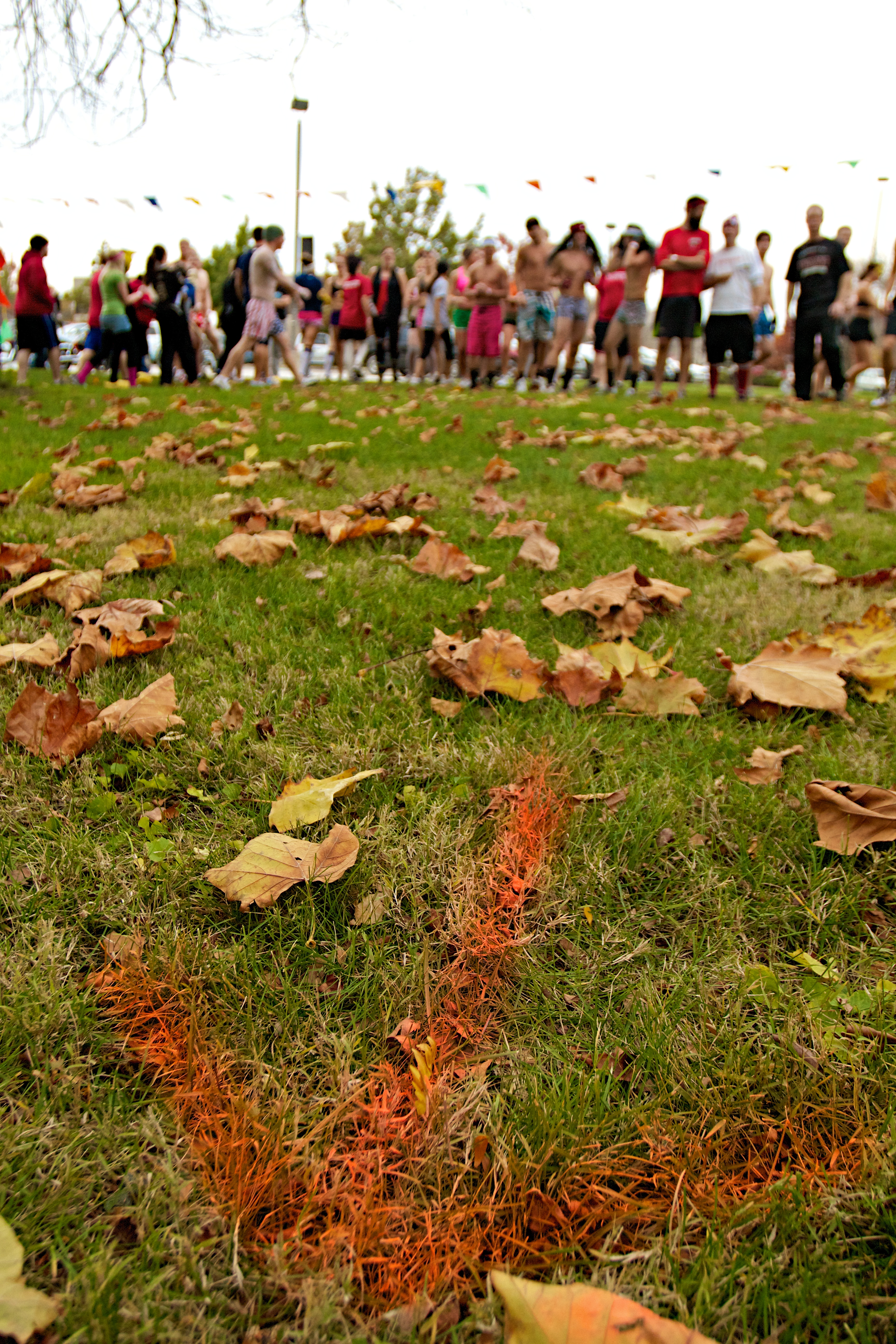
Nearly Naked Mile 2011 7

1930 FORD MODEL A

Kokomo Jackrabbits
Topographic Map of County Rd W N, Kokomo, IN, USA
Find elevation by address:

Places near County Rd W N, Kokomo, IN, USA:
Ervin Township
N W, Kokomo, IN, USA
Monroe Township
W S, Russiaville, IN, USA
N Union St, Russiaville, IN, USA
4509 Parkwood Dr
W N, Flora, IN, USA
Harrison Township
IN-26, Frankfort, IN, USA
3552 Christopher Dr
Forest
N County Rd E, Forest, IN, USA
Forest Township
434 S Maple St
Galveston
W Jackson St, Galveston, IN, USA
206 Lody Ln
Warren Township
Center Township
Jackson Township
Recent Searches:
- Elevation of Corso Fratelli Cairoli, 35, Macerata MC, Italy
- Elevation of Tallevast Rd, Sarasota, FL, USA
- Elevation of 4th St E, Sonoma, CA, USA
- Elevation of Black Hollow Rd, Pennsdale, PA, USA
- Elevation of Oakland Ave, Williamsport, PA, USA
- Elevation of Pedrógão Grande, Portugal
- Elevation of Klee Dr, Martinsburg, WV, USA
- Elevation of Via Roma, Pieranica CR, Italy
- Elevation of Tavkvetili Mountain, Georgia
- Elevation of Hartfords Bluff Cir, Mt Pleasant, SC, USA