Elevation of Forest Road, Forest Rd, East Bethel, MN, USA
Location: United States > Minnesota > Anoka County > East Bethel >
Longitude: -93.155421
Latitude: 45.307902
Elevation: 280m / 919feet
Barometric Pressure: 98KPa
Elevation Map:
Satellite Map:
Related Photos:

Sterile and/or serene evening!

Infrastructure prepped and ready for a wave of mid-aughts bubble development.

A rich suburban schoolyard.
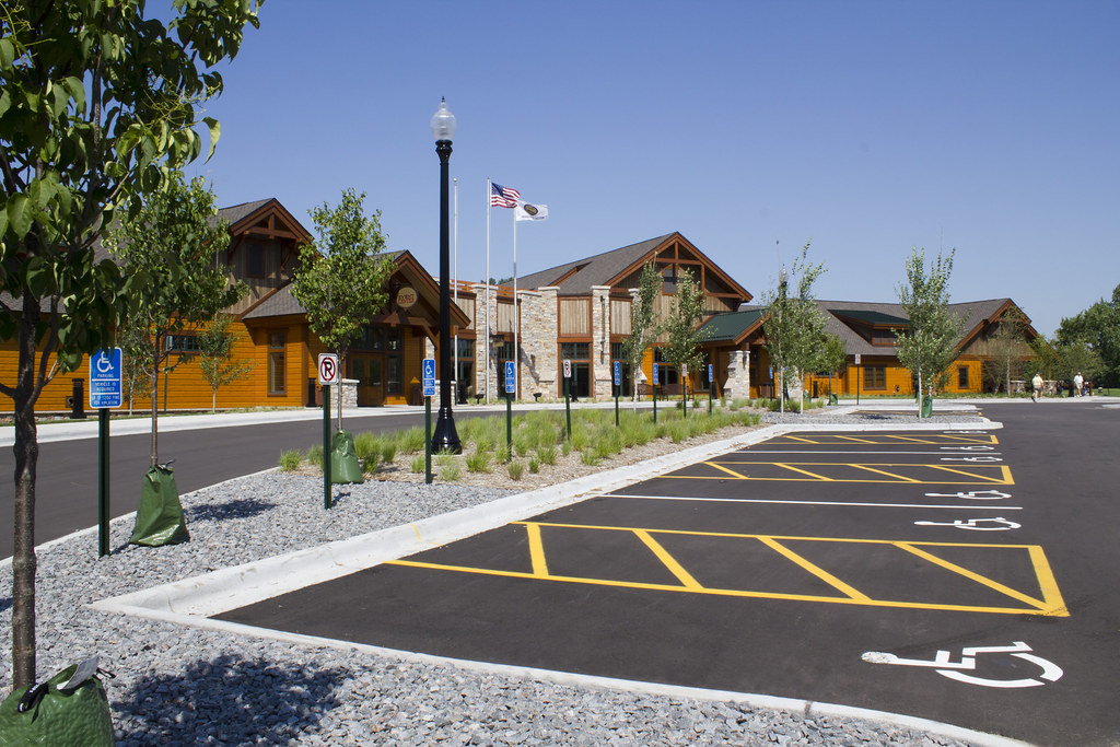
Coon Rapids, MN – Bunker Hills Golf Club New Clubhouse and Site Improvements
Topographic Map of Forest Road, Forest Rd, East Bethel, MN, USA
Find elevation by address:

Places near Forest Road, Forest Rd, East Bethel, MN, USA:
19237 E Front Blvd Ne
E Lake Netta Dr, Ham Lake, MN, USA
East Bethel
17838 Zodiac St Ne
2171 165th Ln Ne
th Ln NE, Wyoming, MN, USA
Anoka County
2161 165th Ln Ne
165th Lane Northeast
1943 Jenkins St Ne
1809 211th Ave Ne
7242 161st Ave Ne
Linwood Township
U-pull R-parts
Martin Lake
23470 Orion St Ne
Cedar East Bethel
Ham Lake
Jackson St NE, Ham Lake, MN, USA
6470 242nd Ave Ne
Recent Searches:
- Elevation of Corso Fratelli Cairoli, 35, Macerata MC, Italy
- Elevation of Tallevast Rd, Sarasota, FL, USA
- Elevation of 4th St E, Sonoma, CA, USA
- Elevation of Black Hollow Rd, Pennsdale, PA, USA
- Elevation of Oakland Ave, Williamsport, PA, USA
- Elevation of Pedrógão Grande, Portugal
- Elevation of Klee Dr, Martinsburg, WV, USA
- Elevation of Via Roma, Pieranica CR, Italy
- Elevation of Tavkvetili Mountain, Georgia
- Elevation of Hartfords Bluff Cir, Mt Pleasant, SC, USA