Elevation of Forest Grove, BC V0K, Canada
Location: Canada > British Columbia > Cariboo > Cariboo H >
Longitude: -121.09816
Latitude: 51.7671149
Elevation: 887m / 2910feet
Barometric Pressure: 91KPa
Elevation Map:
Satellite Map:
Related Photos:
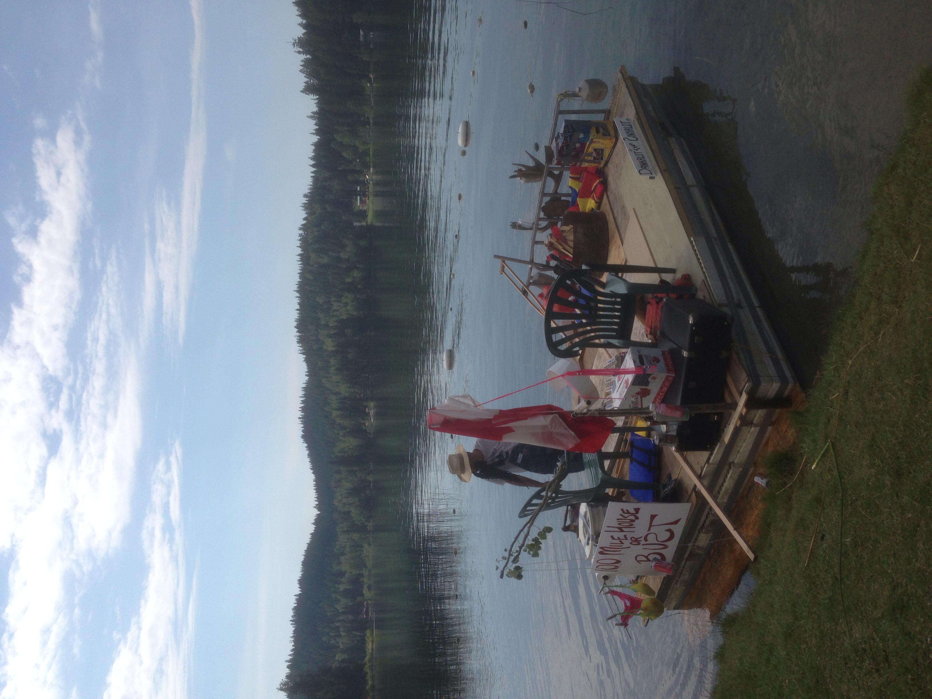
Red Neck Regatta

Red Neck Regatta
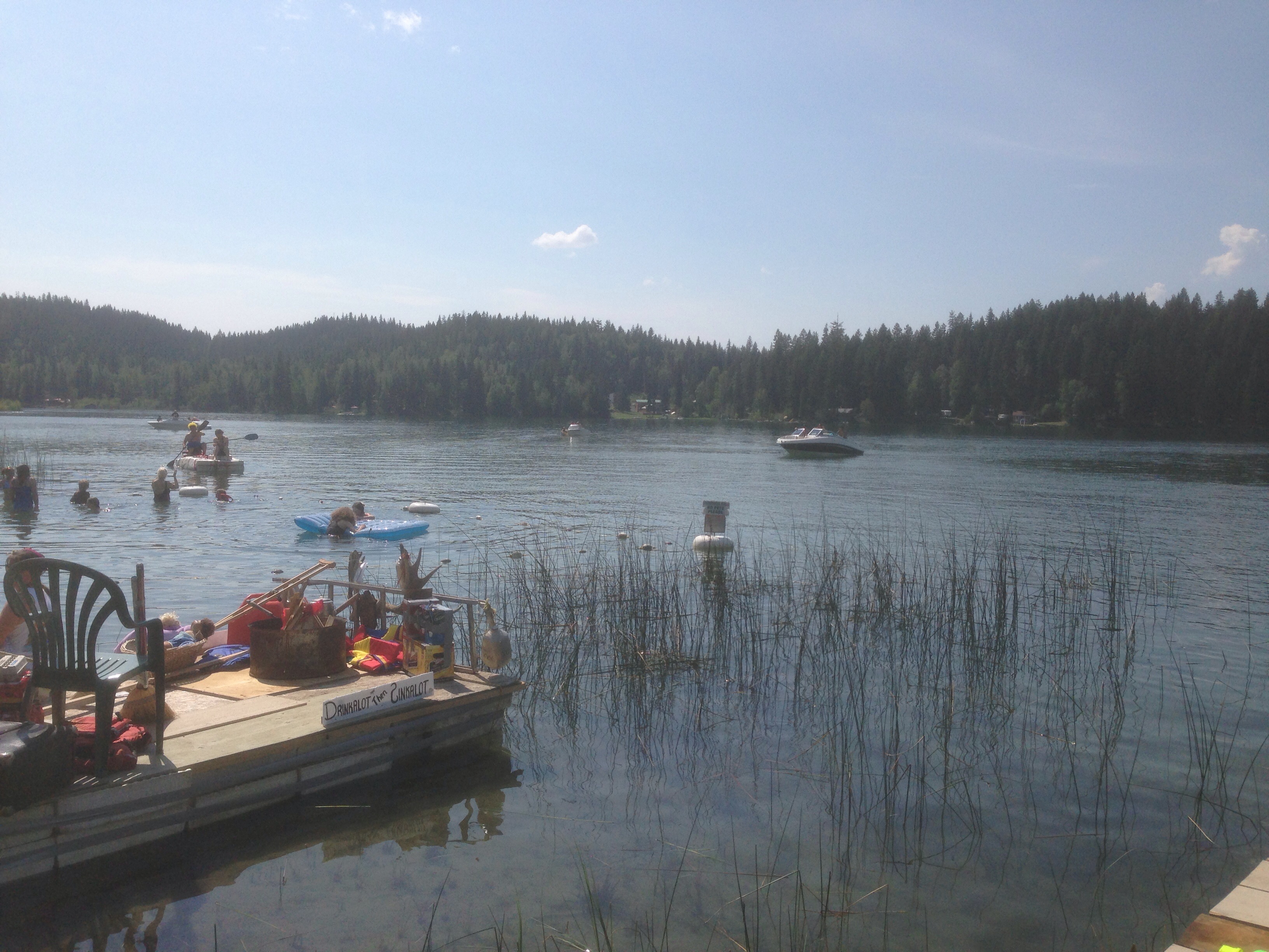
Red Neck Regatta
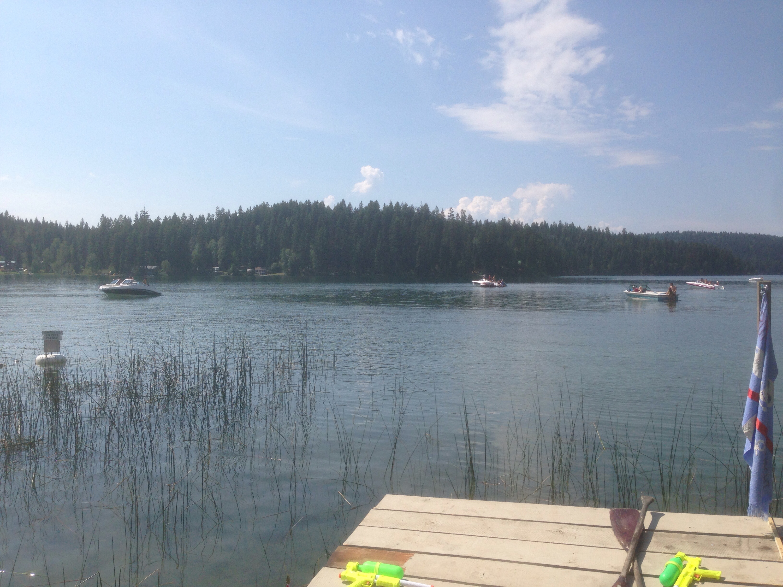
Red Neck Regatta

Canoeing in the Cariboo

Kanada_06_064_Lac des Roches

Kanada_06_065_Lac des Roches
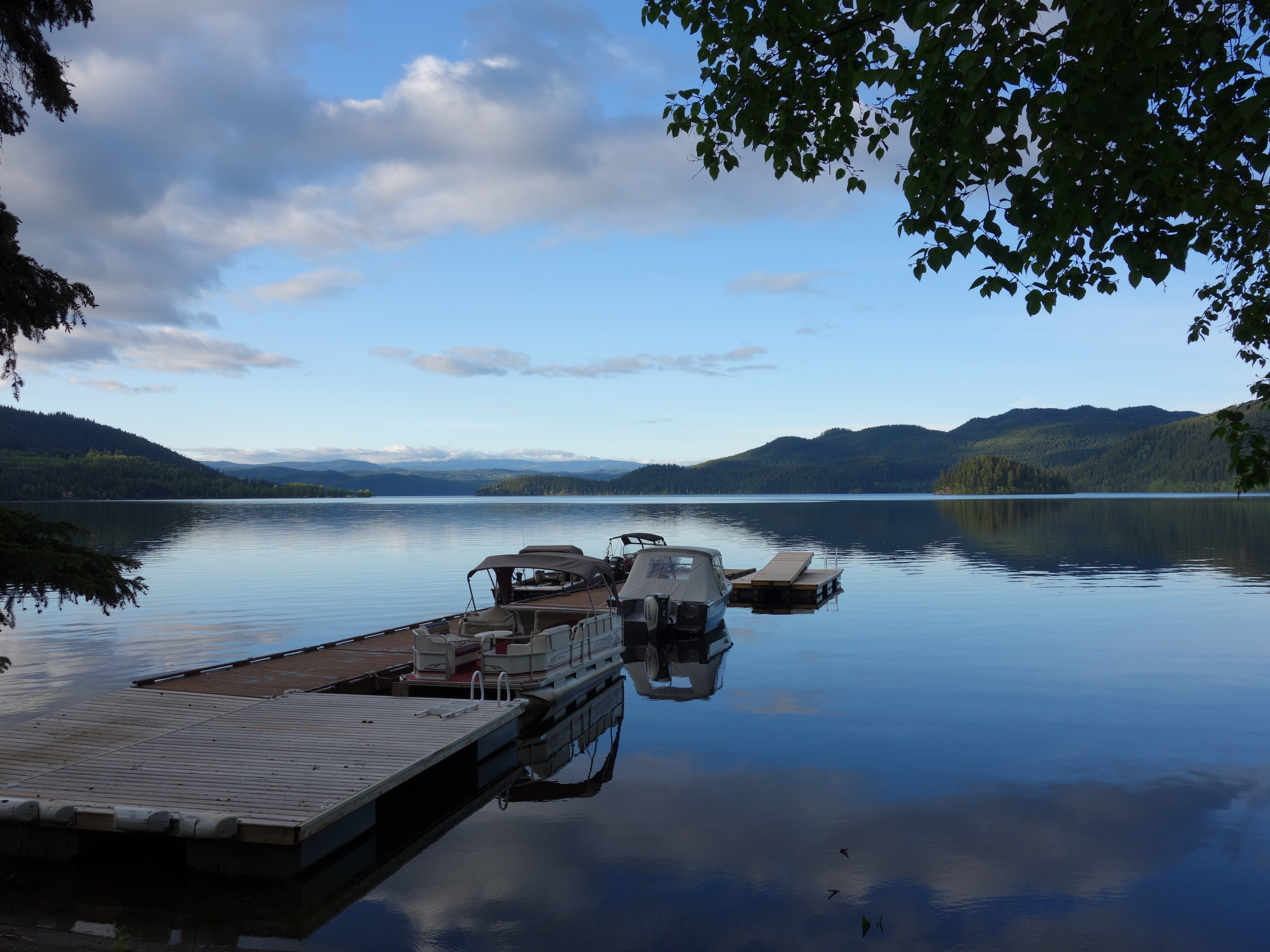
Canim Lake

Science class: mouse behaviour.
Topographic Map of Forest Grove, BC V0K, Canada
Find elevation by address:

Places in Forest Grove, BC V0K, Canada:
Canim-Hendrix Lake Rd, Forest Grove, BC V0K 1M0, Canada
Canim Lake South Road
Wilcox Road
Highview Drive
Timothy Lake
Places near Forest Grove, BC V0K, Canada:
4513 Canim-hendrix Lake Rd
Highview Drive
6420 Wilcox Rd
4694 Bates Rd
4686 Bates Rd
4322 Eagle Creek Rd
6314 Spuraway Drive
Biss Road
4034 Wilcox Rd
Wilcox Road
Ruth Lake Lodge
Buffalo Creek
Buffalo Lake
6219 Houseman Rd
6176 Houseman Rd
6159 Houseman Rd
5928 Ridgeview Rd
5784 Simon Lake Rd
Timothy Lake
Recent Searches:
- Elevation of Corso Fratelli Cairoli, 35, Macerata MC, Italy
- Elevation of Tallevast Rd, Sarasota, FL, USA
- Elevation of 4th St E, Sonoma, CA, USA
- Elevation of Black Hollow Rd, Pennsdale, PA, USA
- Elevation of Oakland Ave, Williamsport, PA, USA
- Elevation of Pedrógão Grande, Portugal
- Elevation of Klee Dr, Martinsburg, WV, USA
- Elevation of Via Roma, Pieranica CR, Italy
- Elevation of Tavkvetili Mountain, Georgia
- Elevation of Hartfords Bluff Cir, Mt Pleasant, SC, USA