Elevation of Canim Lake South Road, Canim Lake S Rd, Canim Lake, BC V0K 1J0, Canada
Location: Canada > British Columbia > Cariboo > Cariboo H > Forest Grove >
Longitude: -120.83938
Latitude: 51.8167442
Elevation: 778m / 2552feet
Barometric Pressure: 92KPa
Elevation Map:
Satellite Map:
Related Photos:
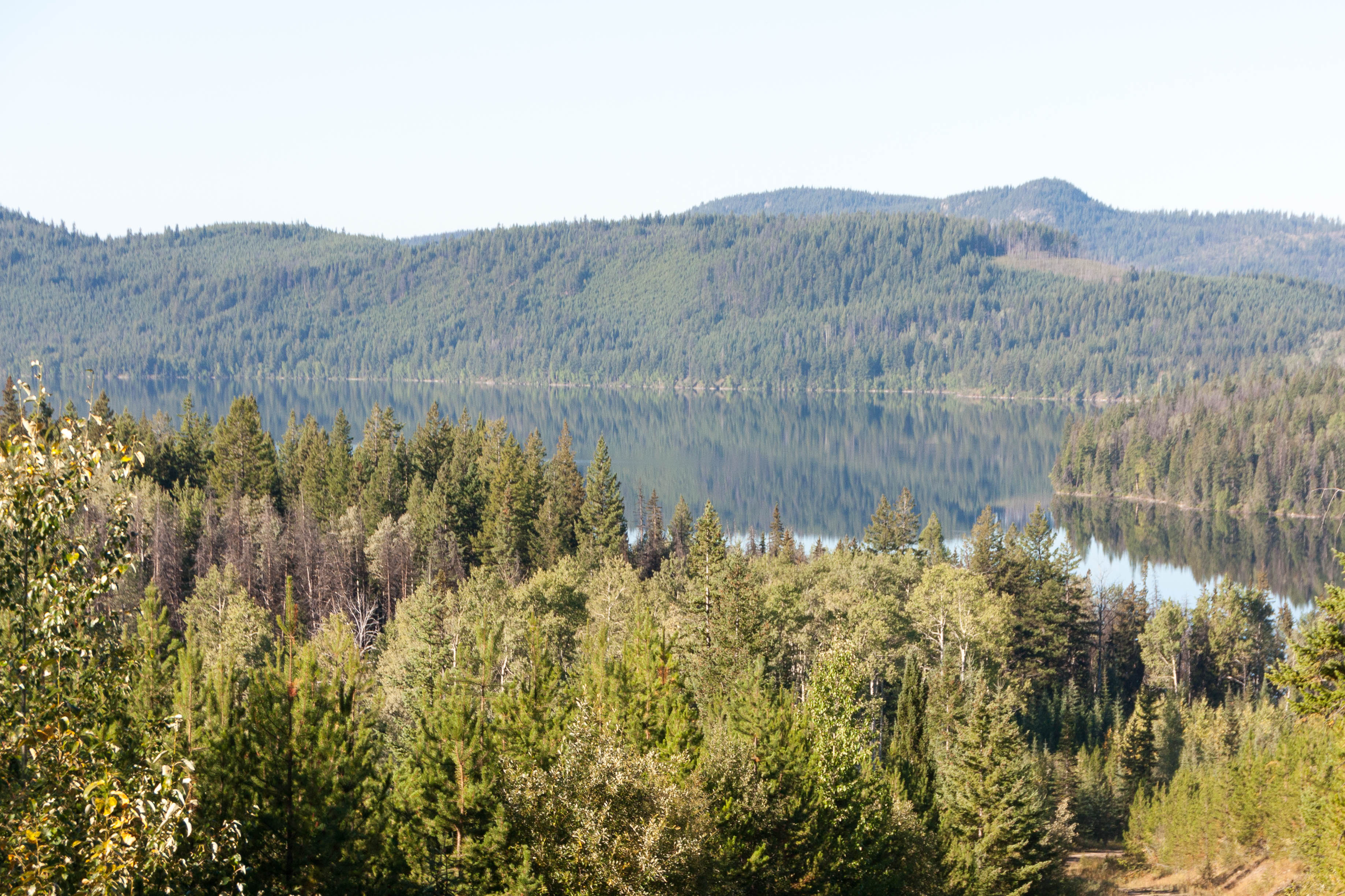
Horse Lake Trip 2014-09-06 007-LR
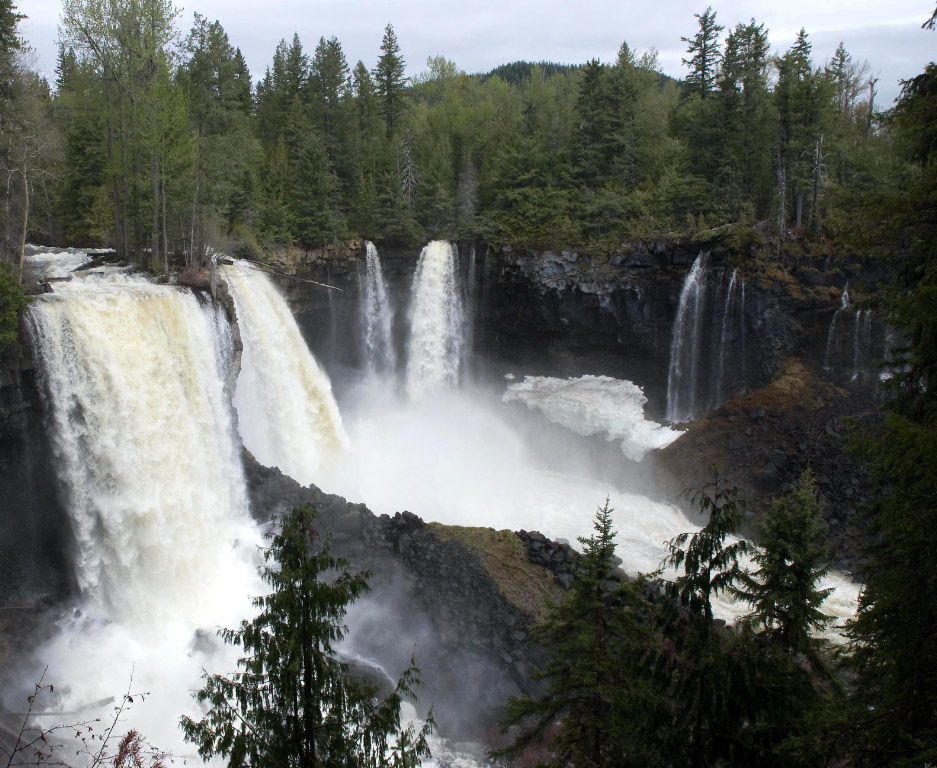
Canim Falls. In Wells Gray Park
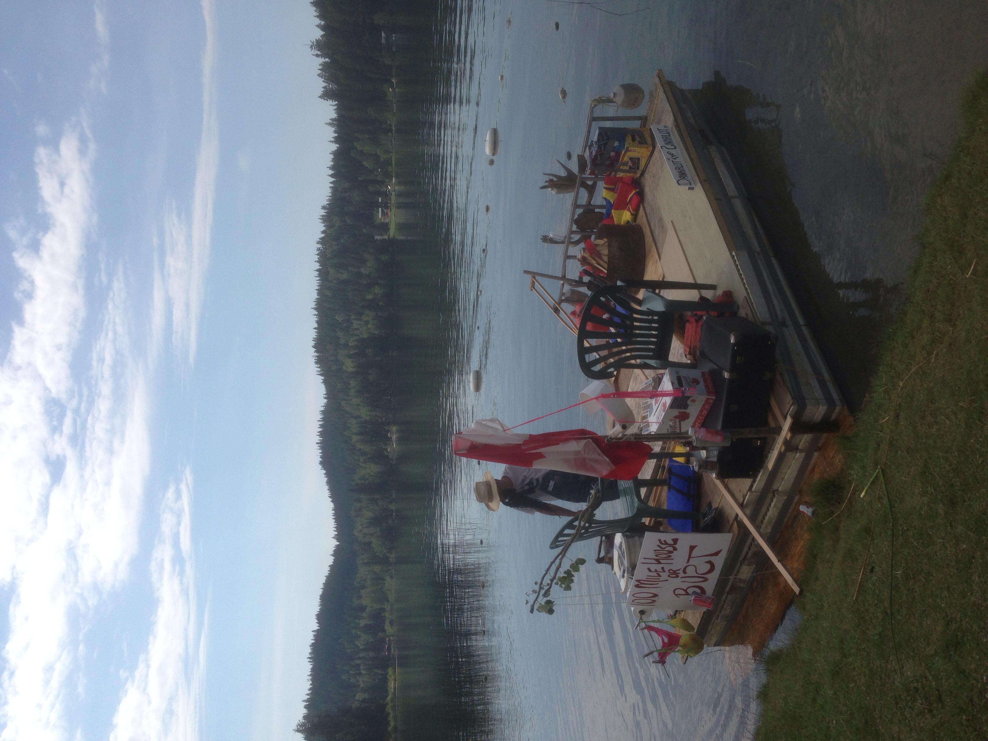
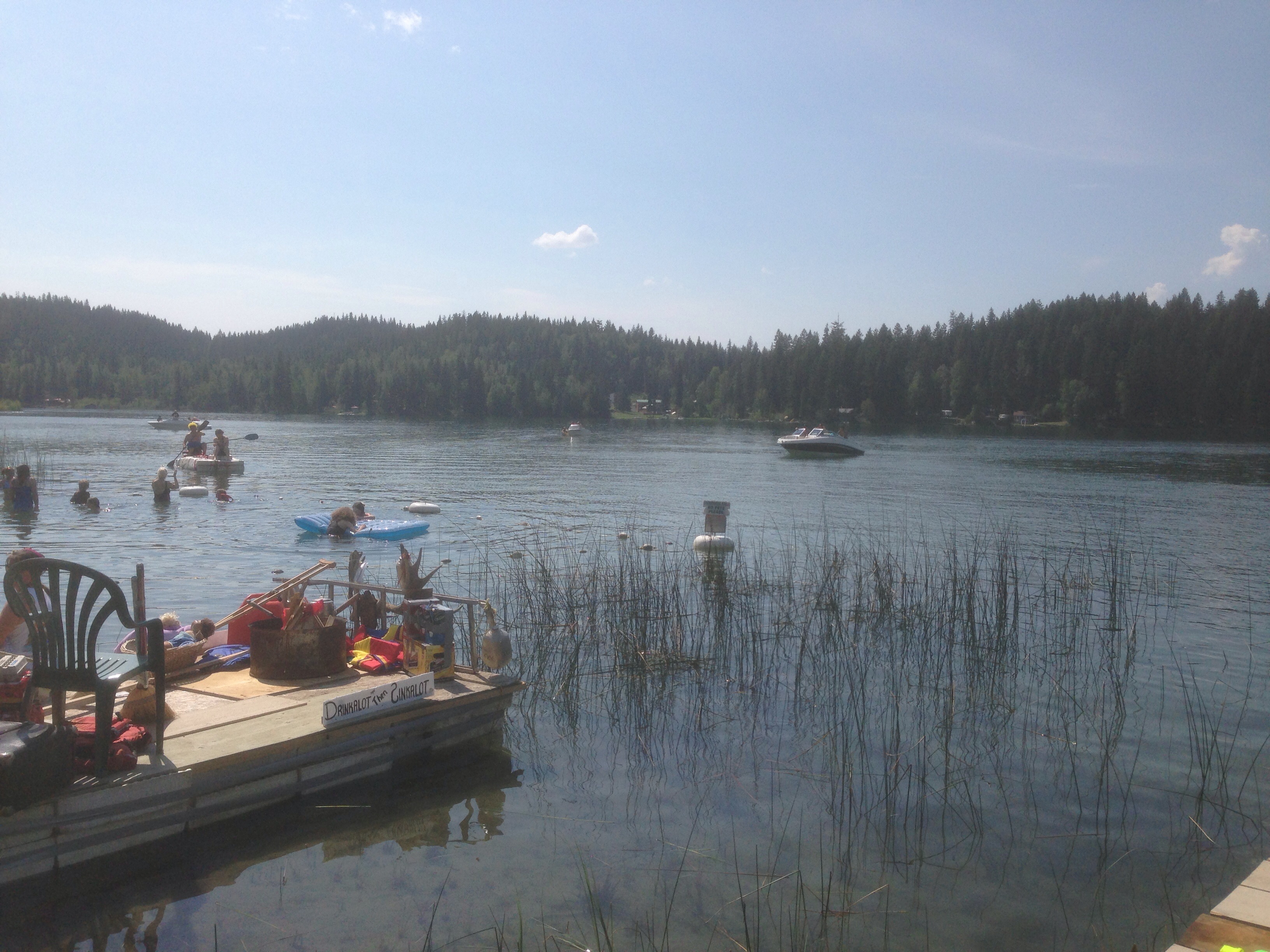
Red Neck Regatta
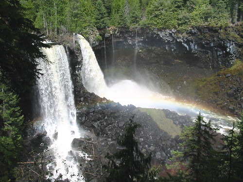
Trip to the Waterfalls

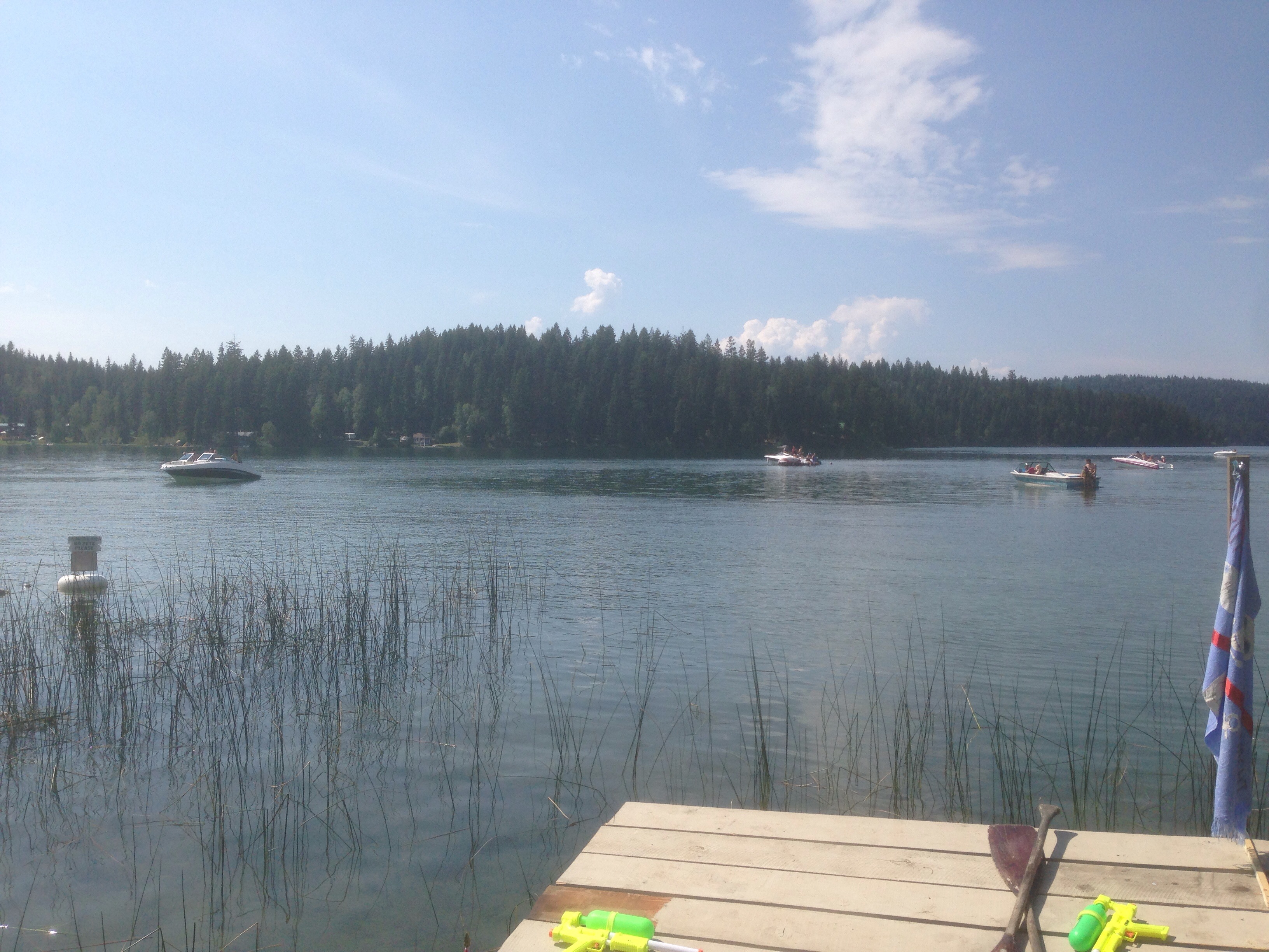
Red Neck Regatta

Kanada_06_064_Lac des Roches
Red Neck Regatta

Kanada_06_065_Lac des Roches
Red Neck Regatta
Topographic Map of Canim Lake South Road, Canim Lake S Rd, Canim Lake, BC V0K 1J0, Canada
Find elevation by address:

Places near Canim Lake South Road, Canim Lake S Rd, Canim Lake, BC V0K 1J0, Canada:
Canim-Hendrix Lake Rd, Forest Grove, BC V0K 1M0, Canada
Mahood Lake Road
Canim Lake
Deka Lake
Sulphurous Lake
Deka Lake Fire Dept
7613 Farquharson Rd
Interlakes
7109 Lakes Blvd
Cariboo H
Sheridan Lake
Cariboo L
Bridge Lake
West King Lake
Bridge Lake
7550 Eagleridge Rd
Lac Des Roches Resort
Helmcken Falls
Dawson Falls
Little Fort Fly & Tackle
Recent Searches:
- Elevation of 3 Nestling Wood Dr, Long Valley, NJ, USA
- Elevation of Ilungu, Tanzania
- Elevation of Yellow Springs Road, Yellow Springs Rd, Chester Springs, PA, USA
- Elevation of Rēzekne Municipality, Latvia
- Elevation of Plikpūrmaļi, Vērēmi Parish, Rēzekne Municipality, LV-, Latvia
- Elevation of 2 Henschke Ct, Caboolture QLD, Australia
- Elevation of Redondo Ave, Long Beach, CA, USA
- Elevation of Sadovaya Ulitsa, 20, Rezh, Sverdlovskaya oblast', Russia
- Elevation of Ulitsa Kalinina, 79, Rezh, Sverdlovskaya oblast', Russia
- Elevation of 72-31 Metropolitan Ave, Middle Village, NY, USA