Elevation of Foothill St, Redwood City, CA, USA

Location: United States > California > San Mateo County > Redwood City > Farm Hills >

Longitude: -122.24599

Latitude: 37.4586837

Elevation: 40m / 131feet

Barometric Pressure: 101KPa

Elevation Map:

elevation map of Foothill St, Redwood City, CA, USA

Satellite Map:

Satellite map of Foothill St, Redwood City, CA, USA

Related Photos:

snowy egret
IMG_8090 Snowy Egret, Mountain View Shoreline Park, CA
city clouds sunrise bay harbor san francisco day cloudy 100views redwood slough westpoint 6143
It Pays to be a 'Morning Person'
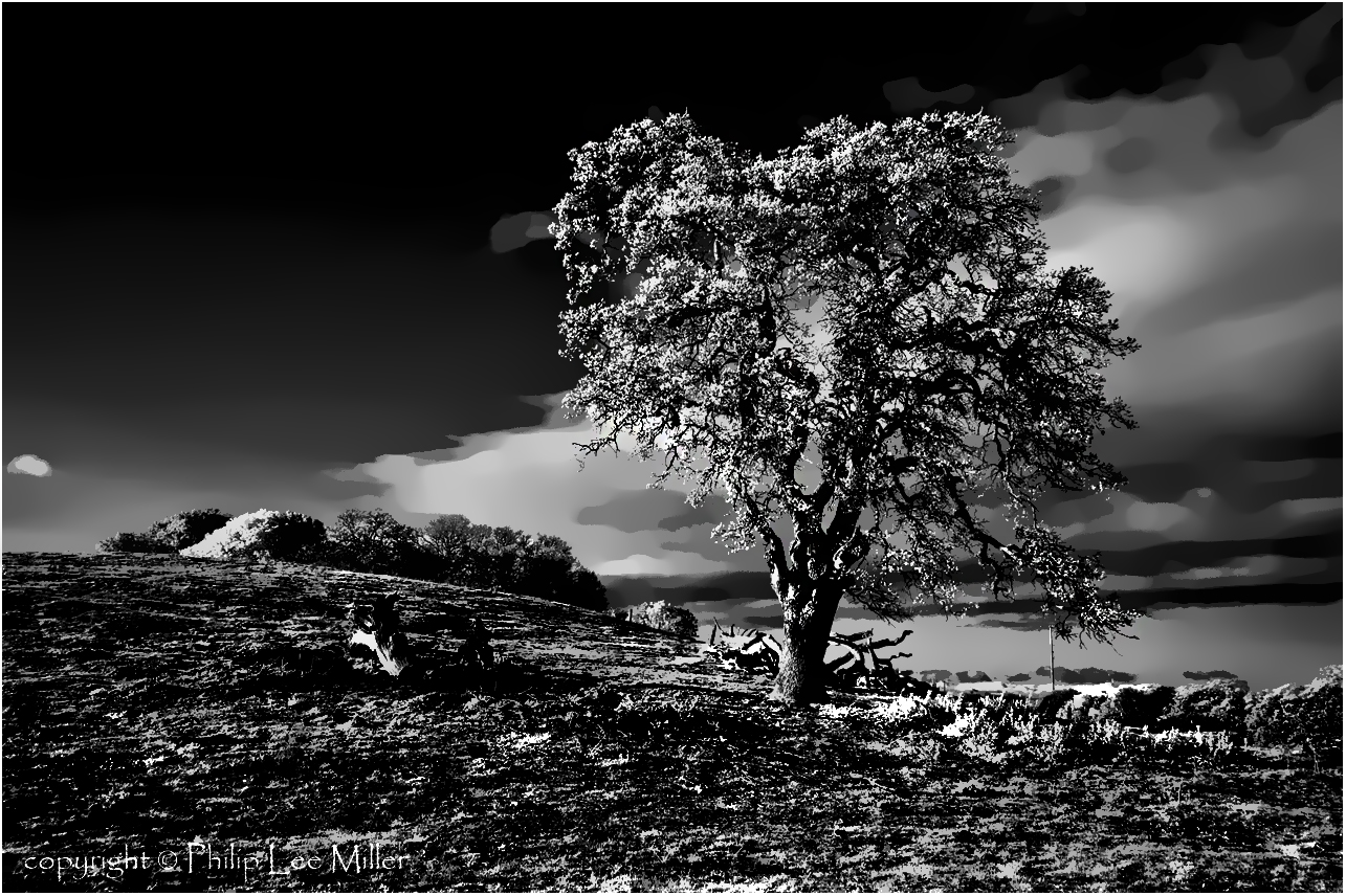
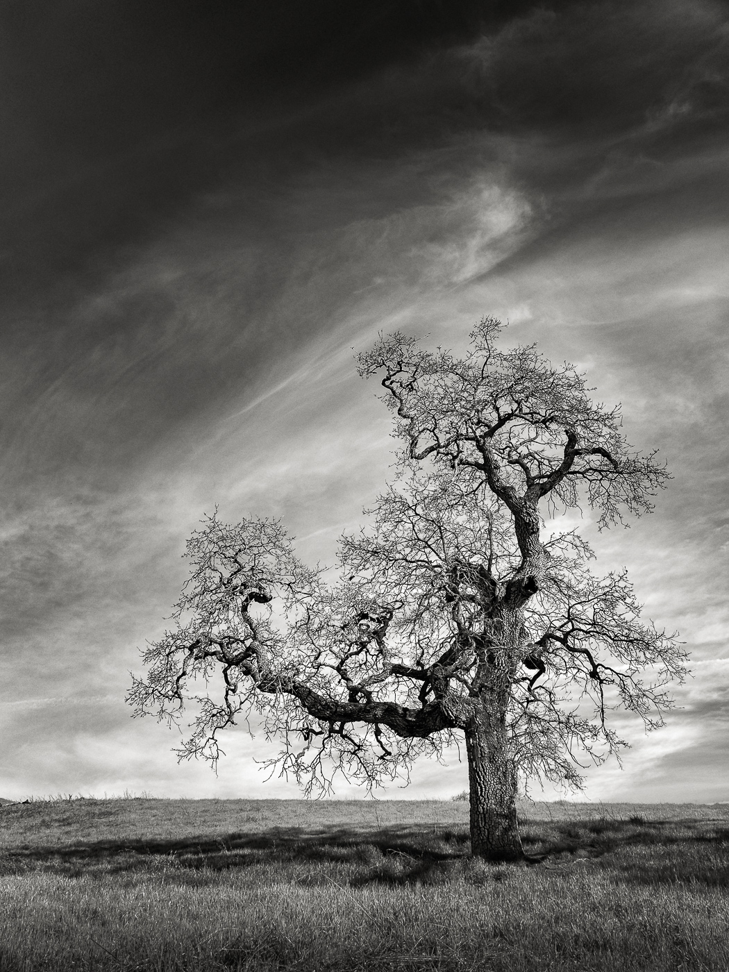
california ca sunset usa tree us oak day unitedstates cloudy paloalto hdr gnarled exposureblending photomatix dishtrail standforduniversity
Gnarled Oak
park mountain canon is view shoreline l usm tern 100400mm forsterstern forsters coth greatshots topshots specanimal photosandcalendar natureselegantshots panoramafotografico coth5 theoriginalgoldseal flickrsportal flickrportal ringexcellence dblringexcellence tplringexcellence eltringexcellence
IMG_1380 Let Me Feed You, Honey.
white bird interestingness bravo 11 explore egret strut snowyegret shorebird egrettathula naturesfinest 255 theintimidator specanimal impressedbeauty avianexcellence
Egret Strut
ca sunset sky clouds square landscape evening bay hills squareformat paloalto hefe iphoneography instagramapp uploaded:by=instagram foursquare:venue=4b2881b9f964a520b99324e3
view from the Palo Alto hills down to the bay.
homes sunset sky night clouds canon oracle cloudy belmont lagoon hills fostercity awardwinning larryellison sanfroncisco ef1740 oracleheadquarters canon5dmarkiii kptripathi pinkskycalifornia
Life is Beautiful
mountainview california googlecampus crittendenlane outdoor horse statue horsestatue wood woodenstatue art sculpture grass grassfield field sunset cloud cloudy 3xp raw nex6 selp1650 photomatix hdr qualityhdr qualityhdrphotography shoreline deborahbutterfield bronze castbronze bronzestatue fav200 siliconvalley
Fire breathing dragon
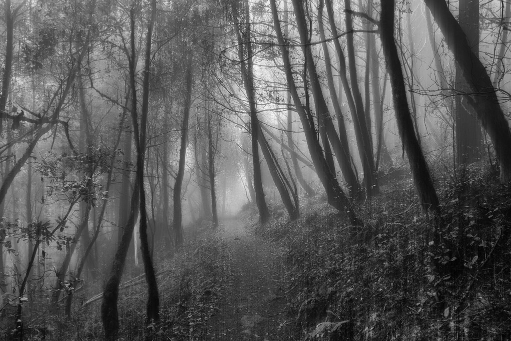
california bw nature grass clouds landscape d70 infrared oaktrees topazclean silverefex stanfordweekendacres
If Trees Could Talk
park mountain canon is view shoreline l usm tern 100400mm forsterstern forsters coth supershot avianexcellence bestcapturesaoi ringexcellence dblringexcellence tplringexcellence
IMG_5922 Forster's Tern Hovering, Mountain View Shoreline Park, California
square squareformat iphoneography instagramapp uploaded:by=instagram
Today's lunchtime view. The rain was great this morning & I love these clouds!
trees nature water fog landscape powerlines sanandreasfault marinelayer sanmateocounty portola crystalspringsreservoir weatherpatterns brightsunnydays d7000 galleryoffantasticshots
Power Meets Power
squirrel groundsquirrel paloaltobaylands
The best seat in the house
longexposure sunset highway dusk freeway mountainview chainlinkfence highway101
Into the Sunset (Highway 101)
sky building cemetery grass architecture mausoleum handheld sfbayarea norcal 12mm hdr sanmateo sigma1020mm 3xp photomatix tophdr canon40d joeercoli anvilimage
St John's
california bridge winter sunset panorama color water silhouette reflections bay nikon track view over january large rail panoramic southbay eastpaloalto stitched d800 dumbartonbridge 2015 boury pbo31 patrickboury
the gatekeeper
california trees nature landscape stanford woodside hdr rollinghills marinelayer portolavalley sanfranciscopeninsula coastalfog explored lateafternoonsunlight stanfordweekendacres
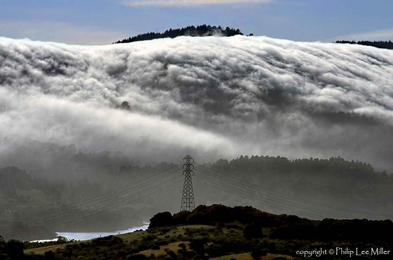
California Coastal Fog (explored)
sunset landscape trails d600 rockpaper stanforddishtrail californiaoaktrees
Closing Time
morning trees blackandwhite bw white mist black silhouette fog foggy bayarea onthewaytowork drivebyshooting bwdreams intooblivion reallyfoggy ysplix idisappear top20grey onlyhad5minutestogetsomequickshots cantresistfog sucksmein
folds of oblivion
california sculpture horse bluesky mountainview sgi silicongraphics drygrass deborahbutterfield bronzecasting driftwoodhorse
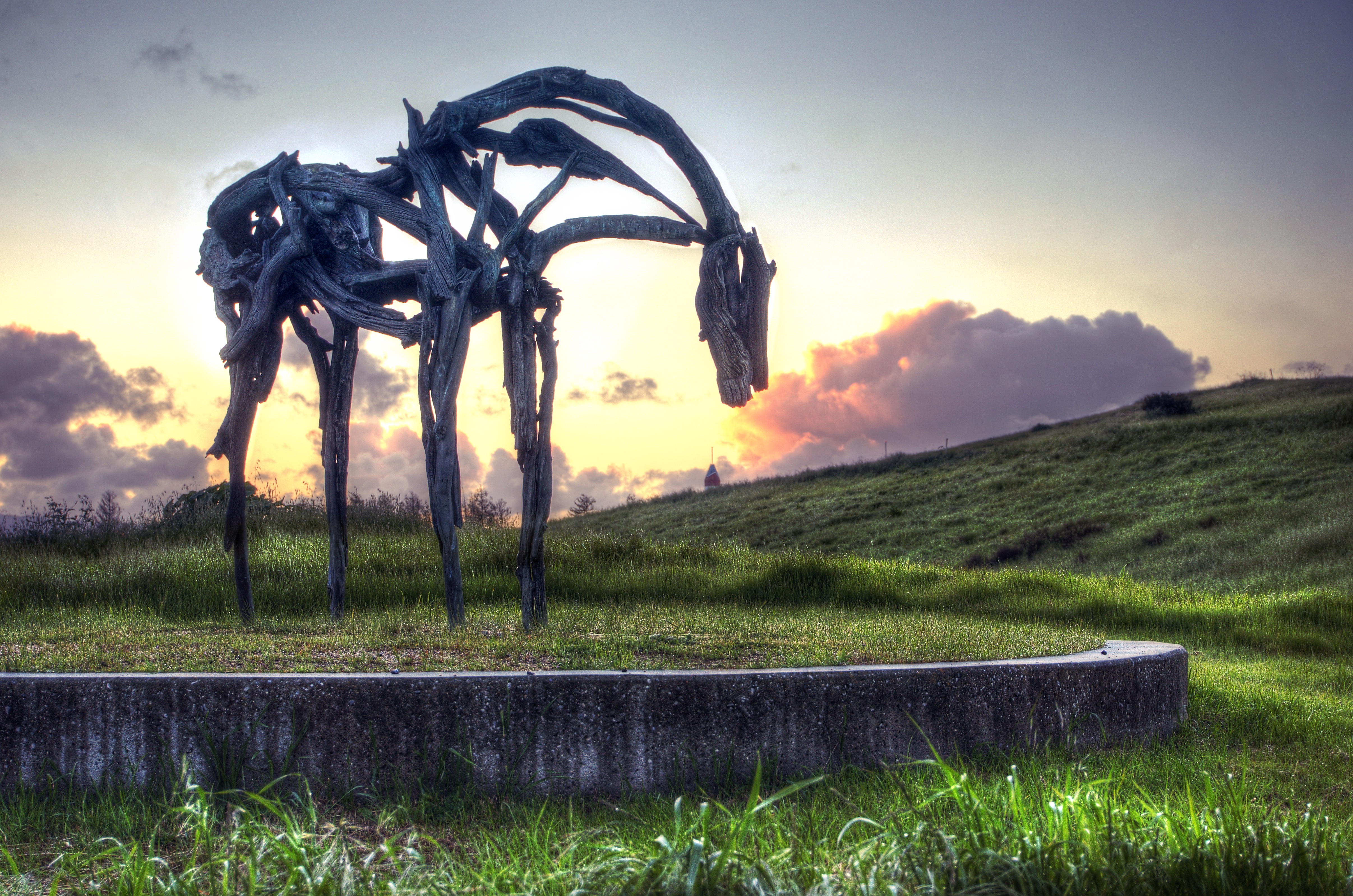
Bronze Horse by Deborah Butterfield
canadagoose honking
Canada Goose honking
california sunset nature grass fog landscape hdr rollinghills sanfranciscopeninsula windingroads californiaoaktrees magicunicornverybest topazdetail
Heavenly shades of night are falling, it's twilight time ...
california sunset nature grass landscape hdr rollinghills windingroads arastraderopreserve d7000 californiaoaktrees magicunicornverybest topazdetail galleryoffantasticshots
Heavenly Shades of Night are Falling -- Reprise
california trees nature grass clouds landscape trails sunsets hdr rollinghills fieldsofgold arastraderopreserve d7000 daarklands magicunicornmasterpiece topazdetail explored7000
Fields of Gold
california sunset nature grass landscape woodside legacy hdr rollinghills stormclouds hypothetical sanmateocounty windingroads d7000 californiaoaktrees topazdetail galleryoffantasticshots trueexcellence1
And the wind cries Mary
IMG_20170311_123526-PANO
california sunset nature grass landscape rollinghills blends d600 windingroads arastraderopreserve californiaoaktrees galleryoffantasticshots bestevercompetitiongroup
Home on the Farm
california sanmateo purisimacreek blackandwhite fog
Purisima Creek
california road trees grass afternoon dirt grasses grassland palo alto grasslands arastradero
Arastradero Pasture
instagramapp square squareformat iphoneography uploaded:by=instagram
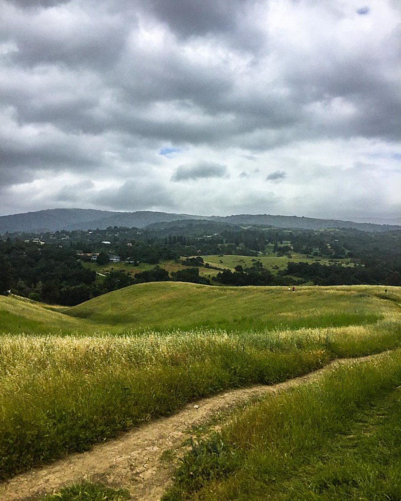
#hiking #california #nature
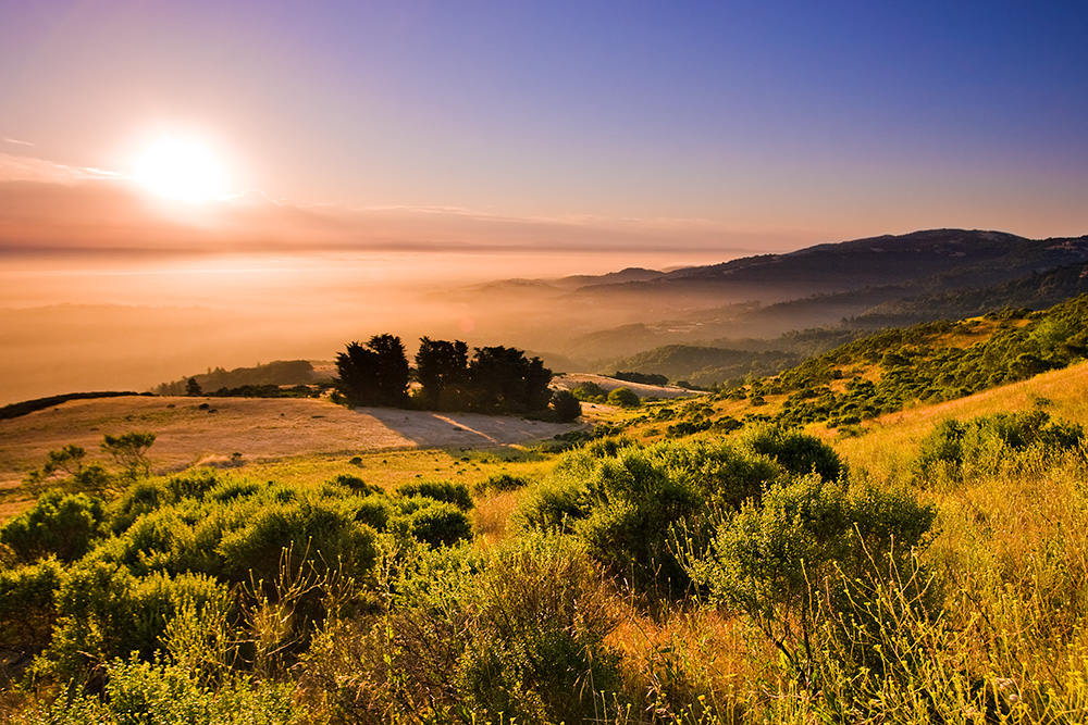
california skyline sunrise santacruzmountains windyhill gnd 3stophard 51386
Skyline Sunrise
california sunset nature grass landscape rollinghills oaktrees arastraderopreserve d7000 magicunicornverybest galleryoffantasticshots
Ghost Riders in the Sky
DSC00963.JPG
1235mm 2017 arastraderopreserve bw california em5 geotag hiking monochrome outdoor tree treescape
A Tree near Paseo del Roble Trail
paloalto cloud clouds nature potd sky
Palo Alto Baylands
House On A Hill
california nature grass landscape trails hdr rollinghills arastraderopreserve eucalyptustrees d7000 topazdetail rememberthatmomentlevel4 rememberthatmomentlevel1 rememberthatmomentlevel2 rememberthatmomentlevel3 rememberthatmomentlevel7 rememberthatmomentlevel5 rememberthatmomentlevel6
Gentle Afterglow
california sky grass clouds path trail bayarea april paloalto siliconvalley southbay arastradero arastraderopreserve
April Skies | Palo Alto
cañada road sunset california san mateo county frontage sanandreasfault nikon d800 nikond800 elmofoto lonetree widescreen hdr exposureblending tonemapping 1635mm gnd leefilters 3stop clouds sky dramatic gettyimages fav10 fav20 fav30 fav40 fav50 fav60 fav70 fav100 10000v
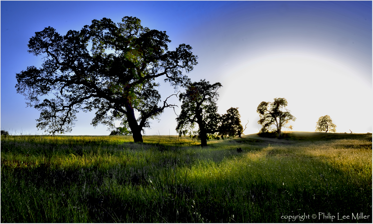
my favorite lone tree | cañada rd