Elevation of FM, Troup, TX, USA
Location: United States > Texas > Cherokee County > Troup >
Longitude: -95.0434472
Latitude: 32.0745909
Elevation: 129m / 423feet
Barometric Pressure: 0KPa
Related Photos:

More belly dancers for your viewing enjoyment. Also for your viewing enjoyment, I have cropped out the person holding the sword. This PERSON was also wearing a skirt. But not THAT kind of skirt.=)
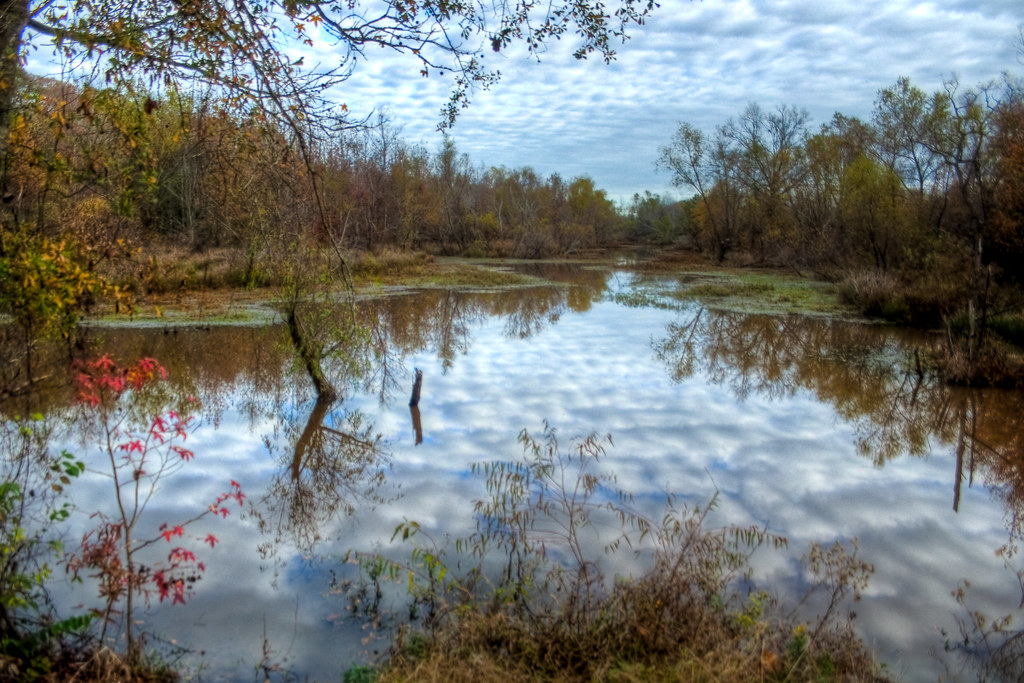
Yarbrough Swamp

Steele Feed & Seed
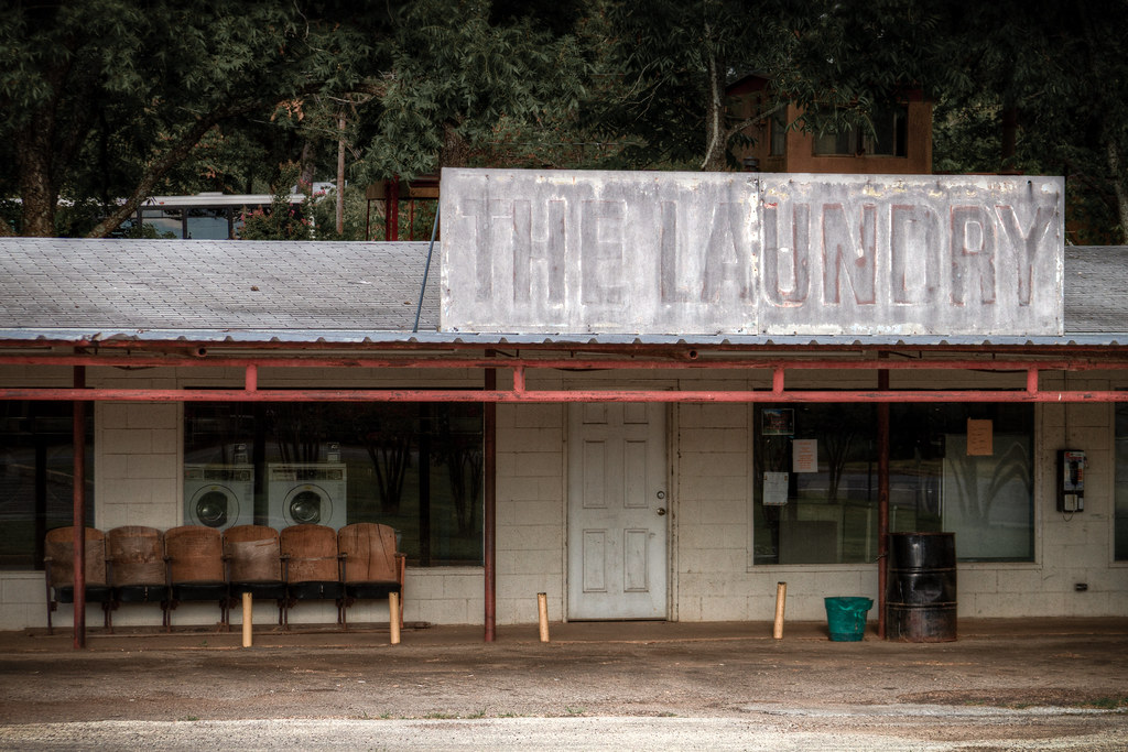
The Laundry

Swampy Sky

Morning Light on a Barn
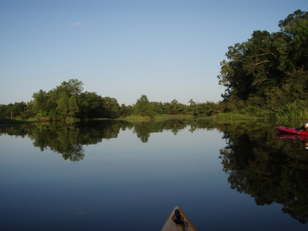
Striker Creek
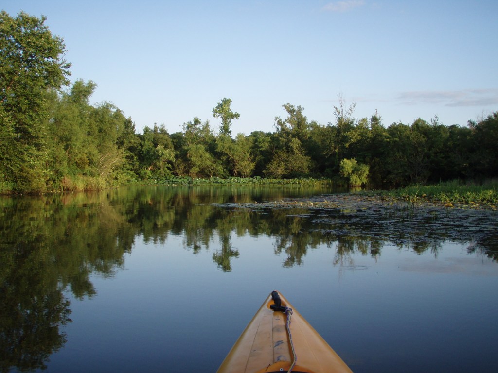
Striker Creek
Topographic Map of FM, Troup, TX, USA
Find elevation by address:

Places near FM, Troup, TX, USA:
FM, Troup, TX, USA
Co Rd, Henderson, TX, USA
US-79, Henderson, TX, USA
Troup
County Road 4223
FM, Troup, TX, USA
Price
Selman City
Farm To Market Road 345
21781 County Rd 294
Arp
FM, Troup, TX, USA
TX-64, Henderson, TX, USA
Pilot Dr, Tyler, TX, USA
TX-, Reklaw, TX, USA
New London
S Main St, Overton, TX, USA
9 Concession Rd
17723 Southpoint Rd
6300 Co Rd 1405
Recent Searches:
- Elevation of 2881, Chabot Drive, San Bruno, San Mateo County, California, 94066, USA
- Elevation of 10370, West 107th Circle, Westminster, Jefferson County, Colorado, 80021, USA
- Elevation of 611, Roman Road, Old Ford, Bow, London, England, E3 2RW, United Kingdom
- Elevation of 116, Beartown Road, Underhill, Chittenden County, Vermont, 05489, USA
- Elevation of Window Rock, Colfax County, New Mexico, 87714, USA
- Elevation of 4807, Rosecroft Street, Kempsville Gardens, Virginia Beach, Virginia, 23464, USA
- Elevation map of Matawinie, Quebec, Canada
- Elevation of Sainte-Émélie-de-l'Énergie, Matawinie, Quebec, Canada
- Elevation of Rue du Pont, Sainte-Émélie-de-l'Énergie, Matawinie, Quebec, J0K2K0, Canada
- Elevation of 8, Rue de Bécancour, Blainville, Thérèse-De Blainville, Quebec, J7B1N2, Canada
- Elevation of Wilmot Court North, 163, University Avenue West, Northdale, Waterloo, Region of Waterloo, Ontario, N2L6B6, Canada
- Elevation map of Panamá Province, Panama
- Elevation of Balboa, Panamá Province, Panama
- Elevation of San Miguel, Balboa, Panamá Province, Panama
- Elevation of Isla Gibraleón, San Miguel, Balboa, Panamá Province, Panama
- Elevation of 4655, Krischke Road, Schulenburg, Fayette County, Texas, 78956, USA
- Elevation of Carnegie Avenue, Downtown Cleveland, Cleveland, Cuyahoga County, Ohio, 44115, USA
- Elevation of Walhonding, Coshocton County, Ohio, USA
- Elevation of Clifton Down, Clifton, Bristol, City of Bristol, England, BS8 3HU, United Kingdom
- Elevation map of Auvergne-Rhône-Alpes, France