Elevation of FM Rd, Wharton, TX, USA
Location: United States > Texas > Wharton County > Wharton >
Longitude: -96.166568
Latitude: 29.3042999
Elevation: 32m / 105feet
Barometric Pressure: 101KPa
Elevation Map:
Satellite Map:
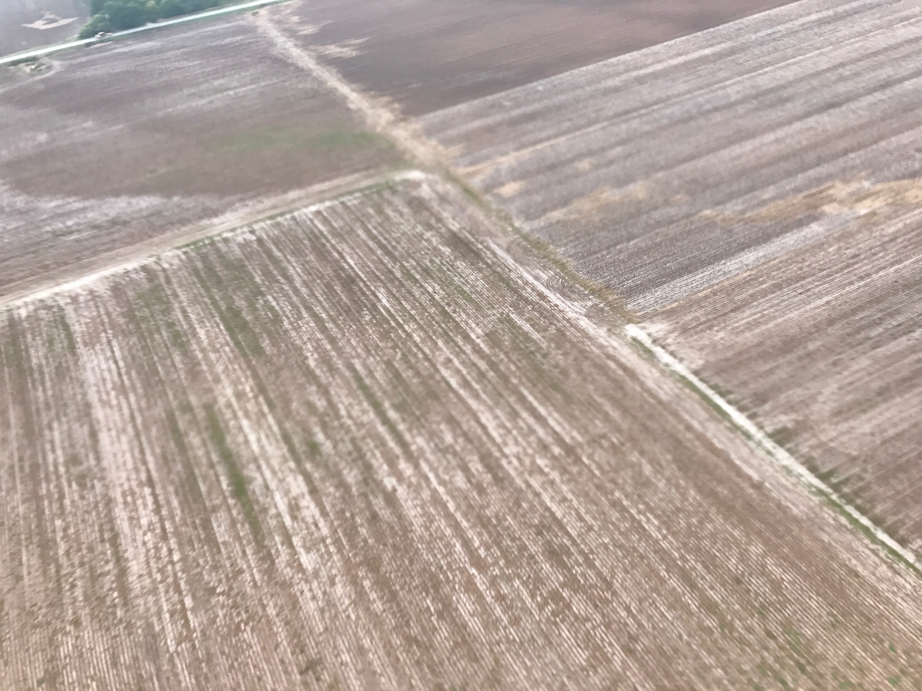
Related Photos:

"MEATS"
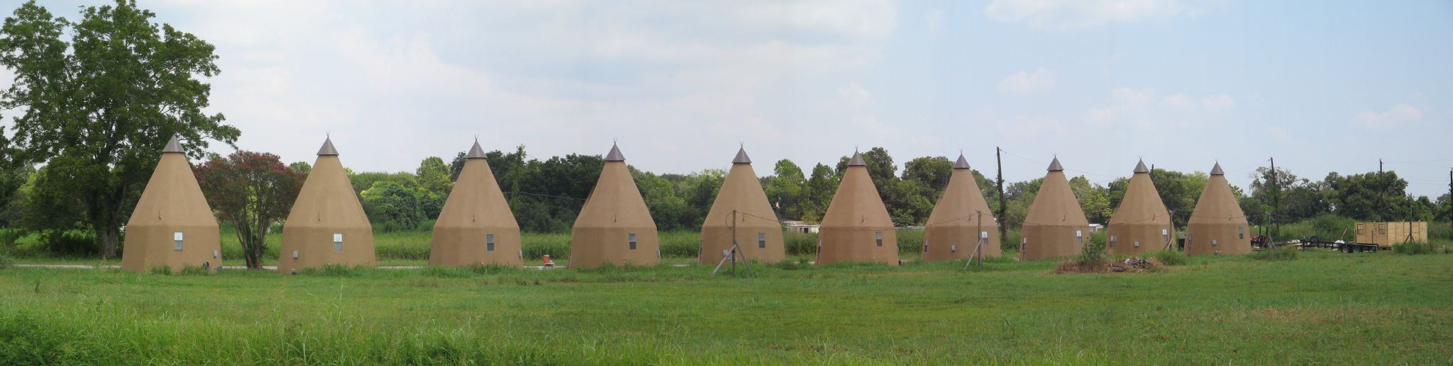
Line of Tee Pees

20170921-OSEC-LSC-0634
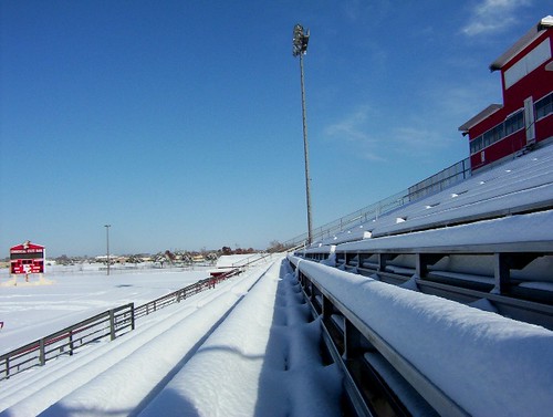
Ricebird Stadium
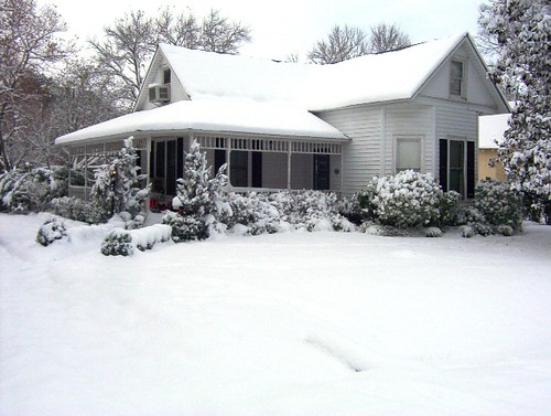
Our House
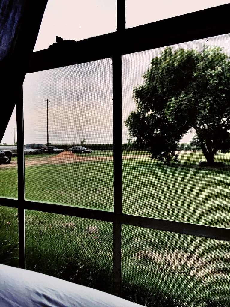
Views from the 364.

Cemetery and Abandoned Church

20170921-OSEC-LSC-0654

20170921-OSEC-LSC-0621
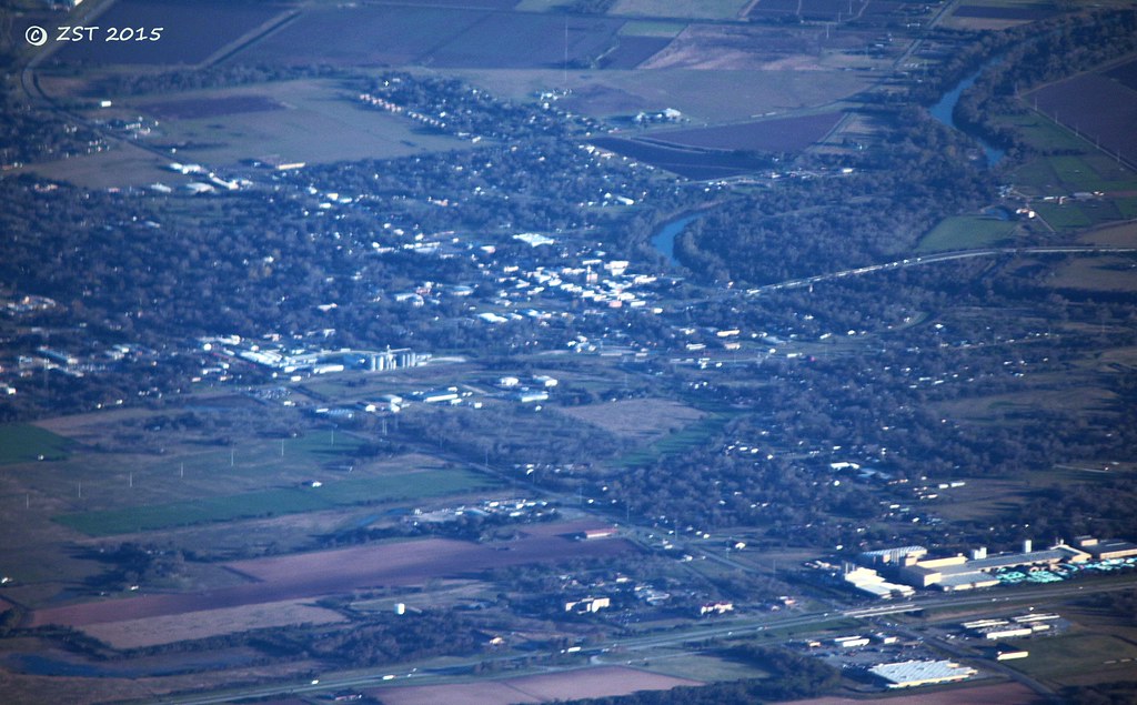
Wharton, TX

20170921-OSEC-LSC-0662

View from the Balcony
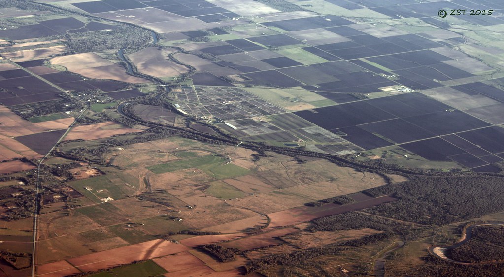
Glen Flora, TX

This is what we had before our houses, nothing special.
20170921-OSEC-LSC-0012
Topographic Map of FM Rd, Wharton, TX, USA
Find elevation by address:

Places near FM Rd, Wharton, TX, USA:
Crescent Lane
Carroll Rd, Wharton, TX, USA
719 Wilderness Trail
Forest Lawn Road
Glen Flora
212 S Ford St
314 W Burleson St
314 W Burleson St
Wharton
S Polk St, Wharton, TX, USA
143 W Burleson St
143 E Burleson St
412 N Fulton St
522 Davis St
522 Davis St
1103 Wisteria Way
1103 Wisteria Way
1103 Wisteria Way
1107 Wisteria Way
1107 Wisteria Way
Recent Searches:
- Elevation of Corso Fratelli Cairoli, 35, Macerata MC, Italy
- Elevation of Tallevast Rd, Sarasota, FL, USA
- Elevation of 4th St E, Sonoma, CA, USA
- Elevation of Black Hollow Rd, Pennsdale, PA, USA
- Elevation of Oakland Ave, Williamsport, PA, USA
- Elevation of Pedrógão Grande, Portugal
- Elevation of Klee Dr, Martinsburg, WV, USA
- Elevation of Via Roma, Pieranica CR, Italy
- Elevation of Tavkvetili Mountain, Georgia
- Elevation of Hartfords Bluff Cir, Mt Pleasant, SC, USA