Elevation of Carroll Rd, Wharton, TX, USA
Location: United States > Texas > Wharton County > Wharton >
Longitude: -96.148866
Latitude: 29.2697213
Elevation: 32m / 105feet
Barometric Pressure: 101KPa
Elevation Map:
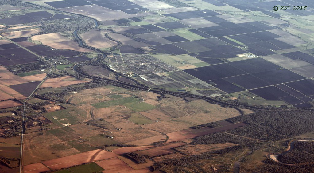
Satellite Map:
Related Photos:
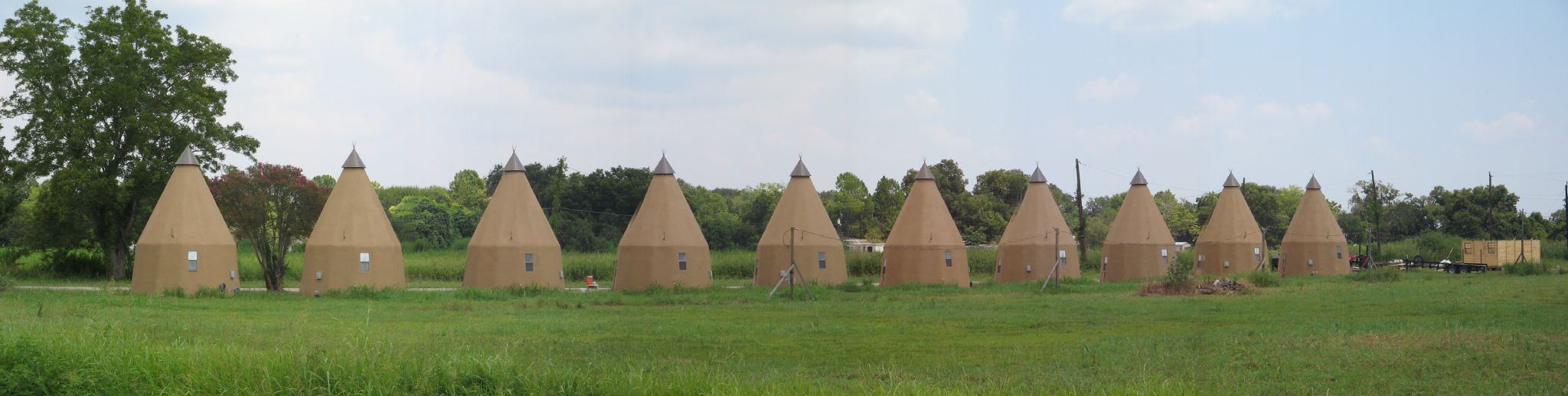
Line of Tee Pees

Cemetery and Abandoned Church

"MEATS"
Glen Flora, TX
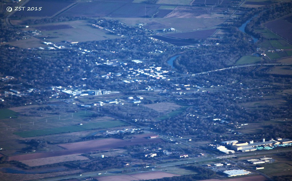
Wharton, TX

1948 Anglia Rear View
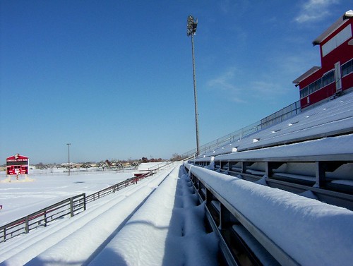
Ricebird Stadium
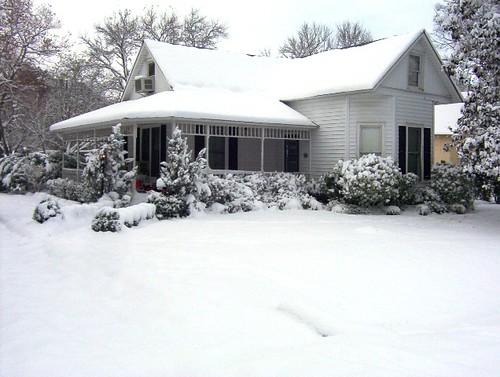
Our House
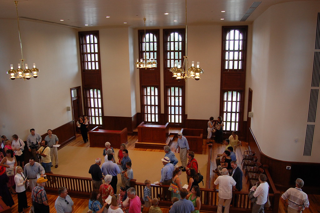
View from the Balcony

Round bales of hay near El Campo, Texas
Topographic Map of Carroll Rd, Wharton, TX, USA
Find elevation by address:

Places near Carroll Rd, Wharton, TX, USA:
719 Wilderness Trail
Forest Lawn Road
3688 Fm 961 Rd
Crescent Lane
212 S Ford St
314 W Burleson St
314 W Burleson St
143 W Burleson St
Wharton
S Polk St, Wharton, TX, USA
143 E Burleson St
1103 Wisteria Way
1103 Wisteria Way
1103 Wisteria Way
1107 Wisteria Way
1107 Wisteria Way
412 N Fulton St
522 Davis St
522 Davis St
2410 Garrett Ct
Recent Searches:
- Elevation of Corso Fratelli Cairoli, 35, Macerata MC, Italy
- Elevation of Tallevast Rd, Sarasota, FL, USA
- Elevation of 4th St E, Sonoma, CA, USA
- Elevation of Black Hollow Rd, Pennsdale, PA, USA
- Elevation of Oakland Ave, Williamsport, PA, USA
- Elevation of Pedrógão Grande, Portugal
- Elevation of Klee Dr, Martinsburg, WV, USA
- Elevation of Via Roma, Pieranica CR, Italy
- Elevation of Tavkvetili Mountain, Georgia
- Elevation of Hartfords Bluff Cir, Mt Pleasant, SC, USA