Elevation of FM, Pittsburg, TX, USA
Location: United States > Texas > Upshur County >
Longitude: -94.855835
Latitude: 32.898521
Elevation: 110m / 361feet
Barometric Pressure: 100KPa
Elevation Map:
Satellite Map:
Related Photos:
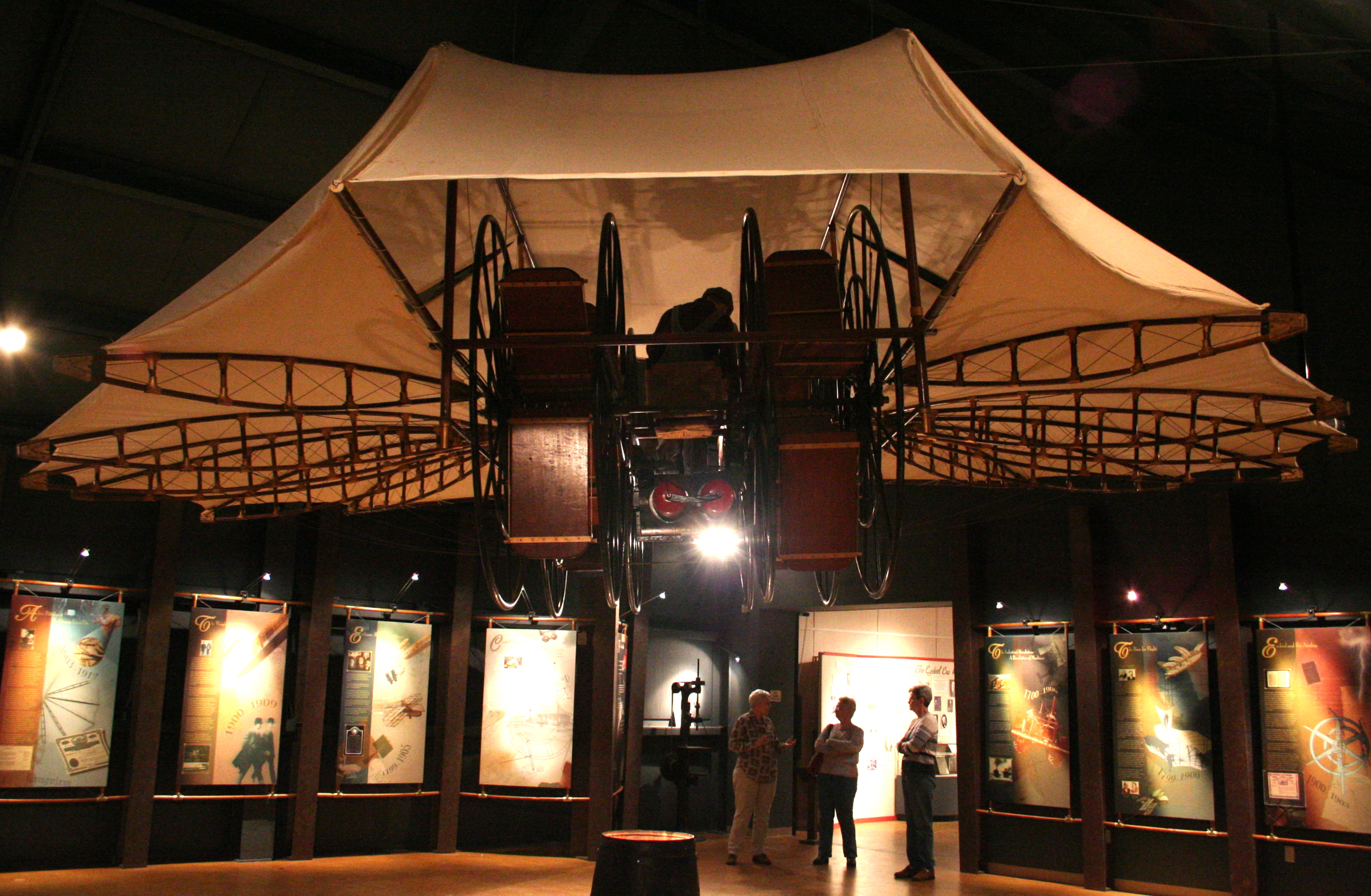
Rear View of Ezekiel Airship
A Reminder
high holy place of my youth

DSC_0701.jpg

DSC_0706.jpg
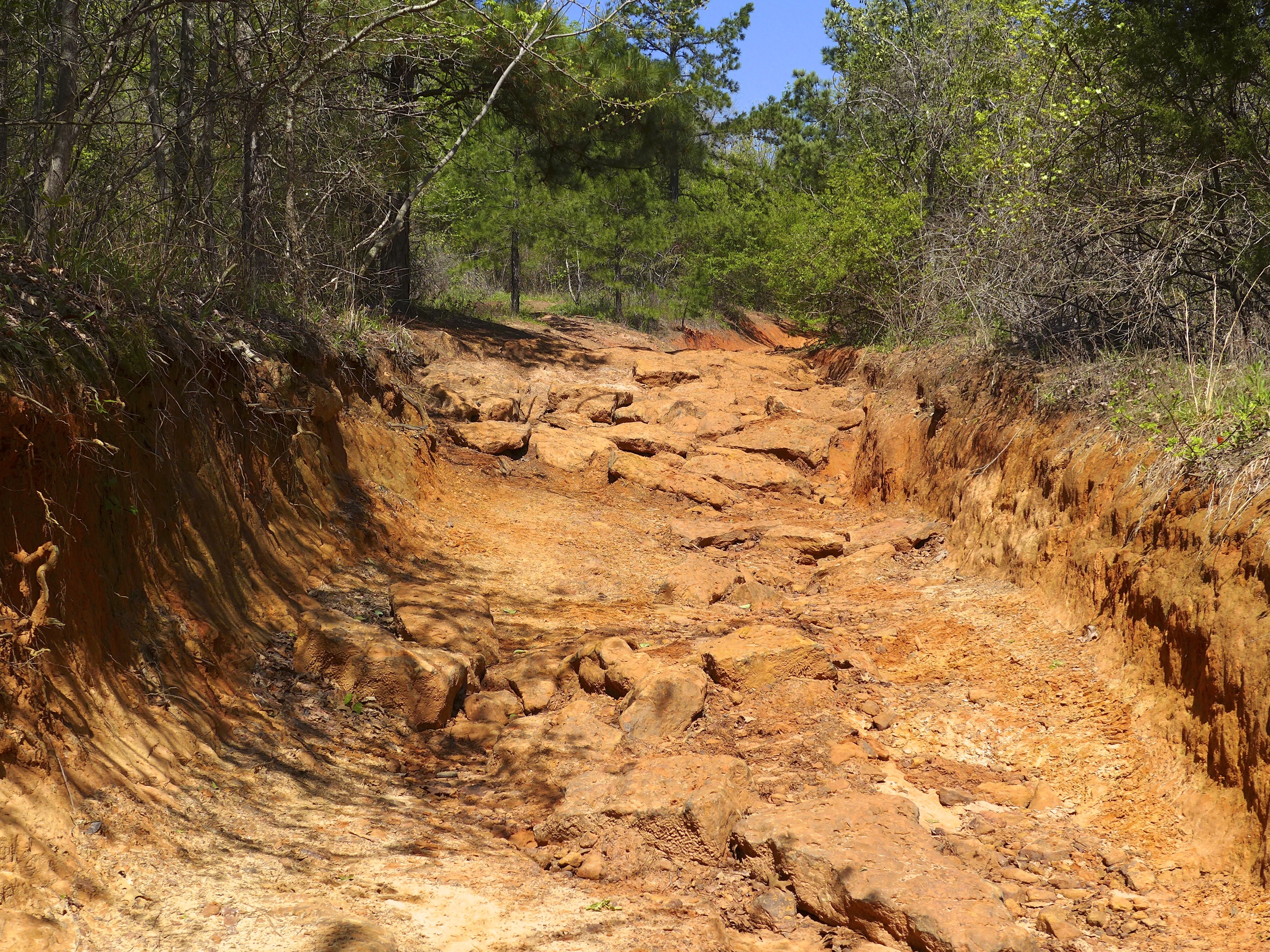
Barnwell mountain off road park
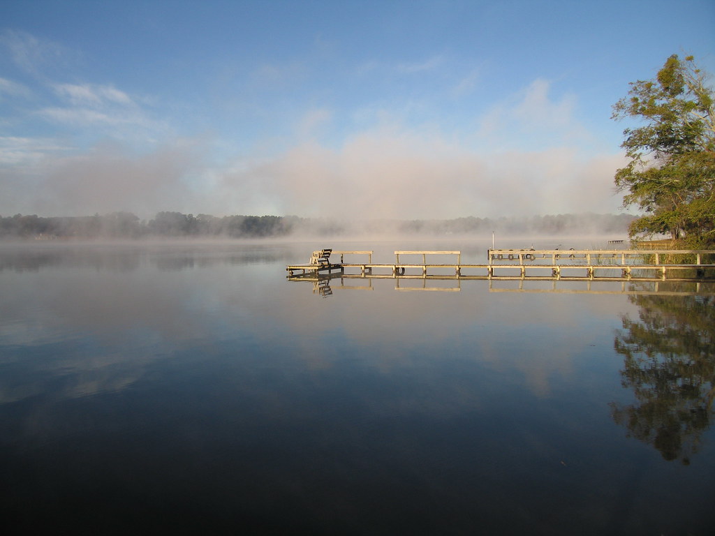
The Calm
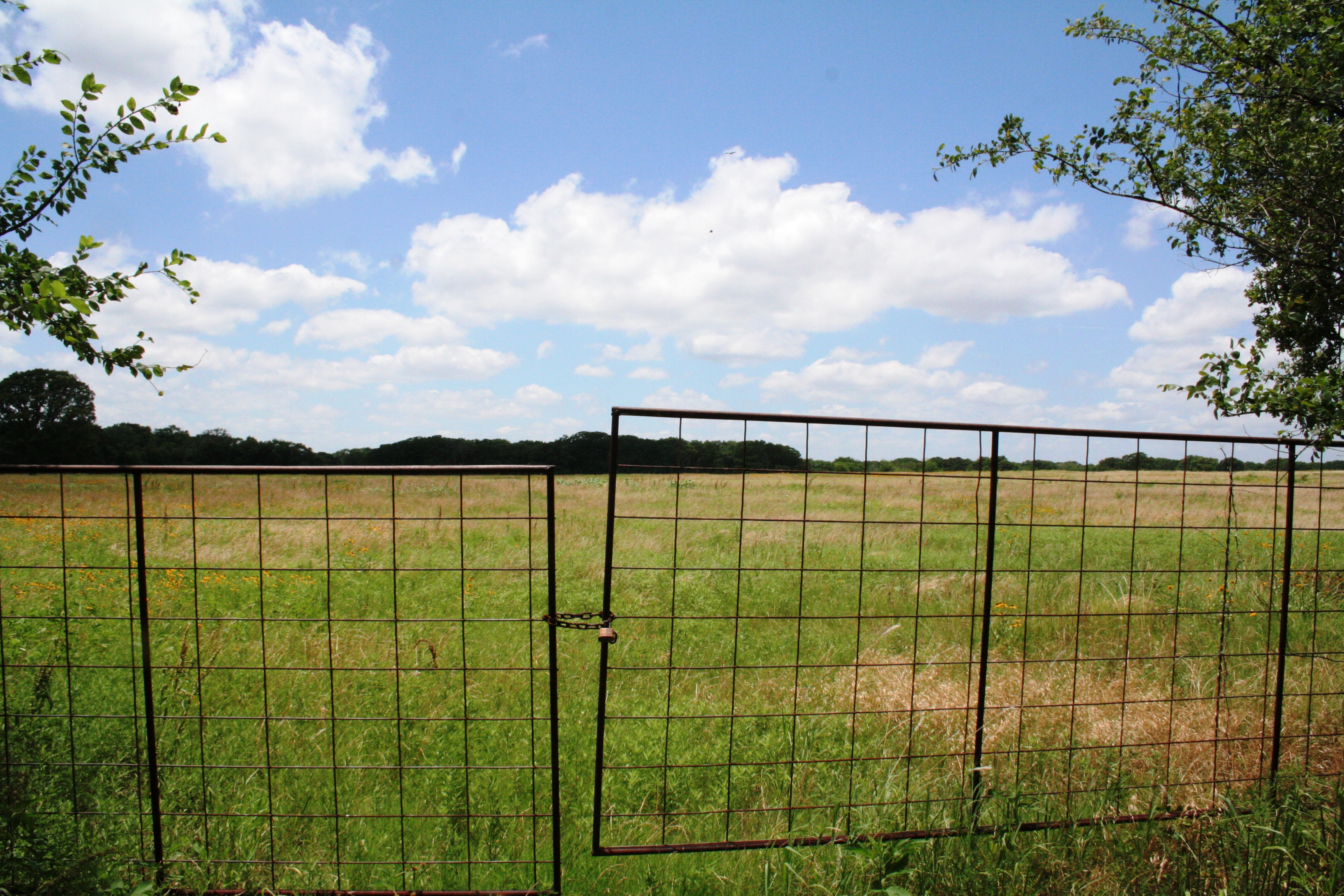
The Gate to Texas Sky

Cattle Pose

DSC_0593.jpg

DSC_0590.jpg

2013 LSJC Election Run
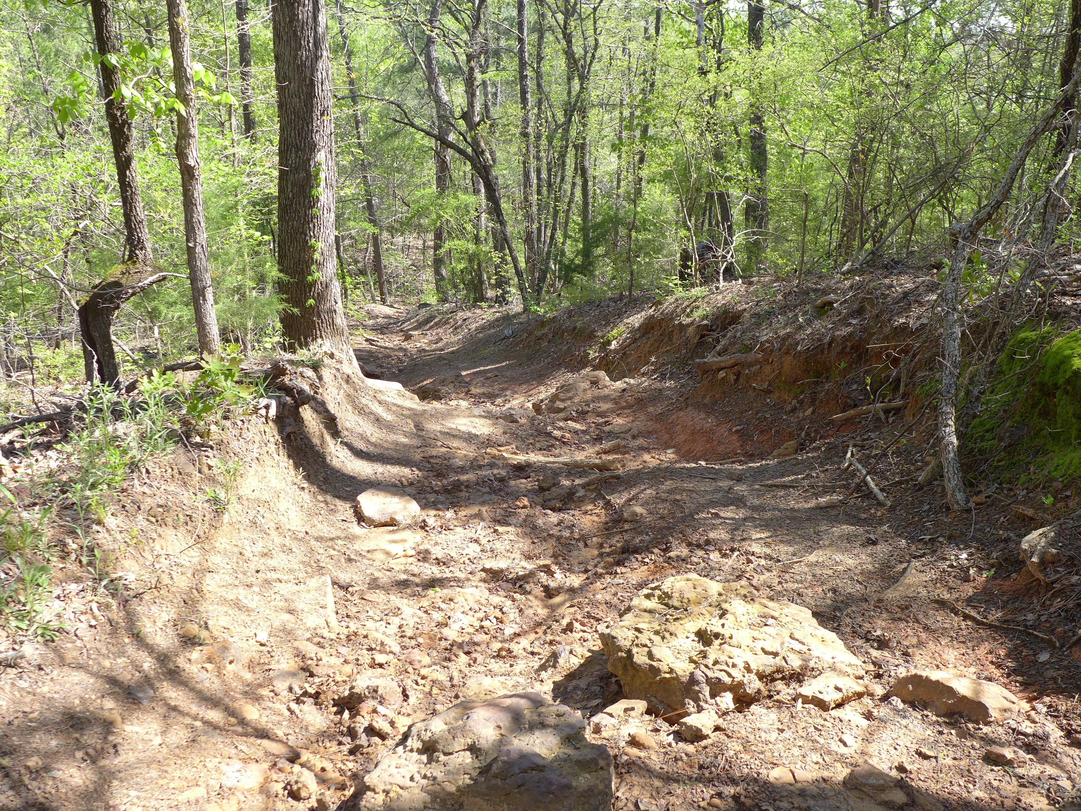
Barnwell mountain off road park
Topographic Map of FM, Pittsburg, TX, USA
Find elevation by address:

Places near FM, Pittsburg, TX, USA:
FM, Gilmer, TX, USA
4685 Fm 2254
FM, Gilmer, TX, USA
Dahlia Rd, Gilmer, TX, USA
FM, Pittsburg, TX, USA
3150 Bluebell Rd
728 Co Rd 2215
Pittsburg
Camp County
FM, Pittsburg, TX, USA
Fannin St, Lone Star, TX, USA
Daingerfield, TX, USA
US-, Daingerfield, TX, USA
FM, Pittsburg, TX, USA
Ore City
US-, Ore City, TX, USA
690 Lazy Daisy Rd
FM, Cookville, TX, USA
Daingerfield
Gilmer
Recent Searches:
- Elevation of Corso Fratelli Cairoli, 35, Macerata MC, Italy
- Elevation of Tallevast Rd, Sarasota, FL, USA
- Elevation of 4th St E, Sonoma, CA, USA
- Elevation of Black Hollow Rd, Pennsdale, PA, USA
- Elevation of Oakland Ave, Williamsport, PA, USA
- Elevation of Pedrógão Grande, Portugal
- Elevation of Klee Dr, Martinsburg, WV, USA
- Elevation of Via Roma, Pieranica CR, Italy
- Elevation of Tavkvetili Mountain, Georgia
- Elevation of Hartfords Bluff Cir, Mt Pleasant, SC, USA