Elevation of FM, Bigfoot, TX, USA
Location: United States > Texas > Frio County >
Longitude: -98.866043
Latitude: 29.0548816
Elevation: 192m / 630feet
Barometric Pressure: 99KPa
Elevation Map:
Satellite Map:
Related Photos:

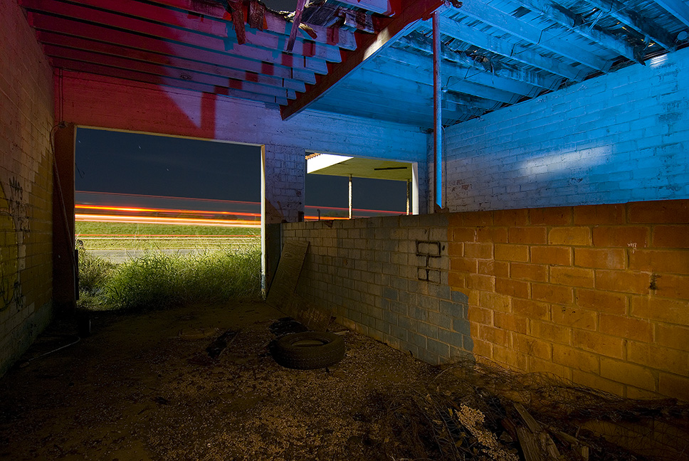
Still Safe
Two Bays, No Waiting

Moore Gulf Station
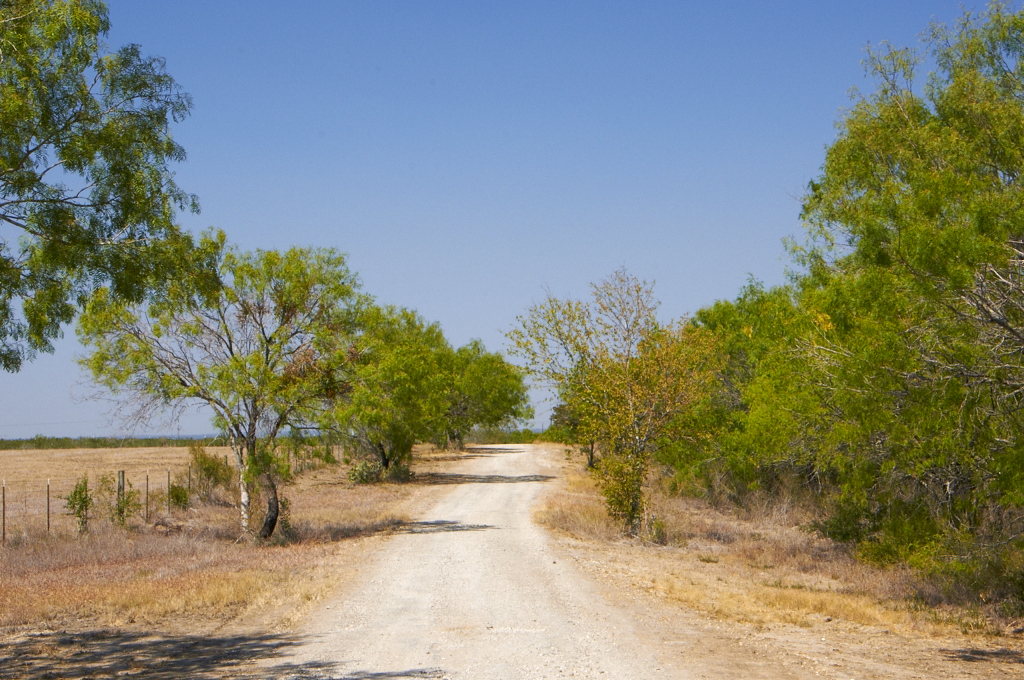
Country Road in South Texas

Big Oak Ranch
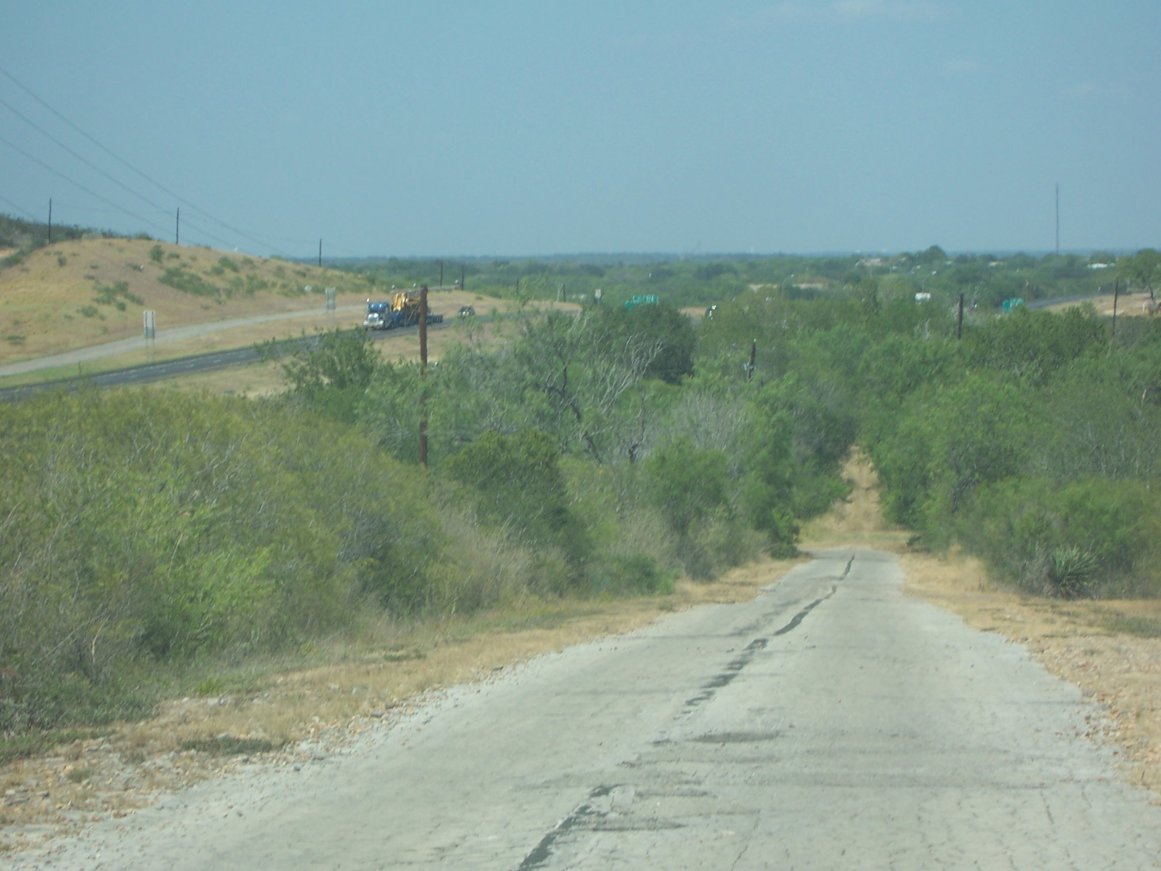
Old 81/ Texas State Hwy 2 South of Moore, TX

Quite a piece of land
Valley Sanchez

Bluebonnets & Indian Paintbrush near Natalia, Texas - April 2001

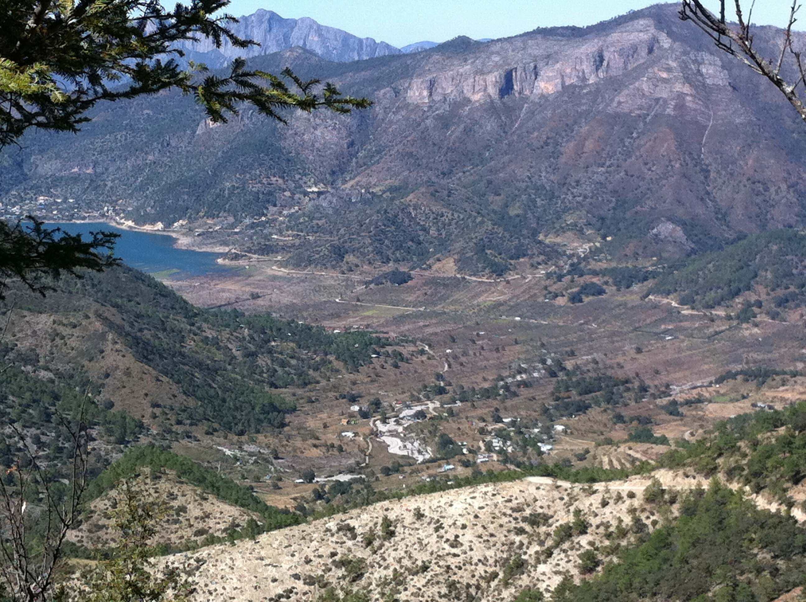
Laguna Sanchez

That's me way over there!

Bluebonnet Field...2015

scout2-3
Topographic Map of FM, Bigfoot, TX, USA
Find elevation by address:

Places near FM, Bigfoot, TX, USA:
Bigfoot
Pr 2881
Ih 35 N, Devine, TX, USA
Devine
Brown Rd, Poteet, TX, USA
Natalia
Moore
Benton City Rd & Meadow Brook
Lytle
Benton City Rd & Box House Rd
17851 Wisdom Rd
FM, Jourdanton, TX, USA
Atascosa
Charlotte
30 Edwards Ave, Charlotte, TX, USA
10494 Fowler Rd
10494 Fowler Rd
10494 Fowler Rd
10494 Fowler Rd
D Hanis Ave, La Coste, TX, USA
Recent Searches:
- Elevation of Corso Fratelli Cairoli, 35, Macerata MC, Italy
- Elevation of Tallevast Rd, Sarasota, FL, USA
- Elevation of 4th St E, Sonoma, CA, USA
- Elevation of Black Hollow Rd, Pennsdale, PA, USA
- Elevation of Oakland Ave, Williamsport, PA, USA
- Elevation of Pedrógão Grande, Portugal
- Elevation of Klee Dr, Martinsburg, WV, USA
- Elevation of Via Roma, Pieranica CR, Italy
- Elevation of Tavkvetili Mountain, Georgia
- Elevation of Hartfords Bluff Cir, Mt Pleasant, SC, USA