Elevation of Bigfoot, TX, USA
Location: United States > Texas > Frio County >
Longitude: -98.866693
Latitude: 29.0469112
Elevation: 198m / 650feet
Barometric Pressure: 99KPa
Elevation Map:
Satellite Map:
Related Photos:

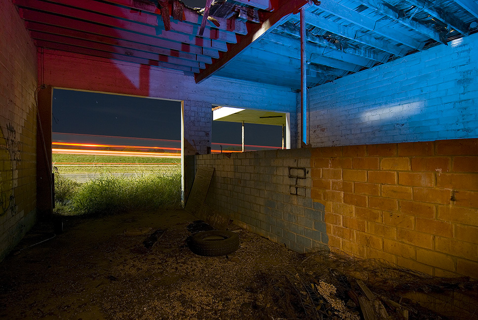
Still Safe
Two Bays, No Waiting

Moore Gulf Station
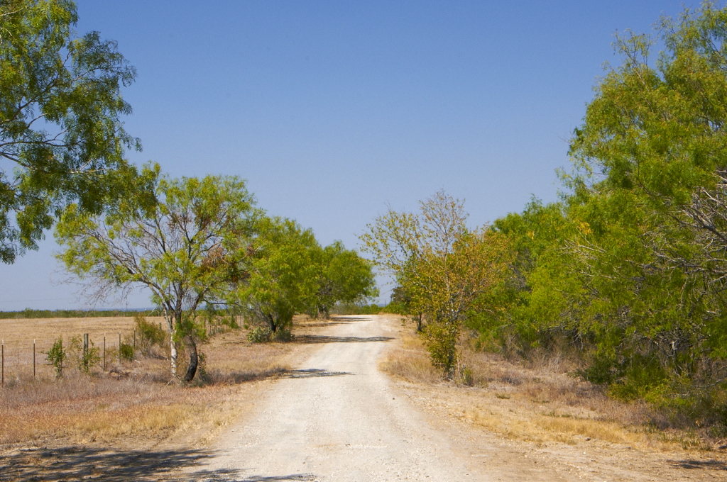
Country Road in South Texas

Big Oak Ranch
Devine, TX
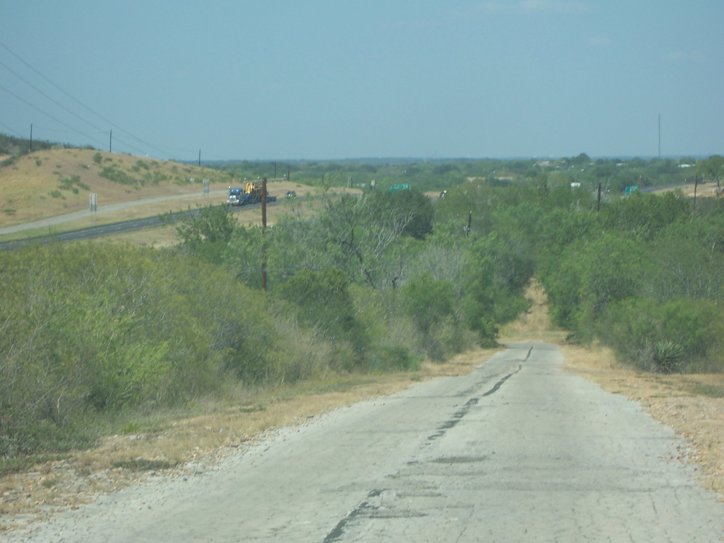
Old 81/ Texas State Hwy 2 South of Moore, TX
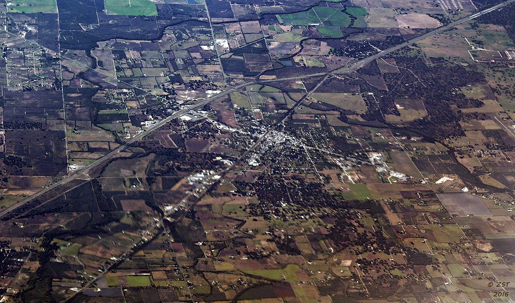
Quite a piece of land

Laguna Sanchez

That's me way over there!

Bluebonnet Field...2015

scout2-3
Topographic Map of Bigfoot, TX, USA
Find elevation by address:

Places in Bigfoot, TX, USA:
Places near Bigfoot, TX, USA:
FM, Bigfoot, TX, USA
Pr 2881
Ih 35 N, Devine, TX, USA
Devine
Brown Rd, Poteet, TX, USA
Natalia
Moore
Benton City Rd & Meadow Brook
Lytle
Benton City Rd & Box House Rd
17851 Wisdom Rd
FM, Jourdanton, TX, USA
Charlotte
30 Edwards Ave, Charlotte, TX, USA
Atascosa
10494 Fowler Rd
10494 Fowler Rd
10494 Fowler Rd
10494 Fowler Rd
Pearsall High School
Recent Searches:
- Elevation of Corso Fratelli Cairoli, 35, Macerata MC, Italy
- Elevation of Tallevast Rd, Sarasota, FL, USA
- Elevation of 4th St E, Sonoma, CA, USA
- Elevation of Black Hollow Rd, Pennsdale, PA, USA
- Elevation of Oakland Ave, Williamsport, PA, USA
- Elevation of Pedrógão Grande, Portugal
- Elevation of Klee Dr, Martinsburg, WV, USA
- Elevation of Via Roma, Pieranica CR, Italy
- Elevation of Tavkvetili Mountain, Georgia
- Elevation of Hartfords Bluff Cir, Mt Pleasant, SC, USA