Elevation of FM 79, Sumner, TX, USA
Location: United States > Texas > Lamar County > Sumner >
Longitude: -95.710855
Latitude: 33.7461005
Elevation: 175m / 574feet
Barometric Pressure: 99KPa
Elevation Map:
Satellite Map:
Related Photos:
PC130458
PC130459
PC130461
PC130462
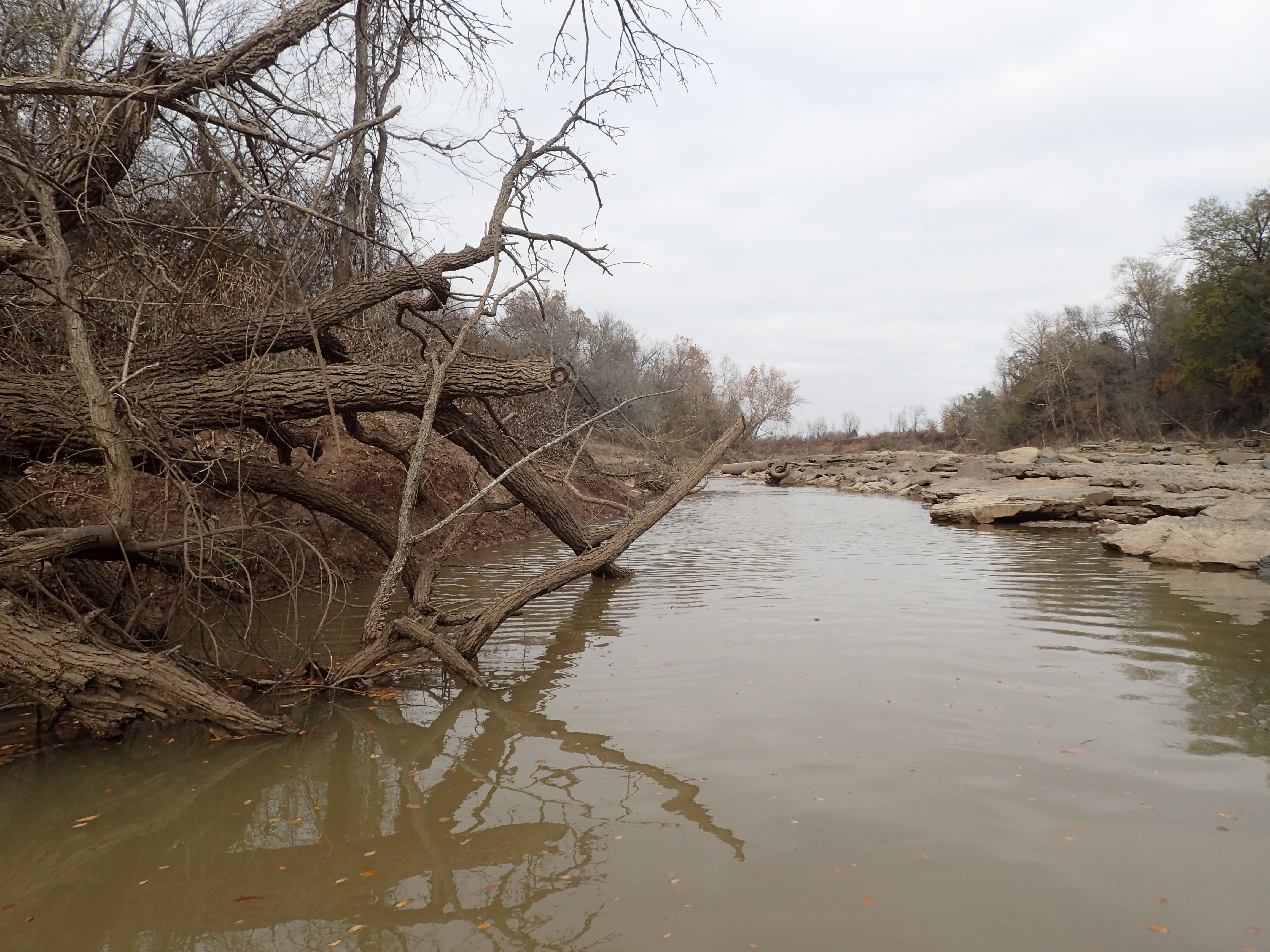
PC130464
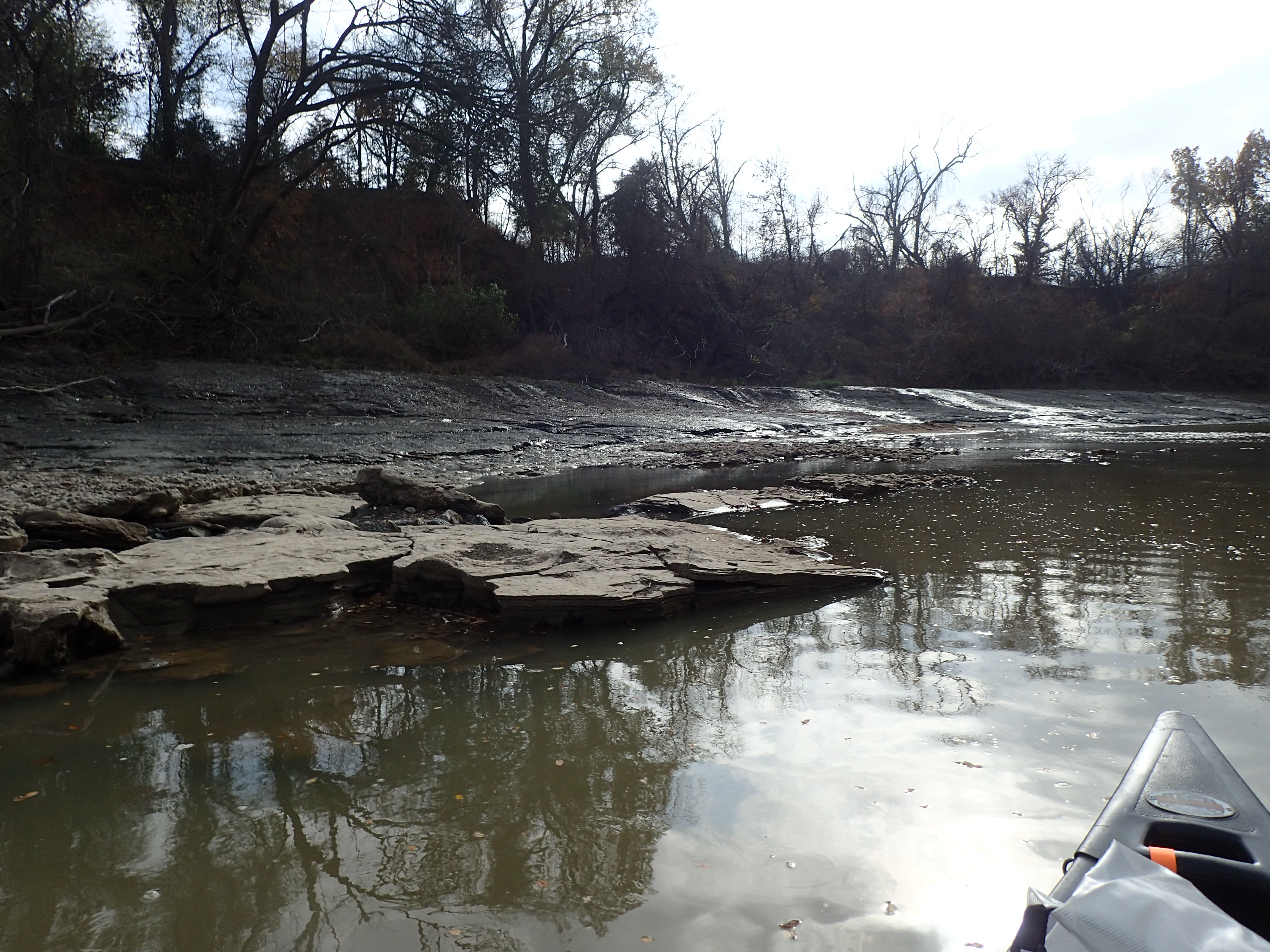
PC130471
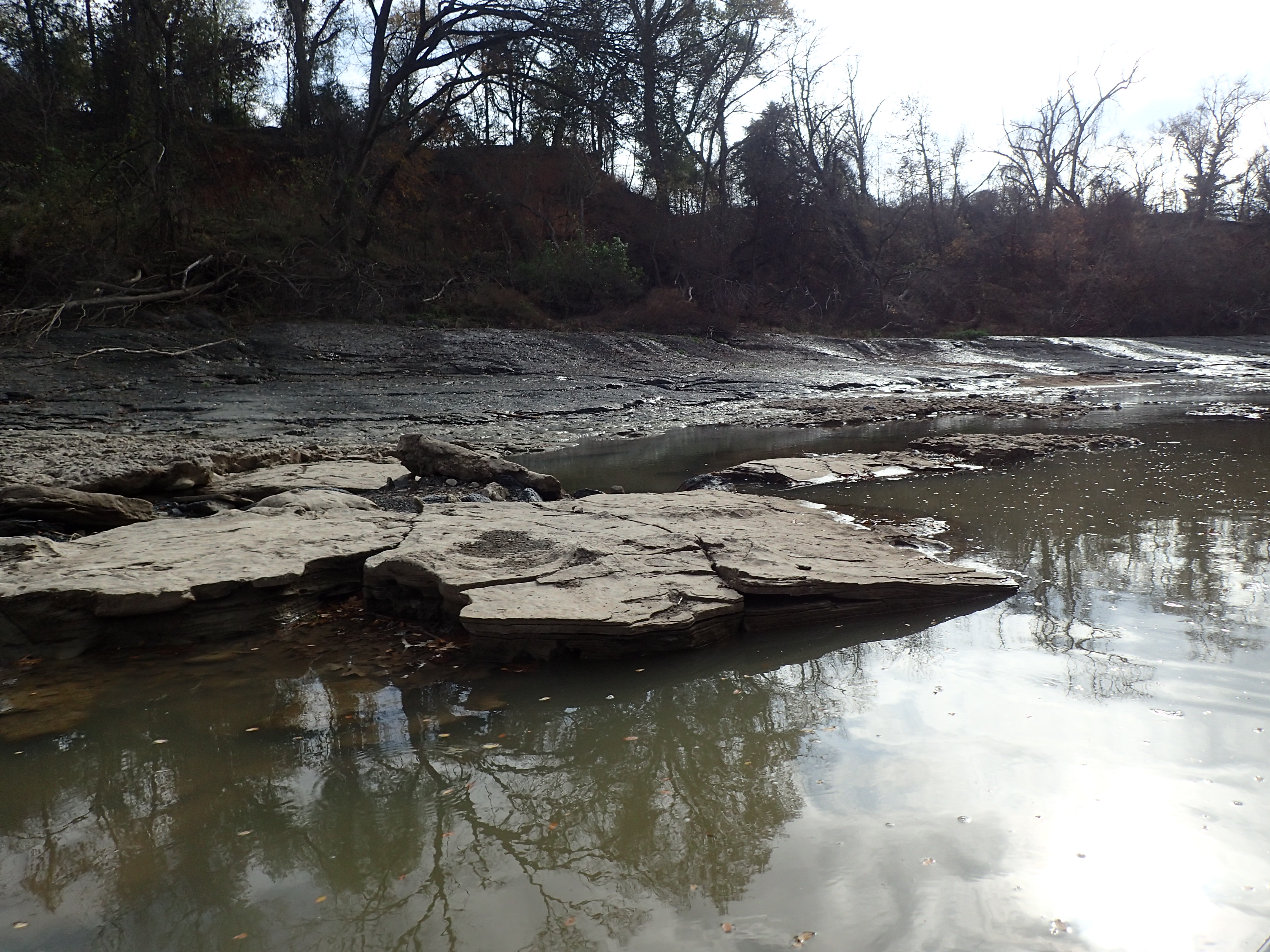
PC130472

Rusting Blue

Flying Nowhere

June 21, 2015 at 02:53PM
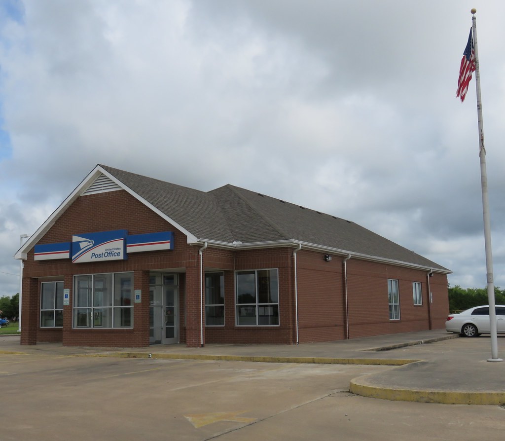
Post Office 75486 (Sumner, Texas)

Post Office 75421 (Brookston, Texas)

#KRR #kiamichi ex- #TNER Paris, TX
Topographic Map of FM 79, Sumner, TX, USA
Find elevation by address:

Places near FM 79, Sumner, TX, USA:
Sumner
FM, Roxton, TX, USA
540 County Rd 23200
540 County Rd 23200
540 County Rd 23200
540 County Rd 23200
Roxton
FM, Paris, TX, USA
Honey Grove
FM, Honey Grove, TX, USA
424 Co Rd 2750
424 Co Rd 2750
Ben Franklin
4212 Co Rd 2700
FM, Honey Grove, TX, USA
FM, Lake Creek, TX, USA
F R, Ben Franklin, TX, USA
Co Rd, Telephone, TX, USA
Pecan Gap
FM, Ladonia, TX, USA
Recent Searches:
- Elevation of Corso Fratelli Cairoli, 35, Macerata MC, Italy
- Elevation of Tallevast Rd, Sarasota, FL, USA
- Elevation of 4th St E, Sonoma, CA, USA
- Elevation of Black Hollow Rd, Pennsdale, PA, USA
- Elevation of Oakland Ave, Williamsport, PA, USA
- Elevation of Pedrógão Grande, Portugal
- Elevation of Klee Dr, Martinsburg, WV, USA
- Elevation of Via Roma, Pieranica CR, Italy
- Elevation of Tavkvetili Mountain, Georgia
- Elevation of Hartfords Bluff Cir, Mt Pleasant, SC, USA