Elevation of Co Rd, Honey Grove, TX, USA
Location: United States > Texas > Fannin County > Honey Grove >
Longitude: -95.953889
Latitude: 33.6462887
Elevation: 191m / 627feet
Barometric Pressure: 99KPa
Elevation Map:
Satellite Map:
Related Photos:

Honey Grove TX Gross-Dial House side view
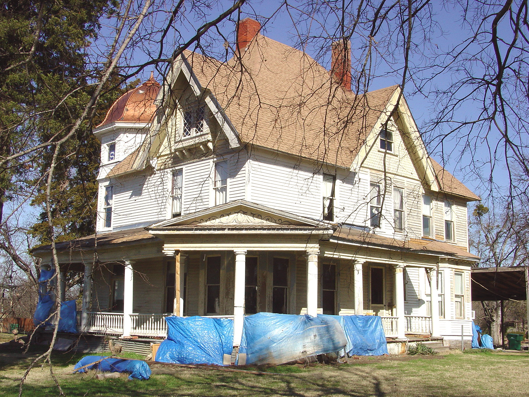
Honey Grove TX George Barber Queen Anne side view

Honey Grove TX c.1890 Gross-Dial Queen Anne
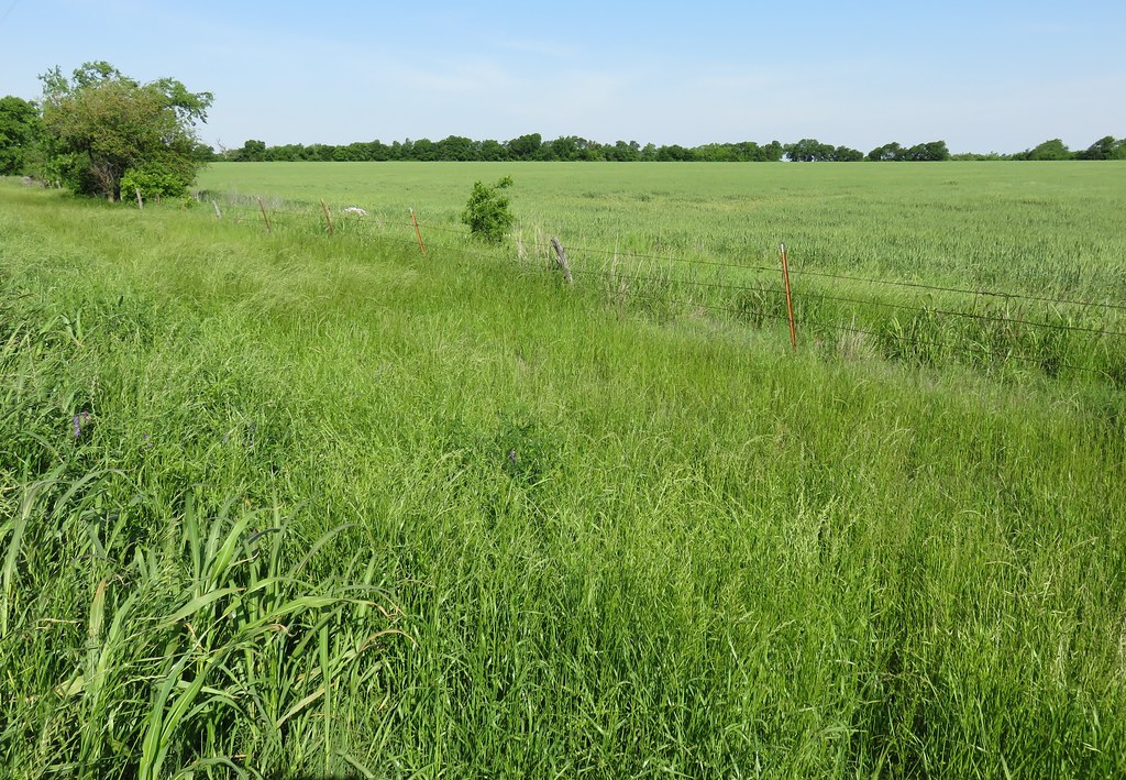
North Texas Landscape (Fannin County, Texas)

Sash - Lake Crockett
North Texas Landscape (Fannin County, Texas)
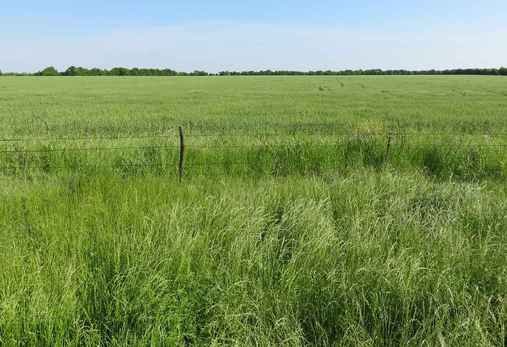
North Texas Landscape (Fannin County, Texas)
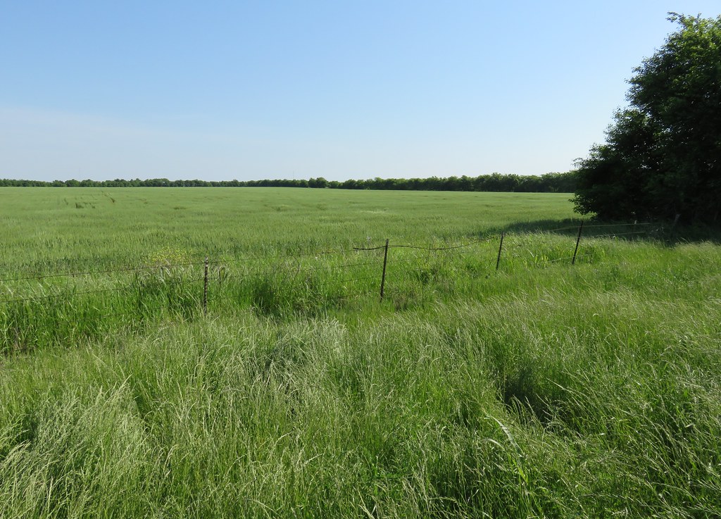
North Texas Landscape (Fannin County, Texas)
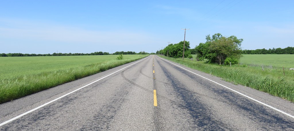
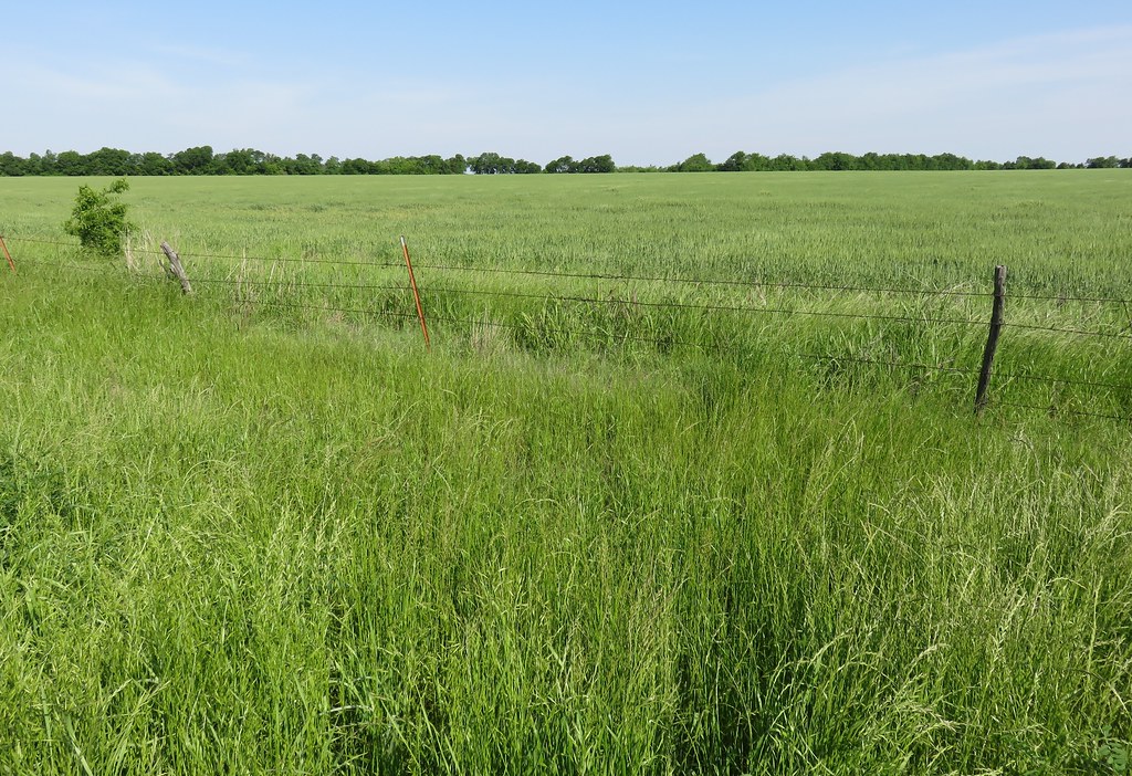
North Texas Landscape (Fannin County, Texas)

North Texas Landscape (Fannin County, Texas)
Topographic Map of Co Rd, Honey Grove, TX, USA
Find elevation by address:

Places near Co Rd, Honey Grove, TX, USA:
424 Co Rd 2750
4212 Co Rd 2700
Honey Grove
Co Rd, Telephone, TX, USA
Cr, Telephone, TX, USA
Co Rd, Dodd City, TX, USA
Co Rd, Ivanhoe, TX, USA
959 Co Rd 2620
Pr, Ladonia, TX, USA
FM, Ladonia, TX, USA
FM, Honey Grove, TX, USA
Co Rd, Windom, TX, USA
S Fm, Bonham, TX, USA
E Fm, Ladonia, TX, USA
FM, Ladonia, TX, USA
FM, Honey Grove, TX, USA
Ivanhoe
FM, Ladonia, TX, USA
FM, Roxton, TX, USA
130 Carpenter Loop
Recent Searches:
- Elevation of Corso Fratelli Cairoli, 35, Macerata MC, Italy
- Elevation of Tallevast Rd, Sarasota, FL, USA
- Elevation of 4th St E, Sonoma, CA, USA
- Elevation of Black Hollow Rd, Pennsdale, PA, USA
- Elevation of Oakland Ave, Williamsport, PA, USA
- Elevation of Pedrógão Grande, Portugal
- Elevation of Klee Dr, Martinsburg, WV, USA
- Elevation of Via Roma, Pieranica CR, Italy
- Elevation of Tavkvetili Mountain, Georgia
- Elevation of Hartfords Bluff Cir, Mt Pleasant, SC, USA