Elevation of Florida, FL-, Florida, USA
Location: United States > Florida > St. Johns County > Elkton >
Longitude: -81.460380
Latitude: 29.7628742
Elevation: 14m / 46feet
Barometric Pressure: 101KPa
Elevation Map:
Satellite Map:
Related Photos:
ramp color

Relaxing on the Children's Porch
To Federal Point
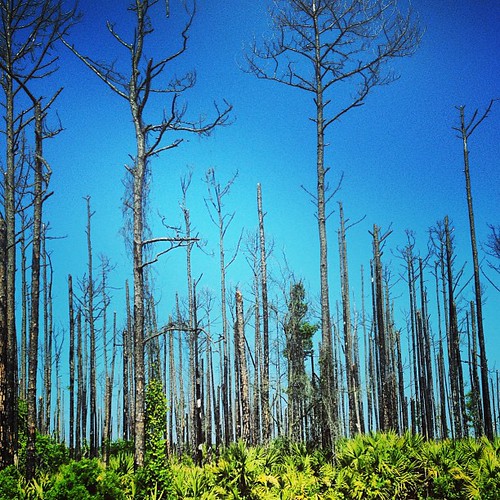
Love these #trees against the #blue #sky. #roadtrip

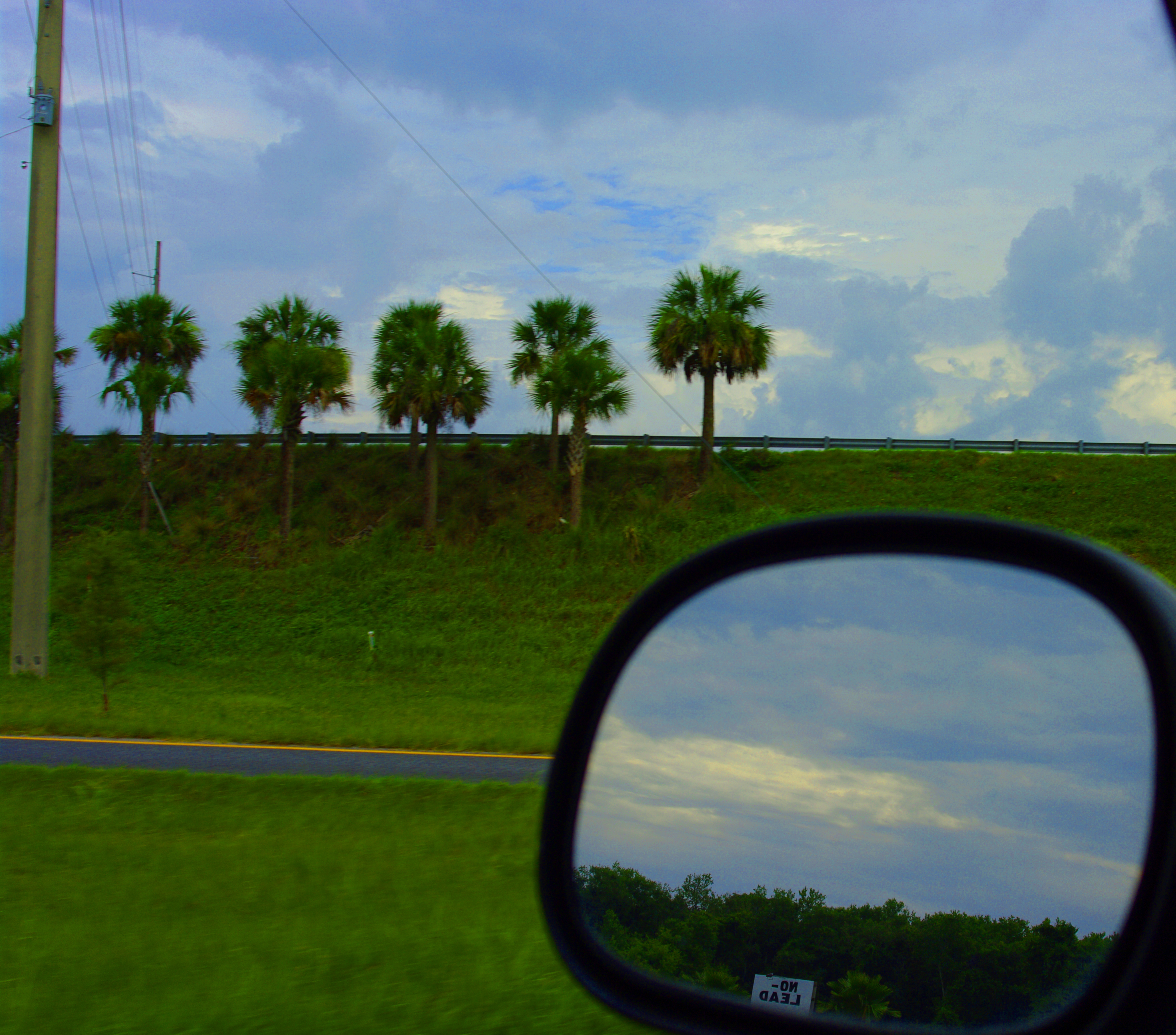
@seth22h remember this spot?

Farm with Palm Trees
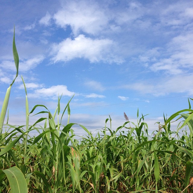
Corn for days and daze. #igersjax #sykesfarm #cornmaze #nofilter
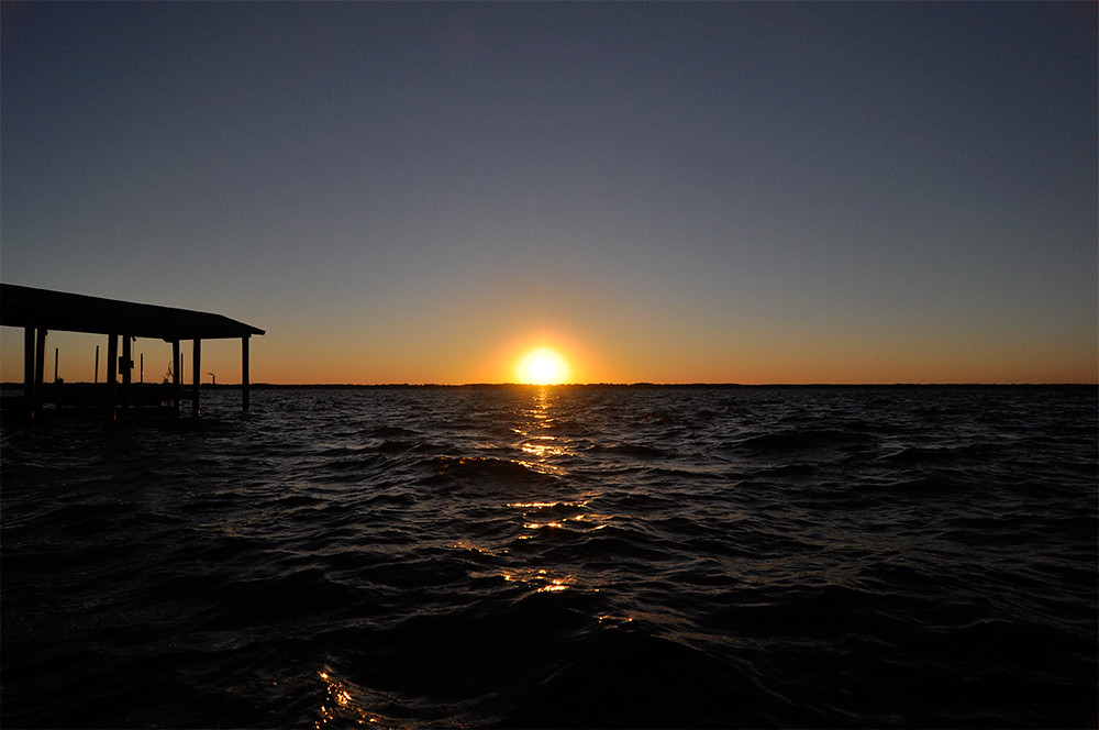
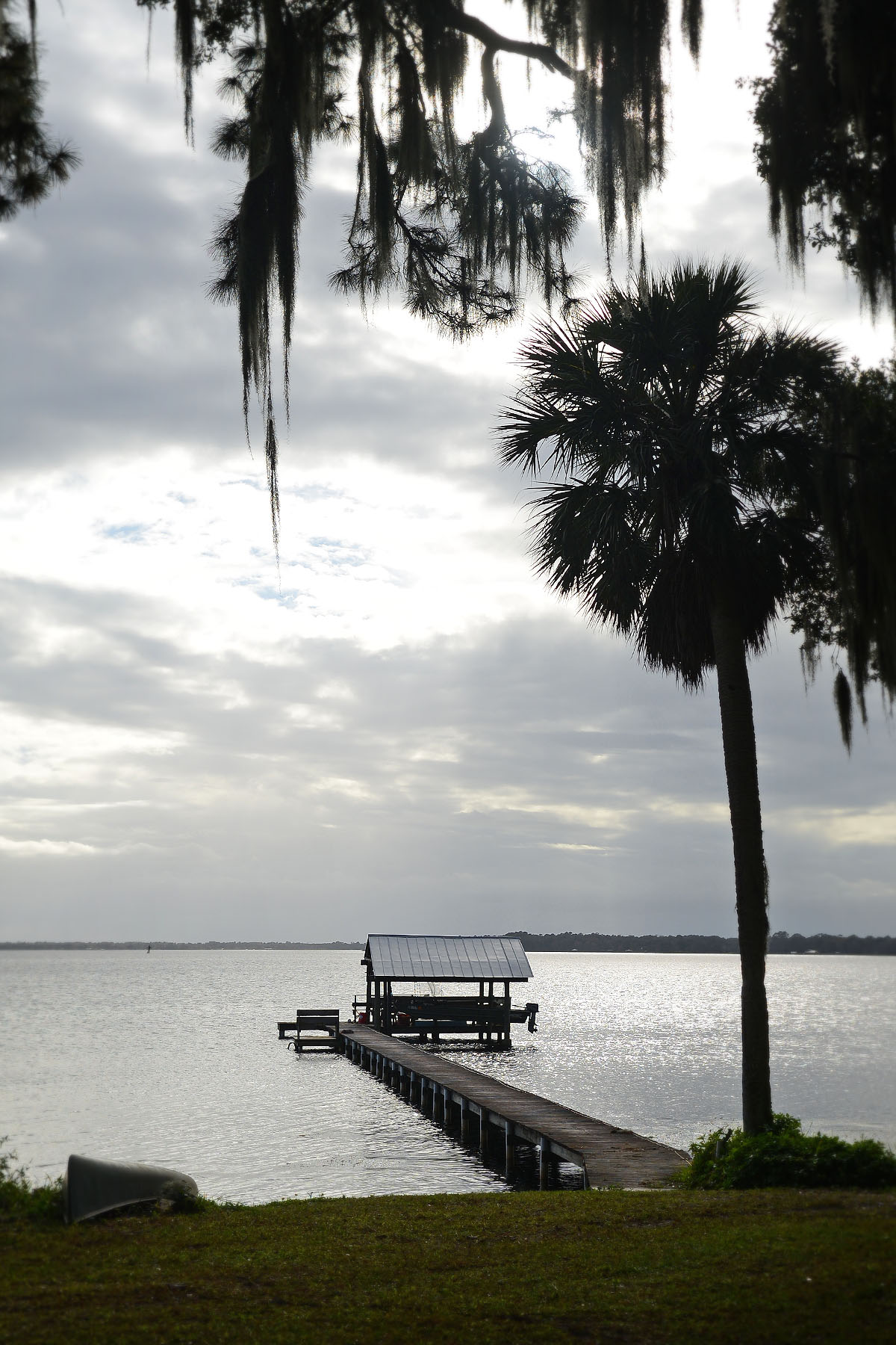
Sunset on the St John's River

I happened upon some awesome sky yesterday. This 8 image stitch was shot high above a farm in Elkton, FL. #iflydji #djicreators #gopro #hero3plus #djiphantom #igersjax #igersstaugustine #igersflorida #pano #squareready
F3040150_HDR-348.jpg

bed room

Moultrie Woods Townhomes
State Road 207 1

Moultrie Woods Townhomes
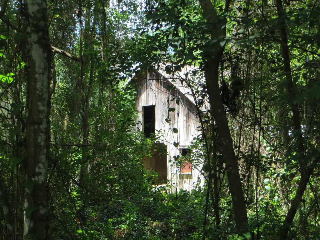
Barn (Sanchez Homestead) Spuds FL
The Fog Comes In...
Topographic Map of Florida, FL-, Florida, USA
Find elevation by address:

Places near Florida, FL-, Florida, USA:
6090 Armstrong Rd
Railroad Ave, Elkton, FL, USA
5990 St Ambrose Church Rd
Elkton
7901 Jefferson Ave
7939 Jefferson Ave
7871 State Rd 207
615 E St Johns Ave
N Main St, Hastings, FL, USA
Hastings
1054 Hastings Federal Point Rd
196 Commercial Ave
208 Commercial Ave
157 E New England Dr
4171 Vermont Blvd
State Rd, Elkton, FL, USA
Commercial Avenue
Mora Place
7950 Coquina Crossing Dr
5041 Coquina Crossing Dr
Recent Searches:
- Elevation of Corso Fratelli Cairoli, 35, Macerata MC, Italy
- Elevation of Tallevast Rd, Sarasota, FL, USA
- Elevation of 4th St E, Sonoma, CA, USA
- Elevation of Black Hollow Rd, Pennsdale, PA, USA
- Elevation of Oakland Ave, Williamsport, PA, USA
- Elevation of Pedrógão Grande, Portugal
- Elevation of Klee Dr, Martinsburg, WV, USA
- Elevation of Via Roma, Pieranica CR, Italy
- Elevation of Tavkvetili Mountain, Georgia
- Elevation of Hartfords Bluff Cir, Mt Pleasant, SC, USA