Elevation of Flint Creek Multiple Use Trail, Danville, AL, USA
Location: United States > Alabama > Morgan County > Danville >
Longitude: -87.178839
Latitude: 34.3412697
Elevation: 305m / 1001feet
Barometric Pressure: 98KPa
Elevation Map:
Satellite Map:
Related Photos:

Holmes Chapel Falls
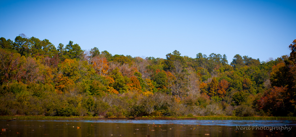
IMG_0094-1
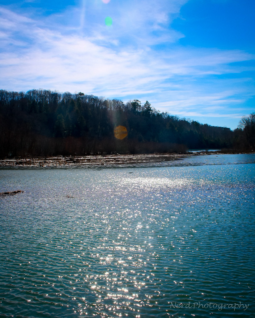
IMG_0066-1
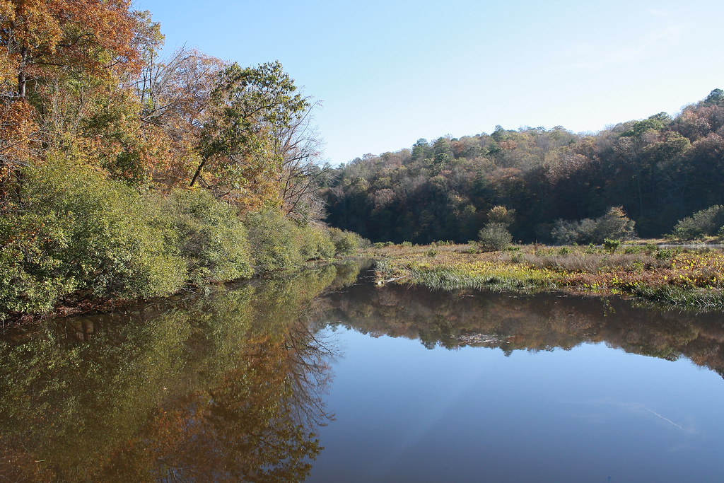
Bankhead National Forest
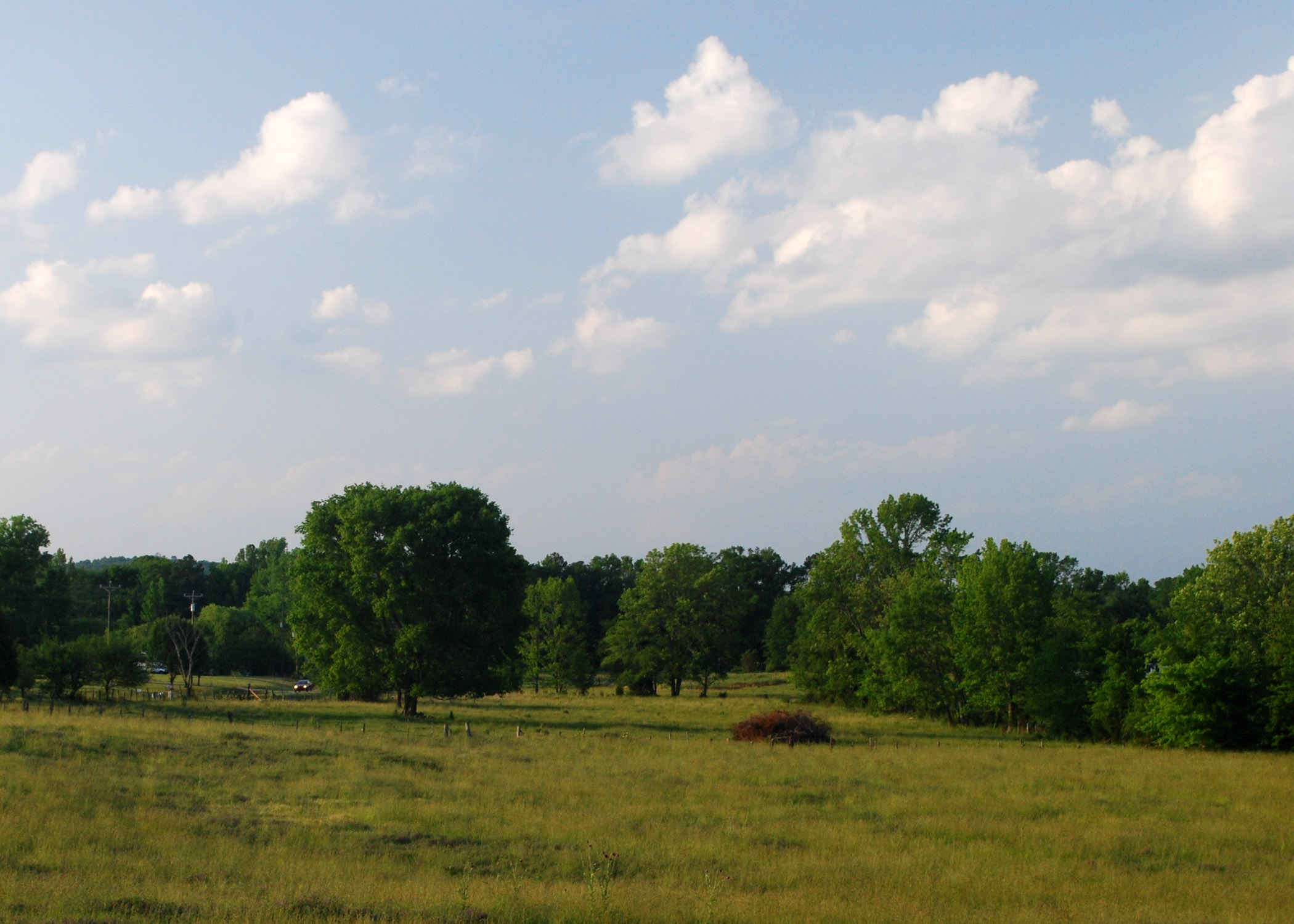
The View across the Way
brushy creek 2
Topographic Map of Flint Creek Multiple Use Trail, Danville, AL, USA
Find elevation by address:

Places near Flint Creek Multiple Use Trail, Danville, AL, USA:
981 Co Rd 195
25 Freeman Rd, Danville, AL, USA
Access Rd, Danville, AL, USA
Oakville
Co Rd, Vinemont, AL, USA
Danville
979 N Johnson Chapel Rd
Isley Road
220 Co Rd 1213
193 Iron Man Rd
Crescent Dr SW, Hartselle, AL, USA
Main St W, Hartselle, AL, USA
Hartselle
Falkville
618 Rock St Se
US-31, Falkville, AL, USA
Broad St, Falkville, AL, USA
Morgan County
Mt Tabor Rd, Hartselle, AL, USA
Recent Searches:
- Elevation of Corso Fratelli Cairoli, 35, Macerata MC, Italy
- Elevation of Tallevast Rd, Sarasota, FL, USA
- Elevation of 4th St E, Sonoma, CA, USA
- Elevation of Black Hollow Rd, Pennsdale, PA, USA
- Elevation of Oakland Ave, Williamsport, PA, USA
- Elevation of Pedrógão Grande, Portugal
- Elevation of Klee Dr, Martinsburg, WV, USA
- Elevation of Via Roma, Pieranica CR, Italy
- Elevation of Tavkvetili Mountain, Georgia
- Elevation of Hartfords Bluff Cir, Mt Pleasant, SC, USA