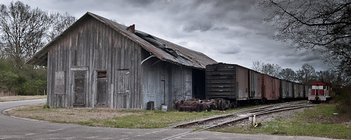
Elevation of Fletcher Rd, Gibson, NC, USA
Location: United States > North Carolina > Scotland County > Williamson > Gibson >
Longitude: -79.566863
Latitude: 34.7547783
Elevation: -10000m / -32808feet
Barometric Pressure: 295KPa
Related Photos:
Topographic Map of Fletcher Rd, Gibson, NC, USA
Find elevation by address:

Places near Fletcher Rd, Gibson, NC, USA:
Williamson
X Way Rd, Laurinburg, NC, USA
Main St, Gibson, NC, USA
Gibson
7841 Rockingham Rd
12701 Blues Farm Rd
Gibson Rd, Laurinburg, NC, USA
Providence Rd, Laurinburg, NC, USA
Old Wire Rd, Laurel Hill, NC, USA
911 W Scotsdale Rd
2200 Elm Ave
7960 Scotch Meadows Dr
Barnes Bridge Rd, Laurinburg, NC, USA
Scotland County Memorial Library
Laurinburg
E Church St, Laurinburg, NC, USA
Sawdust Ln, Laurinburg, NC, USA
321 N Gill St
4066 Pea Bridge Rd
Lakeland Dr, Bennettsville, SC, USA
Recent Searches:
- Elevation of Corso Fratelli Cairoli, 35, Macerata MC, Italy
- Elevation of Tallevast Rd, Sarasota, FL, USA
- Elevation of 4th St E, Sonoma, CA, USA
- Elevation of Black Hollow Rd, Pennsdale, PA, USA
- Elevation of Oakland Ave, Williamsport, PA, USA
- Elevation of Pedrógão Grande, Portugal
- Elevation of Klee Dr, Martinsburg, WV, USA
- Elevation of Via Roma, Pieranica CR, Italy
- Elevation of Tavkvetili Mountain, Georgia
- Elevation of Hartfords Bluff Cir, Mt Pleasant, SC, USA


