Elevation of Flat Rock Rd, Charlotte, VT, USA
Location: United States > Vermont > Chittenden County > Charlotte >
Longitude: -73.290229
Latitude: 44.269108
Elevation: 36m / 118feet
Barometric Pressure: 101KPa
Elevation Map:
Satellite Map:
Related Photos:
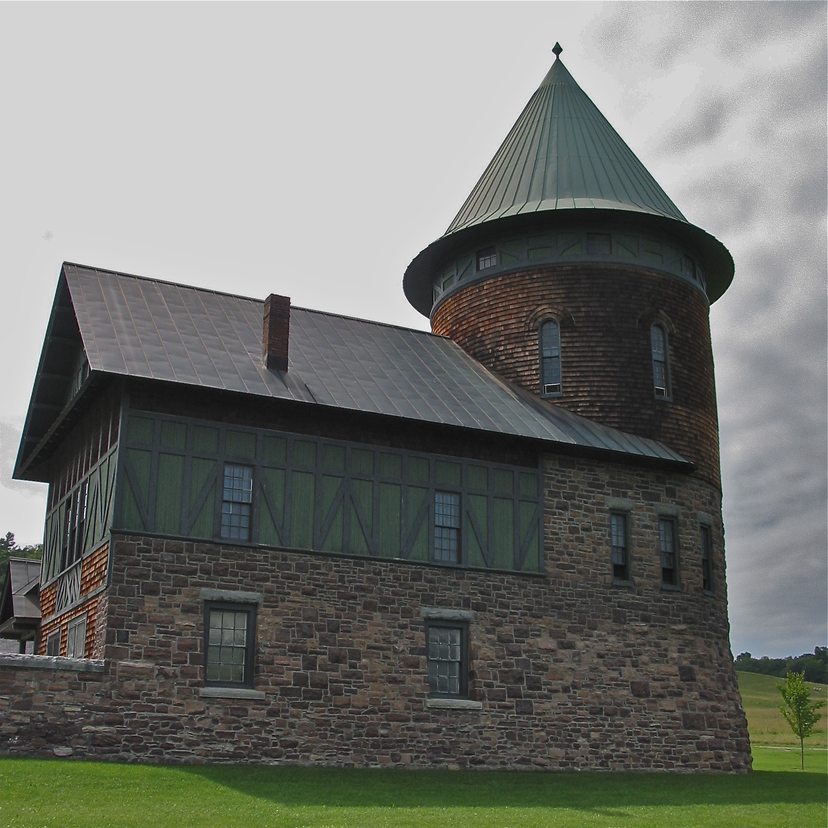
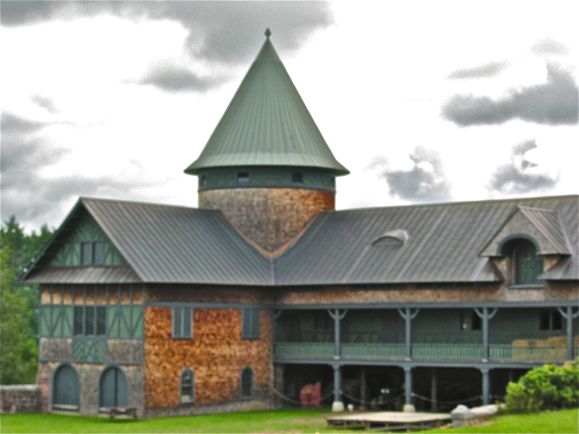
Shelburne Farms (1886) – Farm Barn (1888-90) - detail
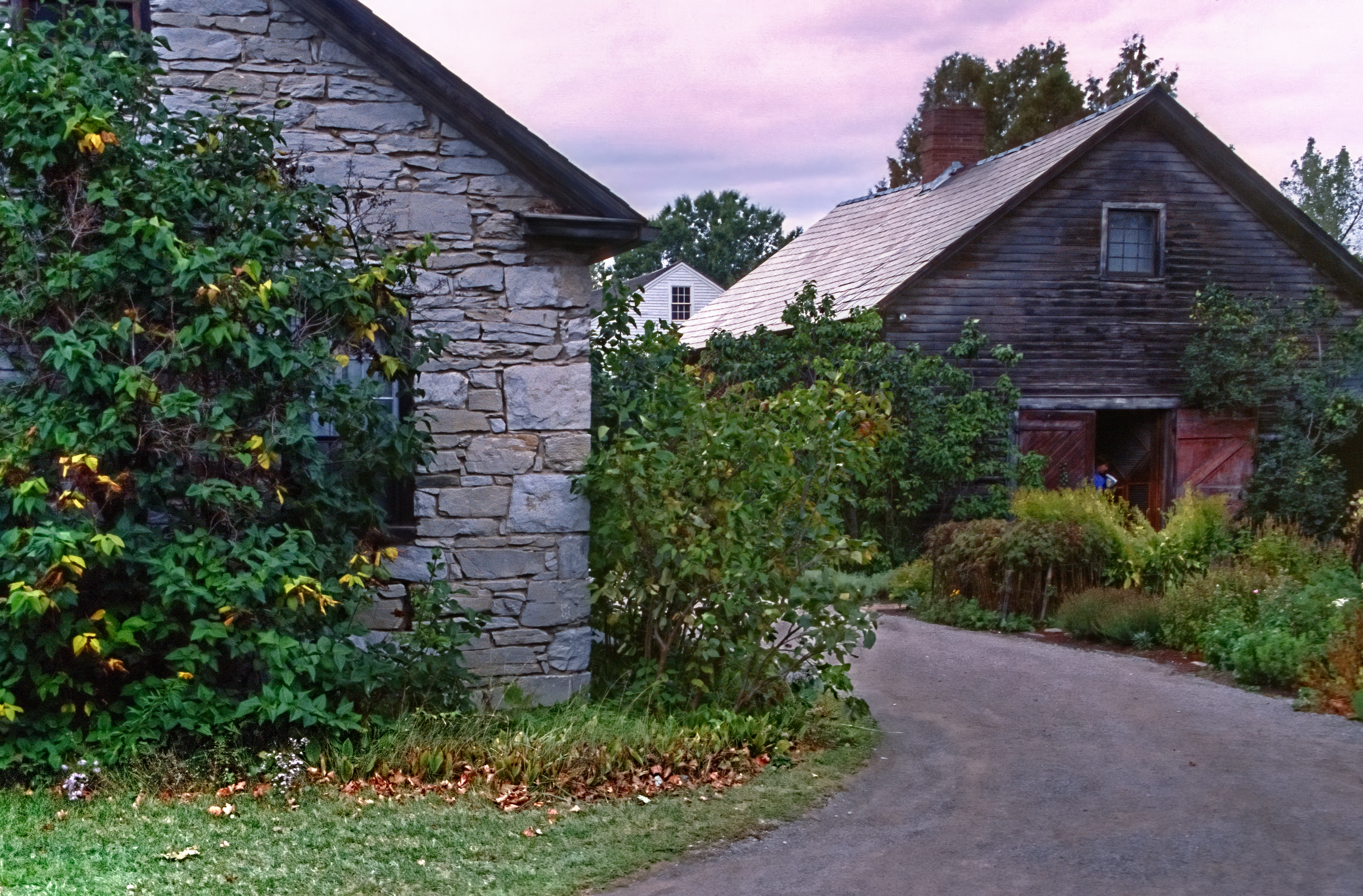
Settler's House and Barn
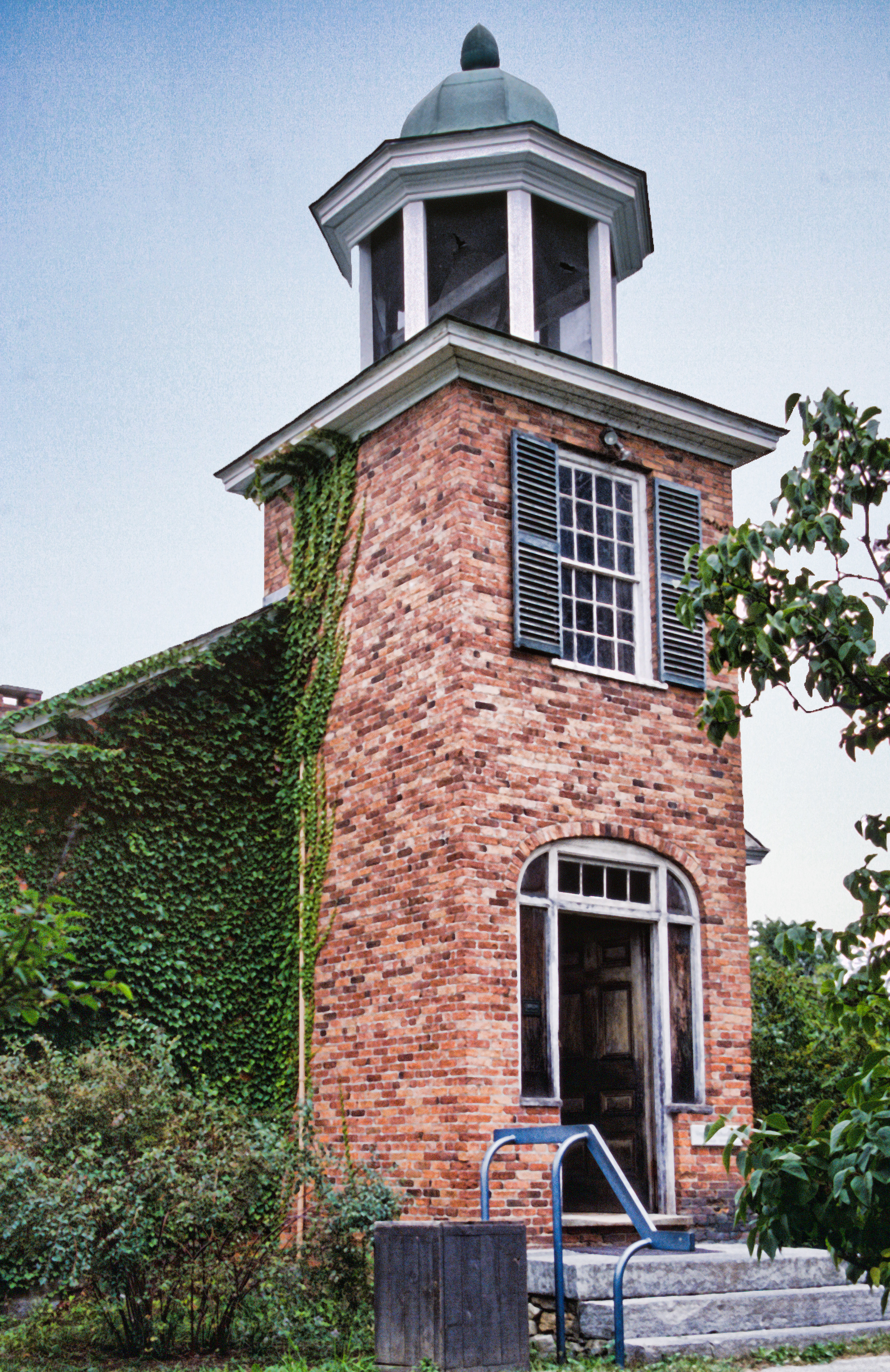
Vergennes Schoolhouse, Shelbourne Vermont
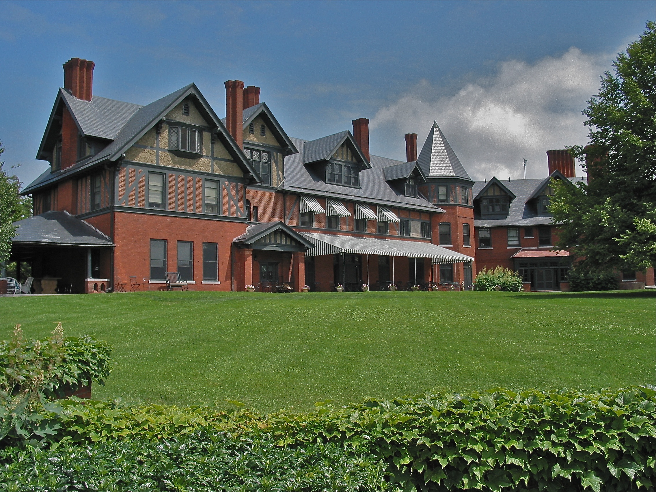
Shelburne Farms (1886) – Shelburne House (1899)
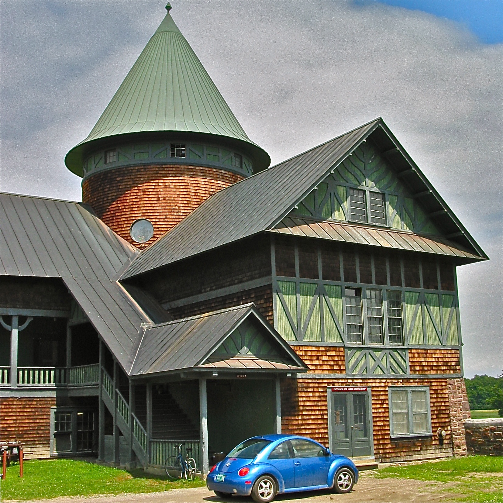
Shelburne Farms (1886) – Farm Barn (1888-90) - detail

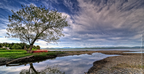
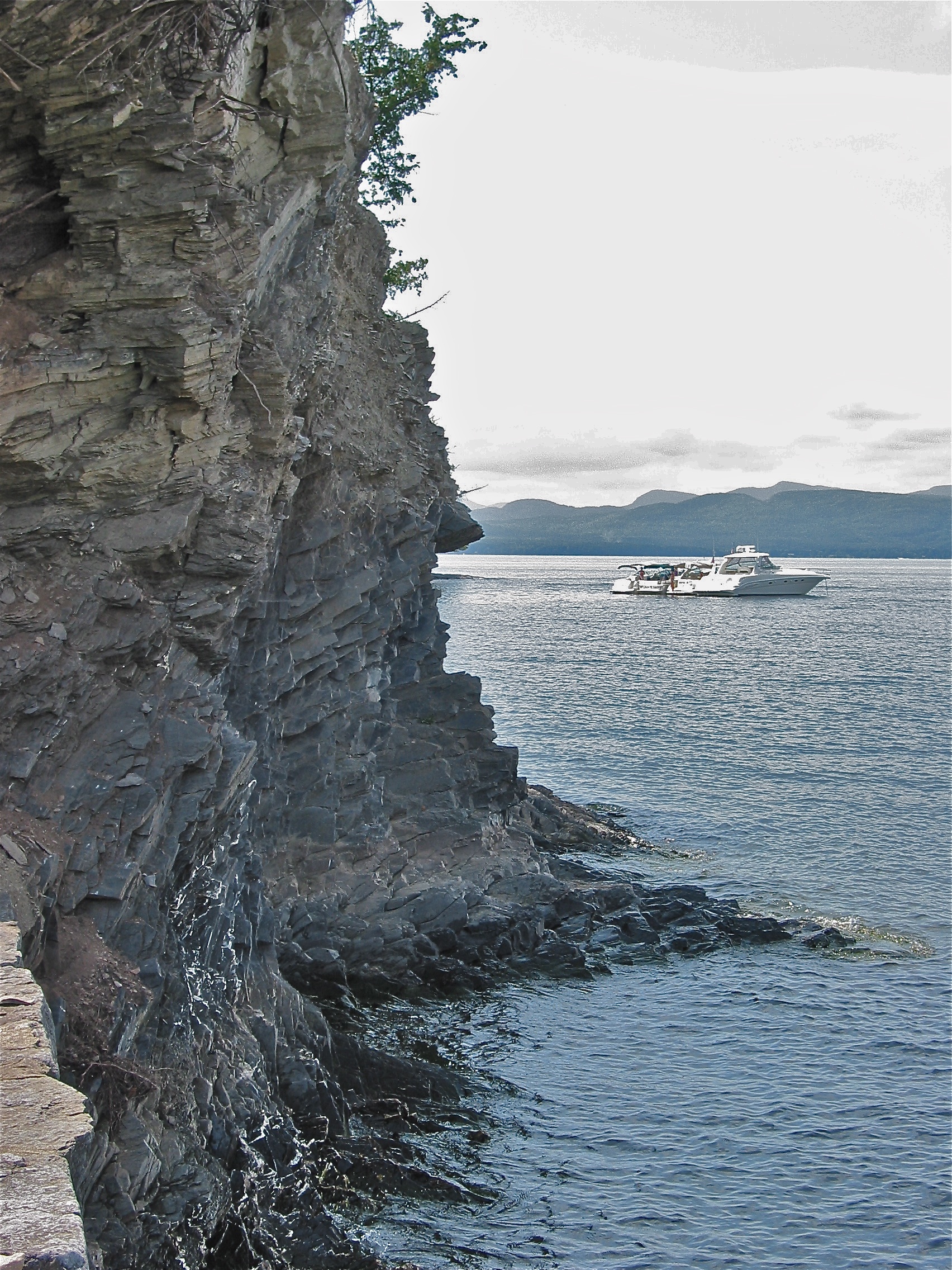
Lake Champlain - View From New York to Vermont
The Red Canoe
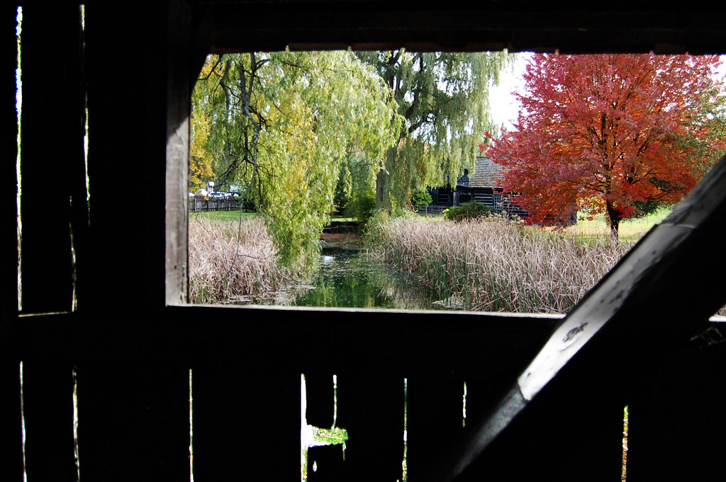
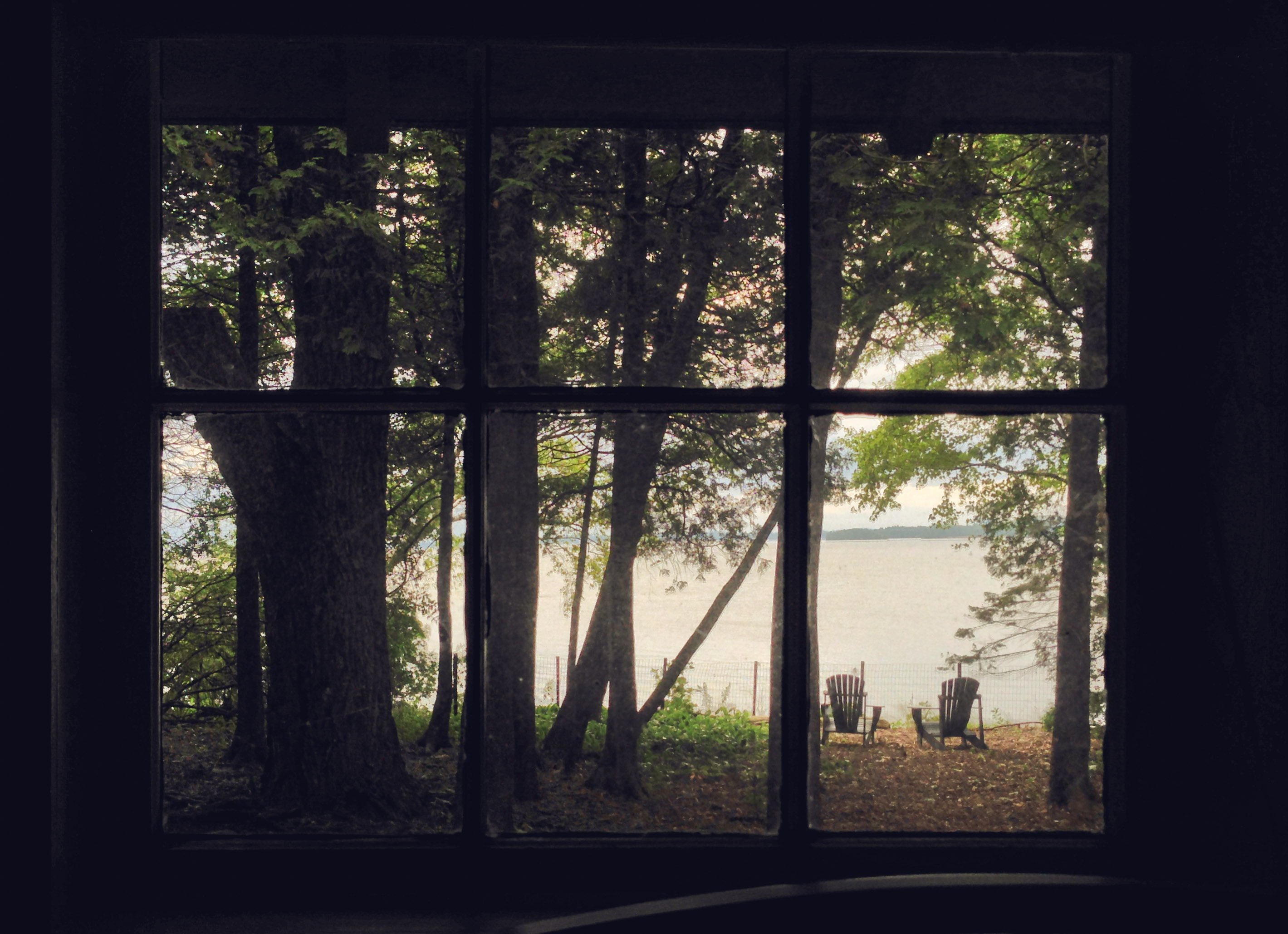
view from a bridge
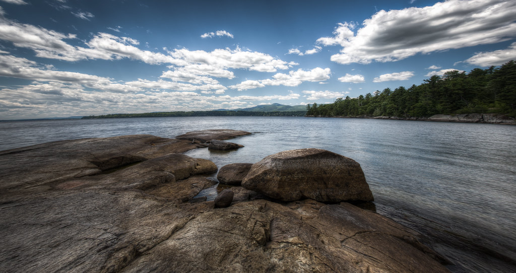
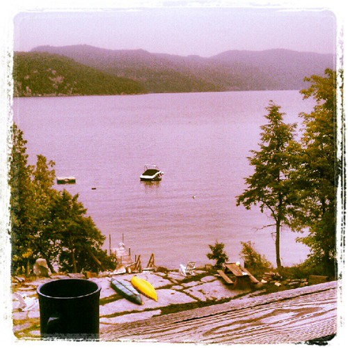
North Shore July 2012

Another beautiful morning in Vermont.

Frightening Bird's Eye View... #perspective #vantage #art #artspaces #museumspaces #museumseries Painting: "Soaring" (1950) by Andrew Wyeth (1917 - 2009)
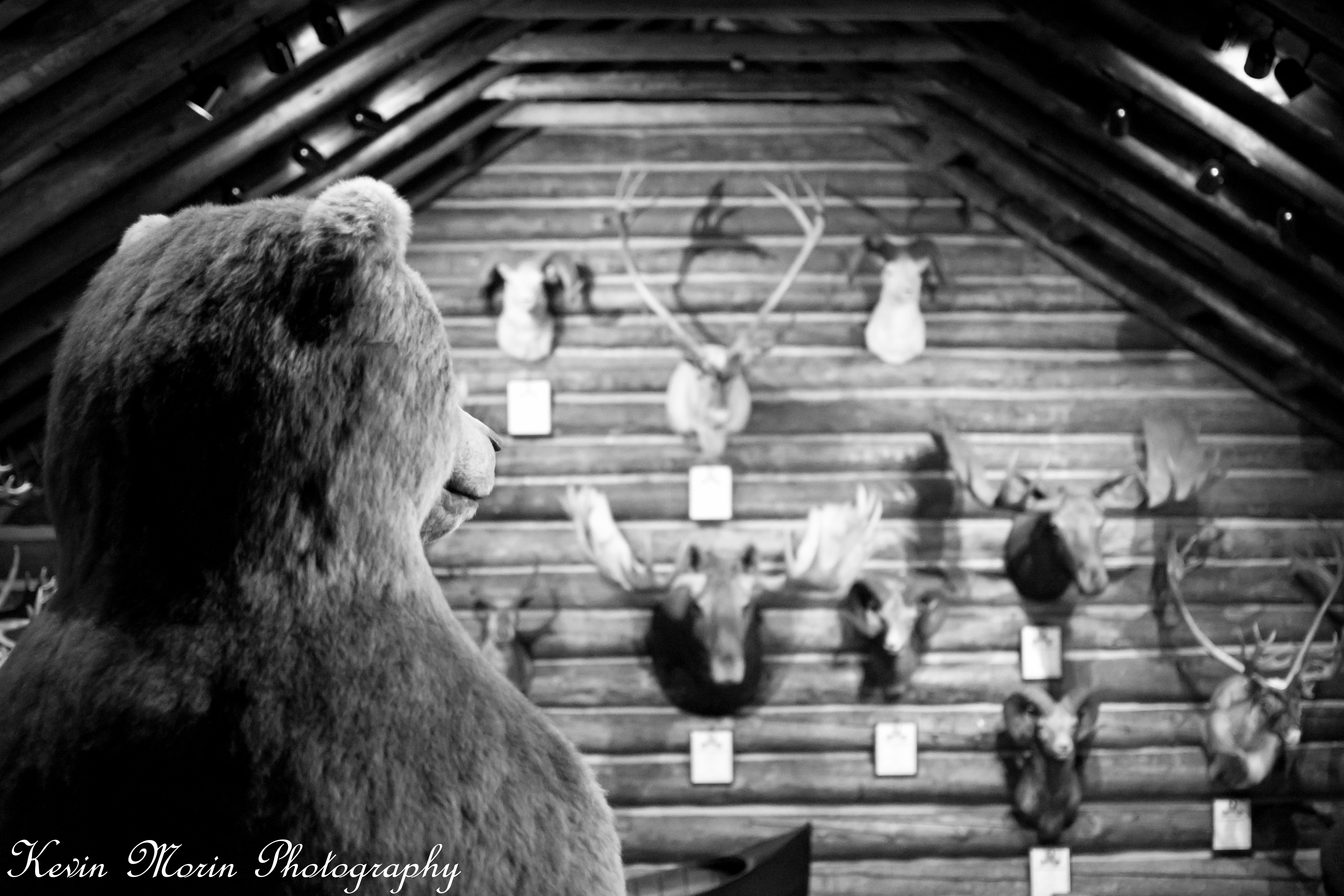
A Bears View
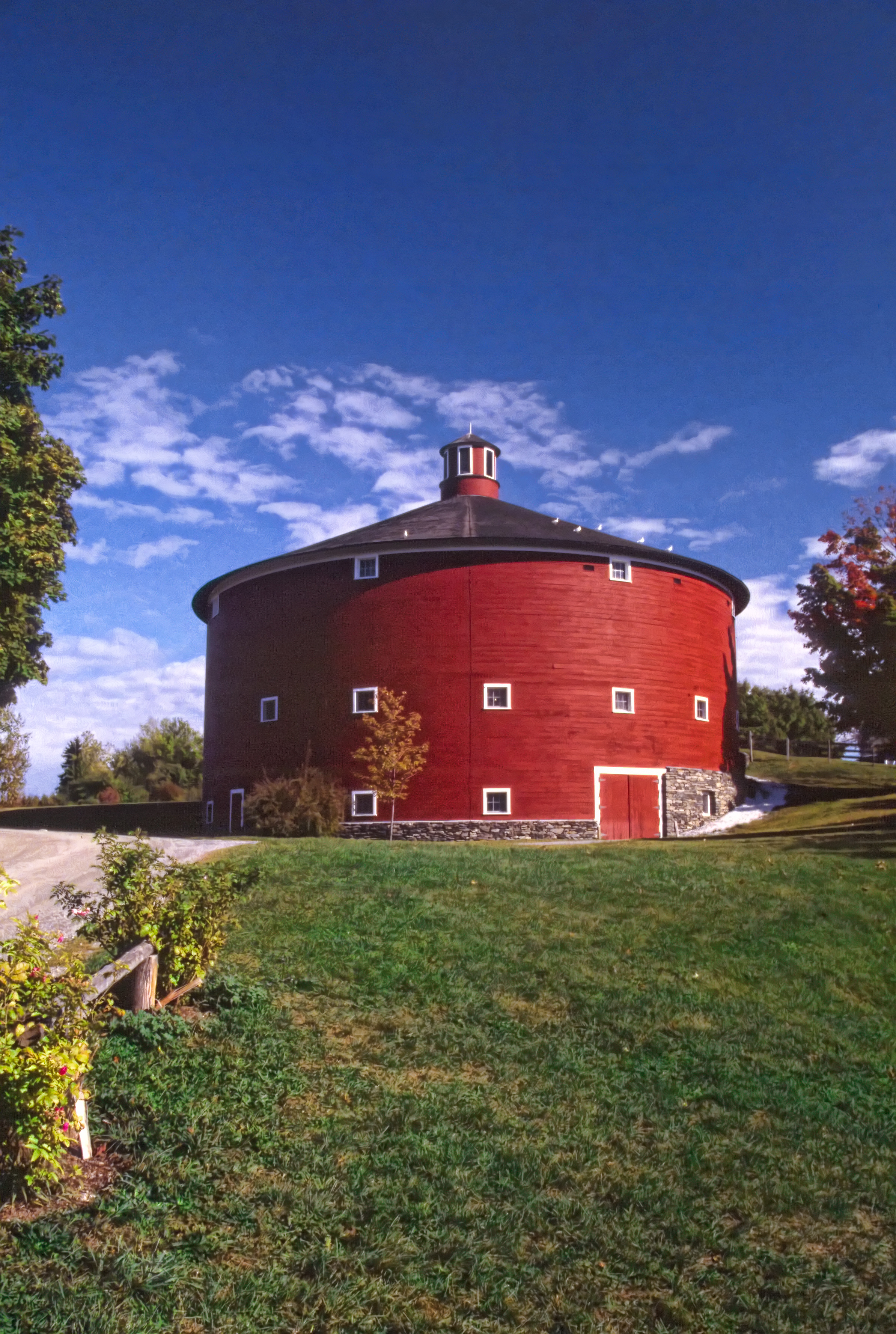
Round Barn, Shelbourne, VT
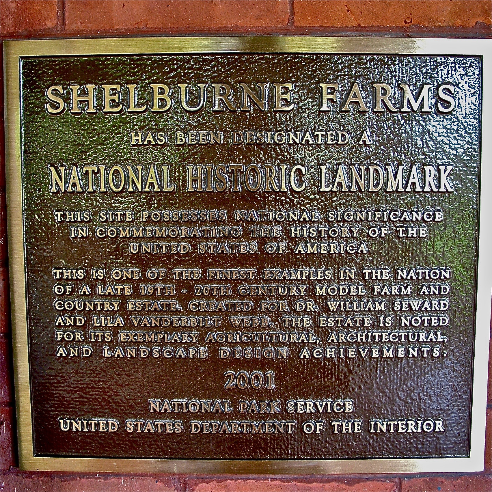
Shelburne Farms (1886) – National Historic Landmark plaque
The view from paradise.
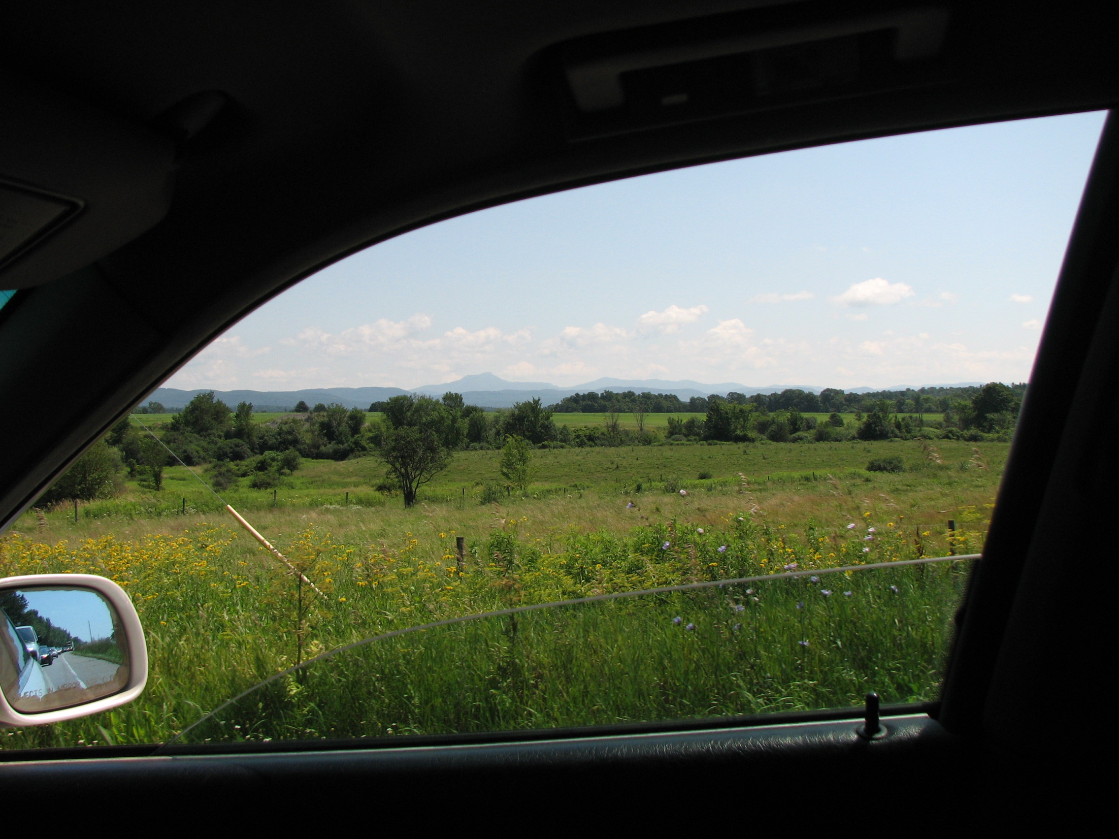
car.window • view

Elm limb
Shelburne Farms (1886) – Farm Barn (1888-90)
View to Lake Champlain

Button Bay State Park
Shelburne Farms (1886) – Shelburne House (1899) - lake view
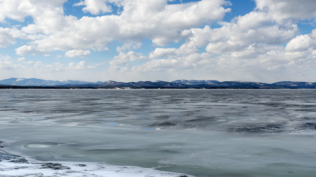
the lake, the cold and the clouds

fall day on the pond
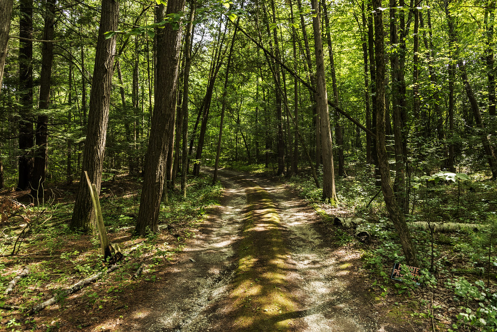
The Magic Path
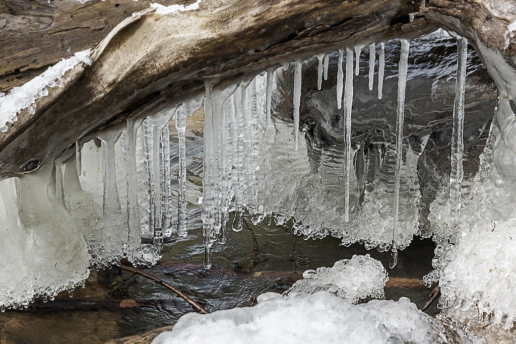
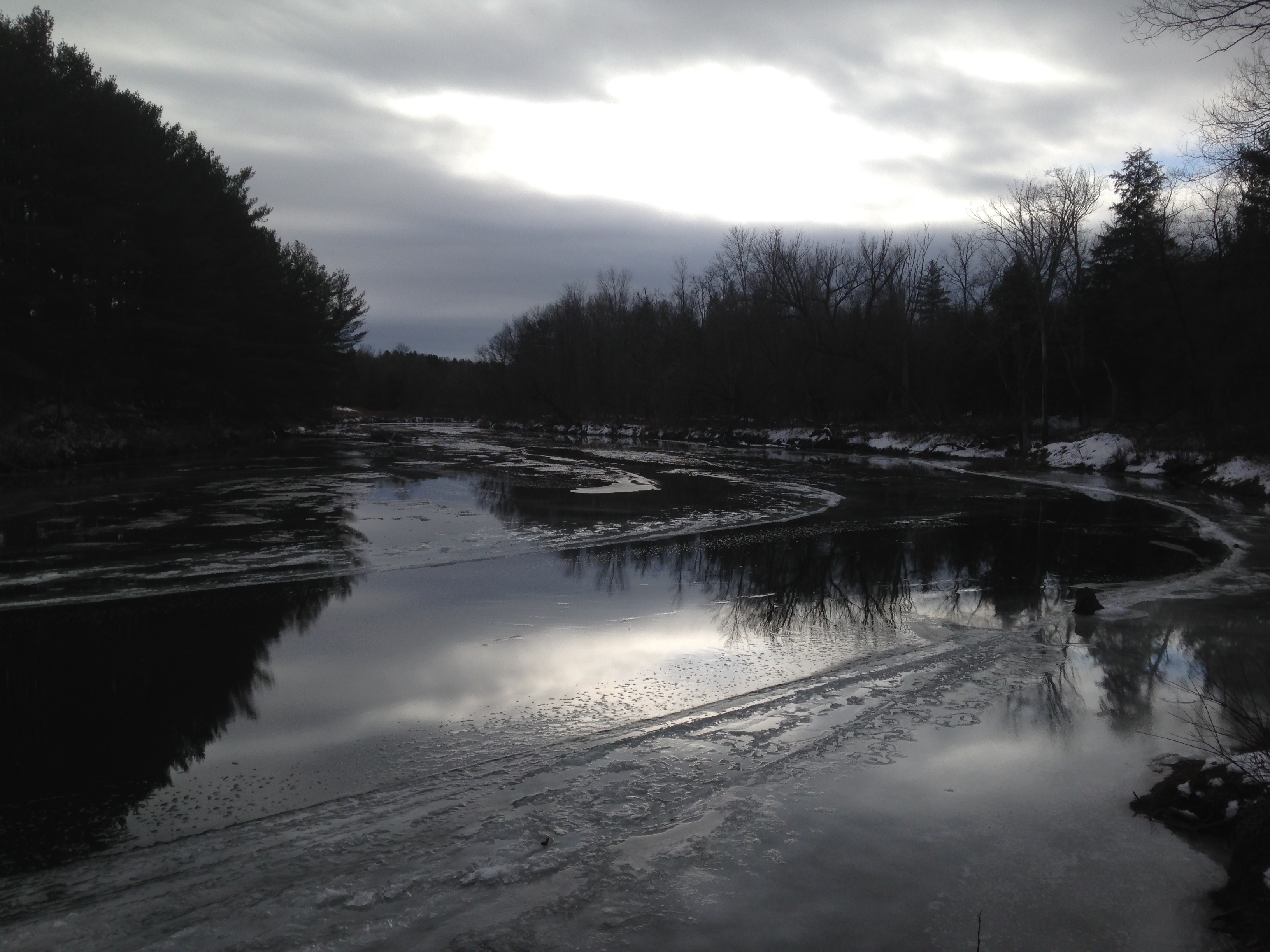
lake ice

Puffy White Clouds
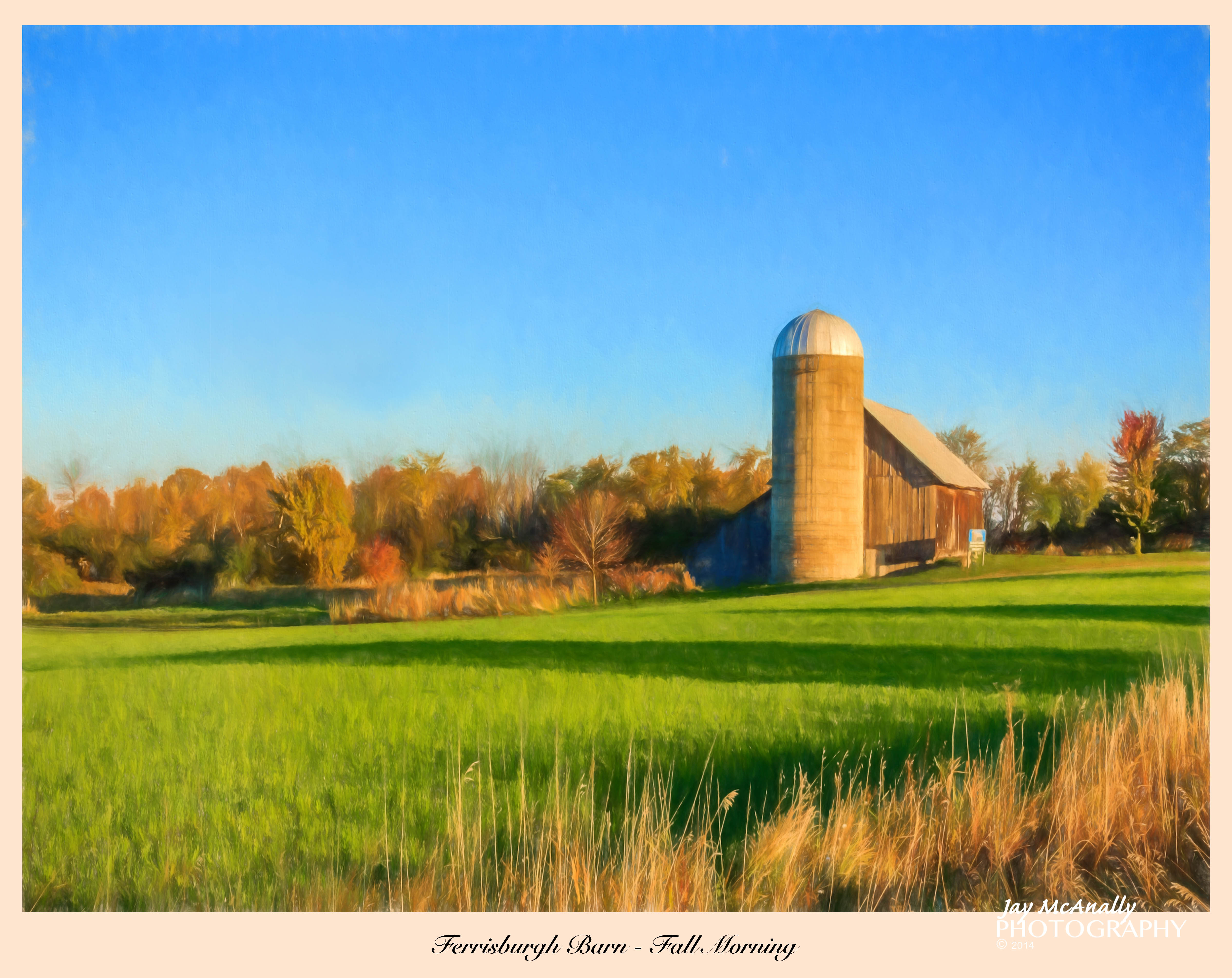
Ferrisburgh Barn - Topaz Impression | Pastel I

Ten Foot Clearance
Snow for Christmas

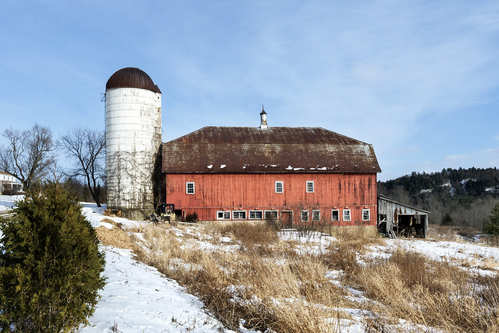
Monkton Barn (Explored!)
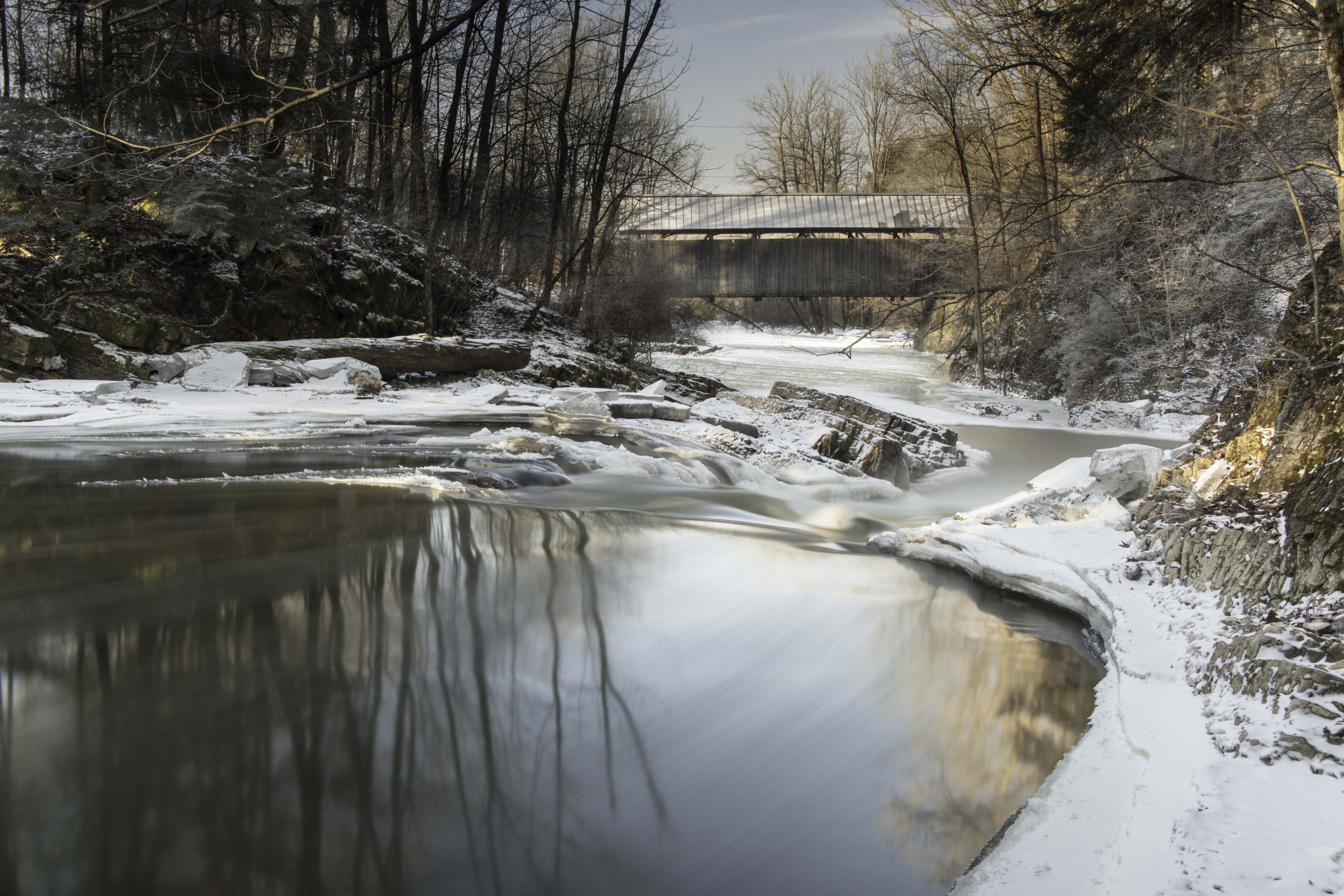
Seguin Covered Bridge
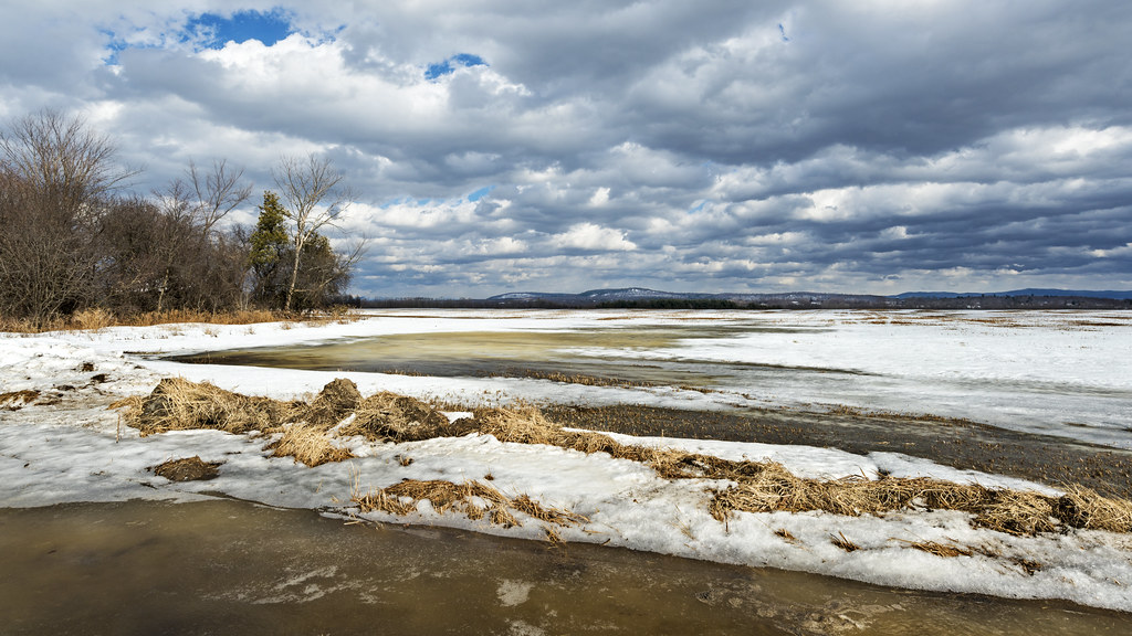
flooded field refreezing
crop circle
back road
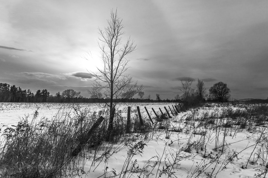
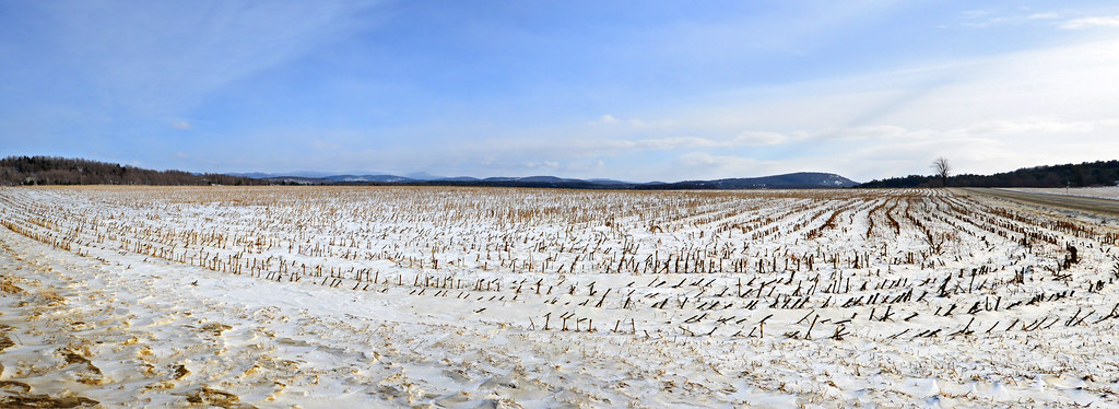
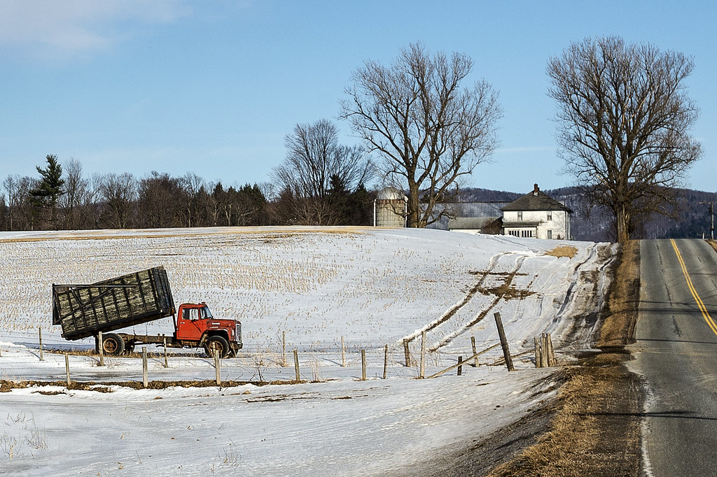
the fields in winter
Boquet River
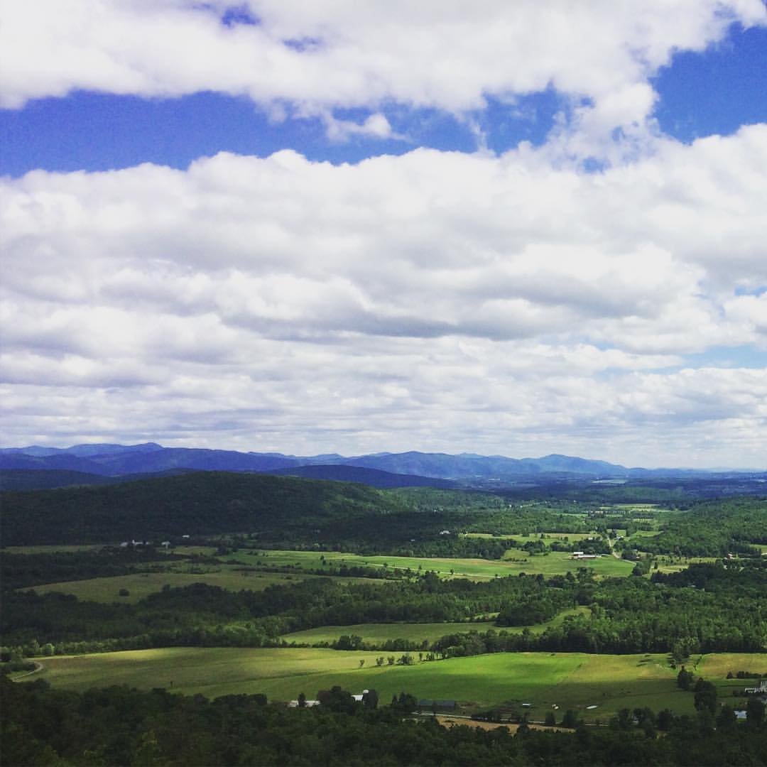
Have I ever mentioned how much I love Vermont?
Topographic Map of Flat Rock Rd, Charlotte, VT, USA
Find elevation by address:

Places near Flat Rock Rd, Charlotte, VT, USA:
4519 Ethan Allen Hwy
Summer Point Ln, Vergennes, VT, USA
160 Ferry Rd
Ferrisburgh
North Ferrisburgh
271 High Meadow Rd
533 Mile Point Rd
Comfort Hill Street
Quinlans Covered Bridge
Vergennes
Essex
49 New Haven Rd
276 Vt-22a
2518 Button Bay Rd
Panton
6 Fiddlehead Rd
Monkton Rd, North Ferrisburgh, VT, USA
2410 Boro Hill Rd
Main St, Westport, NY, USA
Westport
Recent Searches:
- Elevation of Corso Fratelli Cairoli, 35, Macerata MC, Italy
- Elevation of Tallevast Rd, Sarasota, FL, USA
- Elevation of 4th St E, Sonoma, CA, USA
- Elevation of Black Hollow Rd, Pennsdale, PA, USA
- Elevation of Oakland Ave, Williamsport, PA, USA
- Elevation of Pedrógão Grande, Portugal
- Elevation of Klee Dr, Martinsburg, WV, USA
- Elevation of Via Roma, Pieranica CR, Italy
- Elevation of Tavkvetili Mountain, Georgia
- Elevation of Hartfords Bluff Cir, Mt Pleasant, SC, USA