Elevation of Ethan Allen Hwy, Charlotte, VT, USA
Location: United States > Vermont > Chittenden County > Charlotte >
Longitude: -73.241707
Latitude: 44.291649
Elevation: 73m / 240feet
Barometric Pressure: 100KPa
Elevation Map:
Satellite Map:
Related Photos:
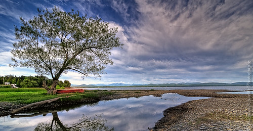
The Red Canoe

view from a bridge

The Overlook

Storm Approaching Shelburne Bay
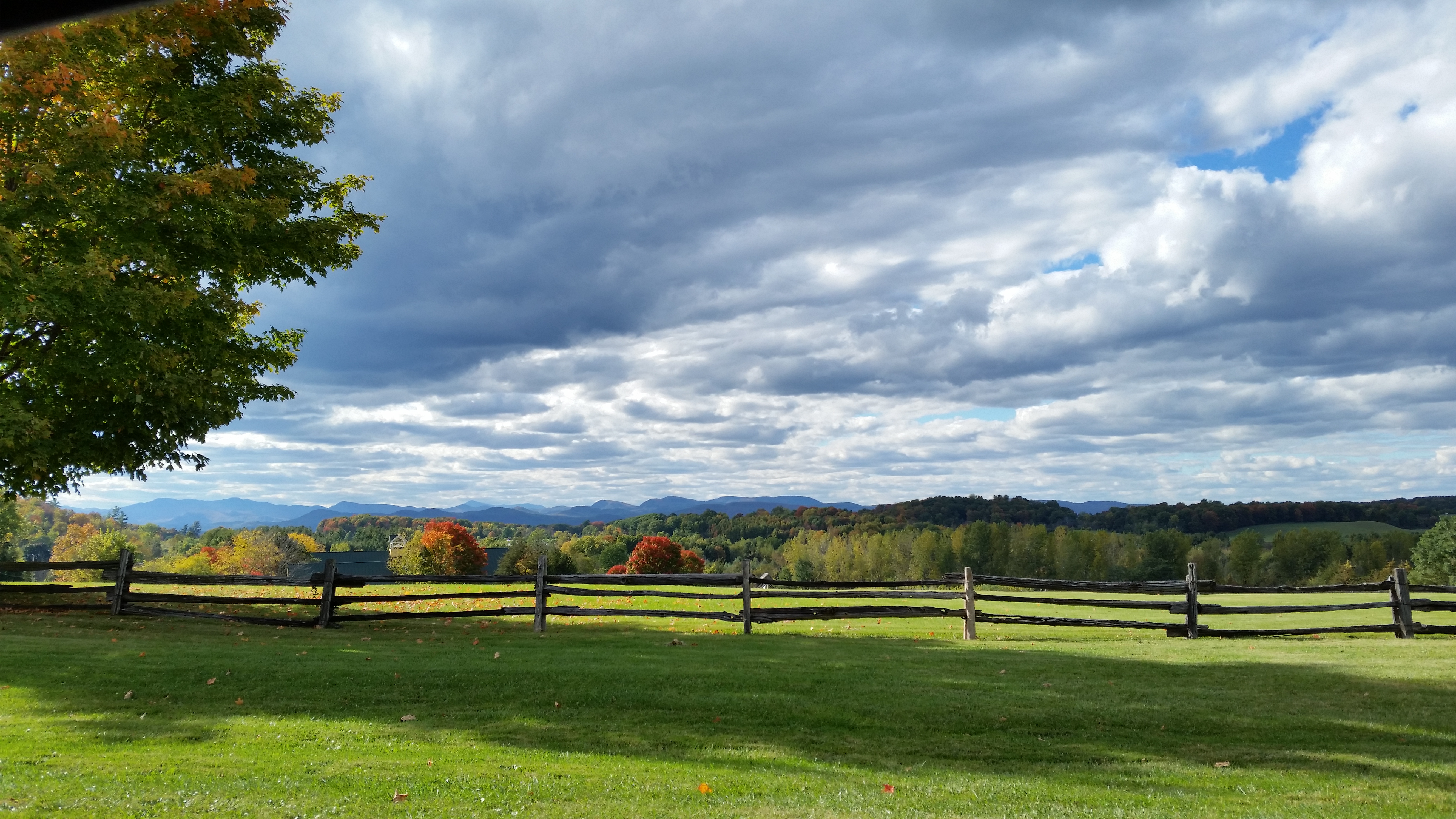
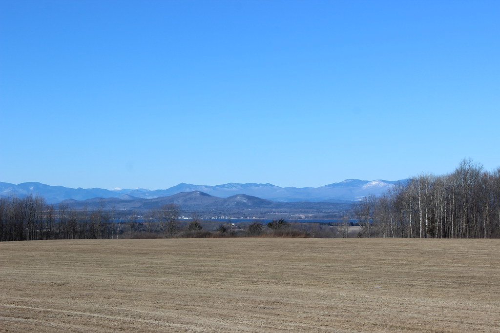
Roadside View
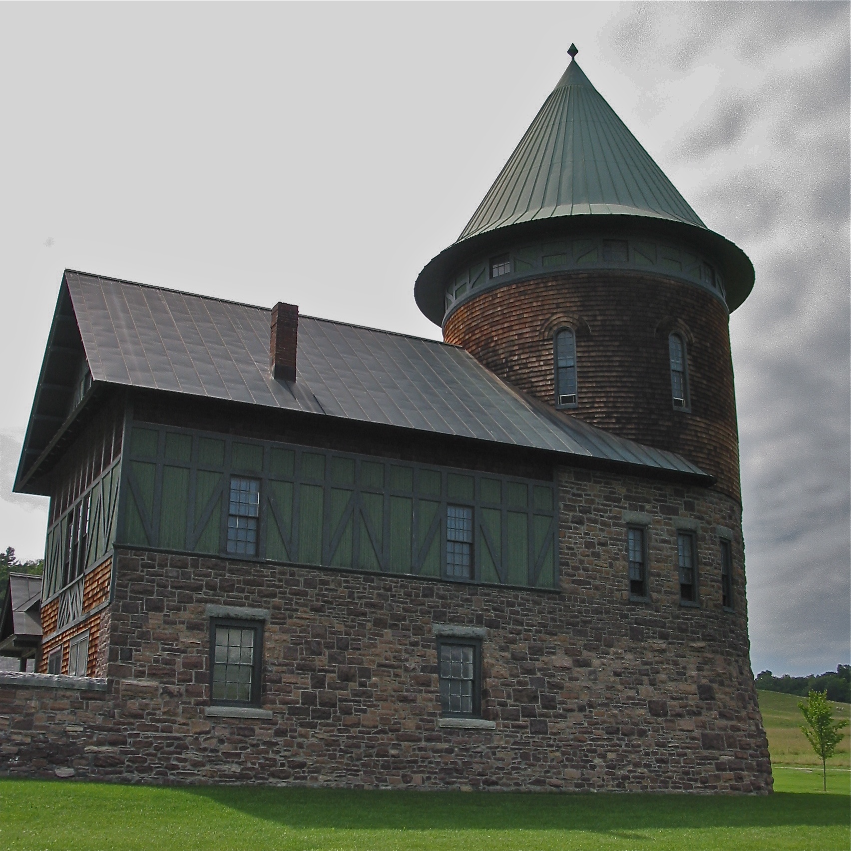
Shelburne Farms (1886) – Farm Barn (1888-90) - detail

Round Barn, Shelbourne, VT
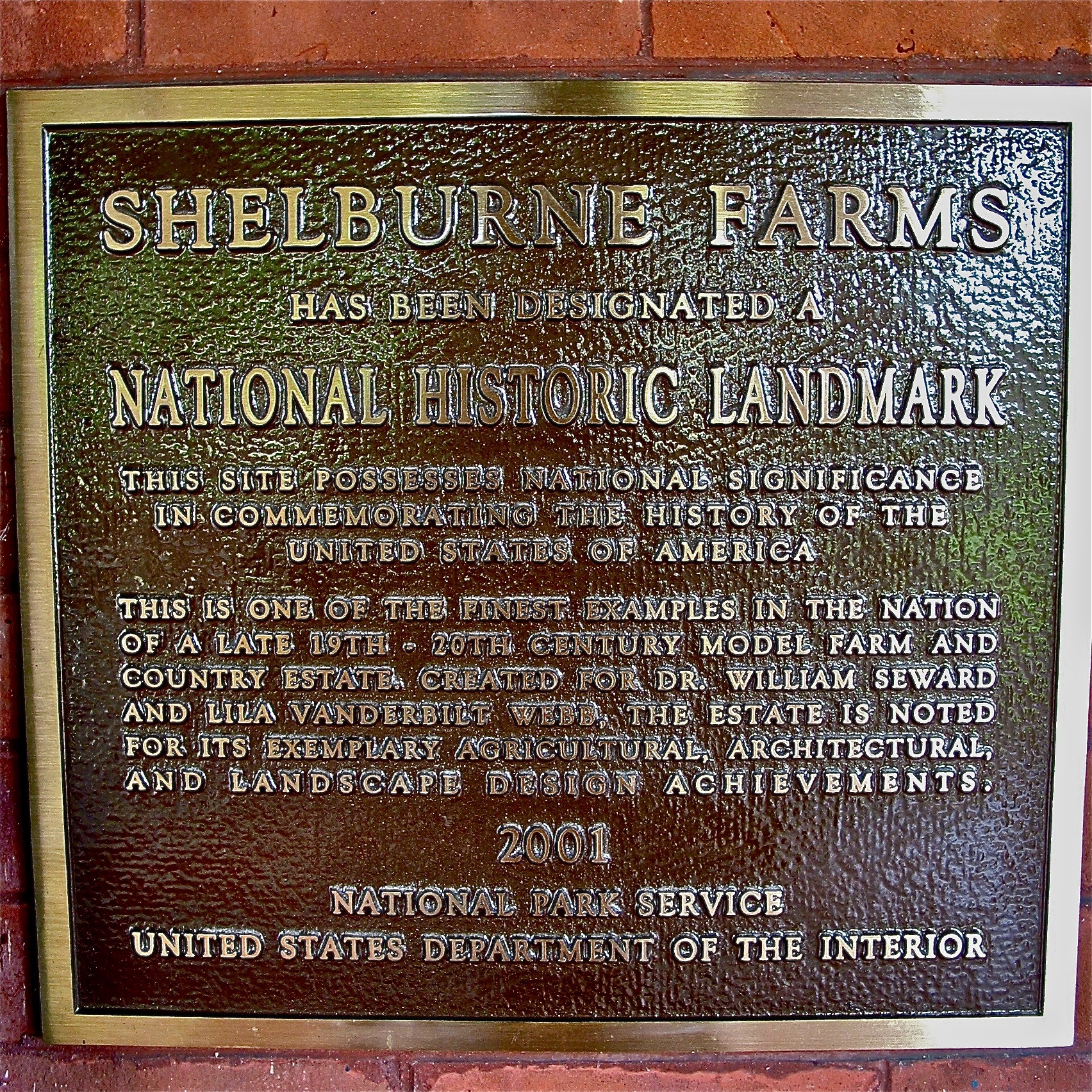
Shelburne Farms (1886) – National Historic Landmark plaque
Adirondack mountains viewed from Vermont

Frightening Bird's Eye View... #perspective #vantage #art #artspaces #museumspaces #museumseries Painting: "Soaring" (1950) by Andrew Wyeth (1917 - 2009)
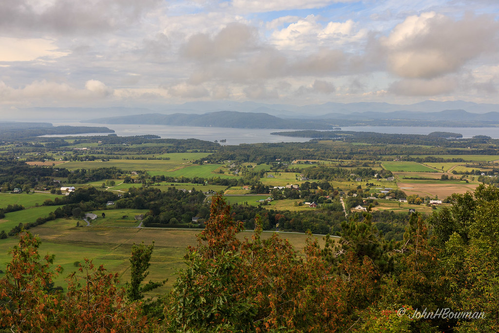
View from Mount Philo

See Through

Lake Champlain - View From New York to Vermont
after.Sandy • sunrise.rainbow (L)

Essex, NY Boathouse #2

A Bears View

Vergennes Schoolhouse, Shelbourne Vermont

Shelburne Farms (1886) – Dairy Barn (1891)

Shelburne Farms (1886) – Farm Barn (1888-90)

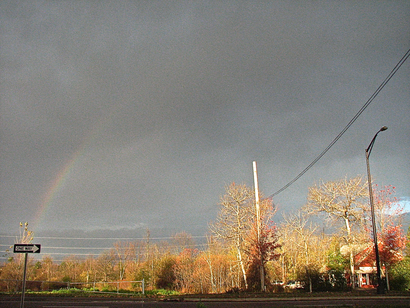
after.Sandy • one.way

L.S. Drew Lake View House (c.1850) – corner brackets

Mt Philo panorama - Lake Champlain

The Magic Path

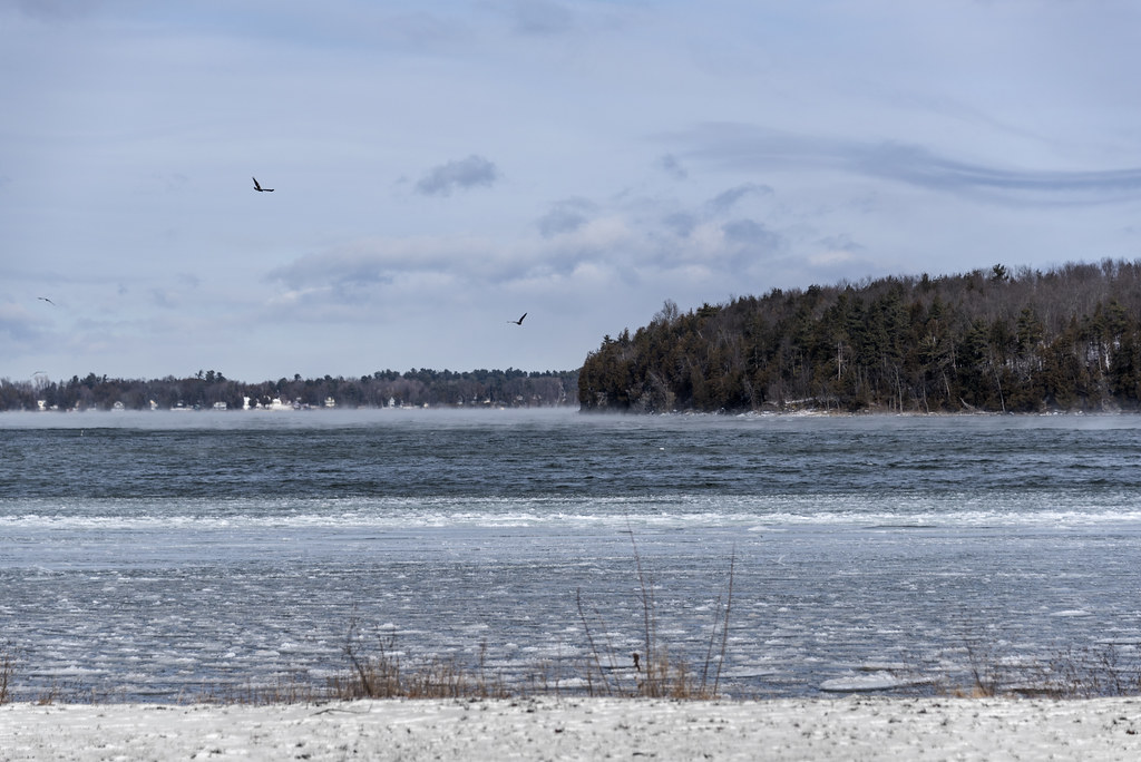
River Ice

November Sky

Adirondack sunset
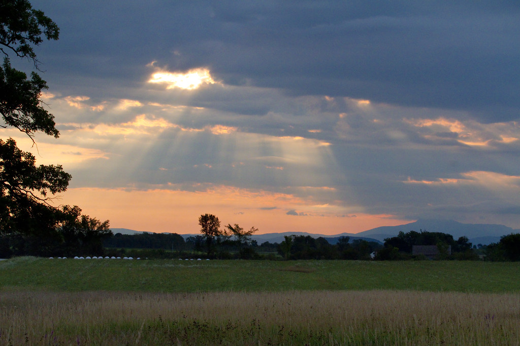
Rays on the Fields

Shelburne Farms Panorama

Eternal View

Vermont Round Barn (HFF)

back road

low perspective

Seguin Covered Bridge

Sunset from VT (explore)
chilly fog

flooded field refreezing

Milky Way from Lone Tree Hill

Snow for Christmas
Topographic Map of Ethan Allen Hwy, Charlotte, VT, USA
Find elevation by address:

Places near Ethan Allen Hwy, Charlotte, VT, USA:
North Ferrisburgh
890 Flat Rock Rd
271 High Meadow Rd
Quinlans Covered Bridge
Ferrisburgh
Monkton Rd, North Ferrisburgh, VT, USA
Summer Point Ln, Vergennes, VT, USA
2410 Boro Hill Rd
Comfort Hill Street
160 Ferry Rd
Vergennes
49 New Haven Rd
Monkton
Monkton
Monkton
Monkton
Monkton
Monkton
Monkton
6 Fiddlehead Rd
Recent Searches:
- Elevation of Corso Fratelli Cairoli, 35, Macerata MC, Italy
- Elevation of Tallevast Rd, Sarasota, FL, USA
- Elevation of 4th St E, Sonoma, CA, USA
- Elevation of Black Hollow Rd, Pennsdale, PA, USA
- Elevation of Oakland Ave, Williamsport, PA, USA
- Elevation of Pedrógão Grande, Portugal
- Elevation of Klee Dr, Martinsburg, WV, USA
- Elevation of Via Roma, Pieranica CR, Italy
- Elevation of Tavkvetili Mountain, Georgia
- Elevation of Hartfords Bluff Cir, Mt Pleasant, SC, USA