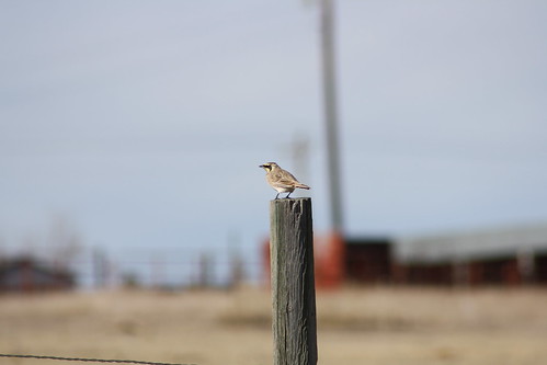
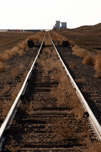
Elevation of Flagler, CO, USA
Location: United States > Colorado > Kit Carson County > Flagler >
Longitude: -103.03569
Latitude: 39.2873463
Elevation: 1485m / 4872feet
Barometric Pressure: 85KPa
Related Photos:
Topographic Map of Flagler, CO, USA
Find elevation by address:

Places near Flagler, CO, USA:
828 Ouray Ave
828 Ouray Ave
Flagler
Colorado Ave, Seibert, CO, USA
Seibert
Curtis St, Arriba, CO, USA
Arriba
Co Rd Z, Kit Carson, CO, USA
Lincoln County
6th St, Hugo, CO, USA
Hugo
309 5th St
Kit Carson
Limon, CO, USA
441 G Ave
Limon
I Ave, Limon, CO, USA
Punkin Center
Cedar Point
3rd St, Haswell, CO, USA
Recent Searches:
- Elevation of Corso Fratelli Cairoli, 35, Macerata MC, Italy
- Elevation of Tallevast Rd, Sarasota, FL, USA
- Elevation of 4th St E, Sonoma, CA, USA
- Elevation of Black Hollow Rd, Pennsdale, PA, USA
- Elevation of Oakland Ave, Williamsport, PA, USA
- Elevation of Pedrógão Grande, Portugal
- Elevation of Klee Dr, Martinsburg, WV, USA
- Elevation of Via Roma, Pieranica CR, Italy
- Elevation of Tavkvetili Mountain, Georgia
- Elevation of Hartfords Bluff Cir, Mt Pleasant, SC, USA


