Elevation of Flagg, Buxton SK17 9QU, UK

Location: United Kingdom > Derbyshire >

Longitude: -1.797392

Latitude: 53.210196

Elevation: 292m / 958feet

Barometric Pressure: 98KPa

Elevation Map:

elevation map of Flagg, Buxton SK17 9QU, UK

Satellite Map:

Satellite map of Flagg, Buxton SK17 9QU, UK

Related Photos:

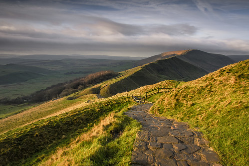
light shadow england sky cloud color colour rural landscape photography photo nikon scenery view unitedkingdom britain path derbyshire peakdistrict hill scenic hills photograph land vista mamtor d7000
The Other Way
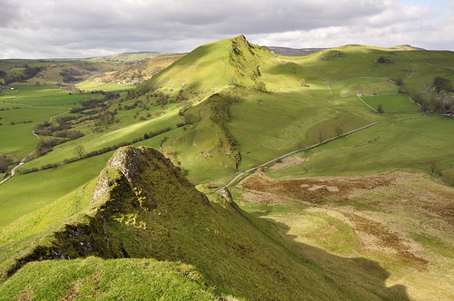
bridge england sun green landscape spring shadows district hill peak hills chrome earl glutton parkhouse sterndale
Chrome Hill from Parkhouse hill
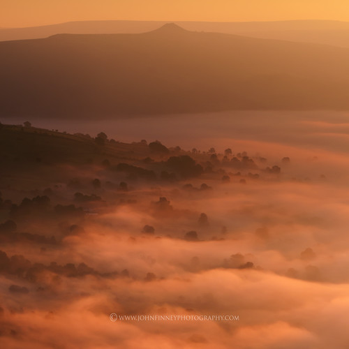
mist misty moody derbyshire peakdistrict winnatspass hopevalley graduatedneutraldensityfilter sigma1020mmf4 nikond7000
Down the misty valley
landscape derbyshire peakdistrict farmland drystonewalls goldenhour eveninglight whitepeak foolow wardlow wardlowmires britnatparks
Wardlow Mires
uk england church derbyshire peakdistrict religion tideswell archway pew stainedglasswindow woodenbeams churchwindow villagechurch stjohnthebaptist religiousbuilding churchaisle paulsimpsonphotography
The view the Vicar has....
uk greatbritain england europe unitedkingdom peakdistrict tag gb 2008 soe gmt gbr dst blueribbonwinner 444v4f inspiredbylove outstandingshots mywinners abigfave platinumphoto aplusphoto diamondclassphotographer flickrdiamond thomaspeter thpeter theunforgettablepictures naturewatcher theperfectphotographer goldstaraward alemdagqualityonlyclub peregrino27newvision
Peak District
panorama landscape derbyshire peakdistrict farmland drystonewalls whitepeak peakforest limestoneway minoltaamount eldonhill britnatparks
Eldon Hill Panorama
uk morning winter panorama snow english ice sunrise landscape countryside december view derbyshire peakdistrict windy wideangle hills valley vista british tamron winhill edalevalley mamtor hopevalley 1024 losehill thegreatridge britnatparks
Mam Tor Gate Sunrise
buxton landscape beautiful day spring light countryside limestone scenery earlsterndale derbyshire england hills sunlight sunshine trees stonewall drystone wall
Sunny day in the White Peak
uk england storm clouds landscape countryside spring britain peakdistrict hill may stormy summit rays peaks sunrays staffordshire godsfingers stormclouds whitepeak peakdistrictnationalpark stormlight 2015 chromehill tamron2470 nikond810 martinbirks
View from Chrome Hill, Peak District
autostitch mike stitch jill pano derbyshire peakdistrict views castleton winnatspass hopevalley explore49 explore55 april2013 takenwithmycanonpowershotsx220hs
Mam Tor views.. (Explore#47)
winter frost peakdistrict staffordshire whitepeak peakdistrictnationalpark derbyshirestaffordshireborder alstonefield walkinginstaffordshire
Gypsy Bank Tree
morning trees orange mist fog sunrise dawn peakdistrict 37 winhill darkpeak highpeak
Win hill
panoramic pano stitched landscape landscapephotography pastels chromehill parkhousehill upperdovevalley derbyshire peakdistrict england greatbritain uk nikond7100 sigma1835mmf18 ndgraduatedfilters06stop mist misty atmospheric moody beautifulmoment springtime spring gluttonbridge unitedkingdom peaks twinpeaks limestone reefknoll atoll sssi frost drystonewall
Pastel Peaks
england mountains landscape cheshire unitedkingdom hills gb wildboarclough macclesfieldhills
East view from S slope of Shutlingsloe hill, nr Wildboarclough, UK
Cave Dale view
Hollinsclough view
uk trees summer england sunlight river landscape woods village view district patterns derbyshire peak fields grindleford
Grindleford in sunlight
derbyshire derbyshirestaffordshireborder whitepeak peakdistrict peakdistrictnationalpark walkinginderbyshire wolfscotehill nationaltrust bleaberrytarn wolfscotedale riverdove limestone earlymorning mist
View from the Top
autumn winter peakdistrict nationaltrust staffordshire whitepeak peakdistrictnationalpark ilam walkinginstaffordshire
Frosty Hollow
autumn trees green nature beautiful leaves woodland river countryside moss gate derbyshire sony peaceful reservoir footpath goyt errwood a65 mygearandme mygearandmepremium mygearandmebronze mygearandmesilver mygearandmegold mygearandmeplatinum mygearandmediamond sonya65 slta65
An Autumn Stroll In Derbyshire
hencloud theroaches peakdistrict leek staffordshire dandelions
Spring Evening, Hen Cloud
winter peakdistrict limestone staffordshire peakdistrictnationalpark alstonefield grattonhill walkinginstaffordshire
Brief Window of Opportunity
winter peakdistrict limestone staffordshire whitepeak peakdistrictnationalpark alstonefield
Gratton Lane
whitepeak
A walk from Hartington.
peakdistrict limestone staffordshire whitepeak peakdistrictnationalpark alstonefield walkinginstaffordshire
Tree, Wall, Sky
Padley gorge Autumn .
whitepeak peakdistrict drystonewalls derbyshire wardlow lightandshadow landscape fields evening summer greenandpleasantland patchwork
Fields near Wardlow
uk england sky green grass rock hope nikon britain derbyshire great pass stormy hills national valley geographic castleton winnats d3100
Winnats Pass, Castleton, Derbyshire
winter water river waterfall nikon cheshire derbyshire dane february staffordshire gbr thepeakdistrict wildboarclough benbo threeshireheads inexplore riverdane nikkor2470f28 benbotripod threeshiresphotographers cheshirepeakdistrictnational d800e nikond800e
Three Shire Heads
uk longexposure autumn nikon derbyshire peakdistrict 2014 padleygorge d700
Caught mid-flow
sky cloud outdoors countryside derbyshire pagan stonecircle megalith thepeakdistrict 366 scottsimpson iphone6 hipstamatic
Nines Stones Close Stone Circle, Derbyshire.
Padley gorge Autumn
Sterndale Selective
uk leek staffordshire ramshawrocks upperhulme nikond7000 jeffpmcdonald sep2014
Ramshaw Rocks, Staffordshire, UK