Elevation of Fish Creek VIC, Australia

Location: Australia > Victoria > South Gippsland Shire >

Longitude: 146.087727

Latitude: -38.704351

Elevation: 88m / 289feet

Barometric Pressure: 100KPa

Elevation Map:

elevation map of Fish Creek VIC, Australia

Satellite Map:

Satellite map of Fish Creek VIC, Australia

Related Photos:

canonaustralia gumtrees trees mountain scenery gippsland panorama fosternorth victoria australia au
Foster North Lookout
street nikon closed pavement bank australia victoria sidewalk vic footpath gippsland fishcreek bankofaustralia d5100 nikond5100 phunnyfotos gippypics
Former Bank of Australia, Fish Creek, VIC
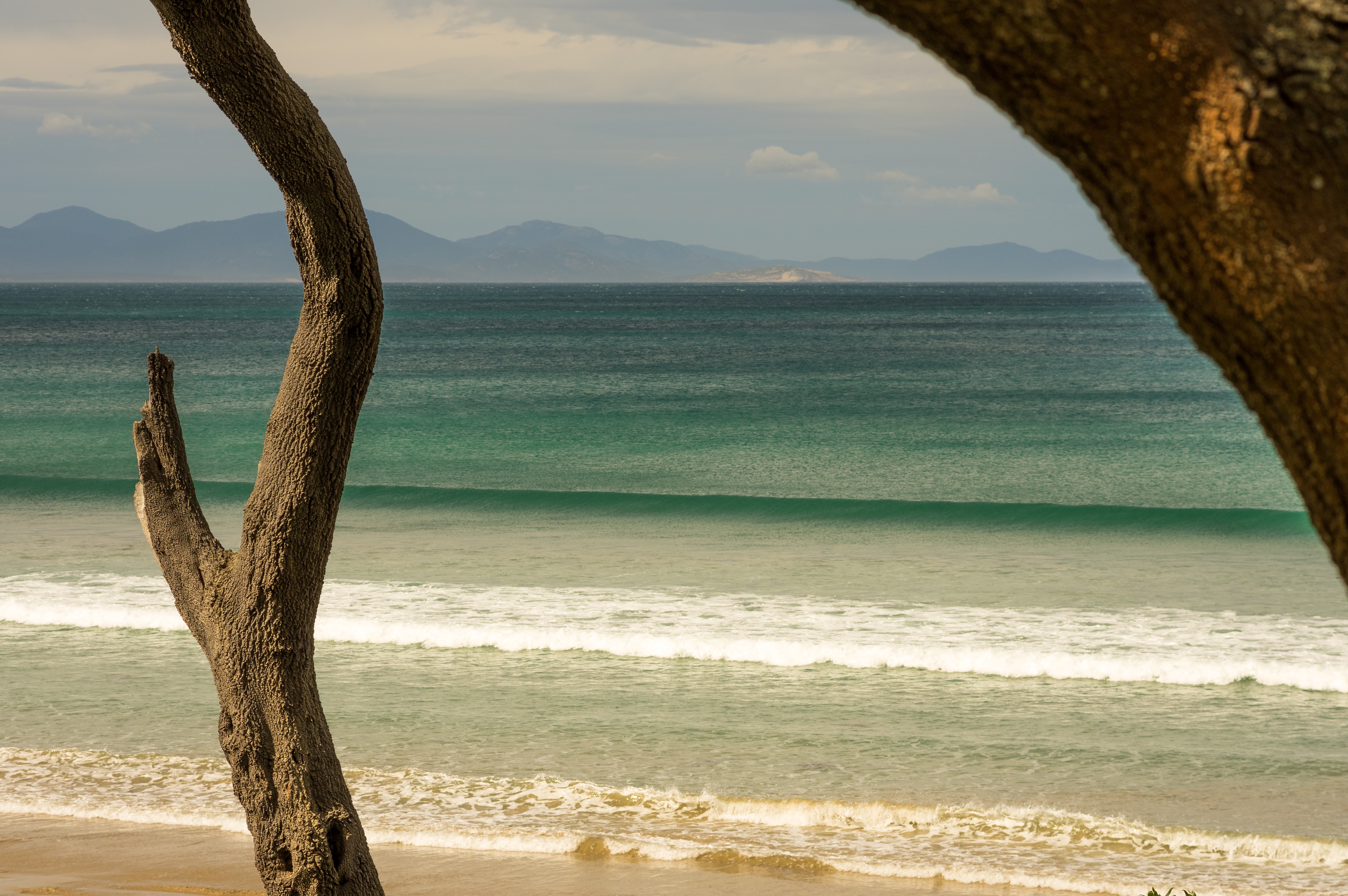
tree nature field grass landscape australia victoria sigma1020mm waratahbay d7000
Dead Fork
australia 1998 waratah wilsonspromontory november1998 scancafe
The View From Our Room At The Waratah Park Country House
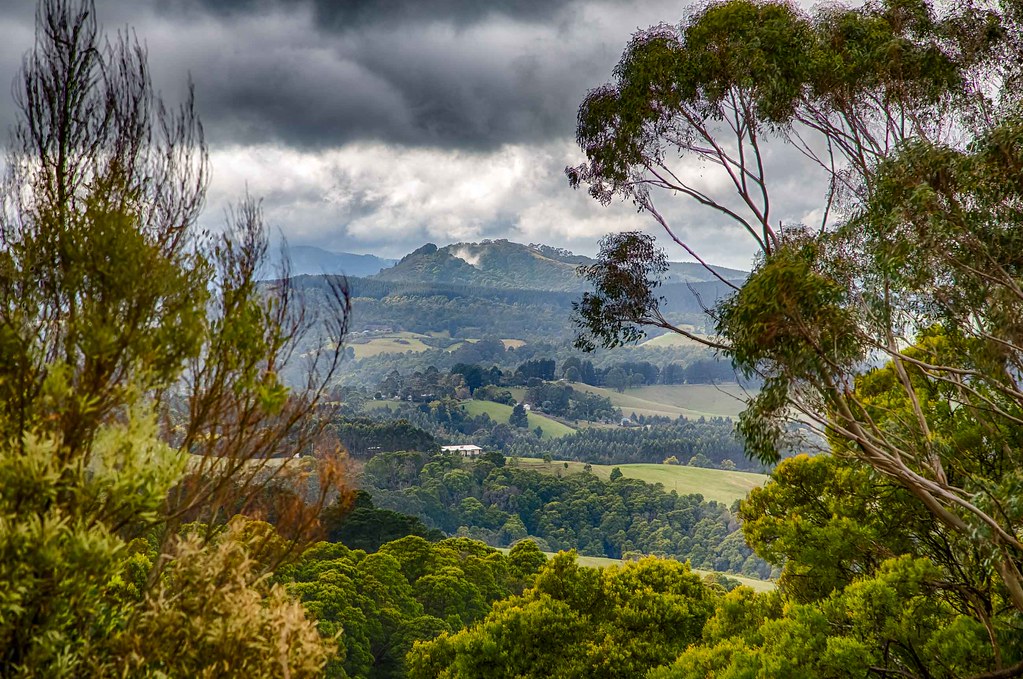
da70 pentaxk3 seascape trees waratahbay 70mm pentax
Tree view
winter australia victoria wilsonspromontory gippslandregion
Wilsons Promontory
views sea trees grass verandahs decking australia victoria gippsland waratahlodge hotels fishcreek pillars
View from Waratah Lodge Main building, Fish Creek.
australia victoria gippsland fishcreek waratahlodge views verandahs sea fields trees tables chairs decking ouraccommodation
View from the house, Waratah lodge, Fish Creek
sandypoint sand sunset sunsets beach shore sea seascape seaside ocean leongatha canon eos600d sky kissx5 rebelt3i outdoor landscape waves
sunset at Sandy Point, Victoria, Australia
flying in dawn
waratah hills winery south gippsland victoria australia eosm canon southgippsland outdoors vineyard trees vines chairs setting promcountry
Waratah Hills vineyard South Gippsland
light sea summer texture beach water lines golden bay coast nikon waves pattern shoreline australia victoria coastal shore vic coastline goldenhour shimmer gippsland lateafternoonlight sandypoint waratahbay southgippsland d5100 nikond5100 phunnyfotos
Waratah Bay
sky cloud landscape australia victoria gippsland railtrail fishcreek southgippsland
Fish Creek
sea summer people beach water lines coast sand nikon waves tide shoreline australia victoria coastal shore vic ripples gippsland sandypoint wavelets southgippsland d5100 nikond5100 phunnyfotos
Micro Waves
light sea summer landscape coast nikon australia victoria coastal vic wilsonsprom gippsland walkerville wilsonspromontory lateafternoonlight waratahbay coastalscrub southgippsland capeliptrapcoastalpark d5100 nikond5100 phunnyfotos
Wilsons Prom from Cape Liptrap Coastal Park
autumn sea people bw beach silhouette mono coast sand nikon glare australia monotone surfing shore surfers gippsland sandypoint surfinglesson surflesson d5100 nikond5100 phunnyfotos
Surfing Lesson 2
australia victoria southgippsland meeniyan rural farm sunset landscape fence
Meeniyan - sunset
gippsland aussie australian landscape lookout scenery canonaustralia canon photostitch panorama fosternorth victoria australia au
Foster Lookout
australia victoria southgippsland meeniyan sunset rural landscape orange
Meeniyan - sunset
autumn sea man beach silhouette coast nikon surf waves surfer australia surfing victoria shore surfboard vic heatwave gippsland shallows sandypoint d5100 nikond5100 phunnyfotos
Sandy Point, VIC
beach da70 pentaxk3 seascape sunrise waratahbay 70mm pentax
One colour
rain clouds cloudy cloud sand sandypoint leongatha sea seascape shore beach water waves capeliptrap liptrap cape canon eos600d rebelt3i kissx5 panorama
rain beginning out at sea
beach fa31 pentaxk3 seascape waratahbay 31mm pentax
Sand and water
aus australia biketouring foster geo:lat=3868500000 geo:lon=14615111111 geo:zip=3960 geotagged gippsland greatsouthernrailtrail gsrt hoddlerange panorama railtrail victoria
2019-04-13T13.51.25.0365_samsung
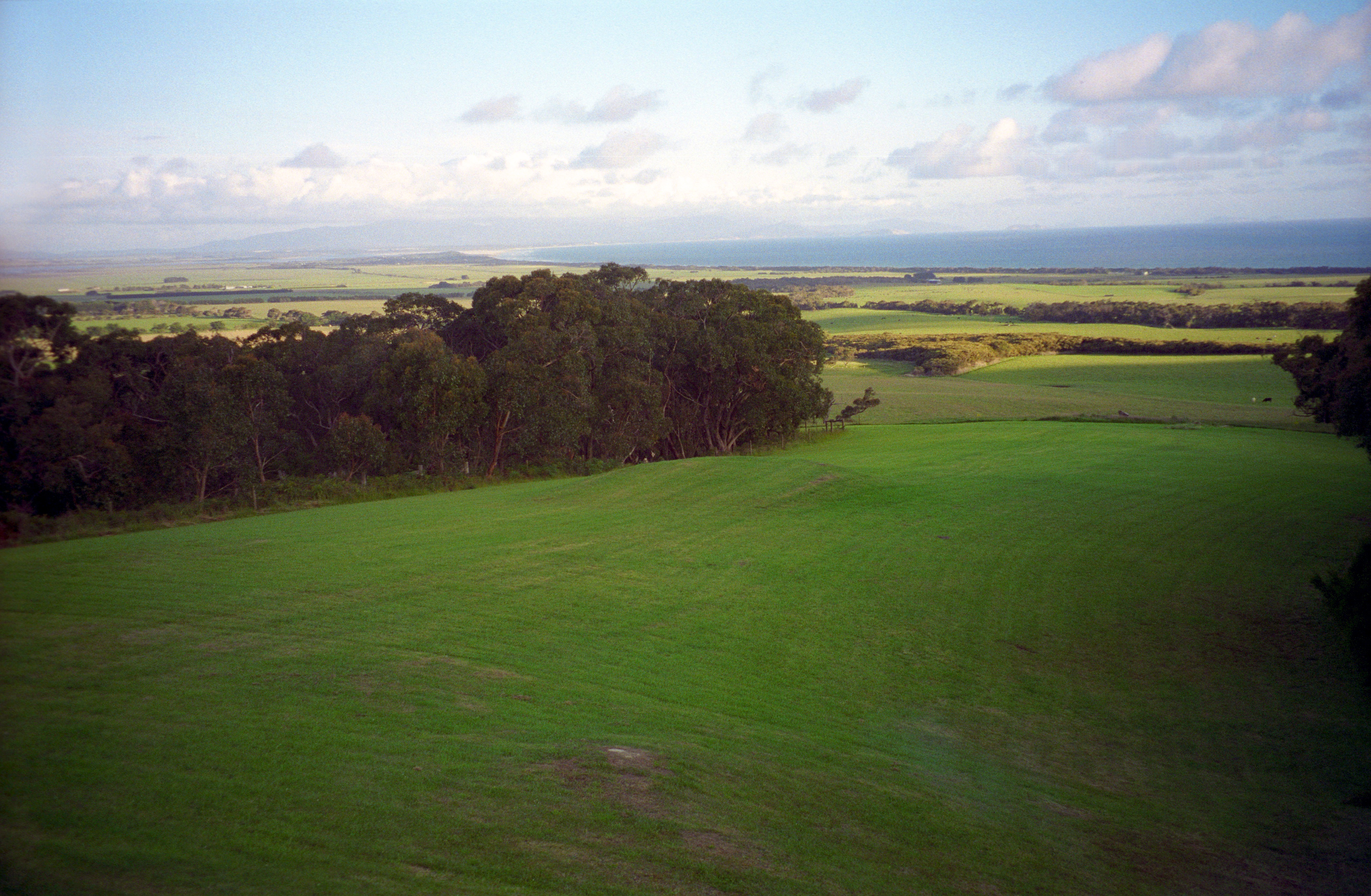
trees clouds rural fence countryside victoria hills gippsland
Hills of Gippsland