Elevation of Baromi VIC, Australia

Location: Australia > Victoria > South Gippsland Shire >

Longitude: 146.177014

Latitude: -38.402446

Elevation: 273m / 896feet

Barometric Pressure: 98KPa

Elevation Map:

elevation map of Baromi VIC, Australia

Satellite Map:

Satellite map of Baromi VIC, Australia

Related Photos:

boolarra uploaded:by=flickrmobile flickriosapp:filter=chameleon chameleonfilter
Tree View
summer sky storm weather clouds rural potatoes nikon skies farm australia stormy victoria vic crops gippsland thorpdale d5100 nikond5100 phunnyfotos gippypics
Thorpdale landscape
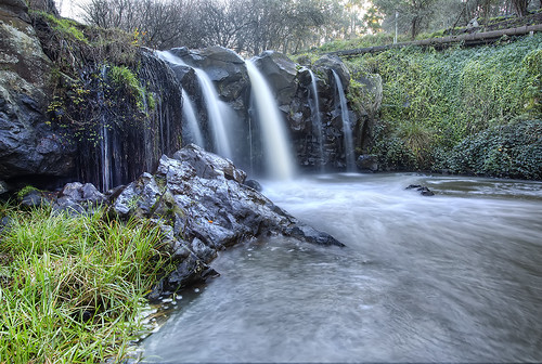
wood sun motion tree water rock canon bush stream branch falls flare 5d shrub foilage 1740 mkiii narracan
Narracan Falls - Victoria - Streamly Delightful
motion tree fall wet water grass rock canon waterfall bush long exposure branch victoria 5d hdr gippsland mkiii narracan
Narracan Falls
boolarra victoria australia gippsland wandervictoria visit playground park bluesky
Railway Park, Boolarra
victoria vic narracan sodad narracanfalls sodadbebo
Narracan Falls, Narracan VIC
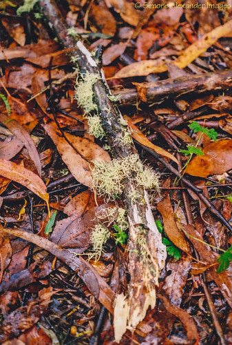
australia victoria boolarra mirboonorth railtrail leaves forest bush scanned lichen nature
Boolarra-Mirboo North rail trail
film nature landscape transport tracks australia slide victoria scan vic kodachrome aus railways filmscan southgippsland kodachromex 35mmfilmcamera yashicaj3 35mmslrcamera epsonperfection1640su yashinon50mmf2lens darlimurla
Darlimurla Track Layout
boolarra victoriaaustralia2012
Boolarra, Victoria
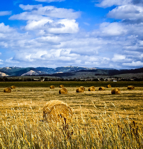
sky clouds farm australia places victoria hills hay gippsland paddocks
Cloud Shadows
rural landscape australia victoria hills gippsland mirboonorth
Hills of Mirboo
dam australia victoria farmland gippsland paddocks
Strzelecki Farmland
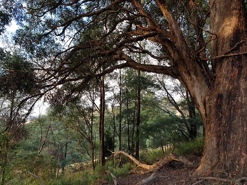
forest december walk north victoria gippsland lyrebird 2013 mirboo
Lyrebird Forest Walk
anzacday navycadets
Mirboo North, April 2011
forest december walk north victoria gippsland lyrebird 2013 mirboo
Lyrebird Forest Walk
bentkranks mirboonorthweekend boolarra victoria australia geo:lat=3834391135 geo:lon=14631984472 geotagged aus
Heading towards Churchill
Gippsland farmland near Mirboo North, Victoria, Australia.
square squareformat iphoneography instagramapp xproii uploaded:by=instagram
Self-portrait with clouds
Foster Hills, north of Foster township, South Gippsland, Victoria, Australia.