Elevation of Firestone, CO, USA

Location: United States > Colorado > Weld County >

Longitude: -104.93664

Latitude: 40.1124839

Elevation: 1516m / 4974feet

Barometric Pressure: 84KPa

Elevation Map:

elevation map of Firestone, CO, USA

Satellite Map:

Satellite map of Firestone, CO, USA

Related Photos:

trees sky plants usa cloud mountain snow mountains tree texture nature field grass clouds landscape nikon colorado colorful artistic background bluesky hills textures views backgrounds layers d80 moosebite jrgoodwin
winter breeze
reflections water ponds autumn fall foliage trees leaves forest colorful colorado beautiful views nature landscapes coloradolandscapes scenic travel jamesinsogna seasons erie unitedstates
Colorful Autumn Pond Reflections
railroad train colorado railway trains railfan railroads manifest railfanning streetrunning bnsfrailway gec449w coloradorailroads coloradotrains gees44c4
Front Yard View
sunset colorado longmont longspeak frontyard frontrange mountmeeker
Colorado sunset
abstract
Street View
museum architecture colorado lego foitsop imaginerigney thelongmontmuseum
Longmont Museum Right Corner View
storms thunderstorms severethunderstorms clouds scenic travel views overlook coloradonaturelandscapes nature landscapes lightning sky monsoon extremeweather bouldercounty colorado jamesinsogna photography longmont unitedstates farms farming agriculture
Hooking The Moon
trees sky graveyard clouds rural canon vintage fence landscape colorado cemetary graves erie textured gravelroad fenceline t1i
lonely stone
bw rural canon fence square wire colorado cemetary aged damaged textured wirefence texturesquared t1i fencefriday fencedfriday boldercounty
unseen influences
canon geotagged 3d stairway stereo mapped redcyan analgyph sd1000
Sukup staircase in 3D
canon landscape geotagged 3d colorado country boulder stereo co farms hyper mapped twincam twinned redcyan hyperstereo analgyph sx110is
Sunflower Field (3D)
railroad train canon geotagged 3d diesel engine rr stereo mapped redcyan analgyph sd1000
Santa Fe 656 in 3D
horses canon geotagged 3d stereo mapped redcyan analgyph sd1000
3D Horses
field canon landscape geotagged 3d corn colorado country boulder stereo sunflower co farms mapped twincam twinned redcyan analgyph sx110is
Corn Field (3D)
driving bridge interstate 25 co colorado mirror rearview traffic essence rearviewmirror
Roads in in the grassland
tractor canon geotagged 3d colorado antique longmont case steam stereo mapped twincam twinned redcyan analgyph sx110is
Case Steam Engine Tractors (3D)
railroad train canon geotagged 3d tracks rr stereo mapped redcyan analgyph sd1000
Train Tracks in 3D
moon mountain sunrise multiple d700 70200mmf28gvrii
Moon over Longs Peak
52weekalternate
52 Project - wk20 - #3
horse canon geotagged 3d stereo mapped redcyan analgyph sd1000
3D Horse
window canon landscape geotagged 3d colorado country floating boulder stereo co farms mapped twincam twinned redcyan analgyph floatingwindow sx110is
Country Road (3D)
sunset summer landscape colorado longmont july
July Sunset & Fields
sunset colorado longmont sunflower
Long's Peak Sunset and Sunflowers
sunset shadow storm field clouds fence wheat horizon prairie agriculture
Prairie Sunset - Weld County, Colorado
blue trees winter sky plants cloud mountain snow mountains tree texture nature birds clouds fence landscape nikon colorado colorful artistic background grunge flight bluesky textures backgrounds d80 moosebite jrgoodwin
promises...
rays crops farm frontrange longspeak rockymountains mead weldcounty alfalfa ranch agriculture foothills coloradophotography coloradolandscapephotography farmphotography frontrangephotography landscape
"Rays"ing Crops - Weld County, Colorado
sunset sky green
Roosevelt Park
day longmont pwpartlycloudy
The field east of Roger's place
landscape colorado longmont
Spring Storms - Longmont CO
tree longmont 169
An Old Tree (detail)
barn shed cottonwood plains frontrange colorado weldcounty mead agriculture farm ranch historicbuilding frontrangephotography coloradophotography farmphotography coloradolandscape
Among the Cottonwoods - Weld County, Colorado
sky nature weather skyscape landscape photography landscapes gallery forsale decorative fineart scenic wallart galleries posters stockphotos bolts lightning striking storms legacy stockimages naturephotography timedexposure canvasart canvasprints strikingphotography buyprints coloradonaturephotography boinsogna thelightningmancom strikingphotographycom insogna thelightningman jamesinsogna coloradolightningstorms
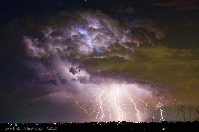
Highway 52 Storm Cell - Two and a Half Minutes Lightning Strikes
sky usa clouds canon catchycolors corn colorado unitedstatesofamerica denver erie cornmaze andersonfarms
Corn and Blue Sky
frontrange travel colorado rockymountains nature landscapes coloradolandscapes art imageslicensing colorful sky cloudscapes weather jamesinsogna gallery artwork erie unitedstates
Front Range Sunset
rural colorado farming co farms redbarns rurallife weldcounty ftluptonco weldcountyco
the Euser Barns
rain clouds rainbow corn colorado day storms
corny rainbow
Watching the weather roll in over the Rockies
mountains night dark evening twilight colorado dusk longmont pale longspeak
Long's Peak
light sky nature clouds canon stars photography landscapes scenery fineart scenic highways lighttrails lightning roads storms startrails thunderhead thunderbolt lightningbolts jamesboinsogna thelightningman
Double Yellow Storm Chase