Elevation of Field Loop Rd, Georgetown, SC, USA
Location: United States > South Carolina > Georgetown County > Georgetown >
Longitude: -79.297469
Latitude: 33.4249509
Elevation: 16m / 52feet
Barometric Pressure: 101KPa
Elevation Map:
Satellite Map:
Related Photos:
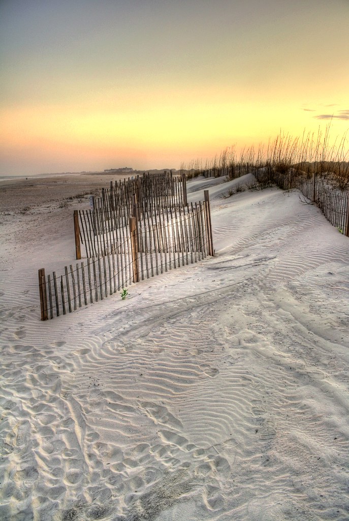
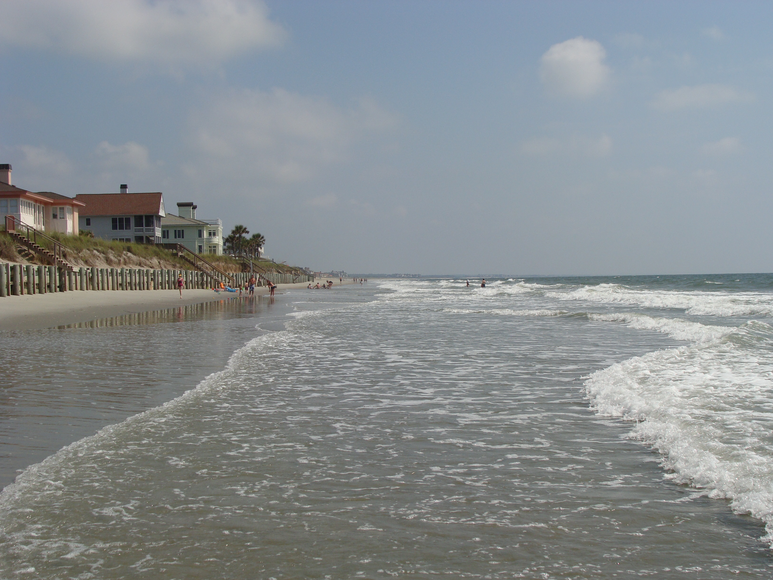
sand trap

View-A-20_Sarver_NIWBNERR

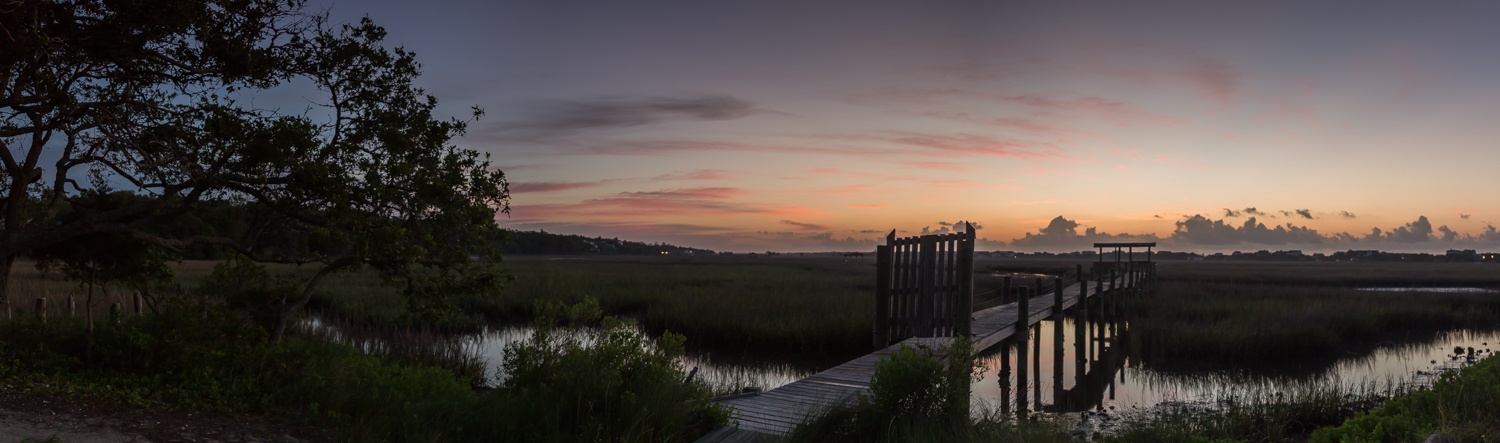
Epic view from the bridge

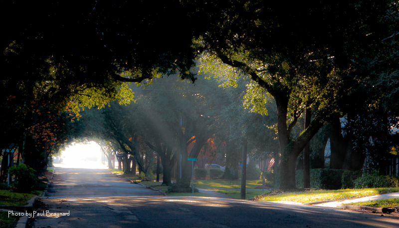
morning fog
pawleys island 1986 - port arthur long view
Sunrise on Meeting Street

The Hunts, Polks and McLaurins Panorama
I've had worse hotel views.

Sowing is not as Difficult as Reaping

2013.09.26 95K Views

View from the back
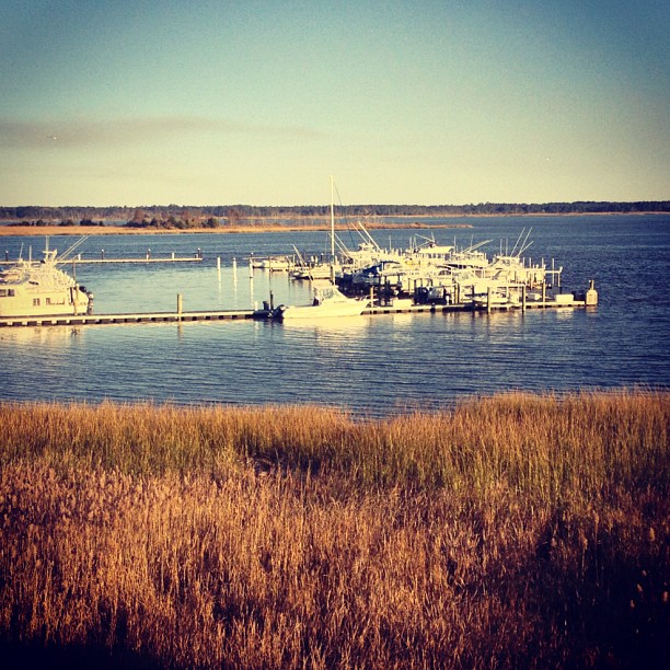
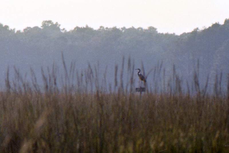
21SEP11: Caledonia marsh
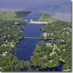
Aerial View of Property - Yacht Club at Belle Isle

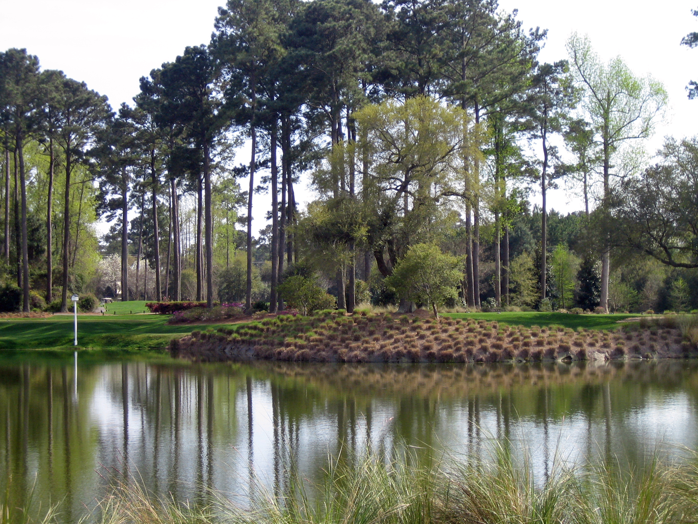
where life slows down
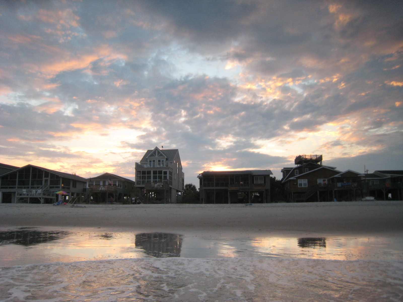
Houses at Pawleys

Fort Reynolds side view
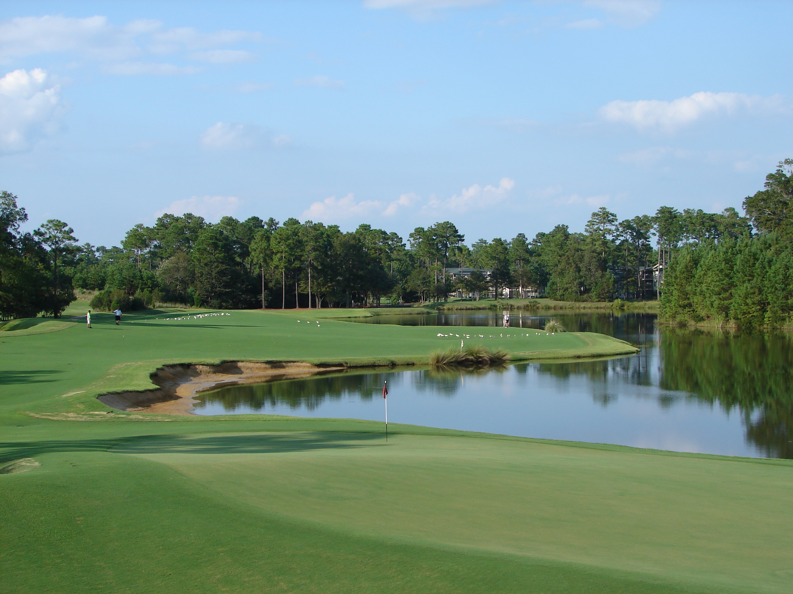
18th at True Blue as Viewed from Clubhouse

35mm Black and White (1974)
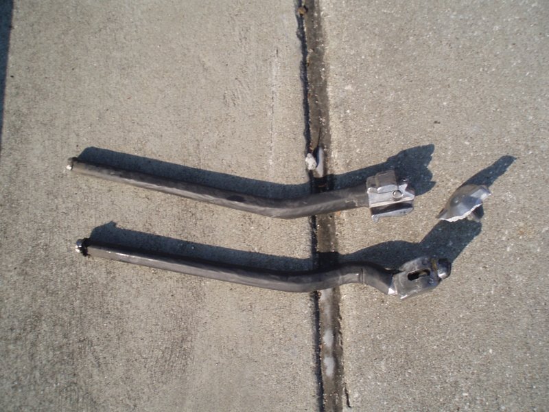
My kickstand broke--SHUCKS!
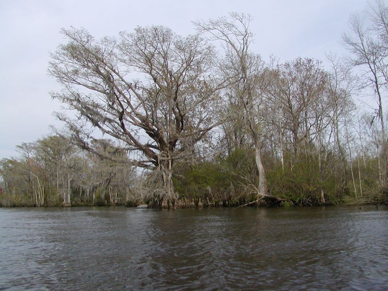
Waccamaw River Cypress Trees
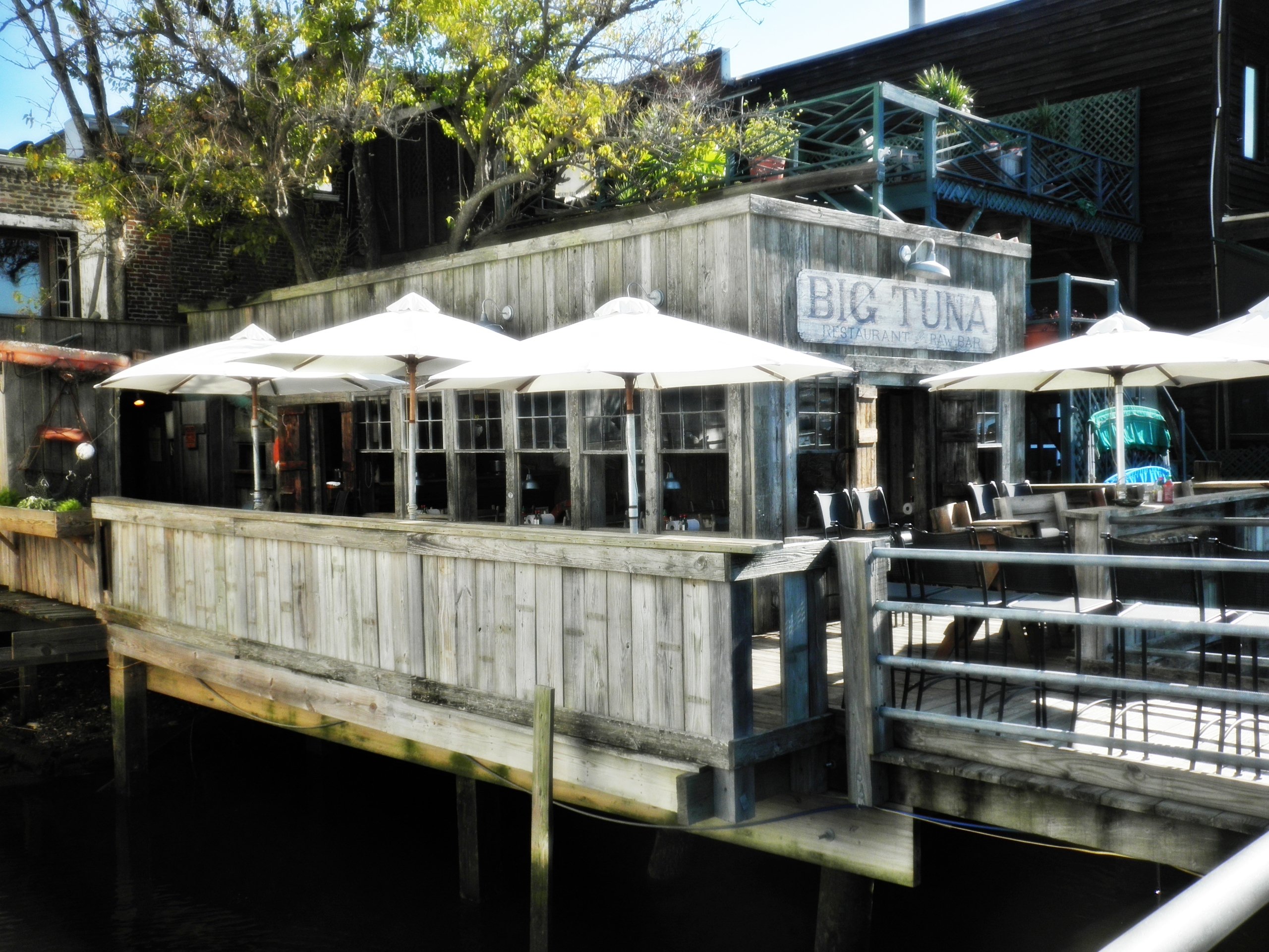
View of the Big Tuna from the boardwalk

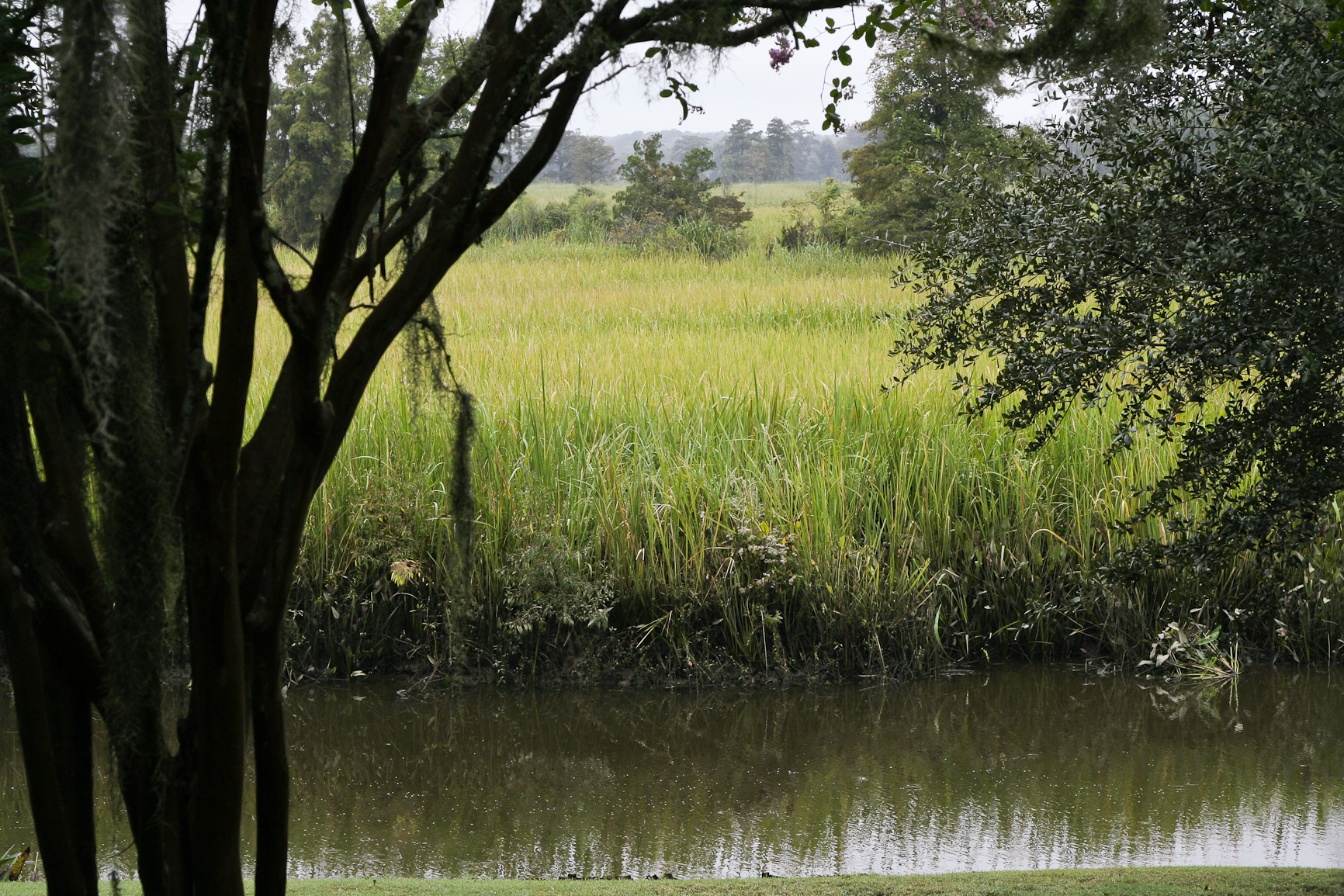
Pawleys Marsh

God's painting again! ????@Cjpix . @sunset_stream @sunset_madness @sunset_stream @ig_shotz_sunset @bestshotz_sunset @tgif_sunset @sunsets_oftheworld #tbt #follow #follow4follow #picoft

morning marsh
2014-09-02 13.40.59
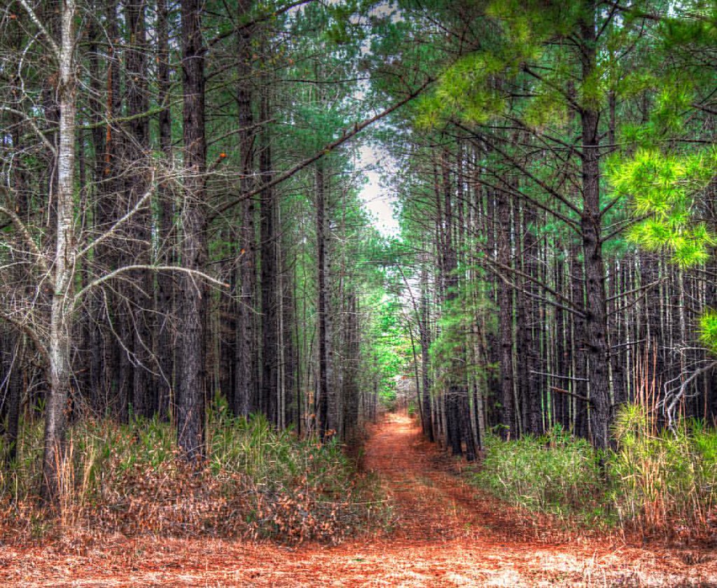
In to the woods

marsh bw

thru the rails

Pawleys Island perfect

Pawleys Sunrise
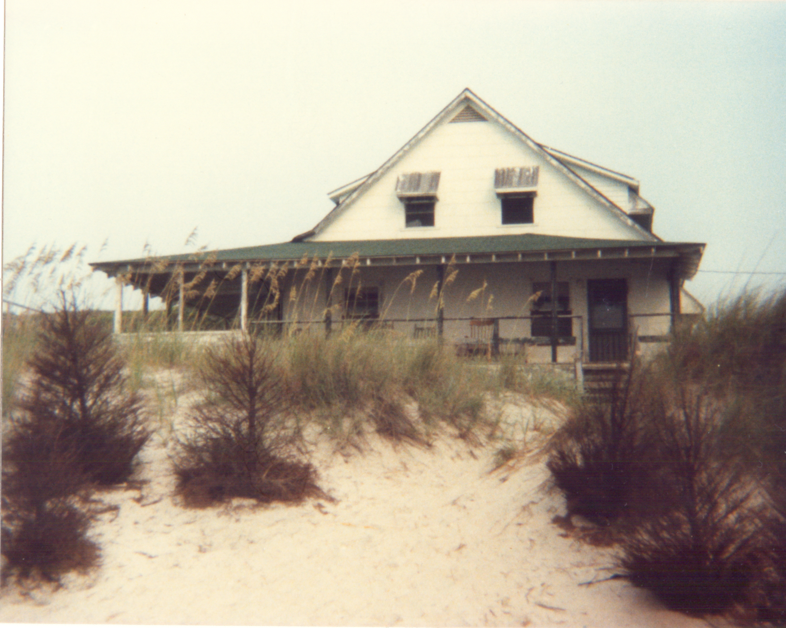
Pawleys Island Marsh, ca. 1980

Dawn at the Jetty - 2

sunrise on the Atlantic
marsh pano
2007 Myrtle Beach 033

"Run Agroung" #hdr_dr #hdr_pics #hdrspotters #hdr_lovers #tgif_hdr #fx_hdr #awesome_hdr #decay #boat #fishing #church #sunset_madness #sunsetlovers #birds #fishingdock #fishingdaily #kayakfishing #kayakfishing

Dawn at the Jetty - 1

Sunrise on the Waccamaw.

Pawley's Plantation
beach2009 040

sunrise on the Atlantic
Topographic Map of Field Loop Rd, Georgetown, SC, USA
Find elevation by address:

Places near Field Loop Rd, Georgetown, SC, USA:
Georgetown County
336 Browns Ferry Rd
576 Pringle Ferry Rd
69 Jessamine St
2261 Brier St
Rose Avenue
1908 Seitter St
273 Forest Ave
1900 Jasper St
359 Forest Ave
1864 Pickens St
1899 Sumter St
2nd Avenue, Georgetown, SC, USA
78 Mormon Ln
71 Athens Loop
568 Wildewood Ave
1016 2nd Avenue
526 Francis Parker Rd
872 County Rd S-22-71
776 County Rd S-22-71
Recent Searches:
- Elevation of Corso Fratelli Cairoli, 35, Macerata MC, Italy
- Elevation of Tallevast Rd, Sarasota, FL, USA
- Elevation of 4th St E, Sonoma, CA, USA
- Elevation of Black Hollow Rd, Pennsdale, PA, USA
- Elevation of Oakland Ave, Williamsport, PA, USA
- Elevation of Pedrógão Grande, Portugal
- Elevation of Klee Dr, Martinsburg, WV, USA
- Elevation of Via Roma, Pieranica CR, Italy
- Elevation of Tavkvetili Mountain, Georgia
- Elevation of Hartfords Bluff Cir, Mt Pleasant, SC, USA