Elevation of Brier St, Georgetown, SC, USA
Location: United States > South Carolina > Georgetown County > Georgetown >
Longitude: -79.294487
Latitude: 33.407134
Elevation: 5m / 16feet
Barometric Pressure: 101KPa
Elevation Map:
Satellite Map:
Related Photos:
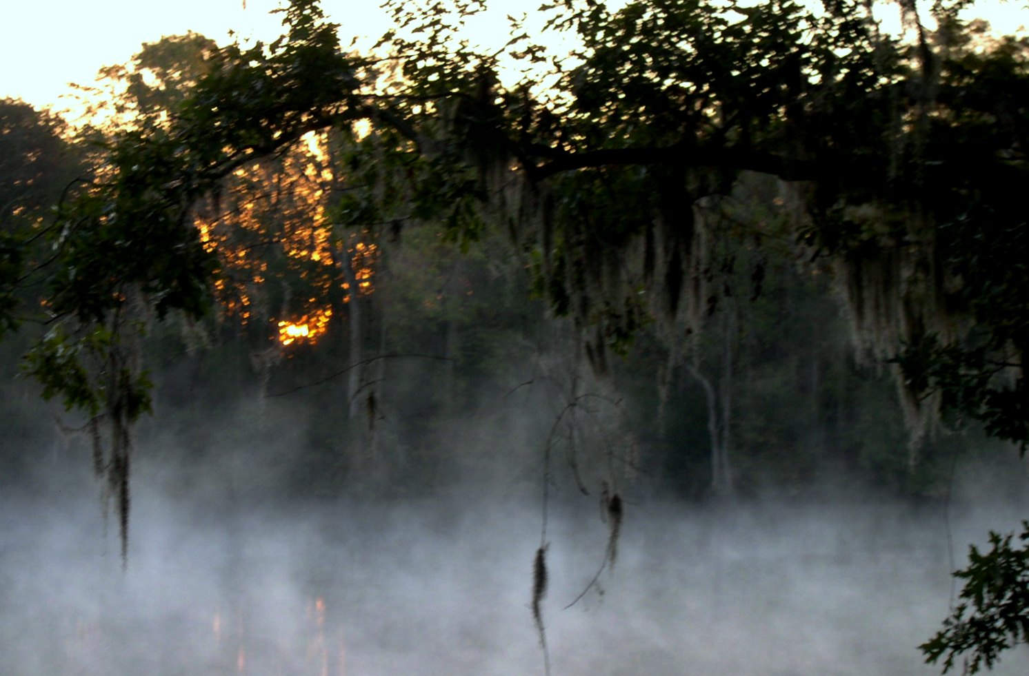
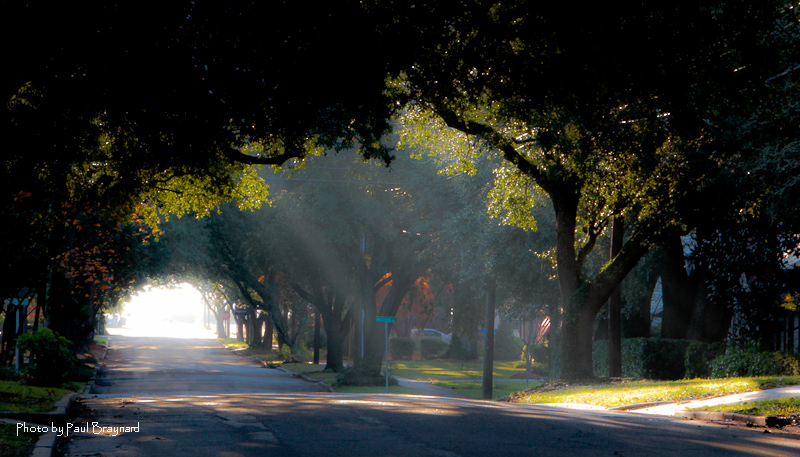
morning fog

2013.09.26 95K Views
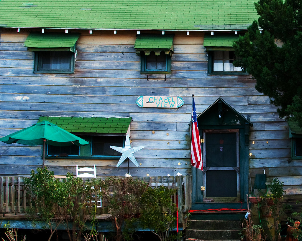
Chapel View

Epic view from the bridge
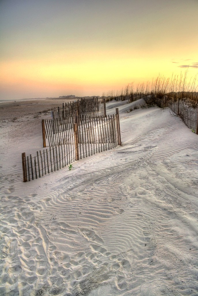
sand trap
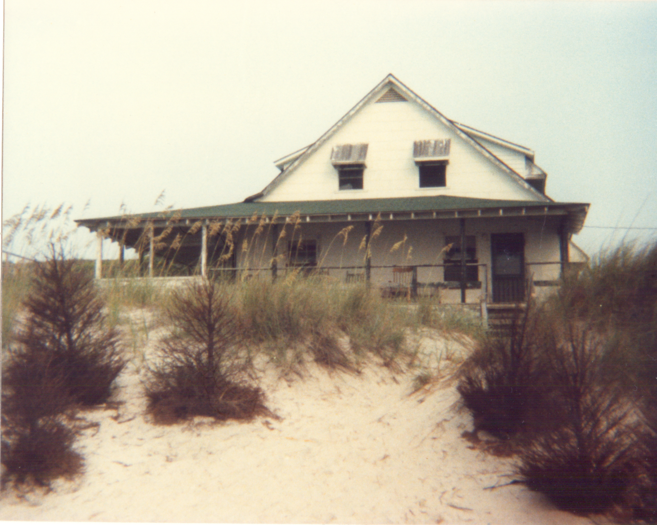
pawleys island 1986 - port arthur long view
Sunrise on Meeting Street
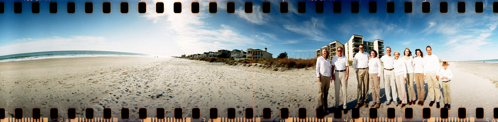
The Hunts, Polks and McLaurins Panorama
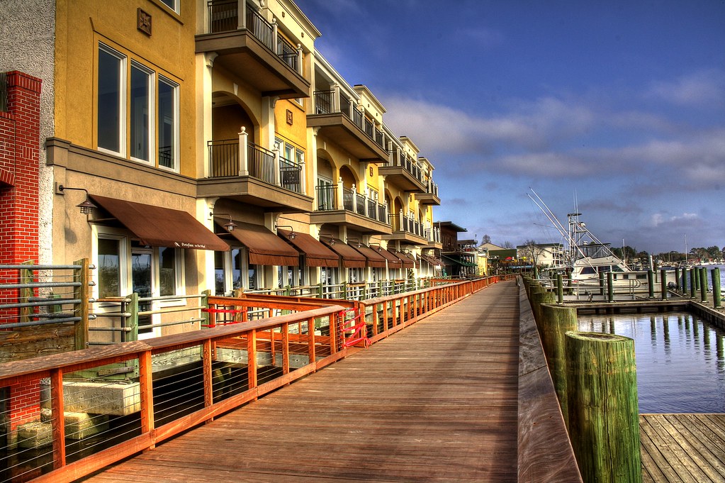
Shop, Dine or Sail?
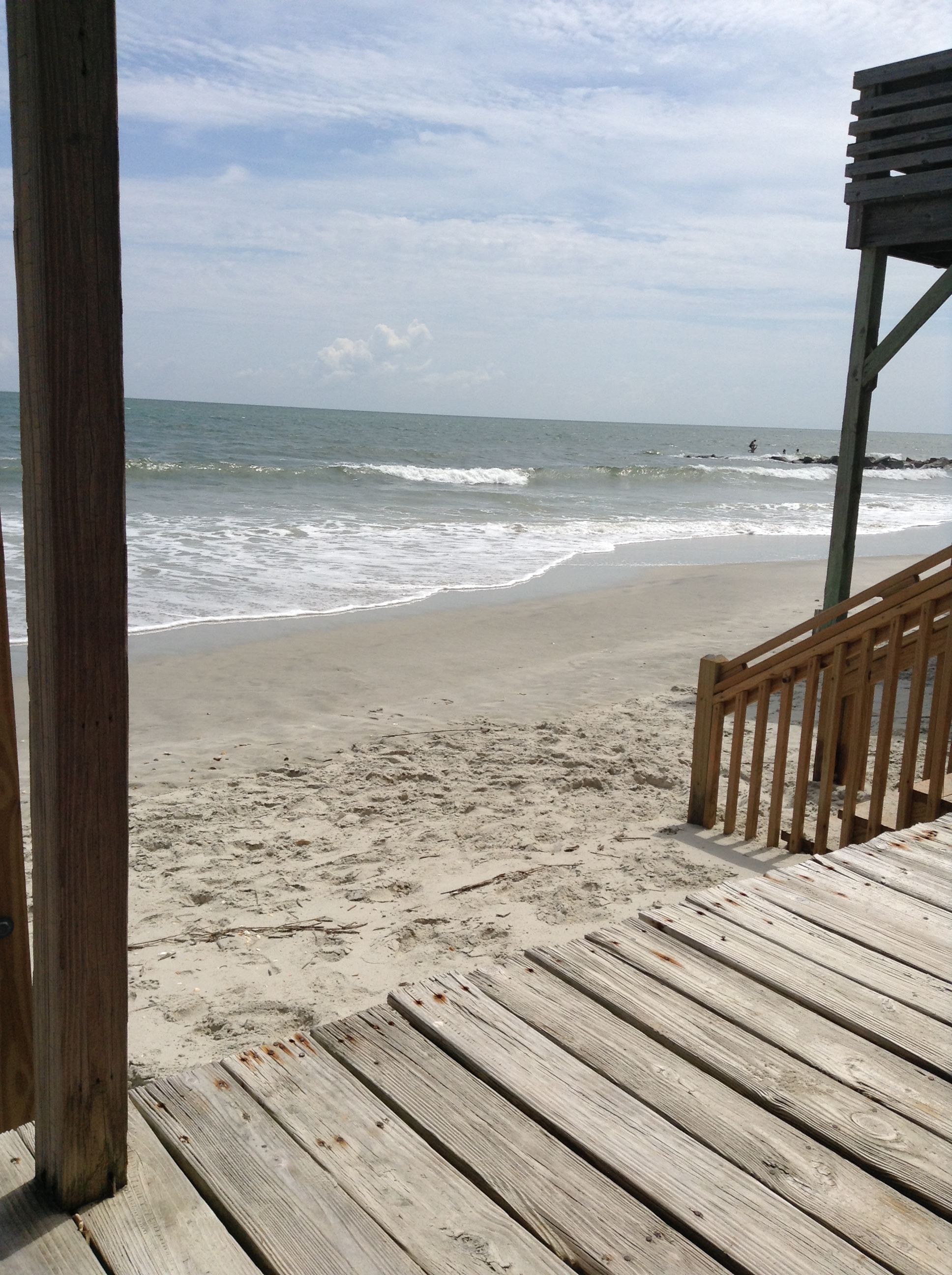
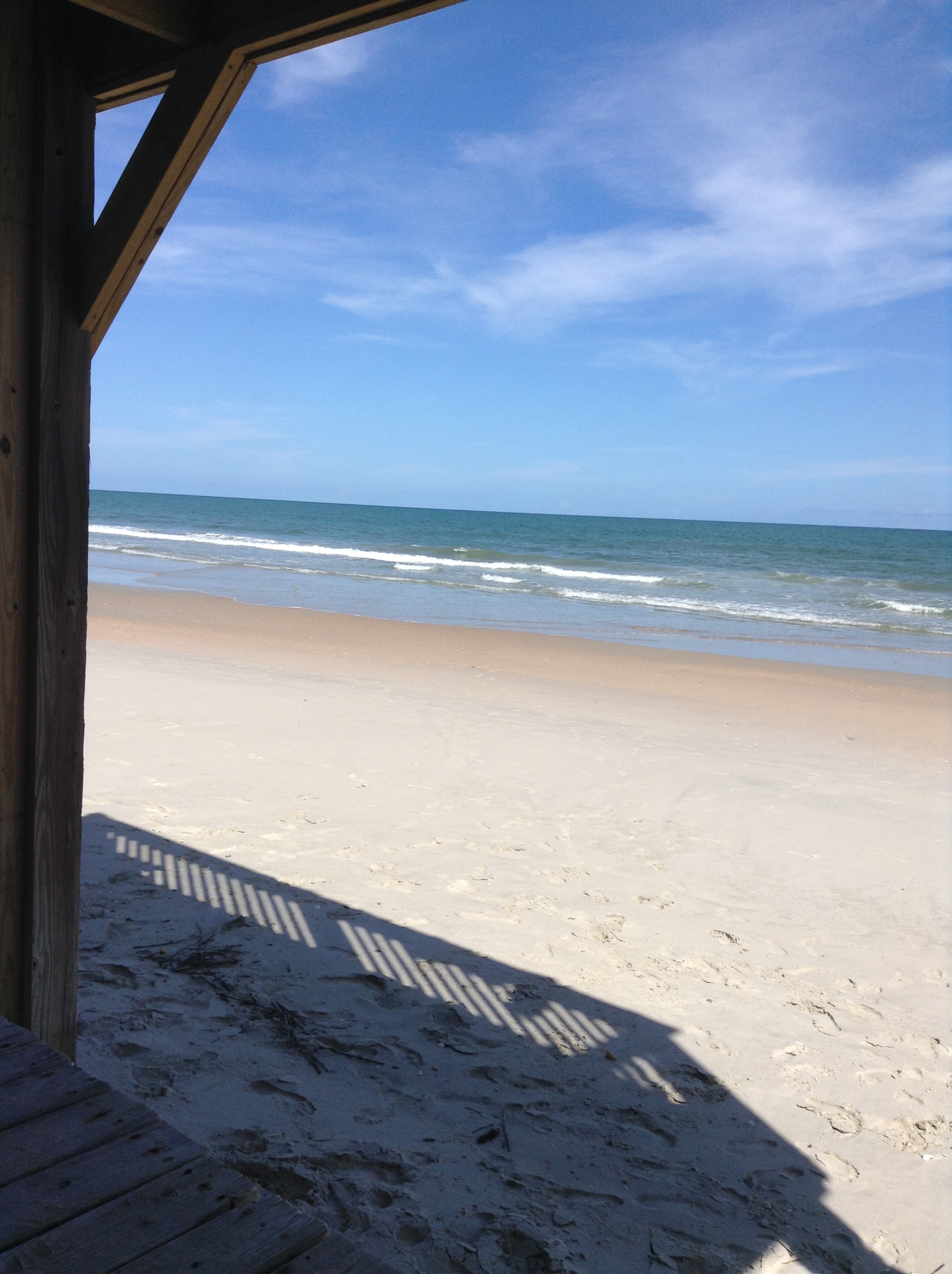
I've had worse hotel views.
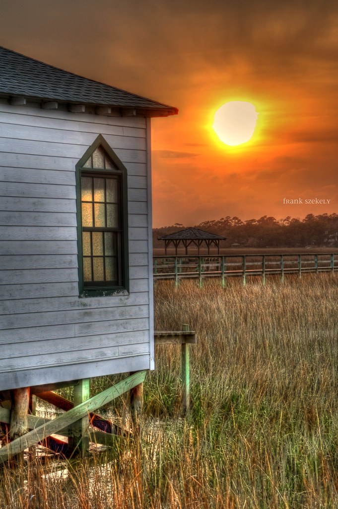
setting sun

Window view

View from the front

View from the back
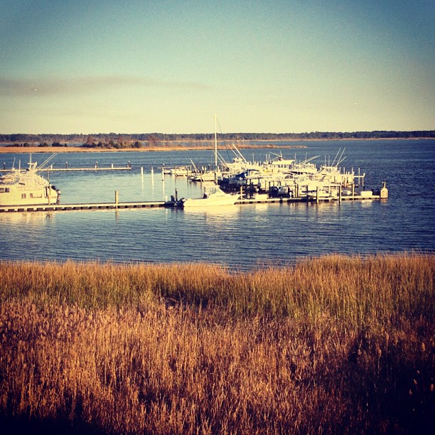
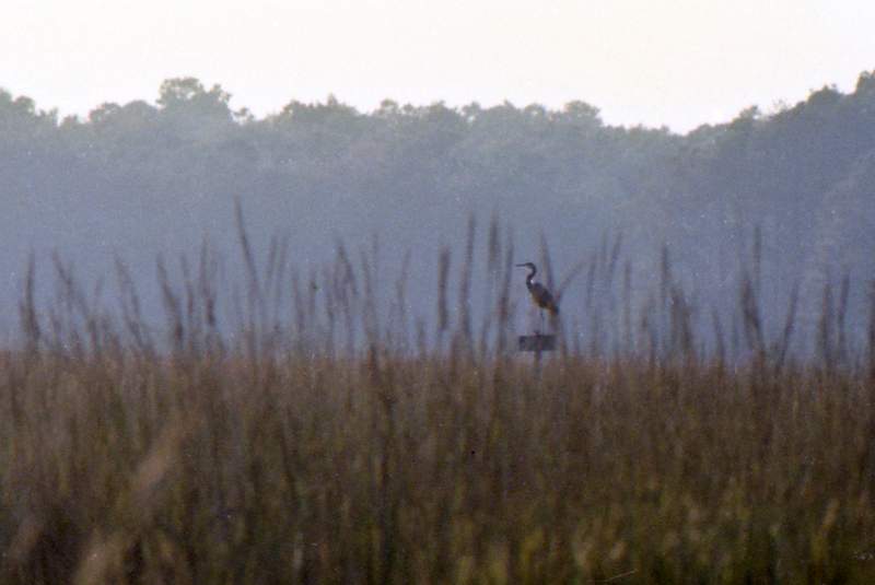
21SEP11: Caledonia marsh
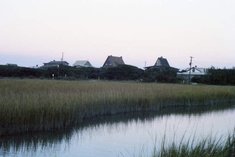
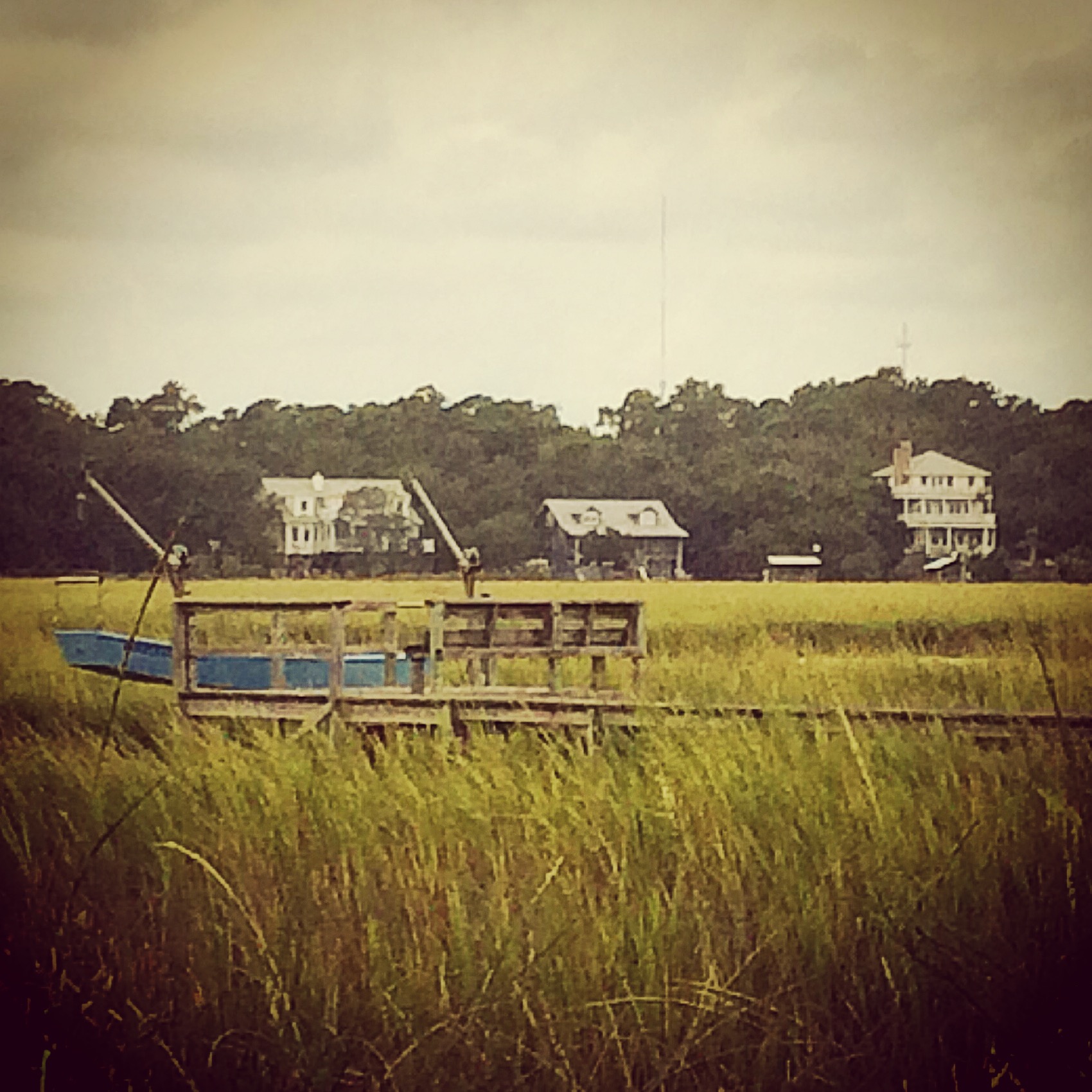
View from the Marsh, ca. 1980

The view from the hammock.
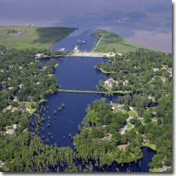
Aerial View of Property - Yacht Club at Belle Isle
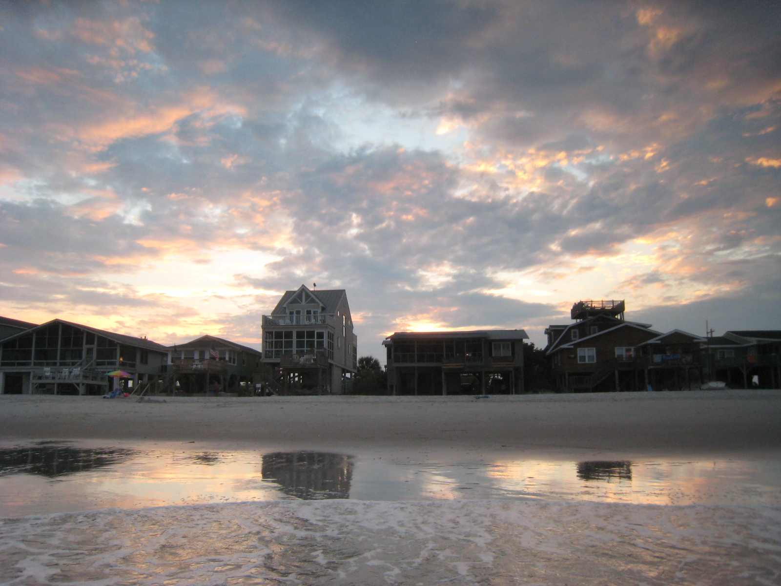
Houses at Pawleys
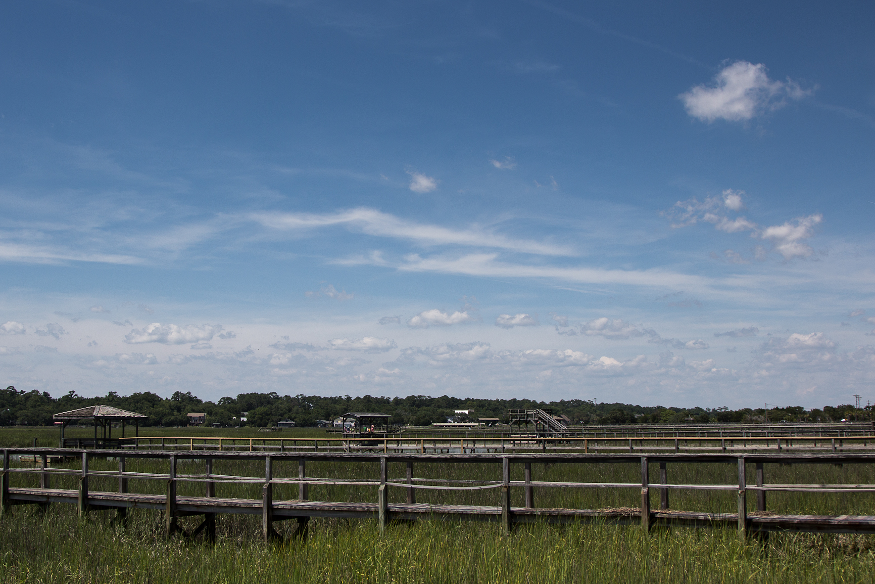
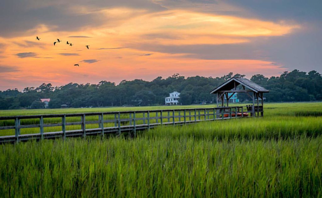
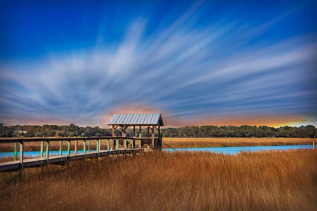
14JUN12: boardwalks and sky
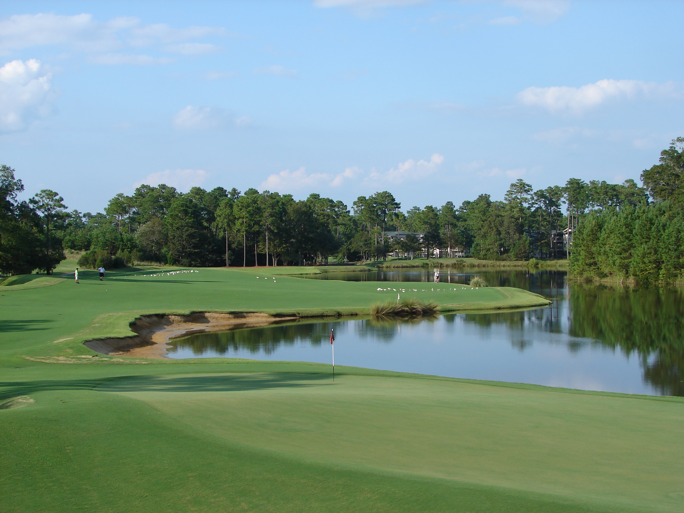
18th at True Blue as Viewed from Clubhouse
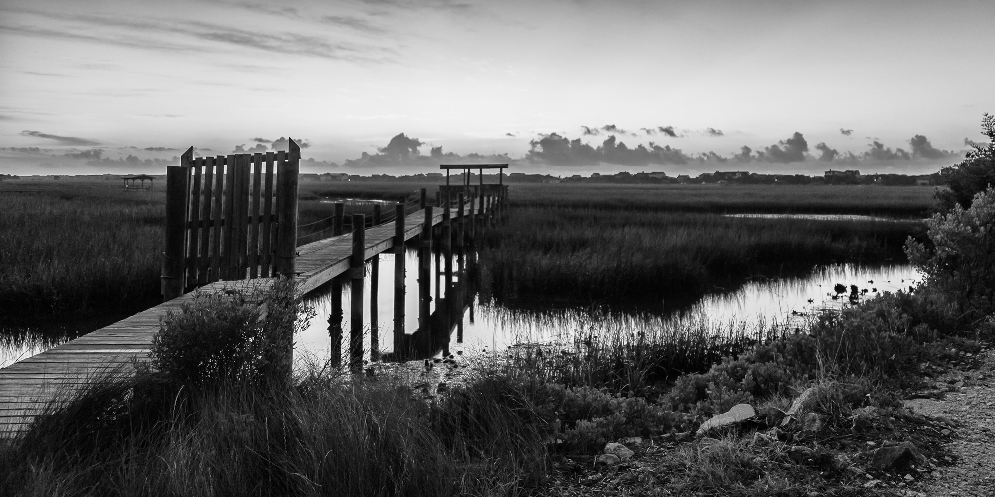
marsh bw

thru the rails
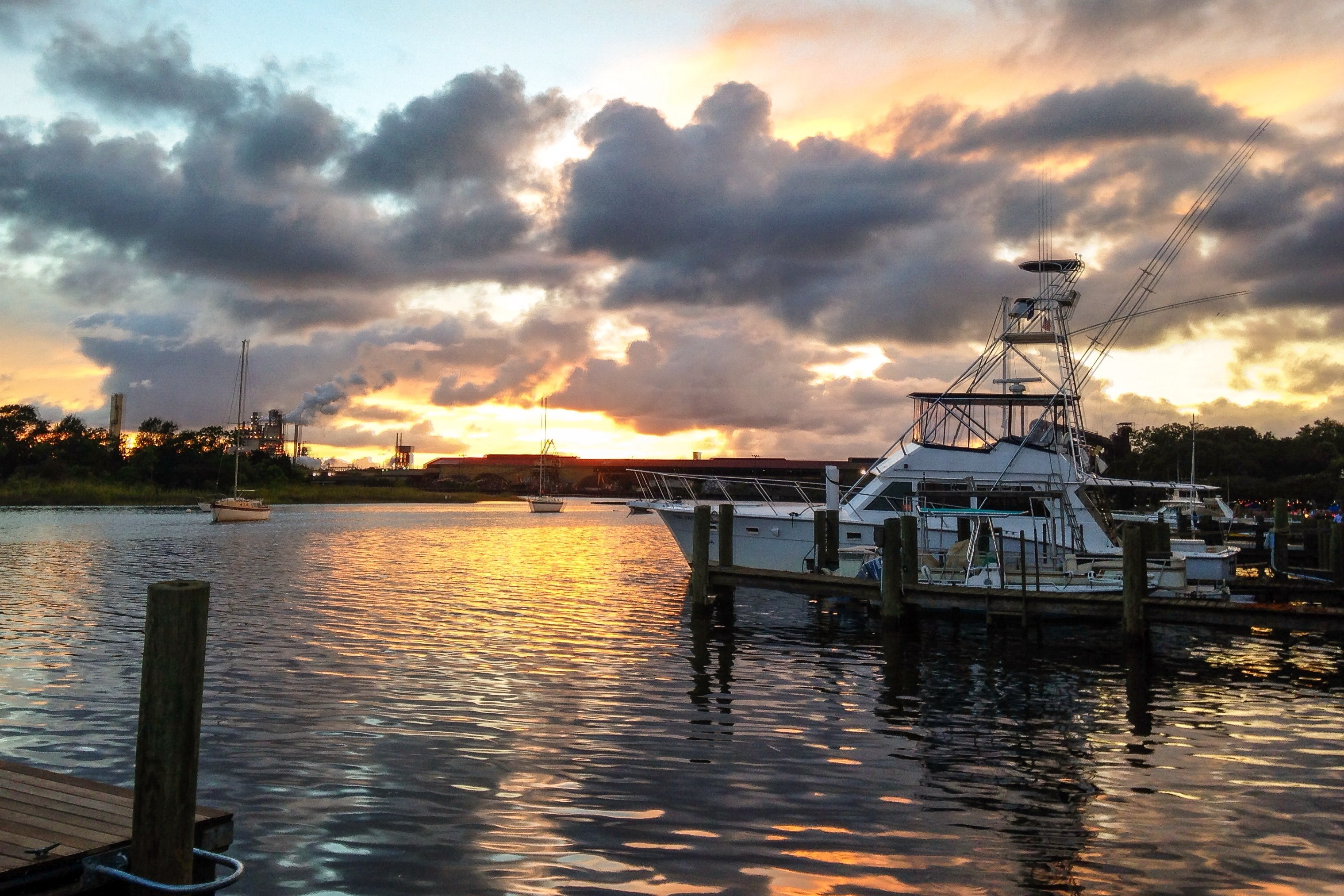
iPhone - Georgetown Waterfront Sunset HDR

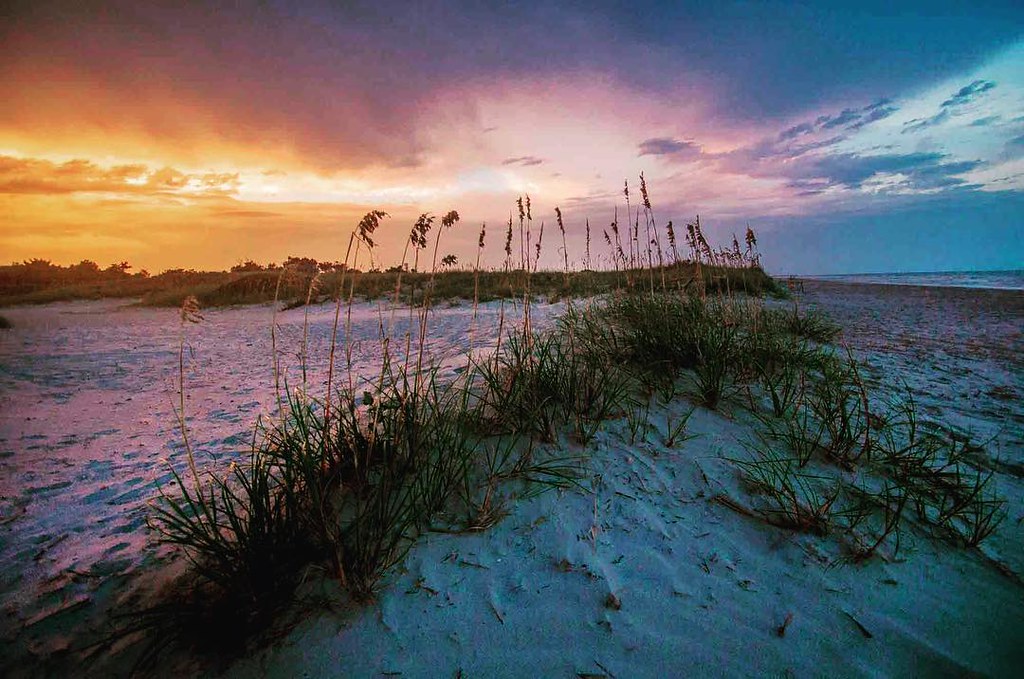
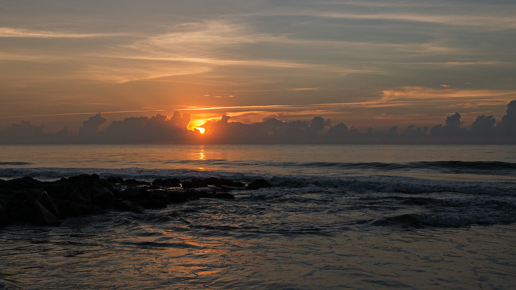
sunrise on the Atlantic

Pawleys Island Sunrise
Pawleys Marsh

morning marsh
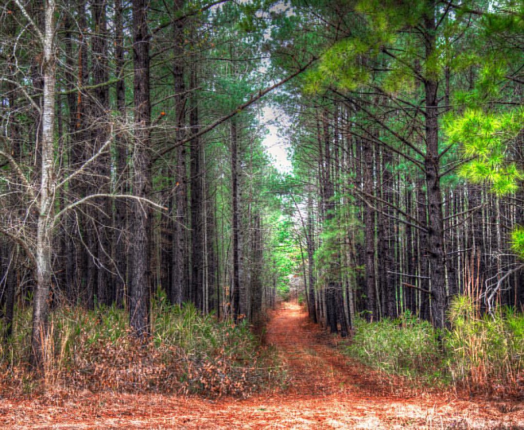
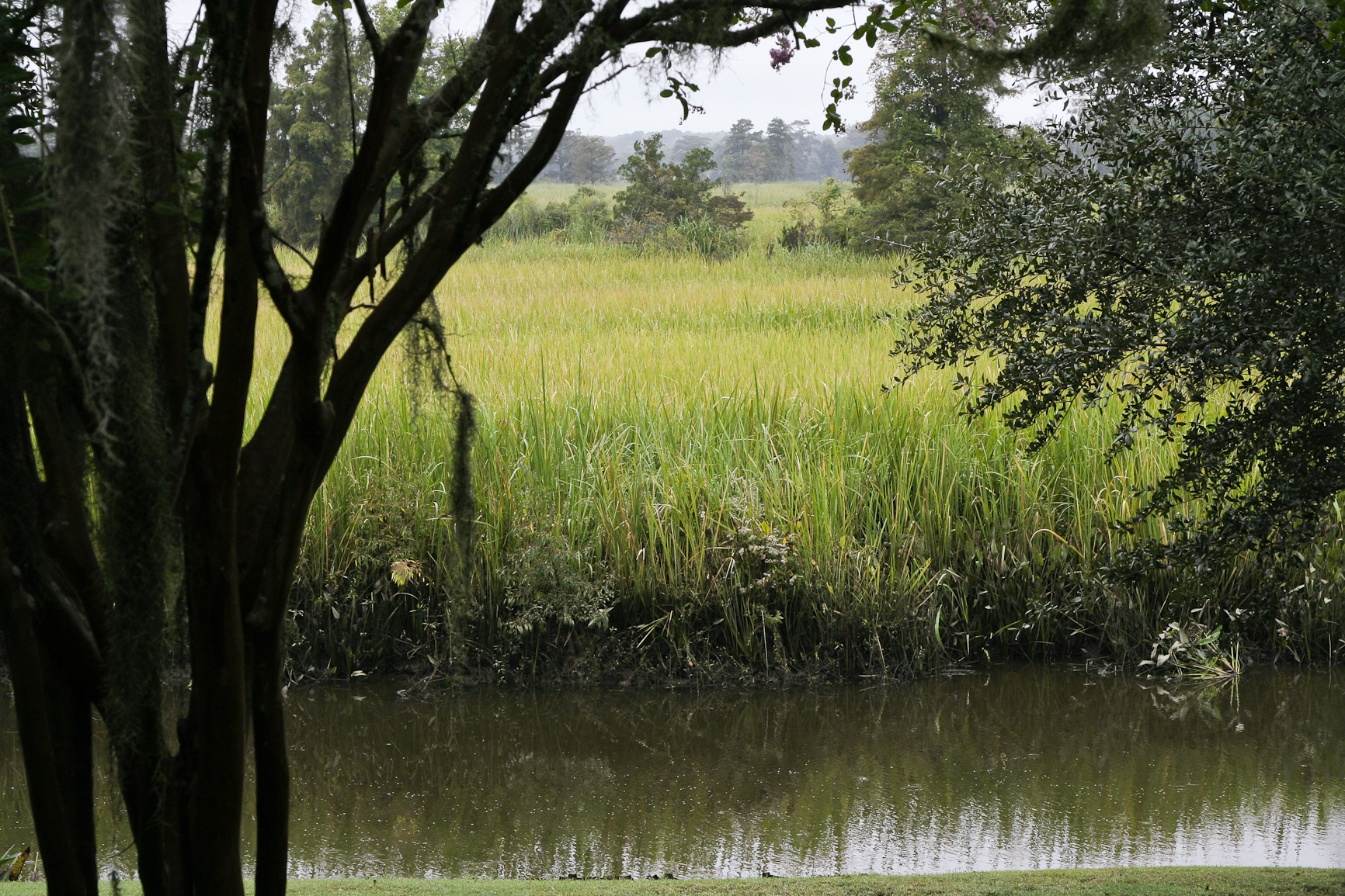
In to the woods
God's painting again! ????@Cjpix . @sunset_stream @sunset_madness @sunset_stream @ig_shotz_sunset @bestshotz_sunset @tgif_sunset @sunsets_oftheworld #tbt #follow #follow4follow #picoft
2014-09-02 13.40.59

sunrise marsh-2
Pawleys Island perfect
Pawley's Island
marsh pano
Pawleys Sunrise

"Run Agroung" #hdr_dr #hdr_pics #hdrspotters #hdr_lovers #tgif_hdr #fx_hdr #awesome_hdr #decay #boat #fishing #church #sunset_madness #sunsetlovers #birds #fishingdock #fishingdaily #kayakfishing #kayakfishing
Pawleys Island Marsh, ca. 1980

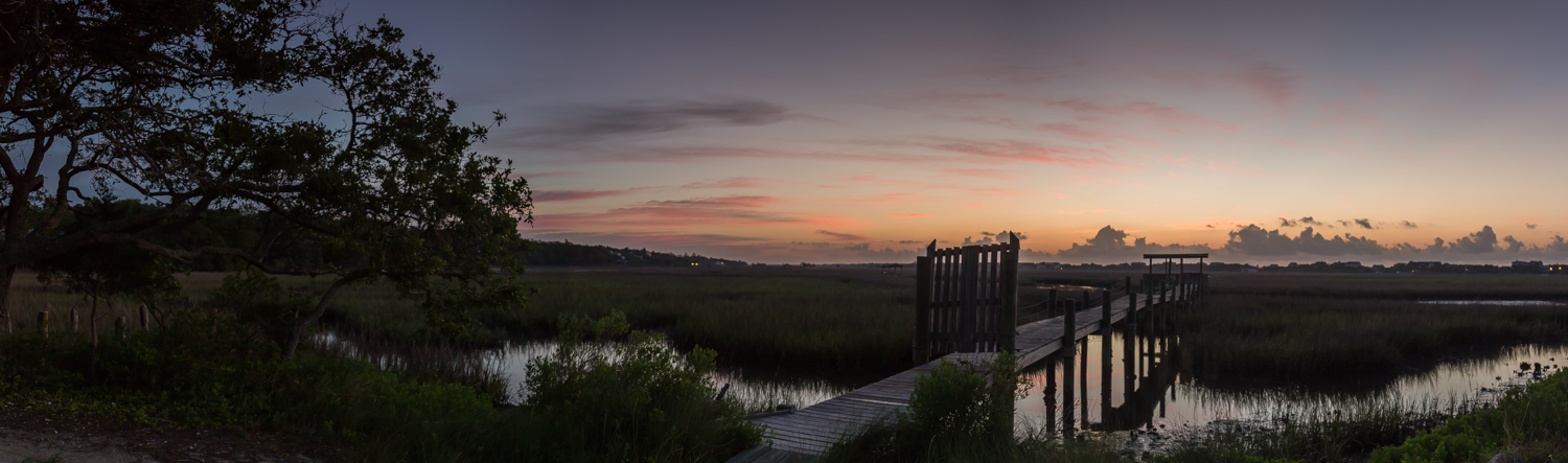
along the Pee Dee, dawn

Dawn at the Jetty - 2
2014-08-31 15.37.36
Topographic Map of Brier St, Georgetown, SC, USA
Find elevation by address:

Places near Brier St, Georgetown, SC, USA:
Rose Avenue
69 Jessamine St
1908 Seitter St
1900 Jasper St
273 Forest Ave
1864 Pickens St
1899 Sumter St
359 Forest Ave
Georgetown County
336 Browns Ferry Rd
71 Athens Loop
568 Wildewood Ave
129 Field Loop Rd
2nd Avenue, Georgetown, SC, USA
1016 2nd Avenue
415 Grand Oak Dr
1156 2nd Avenue
576 Pringle Ferry Rd
776 County Rd S-22-71
872 County Rd S-22-71
Recent Searches:
- Elevation of Corso Fratelli Cairoli, 35, Macerata MC, Italy
- Elevation of Tallevast Rd, Sarasota, FL, USA
- Elevation of 4th St E, Sonoma, CA, USA
- Elevation of Black Hollow Rd, Pennsdale, PA, USA
- Elevation of Oakland Ave, Williamsport, PA, USA
- Elevation of Pedrógão Grande, Portugal
- Elevation of Klee Dr, Martinsburg, WV, USA
- Elevation of Via Roma, Pieranica CR, Italy
- Elevation of Tavkvetili Mountain, Georgia
- Elevation of Hartfords Bluff Cir, Mt Pleasant, SC, USA