Elevation of Ferrobank, Emalahleni, South Africa
Location: South Africa > Mpumalanga > Nkangala > Emalahleni >
Longitude: 29.1652303
Latitude: -25.852197
Elevation: 1534m / 5033feet
Barometric Pressure: 84KPa
Elevation Map:
Satellite Map:
Related Photos:
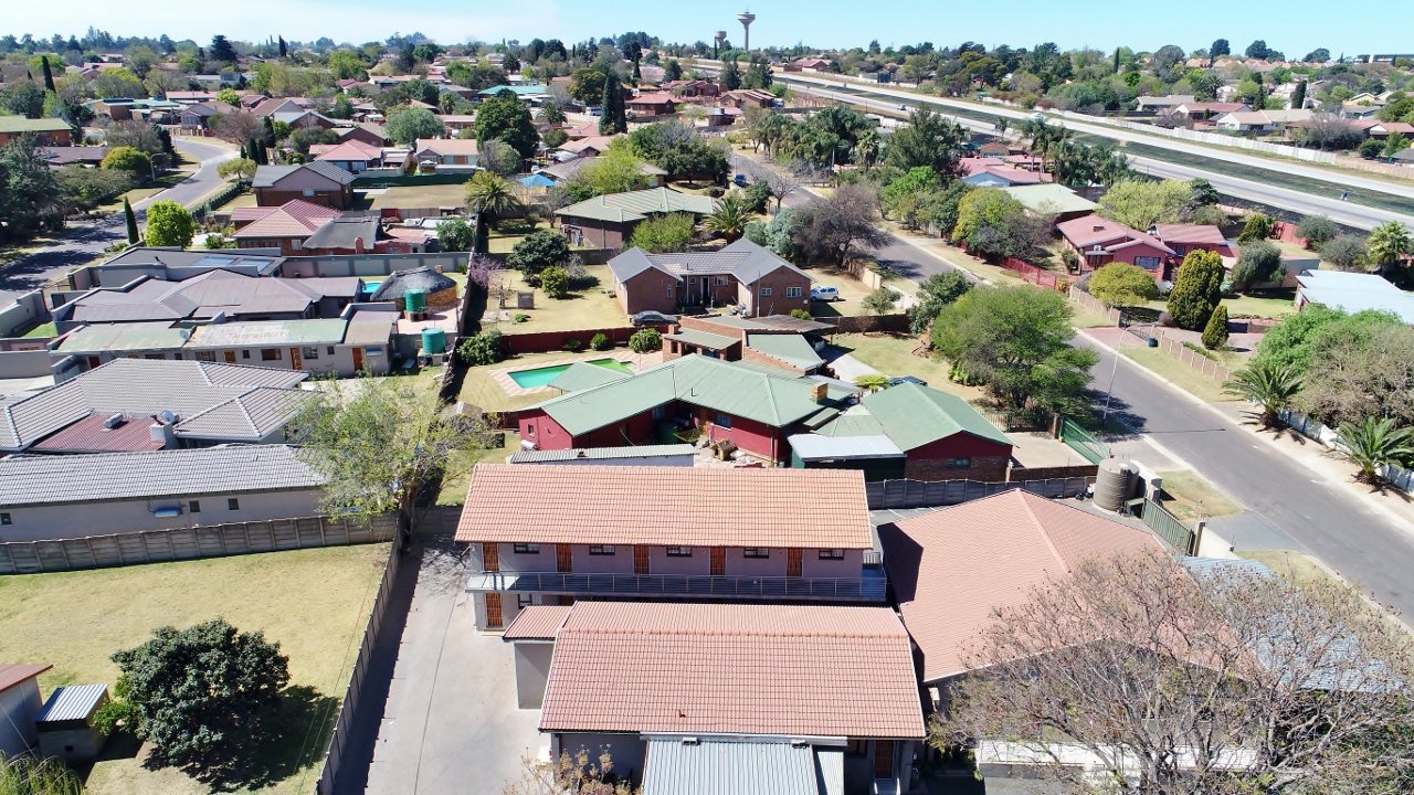
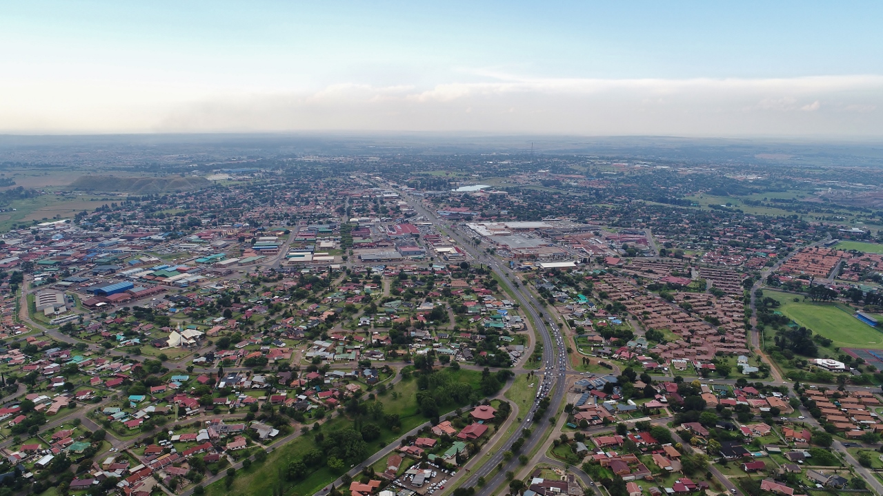
Bird's eye view east

Bird's eye view from above

View from a 100 meter above my house

Bird's eye view north
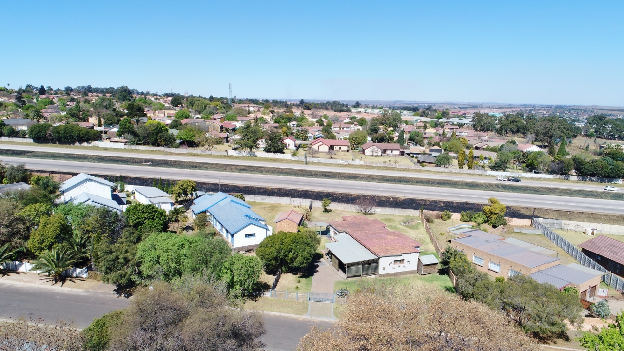
Bird's eye view south
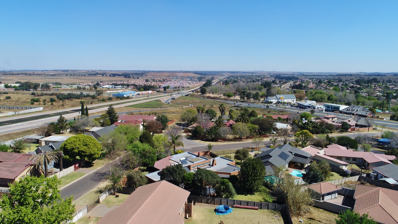
Bird's eye view east

R4636. Apex Colliey ex SAR Class 1. 9th September,1972.

Klipfontein Dam

Drone picture

Hinter Emalahleni (Witbank) geht es bergab in das Tal des Lepelle (Olifantsrivier)

weaver bird nest

N12 towards Middelburg
Watermeyer street towards town

Witbank-20130220-00351
Topographic Map of Ferrobank, Emalahleni, South Africa
Find elevation by address:

Places near Ferrobank, Emalahleni, South Africa:
Bushveld Vanchem Ltd
Rosmary Street
Emalahleni
Highveld Mallmw
Emalahleni Local Municipality
Benicon Opencast Mining
Bezuidenhoutshoek Farm
Ogies
Saaiwater
Van Dyksdrif
Mulati Street
Kendal
Middelburg
Middelburg
Rockdale
Broodsnyersplaas
Argent
Kwamhlanga
Dryden
Delmas
Recent Searches:
- Elevation of Corso Fratelli Cairoli, 35, Macerata MC, Italy
- Elevation of Tallevast Rd, Sarasota, FL, USA
- Elevation of 4th St E, Sonoma, CA, USA
- Elevation of Black Hollow Rd, Pennsdale, PA, USA
- Elevation of Oakland Ave, Williamsport, PA, USA
- Elevation of Pedrógão Grande, Portugal
- Elevation of Klee Dr, Martinsburg, WV, USA
- Elevation of Via Roma, Pieranica CR, Italy
- Elevation of Tavkvetili Mountain, Georgia
- Elevation of Hartfords Bluff Cir, Mt Pleasant, SC, USA