Elevation of Fayston, VT, USA
Location: United States > Vermont > Washington County >
Longitude: -72.875663
Latitude: 44.2074374
Elevation: 583m / 1913feet
Barometric Pressure: 95KPa
Elevation Map:
Satellite Map:
Related Photos:

The Dacks

Purple Haze

Falls of Lana

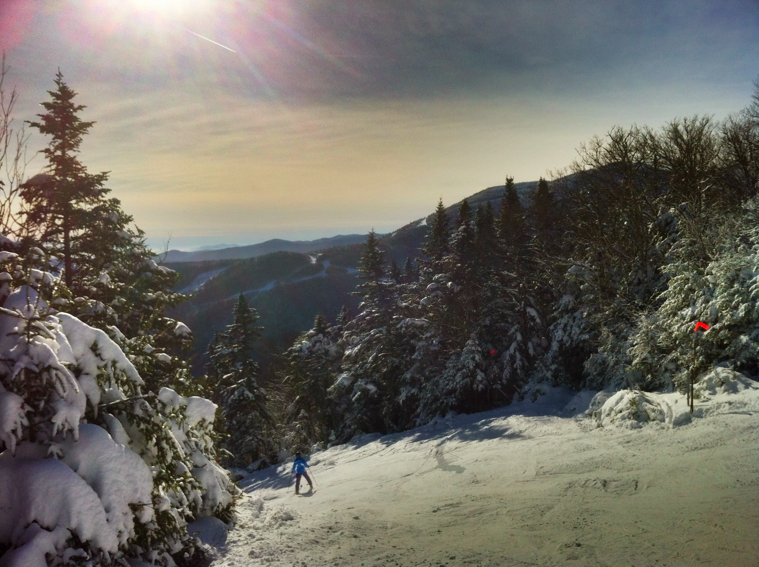
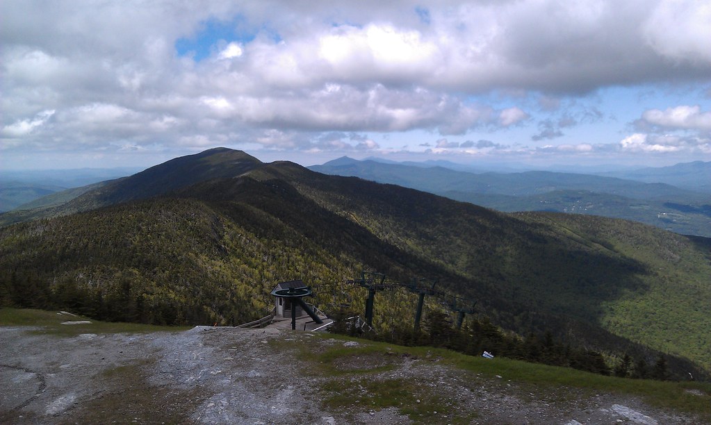
The trails & views off the Super Bravo Express lift today are sick. Skiing is sick! #skitheeast
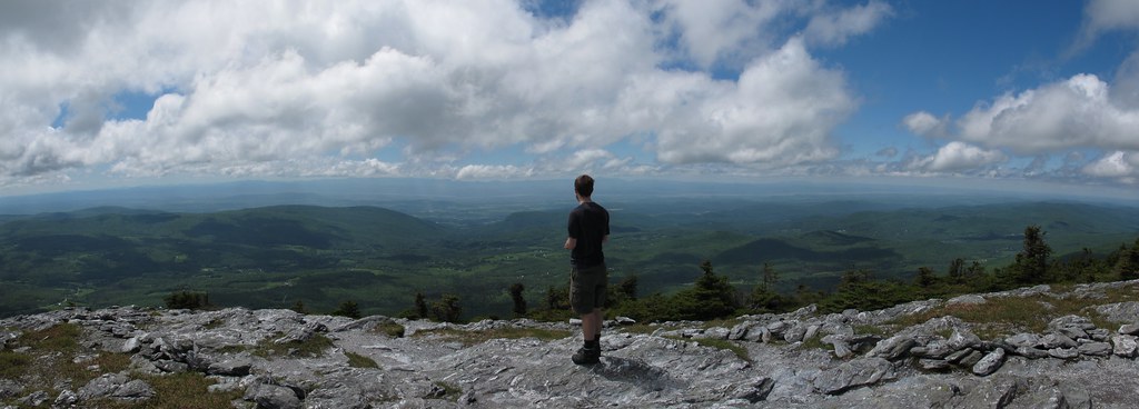
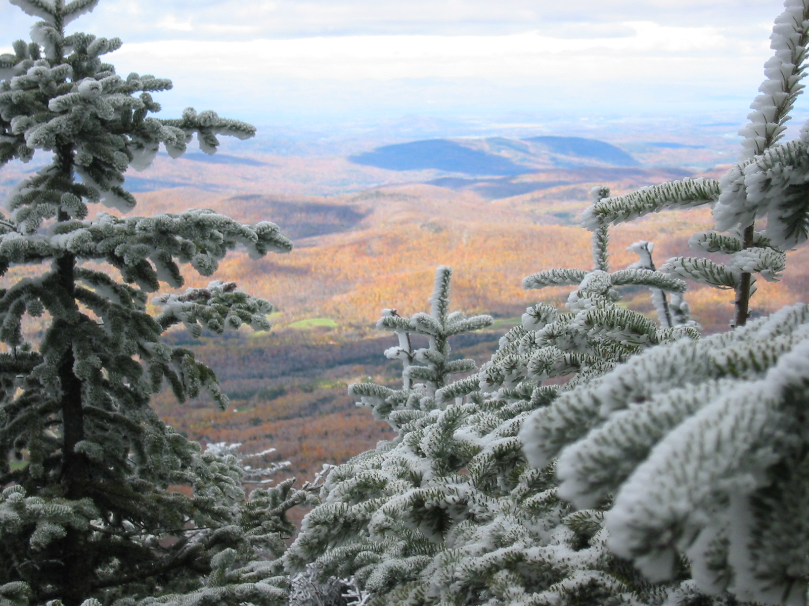
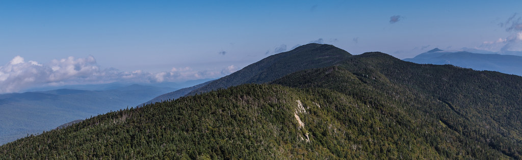
Mt Abraham, VT View
Mt Abraham, VT View
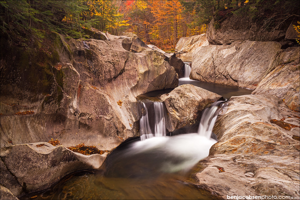
Warren Falls Upper wider view

Sunset Ledge Spur

Tree With A View
Looking across Lincoln Gap
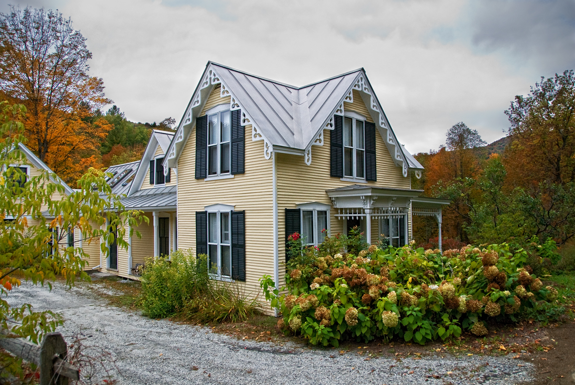
I wish I lived here no. 14 part 2 (same house, different season)
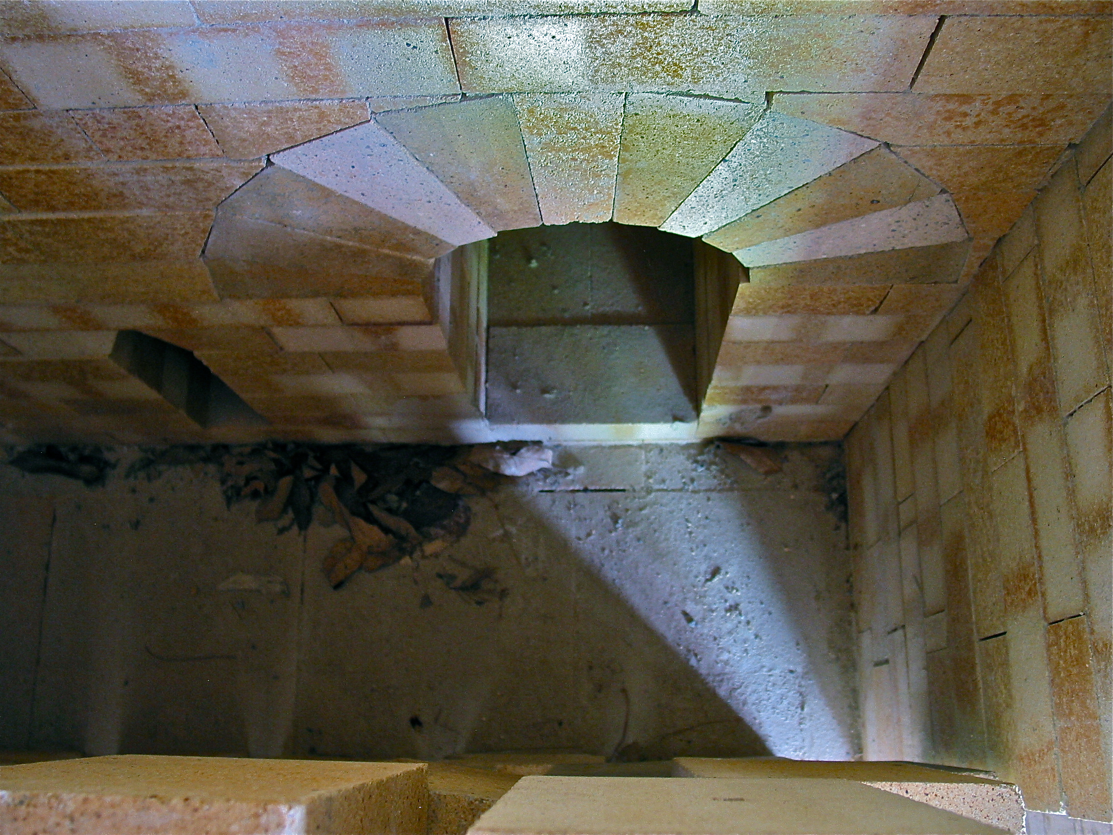
Robert Compton Pottery – kiln view
1st View
Mt Abraham, VT View
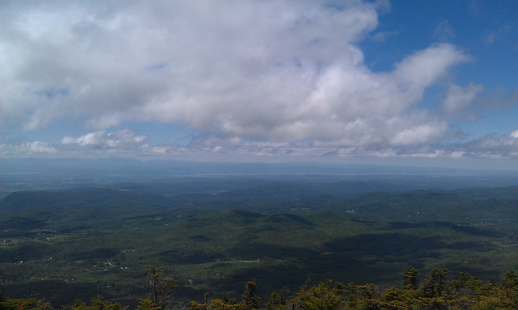
Champlain Valley
Mt Abraham, VT View

The Setting Sun
View from Sugarbush, VT

The view....
Sunny view
View from Sugarbush, VT
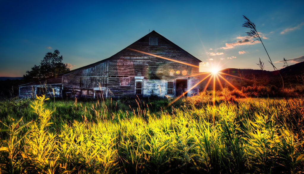
Old Barn
The Mad River
Appalachian Gap

Mad River - Vermont
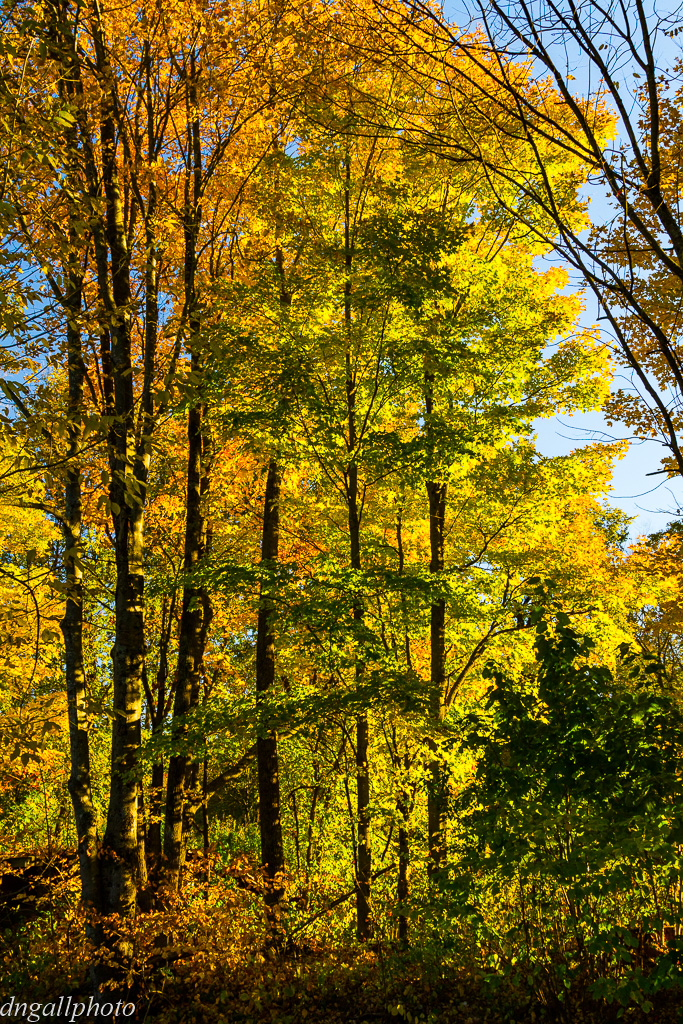
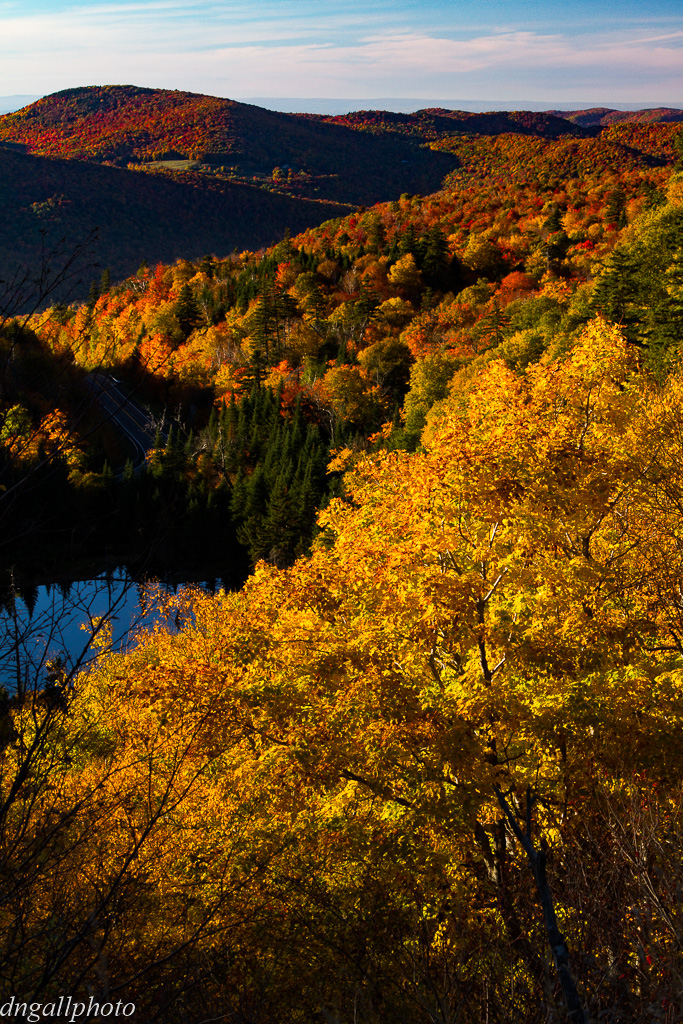
Vermont Foliage

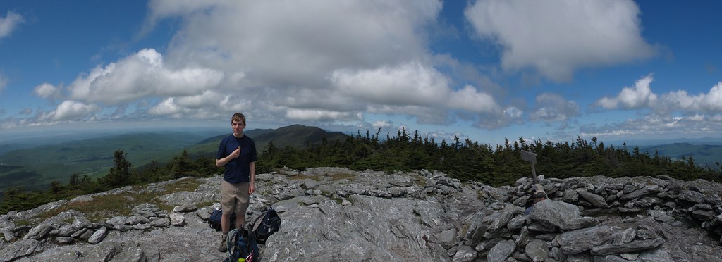
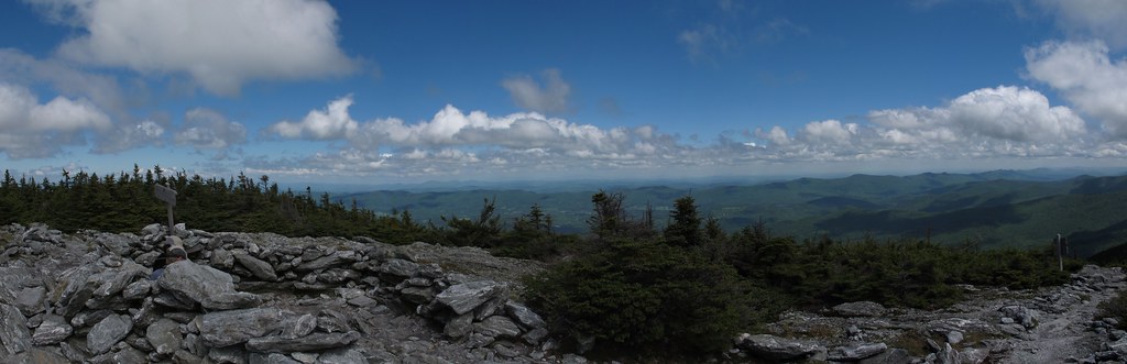
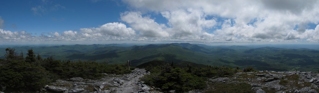
Abraham Summit
Ellen Mountain

IMGP7337 2011 june b
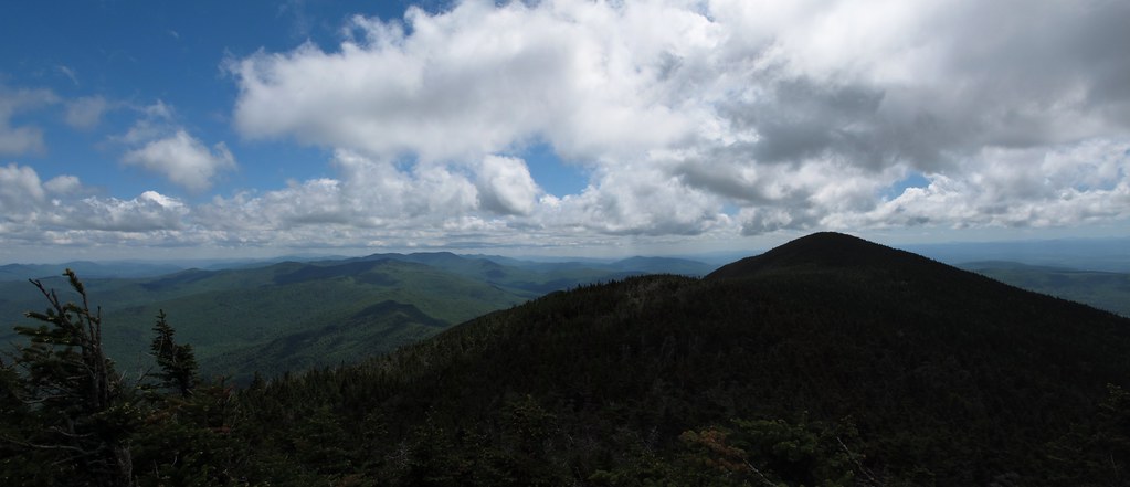
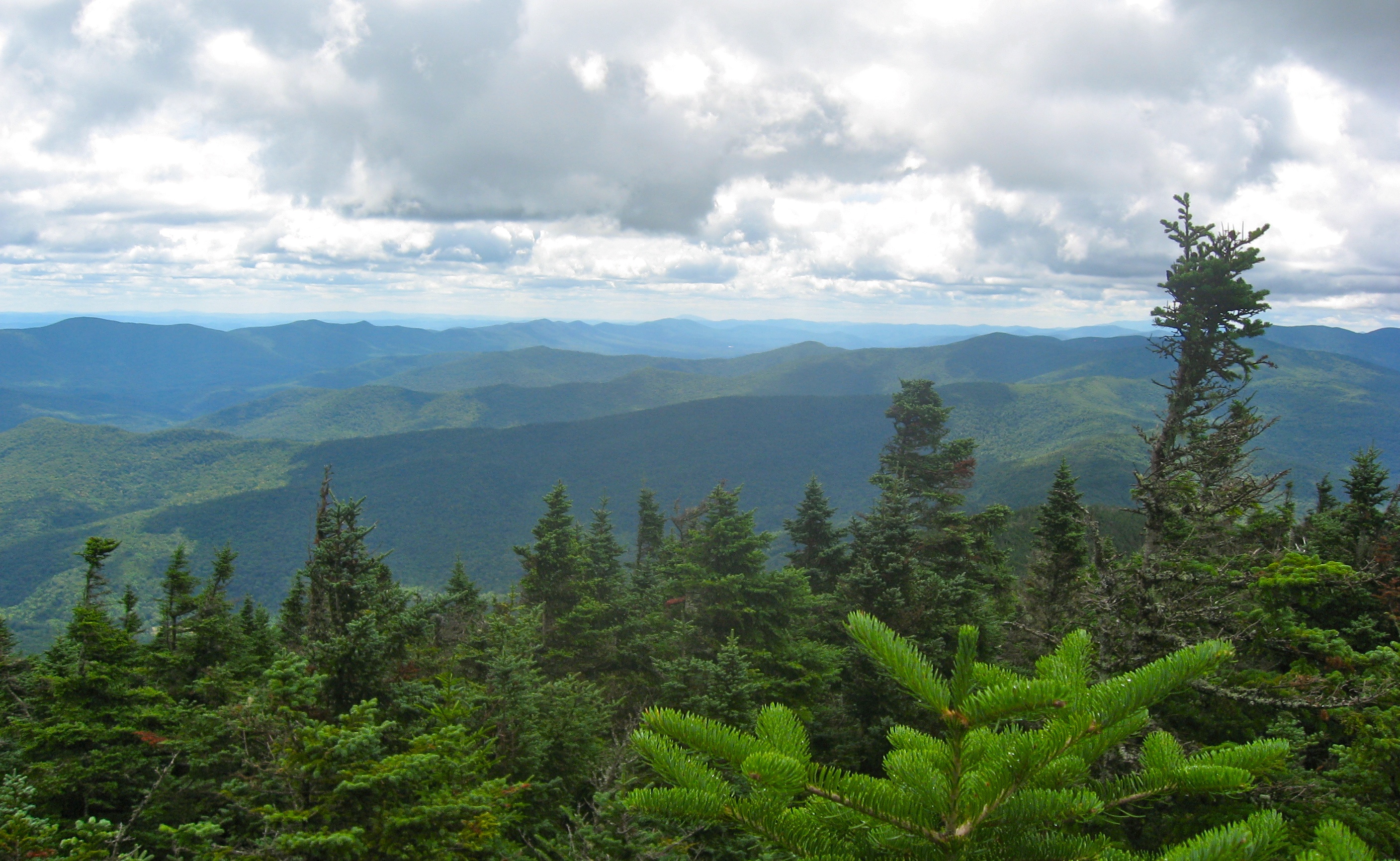
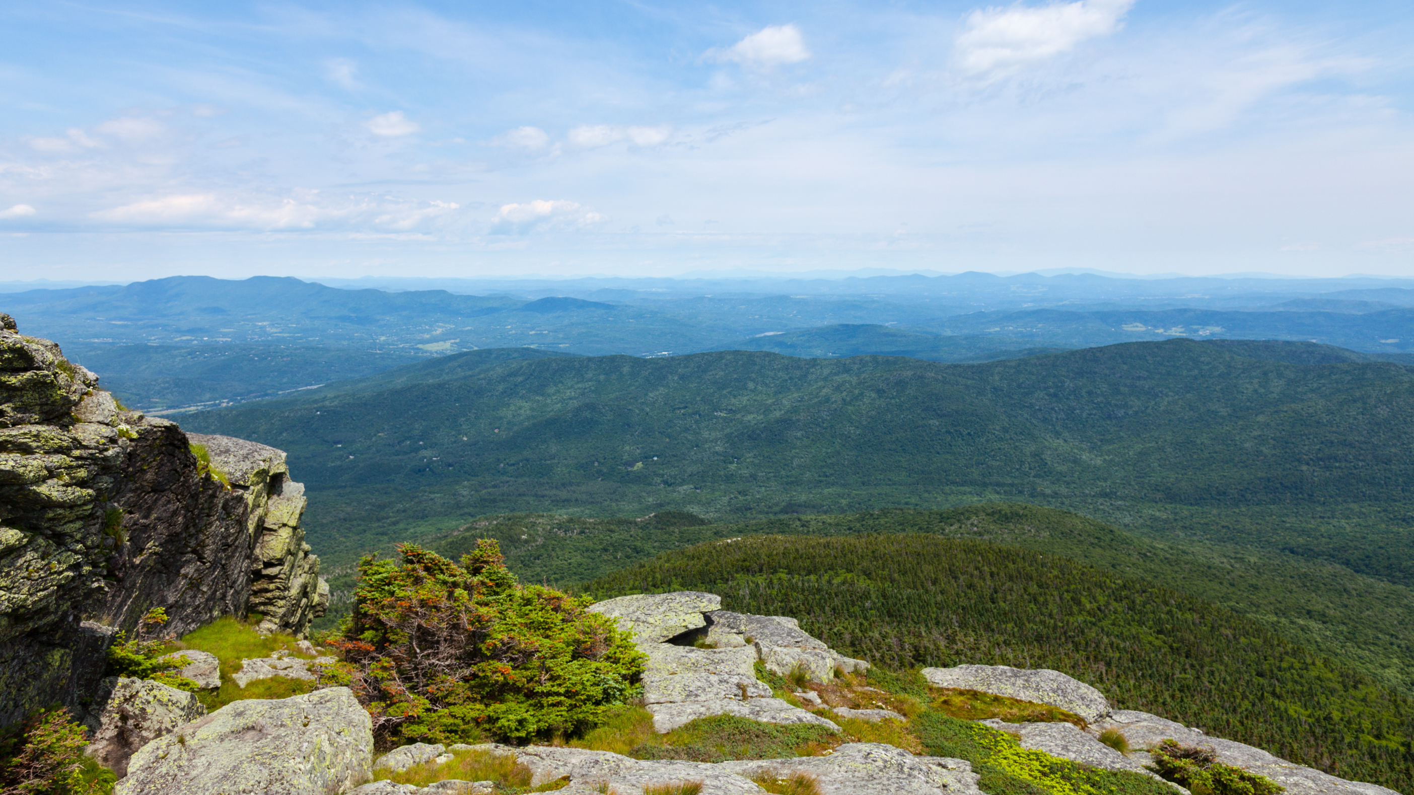
view from burnt rock

A View From Above
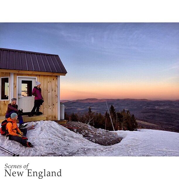
Congratulations!✨????✨ @mtb802 Your amazing Sugarbush Resort landscape shot was chosen as a feature from the beautiful state of Vermont.
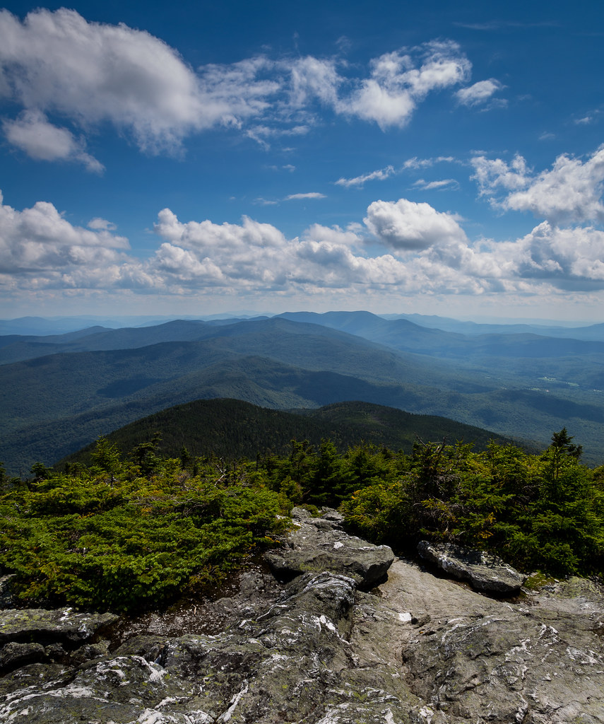
Abraham Summit

Camel's Hump
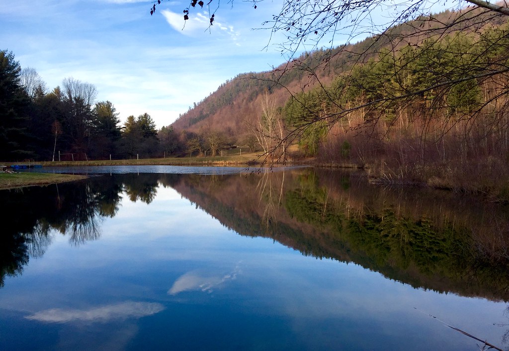
Russell Tree Farm Pond

From Hump to Mount Mansfield
Camel's Hump

Hiking on Mt. Abraham
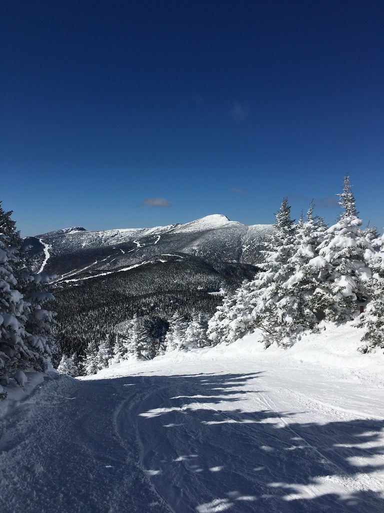
Mt. Mansfield, from Madonna at Smuggs
Camel's Hump summit
Topographic Map of Fayston, VT, USA
Find elevation by address:

Places near Fayston, VT, USA:
Battleground Road
74 Rainbow Path
Mad River Glen Cooperative
114 Nelson Farm Rd
395 Old Duxbury Rd
36 Summit Rd
River Ridge Road
Sugarbush Access Road
24 Trailside Dr
The Bridges Vermont Resort & Tennis Club
Bridges Resort
Main Street
Sugarbush Village Road
24 Lower Phase Rd
205 Mountainside Dr
231 Lower Pines Rd
51 Upper Pines Rd
Mount Ellen
105 Vt-100
Buels
Recent Searches:
- Elevation of Corso Fratelli Cairoli, 35, Macerata MC, Italy
- Elevation of Tallevast Rd, Sarasota, FL, USA
- Elevation of 4th St E, Sonoma, CA, USA
- Elevation of Black Hollow Rd, Pennsdale, PA, USA
- Elevation of Oakland Ave, Williamsport, PA, USA
- Elevation of Pedrógão Grande, Portugal
- Elevation of Klee Dr, Martinsburg, WV, USA
- Elevation of Via Roma, Pieranica CR, Italy
- Elevation of Tavkvetili Mountain, Georgia
- Elevation of Hartfords Bluff Cir, Mt Pleasant, SC, USA