Elevation of Buels, VT, USA
Location: United States > Vermont > Chittenden County >
Longitude: -72.949446
Latitude: 44.2046372
Elevation: 694m / 2277feet
Barometric Pressure: 93KPa
Elevation Map:
Satellite Map:
Related Photos:

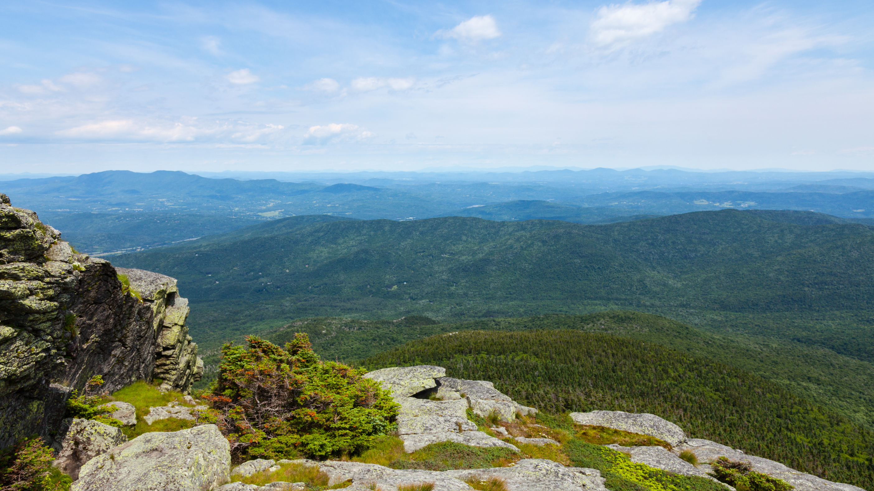
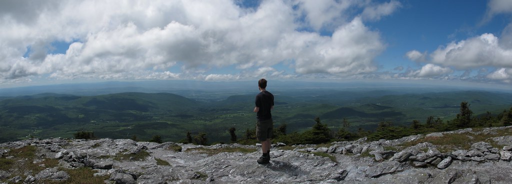
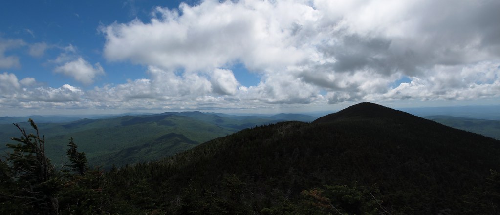
A View From Above

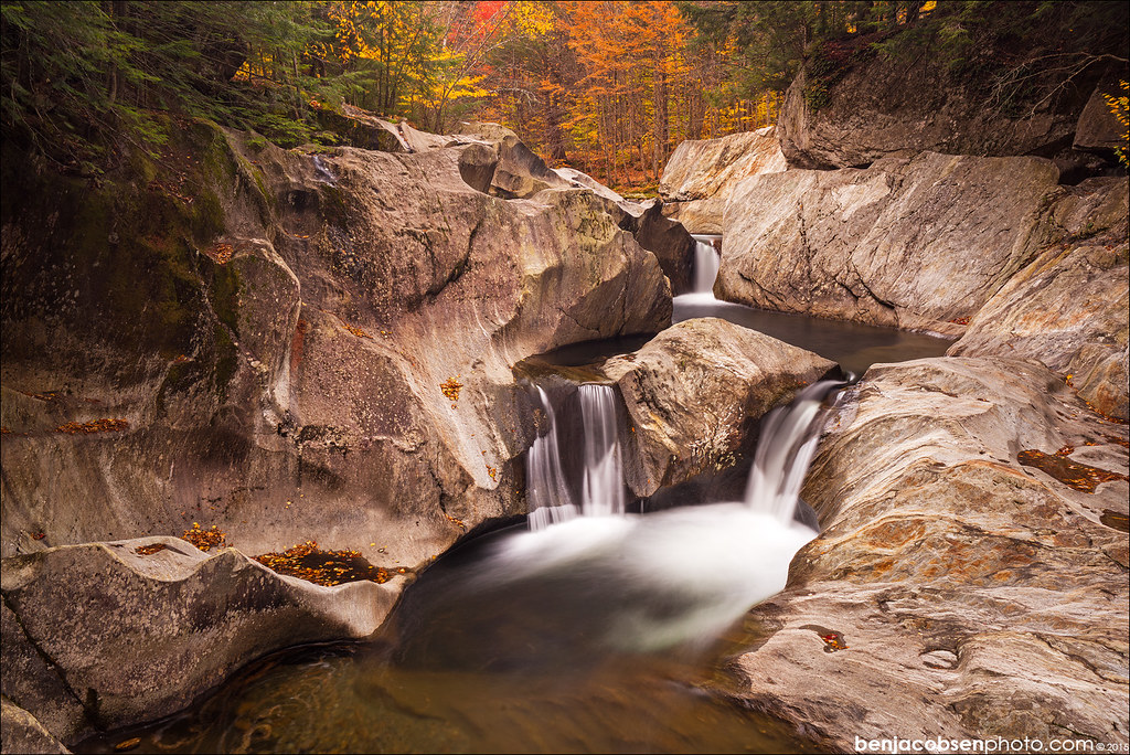
Falls of Lana

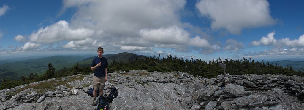
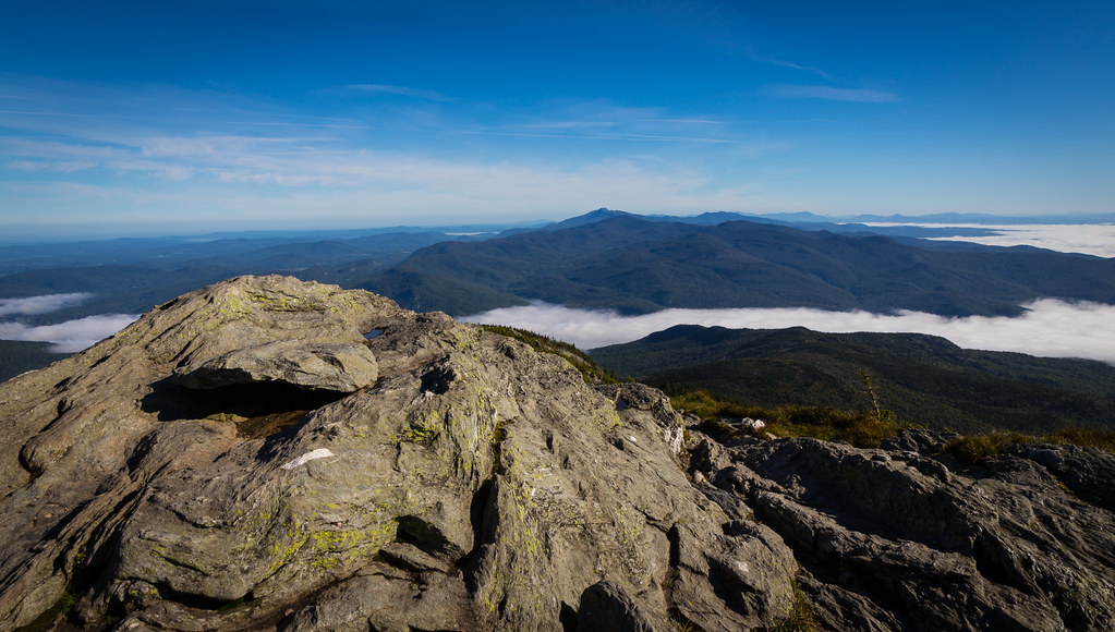
Camel's Hump
Camel's Hump
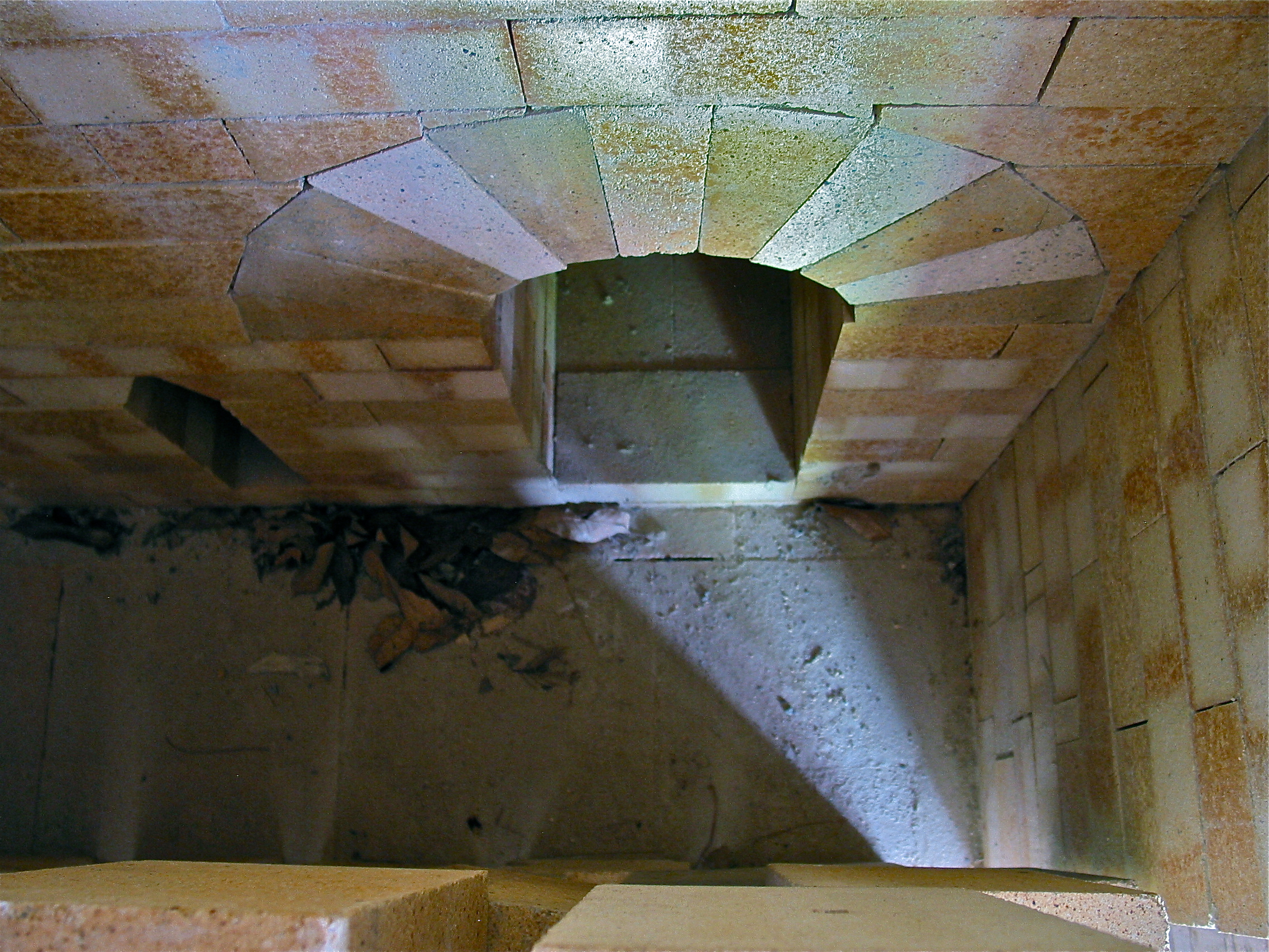
Robert Compton Pottery – kiln view
Appalachian Gap

Ap Gap

The Dacks

Purple Haze

The trails & views off the Super Bravo Express lift today are sick. Skiing is sick! #skitheeast
view from burnt rock

From Hump to Mount Mansfield
Mt Abraham, VT View
Mt Abraham, VT View
Warren Falls Upper wider view
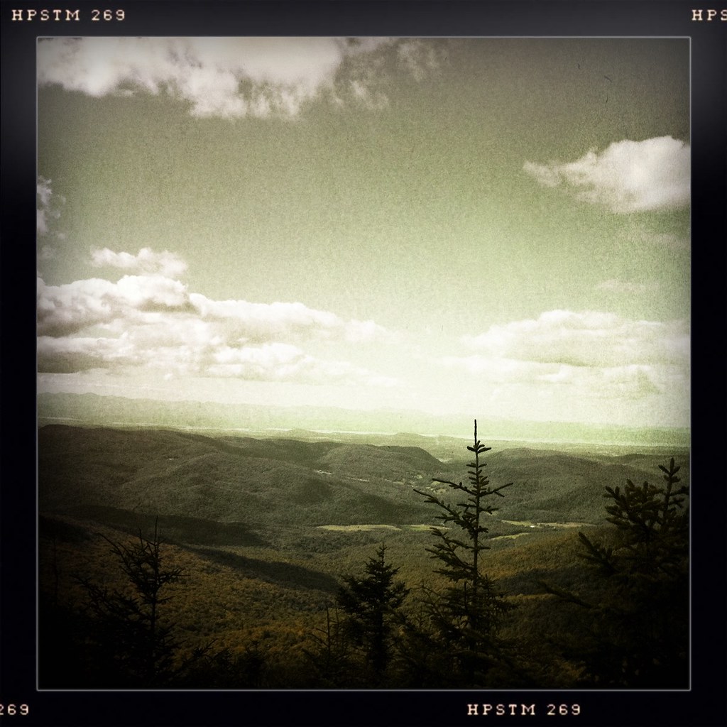
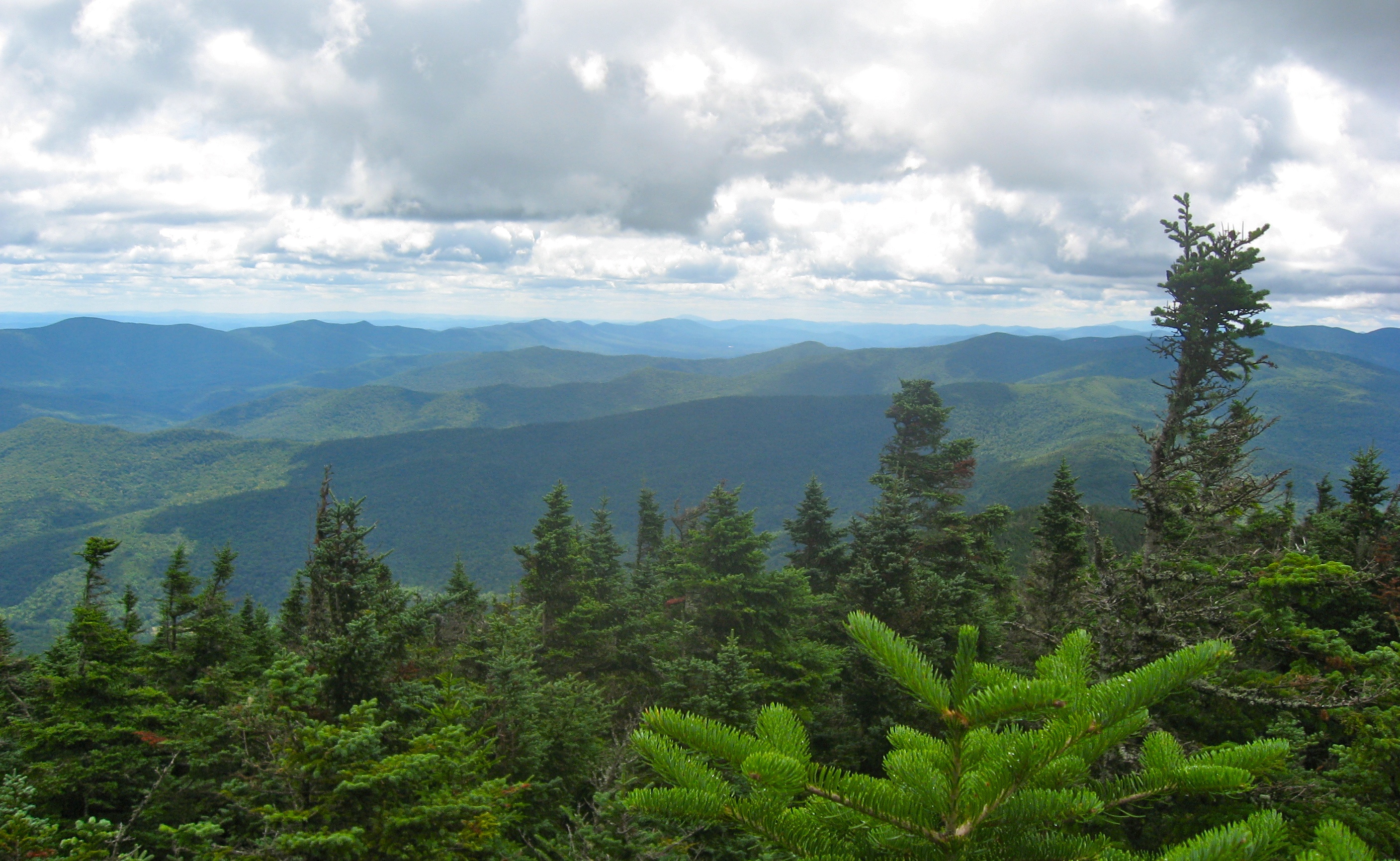
as far as the eye can see

Sunset Ledge Spur
Looking across Lincoln Gap

Tree With A View
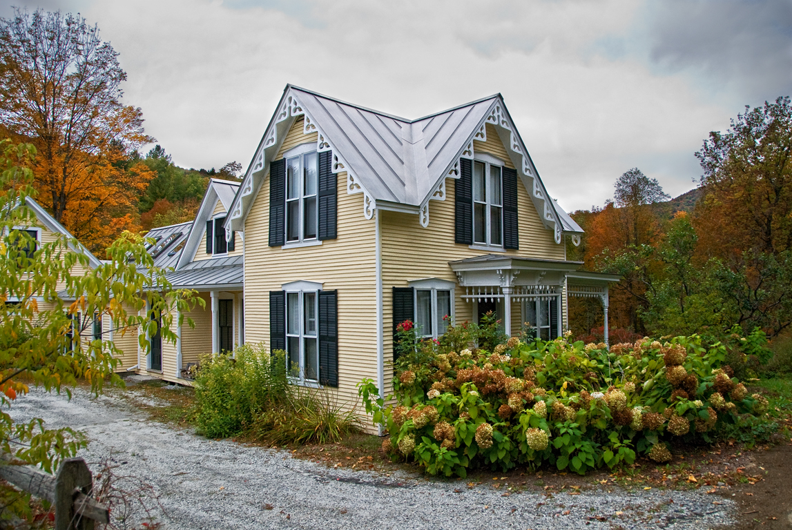
I wish I lived here no. 14 part 2 (same house, different season)
1st View
Camel's Hump summit
back road

Mad River - Vermont
Camel's Hump summit

Appalachian Gap
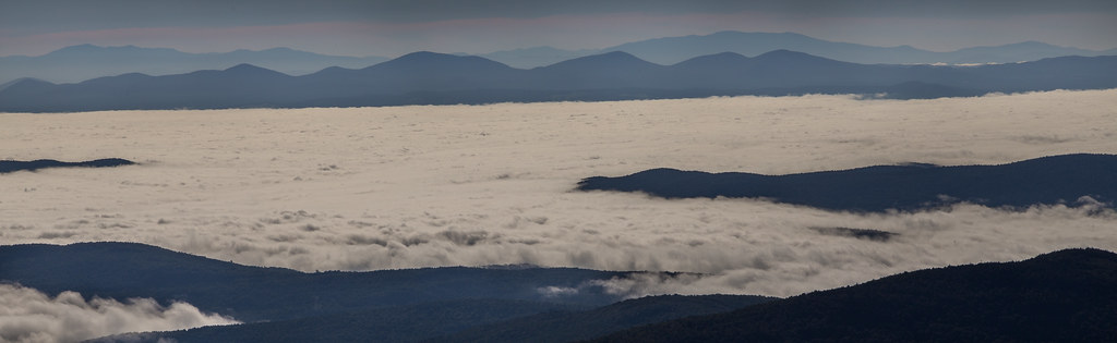
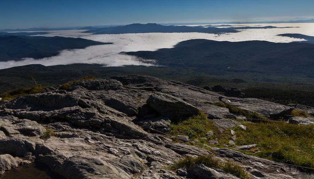
Sea of fog - Camel's Hump summit

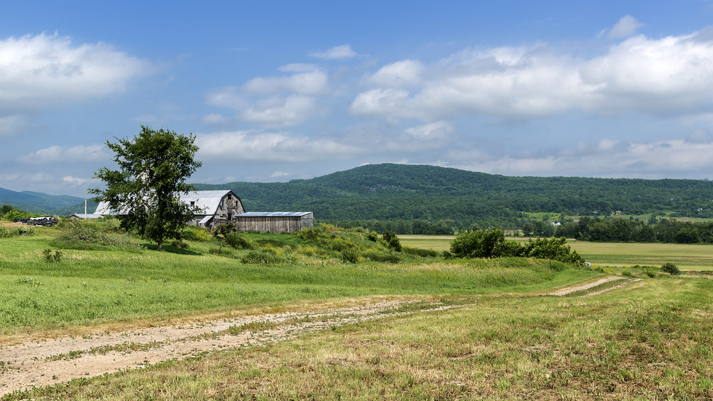
Old Barn

Monkton Barn (Explored!)
Rural Life
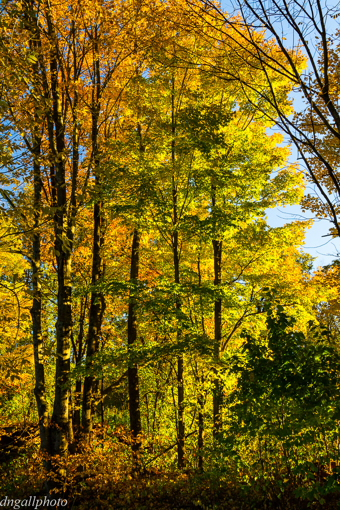
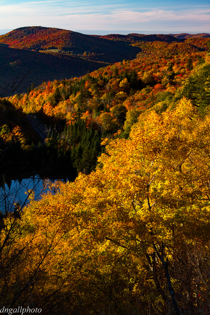
Vermont Foliage
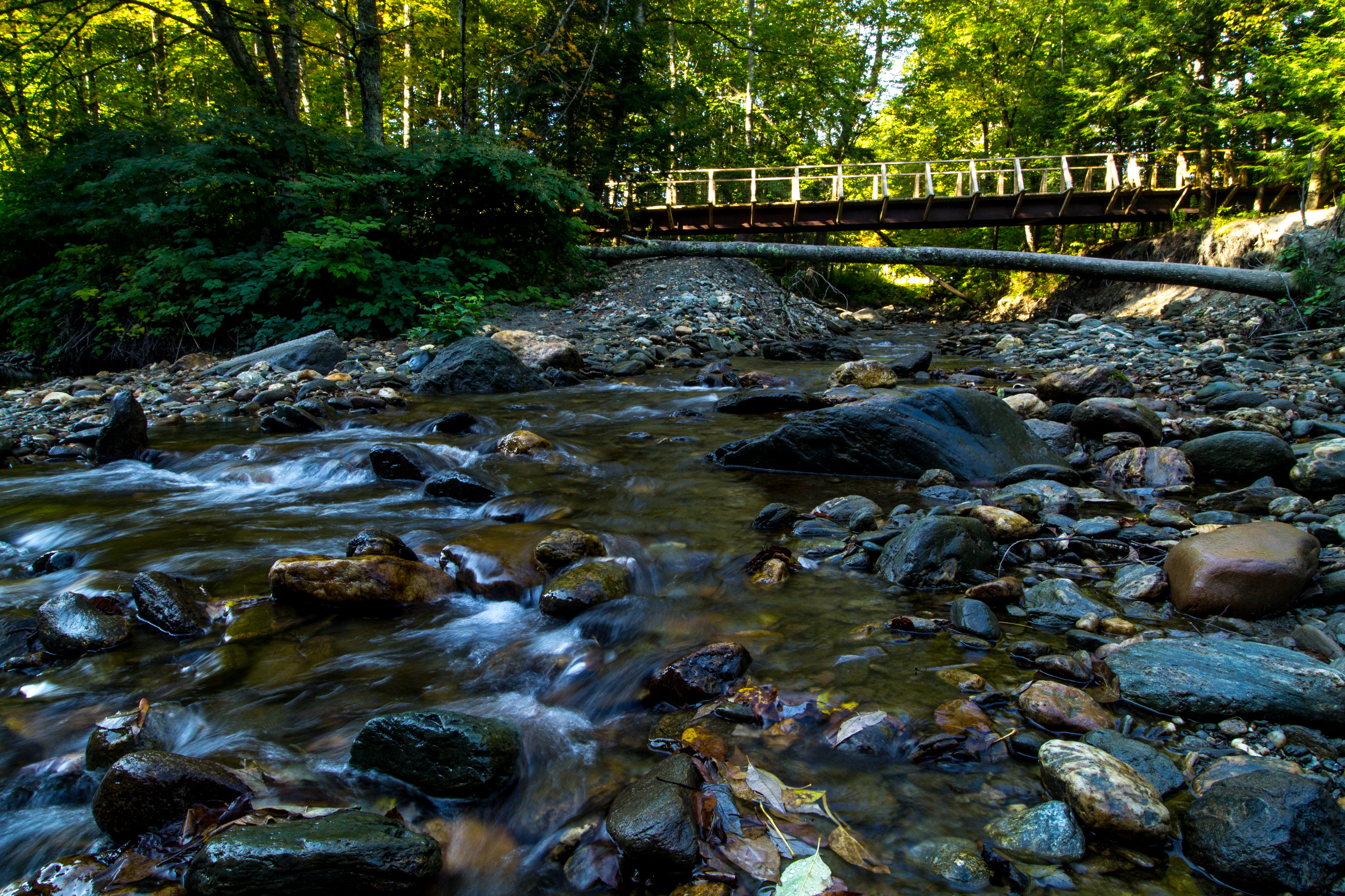
The Mad River
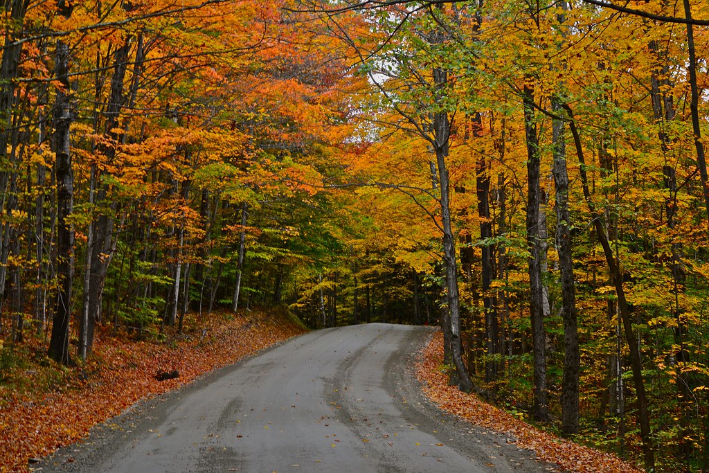
Road in Fall
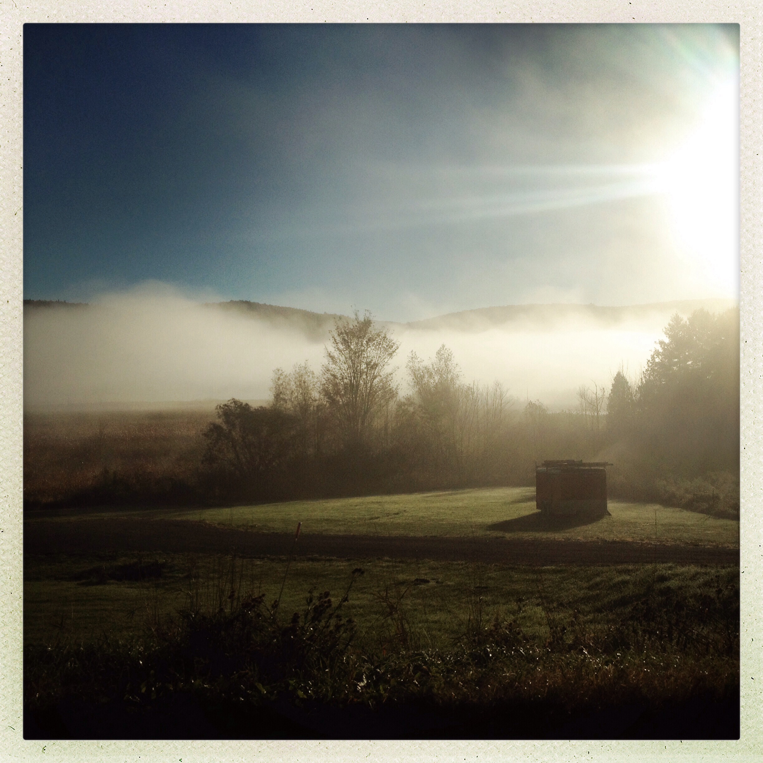
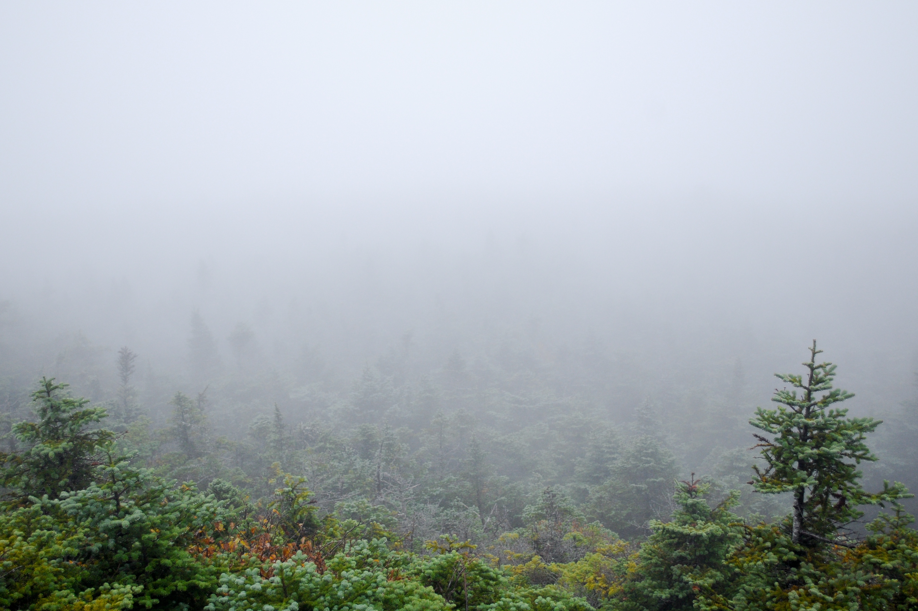
Morning Mist
Topographic Map of Buels, VT, USA
Find elevation by address:

Places near Buels, VT, USA:
Gore Road
Mad River Glen Cooperative
350 Weaver Rd
Mount Ellen
689 Moody Rd
3287 Downingsville Rd
1056 Lafayette Rd
Battleground Road
1056 Vt-17
Charlie Smith Road
Fayston
437 Hall Rd
945 Upper Meehan Rd
Lincoln Peak
Sugarbush Resort
36 Summit Rd
24 Trailside Dr
205 Mountainside Dr
Sugarbush Village Road
Timbers Restaurant
Recent Searches:
- Elevation of Corso Fratelli Cairoli, 35, Macerata MC, Italy
- Elevation of Tallevast Rd, Sarasota, FL, USA
- Elevation of 4th St E, Sonoma, CA, USA
- Elevation of Black Hollow Rd, Pennsdale, PA, USA
- Elevation of Oakland Ave, Williamsport, PA, USA
- Elevation of Pedrógão Grande, Portugal
- Elevation of Klee Dr, Martinsburg, WV, USA
- Elevation of Via Roma, Pieranica CR, Italy
- Elevation of Tavkvetili Mountain, Georgia
- Elevation of Hartfords Bluff Cir, Mt Pleasant, SC, USA