Elevation of Fayette County, TN, USA
Location: United States > Tennessee >
Longitude: -89.474217
Latitude: 35.1257427
Elevation: 138m / 453feet
Barometric Pressure: 100KPa
Elevation Map:
Satellite Map:
Related Photos:

Widow Skimmer, male
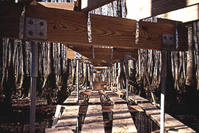
William B. Clark Preserve Boardwalk: Under Construction
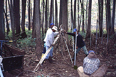
William B. Clark Preserve Boardwalk: Under Construction

Sunset in the Front Yard

Foggy Morning Down the Road

HERB PARSONS LAKE

Winter Afternoon

Wolf River
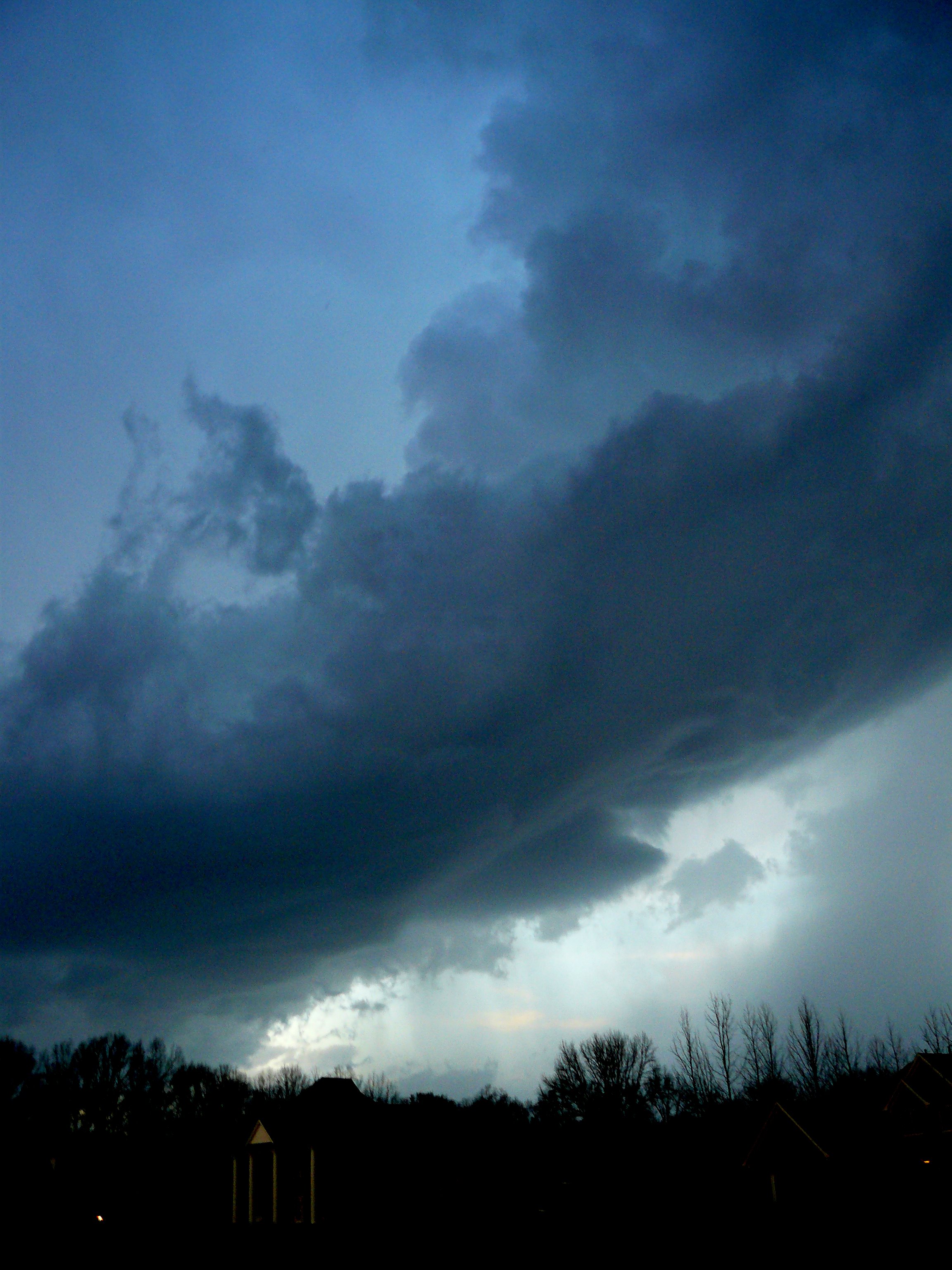
the beast blows in

IMG-20110928-00439

Sunrise in the Cemetery
Topographic Map of Fayette County, TN, USA
Find elevation by address:

Places in Fayette County, TN, USA:
Somerville
Rossville
Collierville
Hickory Withe
Gallaway
Burnett Rd, Somerville, TN, USA
Oakland
Macon
Moscow, TN, USA
Mason
Williston
Places near Fayette County, TN, USA:
Macon
6560 Tn-193
13920 Tn-193
Raleigh Lagrange Dr, Rossville, TN, USA
Rossville
440 Church St
Moscow, TN, USA
Herb Parsons Lake
Raleigh Lagrange Dr, Collierville, TN, USA
330 Monterey Dr
Piperton Preserve
Piperton
517 Rocky Joe Dr
23 Barry Rd
Fisherville, TN, USA
420 North Collierville Arlington Road
Palomino Run
Collierville
990 Hatton St
575 Kenrose St
Recent Searches:
- Elevation of Corso Fratelli Cairoli, 35, Macerata MC, Italy
- Elevation of Tallevast Rd, Sarasota, FL, USA
- Elevation of 4th St E, Sonoma, CA, USA
- Elevation of Black Hollow Rd, Pennsdale, PA, USA
- Elevation of Oakland Ave, Williamsport, PA, USA
- Elevation of Pedrógão Grande, Portugal
- Elevation of Klee Dr, Martinsburg, WV, USA
- Elevation of Via Roma, Pieranica CR, Italy
- Elevation of Tavkvetili Mountain, Georgia
- Elevation of Hartfords Bluff Cir, Mt Pleasant, SC, USA