Elevation of Fawcett, AB T0G, Canada
Location: Canada > Alberta > Division No. 13 > Westlock County >
Longitude: -114.10354
Latitude: 54.544561
Elevation: 625m / 2051feet
Barometric Pressure: 0KPa
Related Photos:

Athabasca Indian Trail
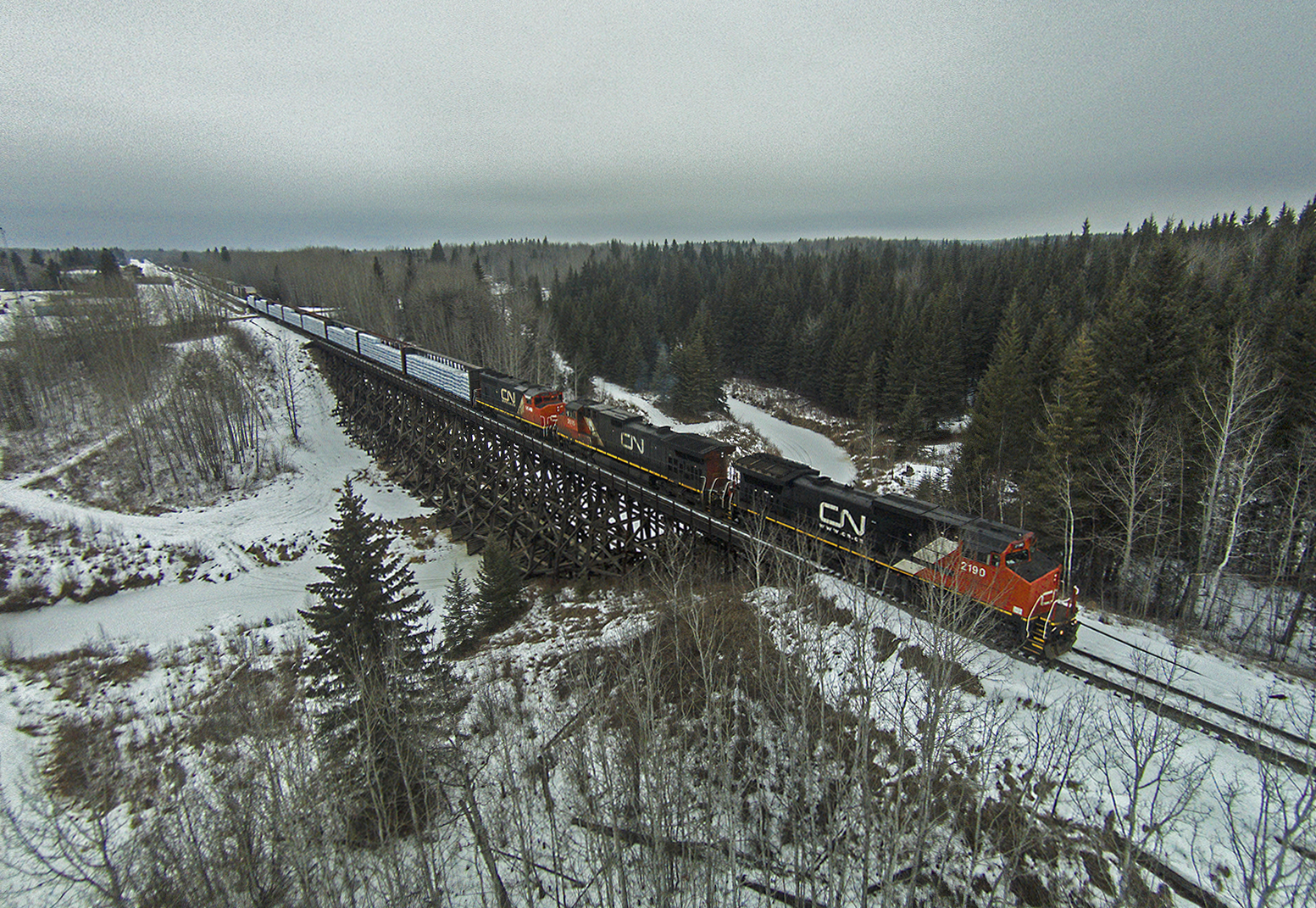
A418 from the ground
Back Up One More Car Please...

Carnaval St -Isidore
I Love Sucker Holes!

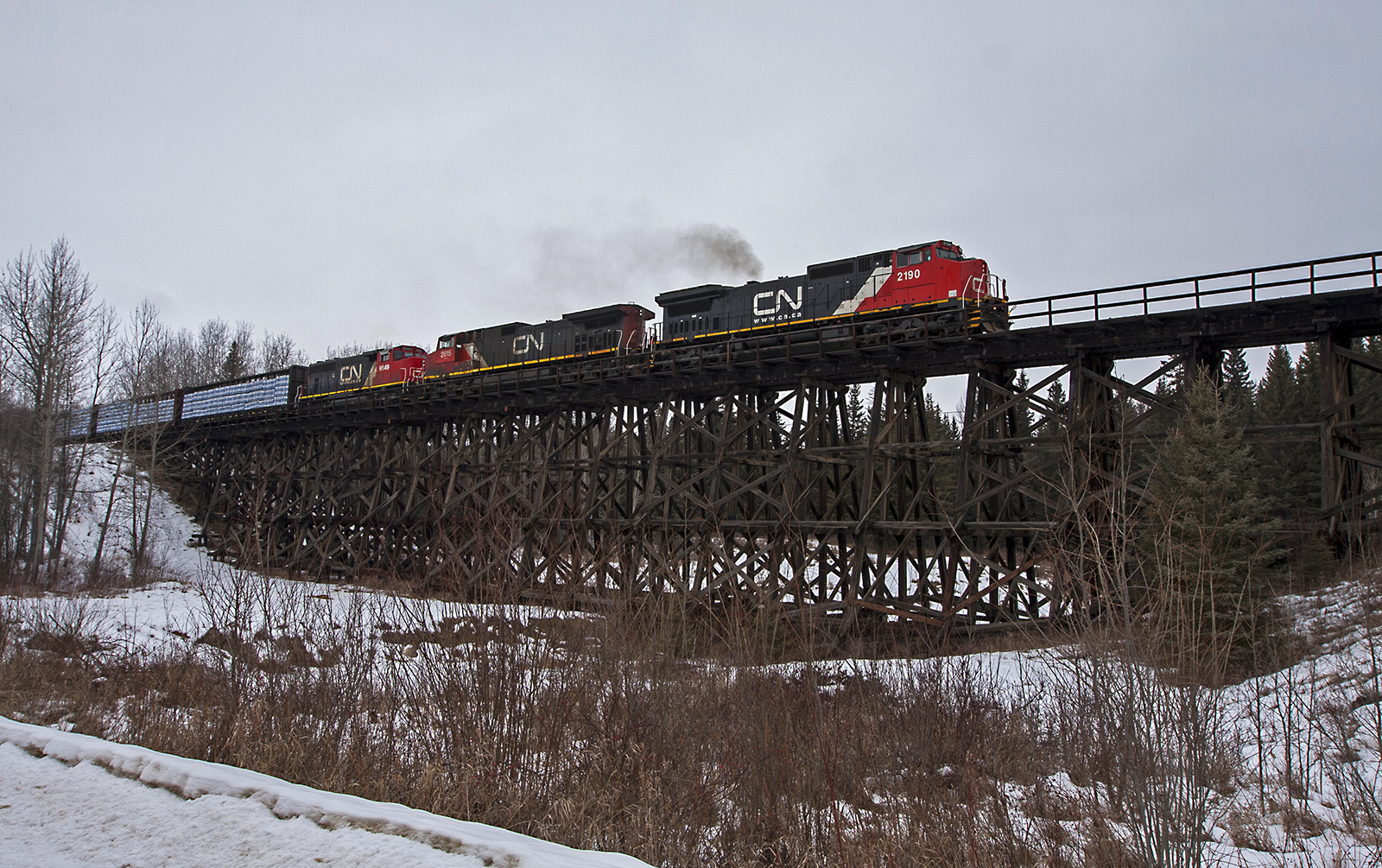
CN Train A419 Fawcett Alberta

Three of a Kind

Roki is 8 months July 2 , 2012 ( tomorrow)
Topographic Map of Fawcett, AB T0G, Canada
Find elevation by address:

Places near Fawcett, AB T0G, Canada:
Municipal District Of Lesser Slave River No 124
Westlock County
Division No. 13
Hazel Bluff Community Hall
Fort Assiniboine
Hillview Crescent, Onoway, AB T0E 1V0, Canada
Calahoo
23 Main St, Calahoo, AB T0G 0J0, Canada
1 St, Alberta Beach, AB T0E 0A0, Canada
Yellowstone
Sunset Dr, Alberta Beach, AB T0E 0A0, Canada
Sunset Point
49a Avenue
4915 49a Ave
50 Ave, Alberta Beach, AB T0E 0A0, Canada
56031-56109
53218 Range Rd 14
Hubbles Lake
Manly Corner
AB-, Parkland County, AB T0E 0H0, Canada
Recent Searches:
- Elevation map of Greenland, Greenland
- Elevation of Sullivan Hill, New York, New York, 10002, USA
- Elevation of Morehead Road, Withrow Downs, Charlotte, Mecklenburg County, North Carolina, 28262, USA
- Elevation of 2800, Morehead Road, Withrow Downs, Charlotte, Mecklenburg County, North Carolina, 28262, USA
- Elevation of Yangbi Yi Autonomous County, Yunnan, China
- Elevation of Pingpo, Yangbi Yi Autonomous County, Yunnan, China
- Elevation of Mount Malong, Pingpo, Yangbi Yi Autonomous County, Yunnan, China
- Elevation map of Yongping County, Yunnan, China
- Elevation of North 8th Street, Palatka, Putnam County, Florida, 32177, USA
- Elevation of 107, Big Apple Road, East Palatka, Putnam County, Florida, 32131, USA
- Elevation of Jiezi, Chongzhou City, Sichuan, China
- Elevation of Chongzhou City, Sichuan, China
- Elevation of Huaiyuan, Chongzhou City, Sichuan, China
- Elevation of Qingxia, Chengdu, Sichuan, China
- Elevation of Corso Fratelli Cairoli, 35, Macerata MC, Italy
- Elevation of Tallevast Rd, Sarasota, FL, USA
- Elevation of 4th St E, Sonoma, CA, USA
- Elevation of Black Hollow Rd, Pennsdale, PA, USA
- Elevation of Oakland Ave, Williamsport, PA, USA
- Elevation of Pedrógão Grande, Portugal