Elevation of - Range Road 52A, Cherhill, AB T0E 0J0, Canada
Location: Canada > Alberta > Division No. 13 >
Longitude: -114.6588231
Latitude: 53.8177213
Elevation: 730m / 2395feet
Barometric Pressure: 0KPa
Related Photos:

The Overgrown Garden
Curve to the Horizon
Personal-2009-07-18-Canon EOS-1D Mark III-0054-Edit
Lac Saint Anne
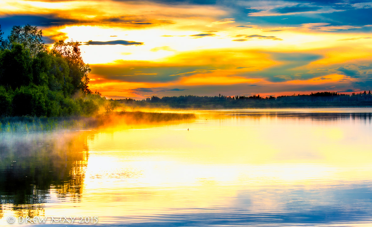
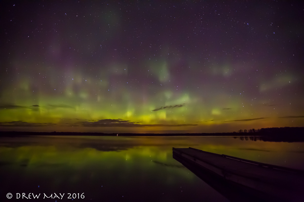
Rising of the Mists
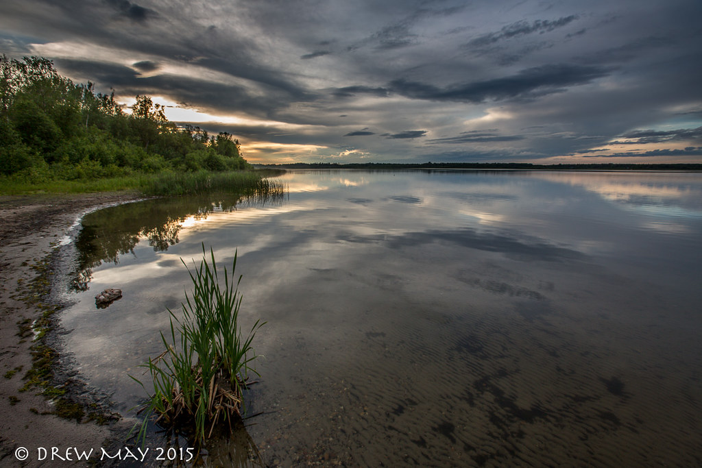
Refections of light
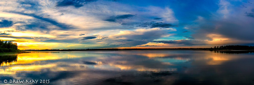
Lessard Lake Sunset
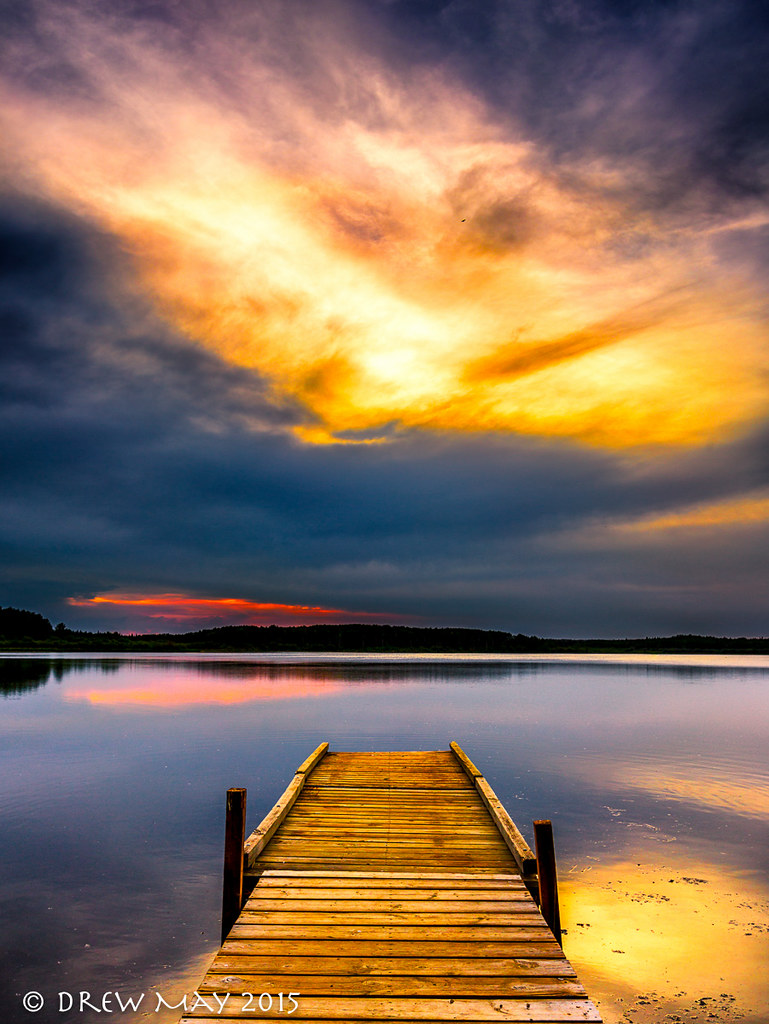
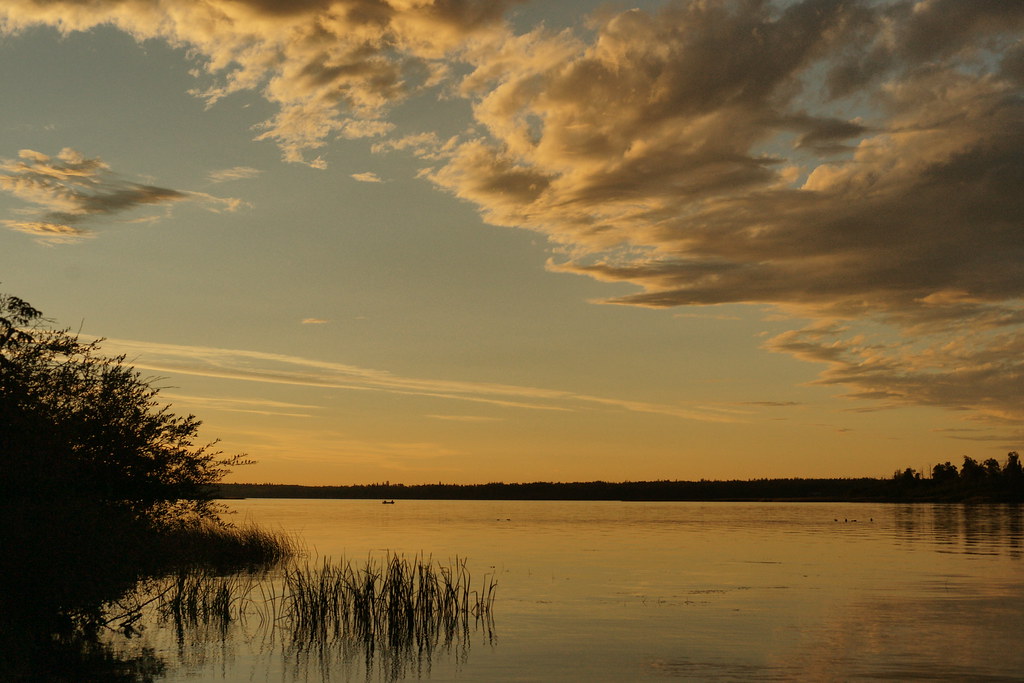
Summers Sunset
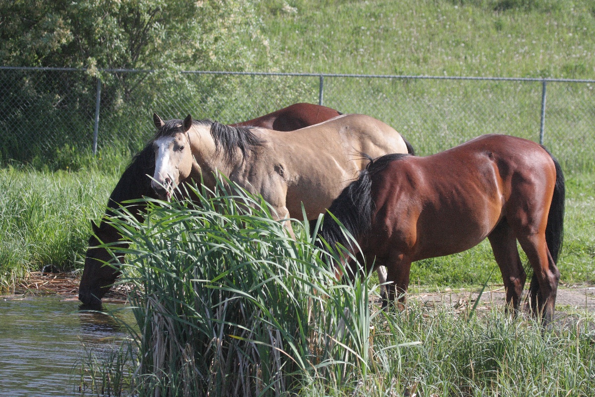
Watering hole

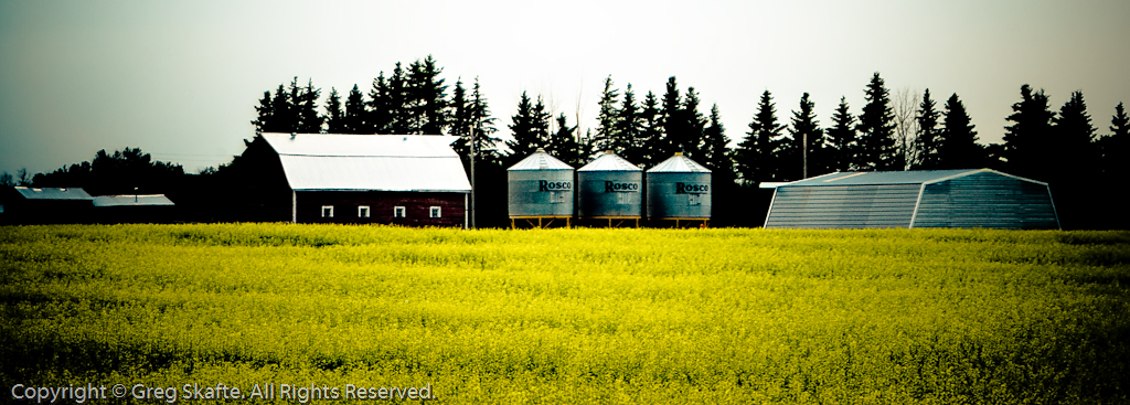
History Still Standing
Topographic Map of - Range Road 52A, Cherhill, AB T0E 0J0, Canada
Find elevation by address:

Places near - Range Road 52A, Cherhill, AB T0E 0J0, Canada:
16 Main St, Fallis, AB T0E 0V0, Canada
Fallis
29 Lake Ave
First Ave N, Seba Beach, AB T0E 2B0, Canada
Gainford
5 1 St W, Gainford, AB T0E 0W0, Canada
Seba Beach
Wabamun Lake
Yellowstone
Sundance
1 St, Alberta Beach, AB T0E 0A0, Canada
T0e 0v0
Wabamun
50 Ave, Alberta Beach, AB T0E 0A0, Canada
Sunset Point
4915 49a Ave
49a Avenue
Sunset Dr, Alberta Beach, AB T0E 0A0, Canada
Entwistle
Duffield
Recent Searches:
- Elevation map of Greenland, Greenland
- Elevation of Sullivan Hill, New York, New York, 10002, USA
- Elevation of Morehead Road, Withrow Downs, Charlotte, Mecklenburg County, North Carolina, 28262, USA
- Elevation of 2800, Morehead Road, Withrow Downs, Charlotte, Mecklenburg County, North Carolina, 28262, USA
- Elevation of Yangbi Yi Autonomous County, Yunnan, China
- Elevation of Pingpo, Yangbi Yi Autonomous County, Yunnan, China
- Elevation of Mount Malong, Pingpo, Yangbi Yi Autonomous County, Yunnan, China
- Elevation map of Yongping County, Yunnan, China
- Elevation of North 8th Street, Palatka, Putnam County, Florida, 32177, USA
- Elevation of 107, Big Apple Road, East Palatka, Putnam County, Florida, 32131, USA
- Elevation of Jiezi, Chongzhou City, Sichuan, China
- Elevation of Chongzhou City, Sichuan, China
- Elevation of Huaiyuan, Chongzhou City, Sichuan, China
- Elevation of Qingxia, Chengdu, Sichuan, China
- Elevation of Corso Fratelli Cairoli, 35, Macerata MC, Italy
- Elevation of Tallevast Rd, Sarasota, FL, USA
- Elevation of 4th St E, Sonoma, CA, USA
- Elevation of Black Hollow Rd, Pennsdale, PA, USA
- Elevation of Oakland Ave, Williamsport, PA, USA
- Elevation of Pedrógão Grande, Portugal