Elevation of Fastness Peak, West Coast, New Zealand
Location: New Zealand > West Coast > Westland District > Mount Aspiring National Park >
Longitude: 168.808333
Latitude: -44.3625
Elevation: 2382m / 7815feet
Barometric Pressure: 76KPa
Elevation Map:
Satellite Map:
Related Photos:

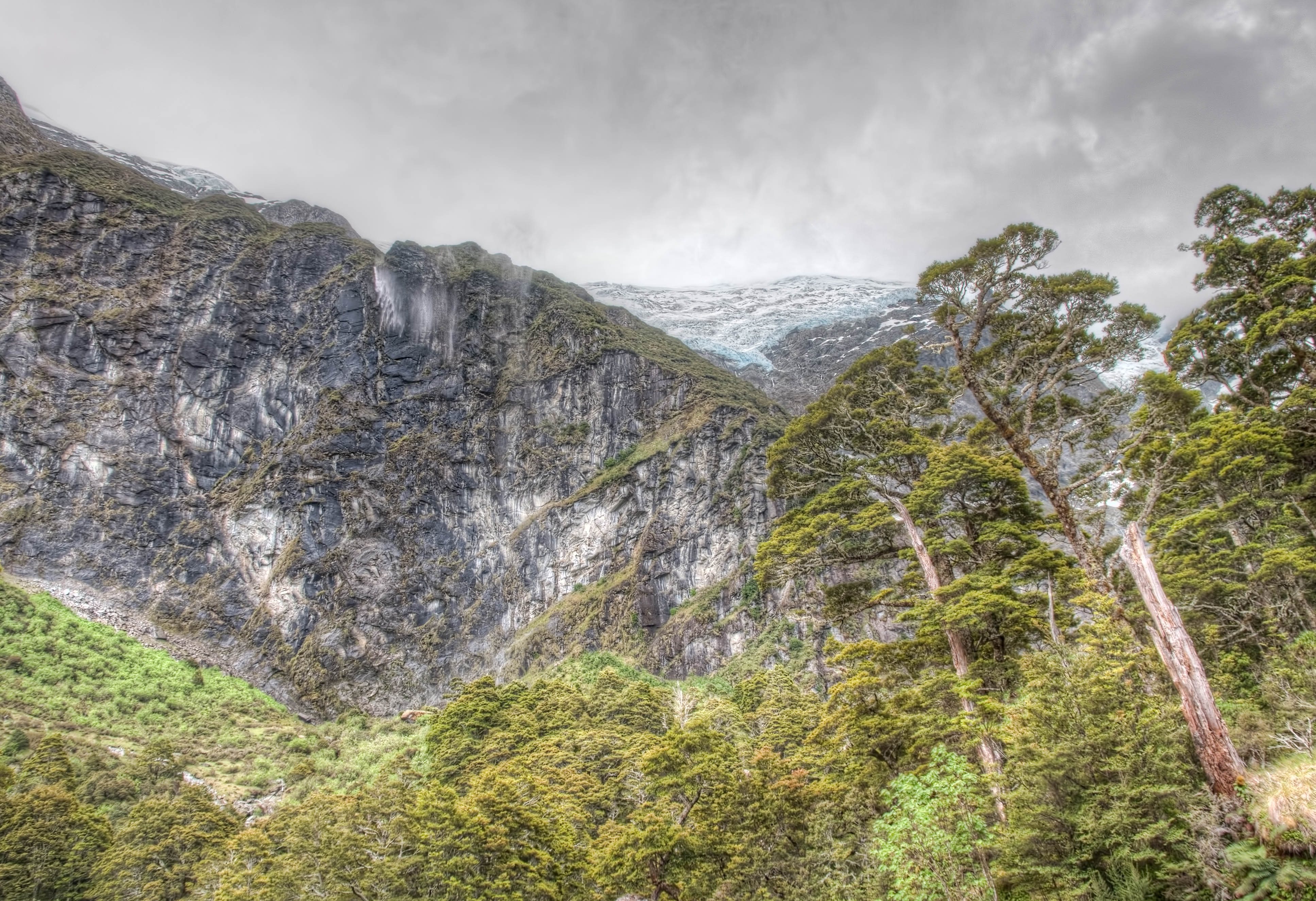
First Glacier View

Mt. Aspiring - Colin Tod Hut

Mt. Ionia and Mt. Athene
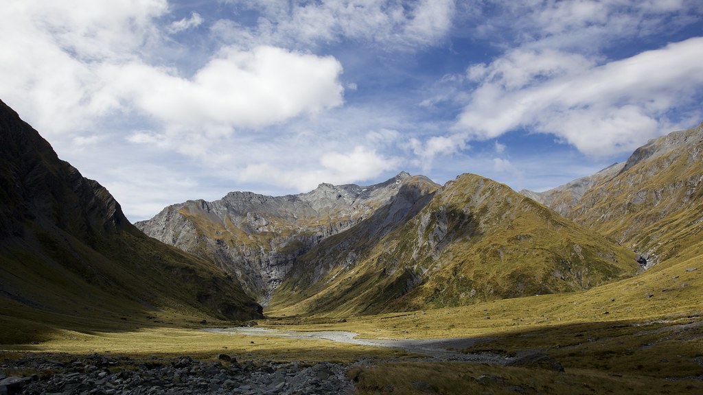
View back the way we came

Mt. Aspiring
Snow Bridge Gorge
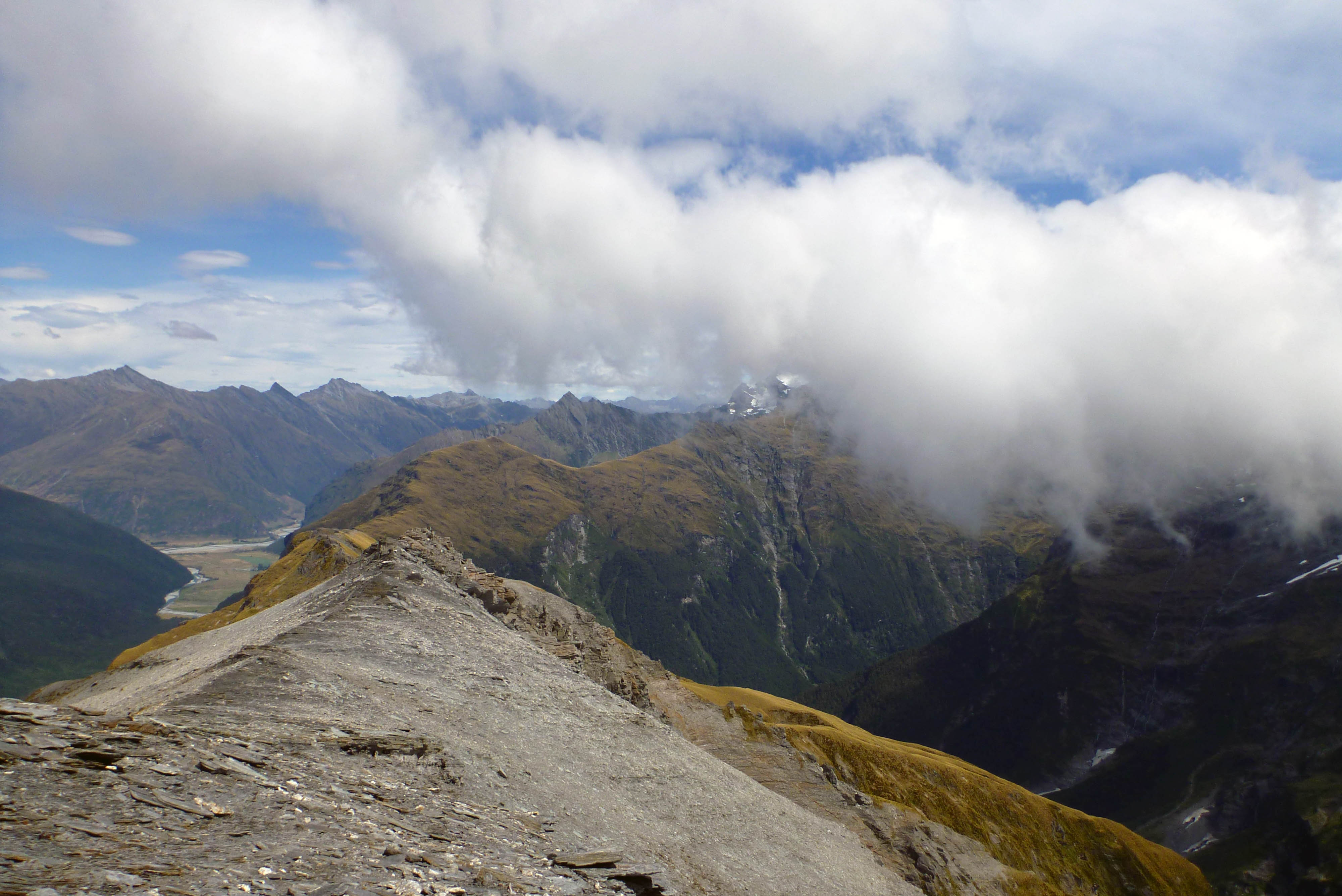
Looking south from Sysiphus Peak
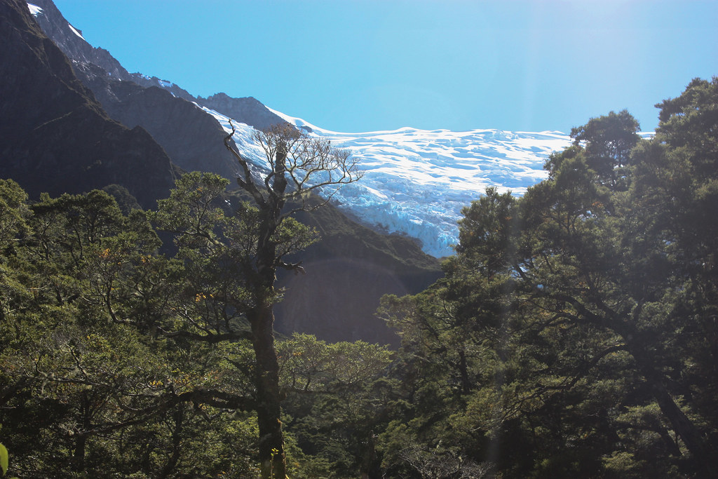
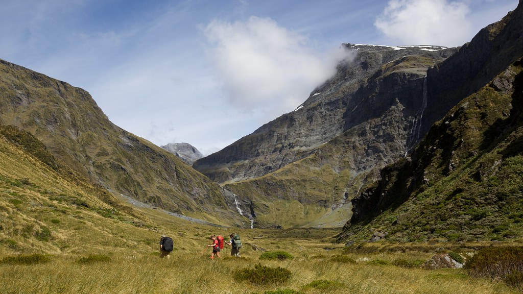
First Glacier View
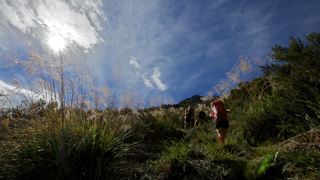
Battling Through the Tussocks. Still a Way Away
Rob Roy Glacier I
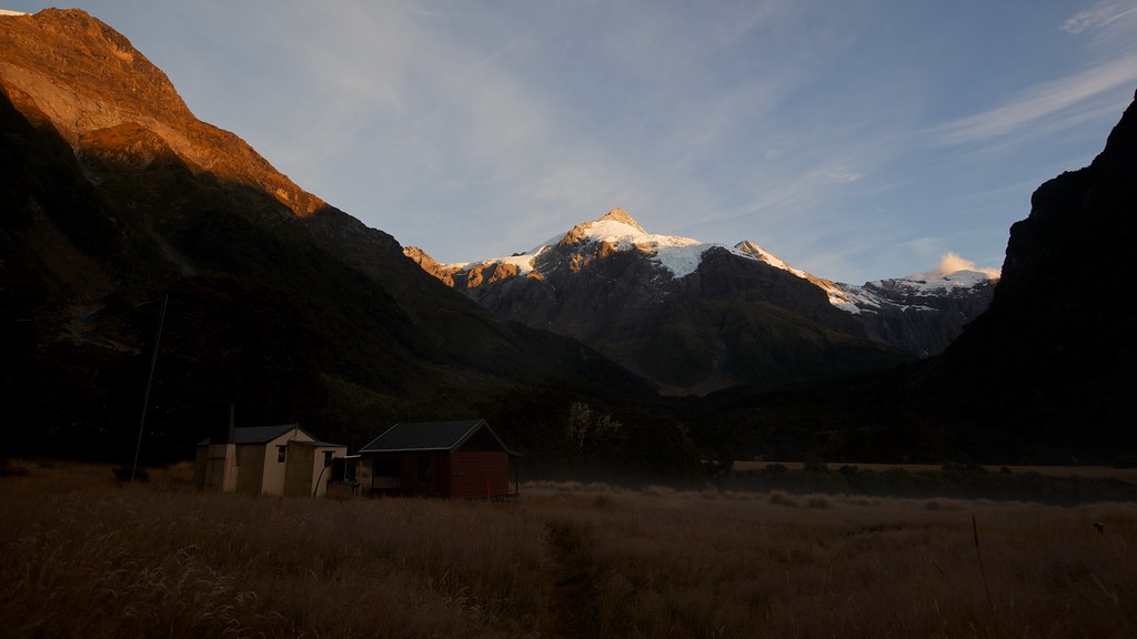
Dawn at Top Forks Hut
Topographic Map of Fastness Peak, West Coast, New Zealand
Find elevation by address:

Places near Fastness Peak, West Coast, New Zealand:
Mount Aspiring National Park
Pollux
Mount Alta
Black Peak
Mount Alba
Treble Cone Ski Area
Treble Cone
Cattle Flat
Lake Wanaka
Glendhu Bay
The Neck
Mount Hyde
Wanaka
21 Kiwi Street
Mount Burke
Roys Peak
Makarora
277 Wanaka-mount Aspiring Rd
Wanaka Top 10 Holiday Park
91 Stone St
Recent Searches:
- Elevation of Corso Fratelli Cairoli, 35, Macerata MC, Italy
- Elevation of Tallevast Rd, Sarasota, FL, USA
- Elevation of 4th St E, Sonoma, CA, USA
- Elevation of Black Hollow Rd, Pennsdale, PA, USA
- Elevation of Oakland Ave, Williamsport, PA, USA
- Elevation of Pedrógão Grande, Portugal
- Elevation of Klee Dr, Martinsburg, WV, USA
- Elevation of Via Roma, Pieranica CR, Italy
- Elevation of Tavkvetili Mountain, Georgia
- Elevation of Hartfords Bluff Cir, Mt Pleasant, SC, USA