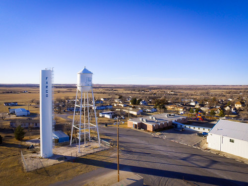
Elevation of Fargo, OK, USA
Location: United States > Oklahoma > Ellis County >
Longitude: -99.623726
Latitude: 36.3761492
Elevation: 645m / 2116feet
Barometric Pressure: 94KPa
Related Photos:
Topographic Map of Fargo, OK, USA
Find elevation by address:

Places near Fargo, OK, USA:
197897 E County Rd 41
Ellis County
1423 Elm Ave
Woodward
Woodward County
Arnett
Sharon
Innis Ave, Sharon, OK, USA
Boiling Springs State Park
Mooreland
N Main St, Mooreland, OK, USA
Camargo
2nd St, Camargo, OK, USA
Cheyenne
County Road
Chester
Seiling
Taloga
710 E Noble Ave
Roger Mills County
Recent Searches:
- Elevation of Corso Fratelli Cairoli, 35, Macerata MC, Italy
- Elevation of Tallevast Rd, Sarasota, FL, USA
- Elevation of 4th St E, Sonoma, CA, USA
- Elevation of Black Hollow Rd, Pennsdale, PA, USA
- Elevation of Oakland Ave, Williamsport, PA, USA
- Elevation of Pedrógão Grande, Portugal
- Elevation of Klee Dr, Martinsburg, WV, USA
- Elevation of Via Roma, Pieranica CR, Italy
- Elevation of Tavkvetili Mountain, Georgia
- Elevation of Hartfords Bluff Cir, Mt Pleasant, SC, USA


