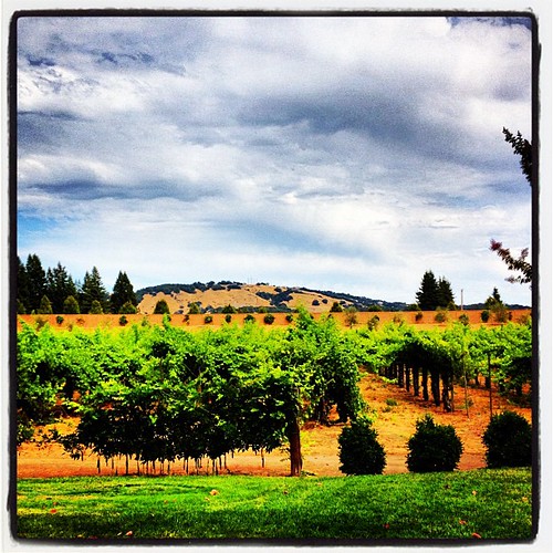
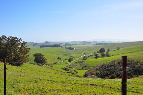
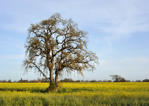
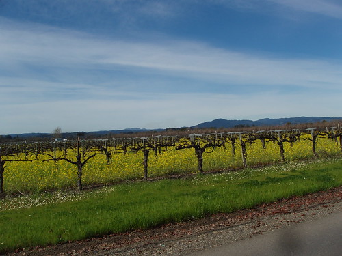
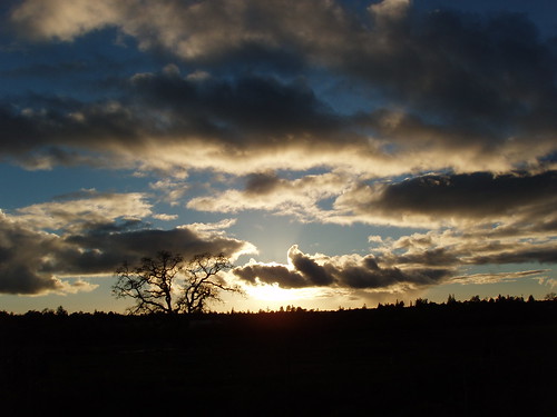
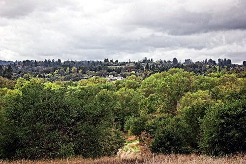
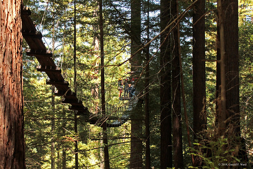
Elevation of Fannen Ave, Sebastopol, CA, USA
Location: United States > California > Sonoma County > Sebastopol >
Longitude: -122.82131
Latitude: 38.399603
Elevation: 26m / 85feet
Barometric Pressure: 101KPa
Related Photos:
Topographic Map of Fannen Ave, Sebastopol, CA, USA
Find elevation by address:

Places near Fannen Ave, Sebastopol, CA, USA:
Sebastopol
6760 Mckinley St
6790 Mckinley St #170
6910 Mckinley St
564 Parquet St
Florence Avenue
465 Morris St
7669 Leland St
1101 Gravenstein Hwy S
7920 Valentine Ave
600 Pleasant Hill Rd
484 Grundel Dr
900 Pleasant Hill Rd
E Hurlbut Ave, Sebastopol, CA, USA
881 Dorthel St
Gravenstein Hwy S, Sebastopol, CA, USA
Laguna De Santa Rosa Foundation
7231 Occidental Rd
1045 Irwin Ln
Occidental Road
Recent Searches:
- Elevation of Corso Fratelli Cairoli, 35, Macerata MC, Italy
- Elevation of Tallevast Rd, Sarasota, FL, USA
- Elevation of 4th St E, Sonoma, CA, USA
- Elevation of Black Hollow Rd, Pennsdale, PA, USA
- Elevation of Oakland Ave, Williamsport, PA, USA
- Elevation of Pedrógão Grande, Portugal
- Elevation of Klee Dr, Martinsburg, WV, USA
- Elevation of Via Roma, Pieranica CR, Italy
- Elevation of Tavkvetili Mountain, Georgia
- Elevation of Hartfords Bluff Cir, Mt Pleasant, SC, USA


