Elevation of Fancy Farm, KY, USA
Location: United States > Kentucky >
Longitude: -88.791360
Latitude: 36.7994279
Elevation: 134m / 440feet
Barometric Pressure: 100KPa
Elevation Map:
Satellite Map:
Related Photos:

IMG_8385_lr
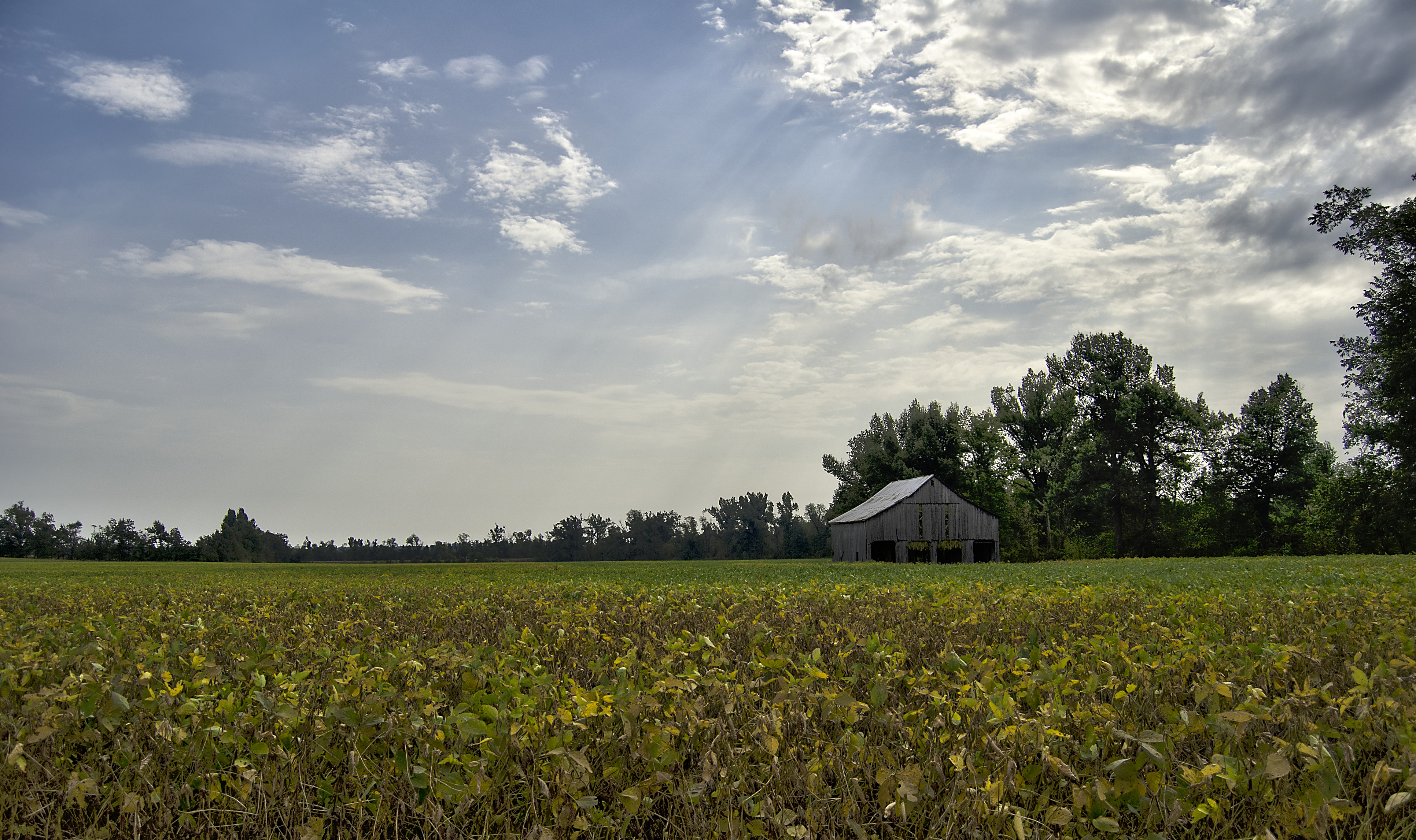
Tobacco Barn in the Soy

Lovely Sunset
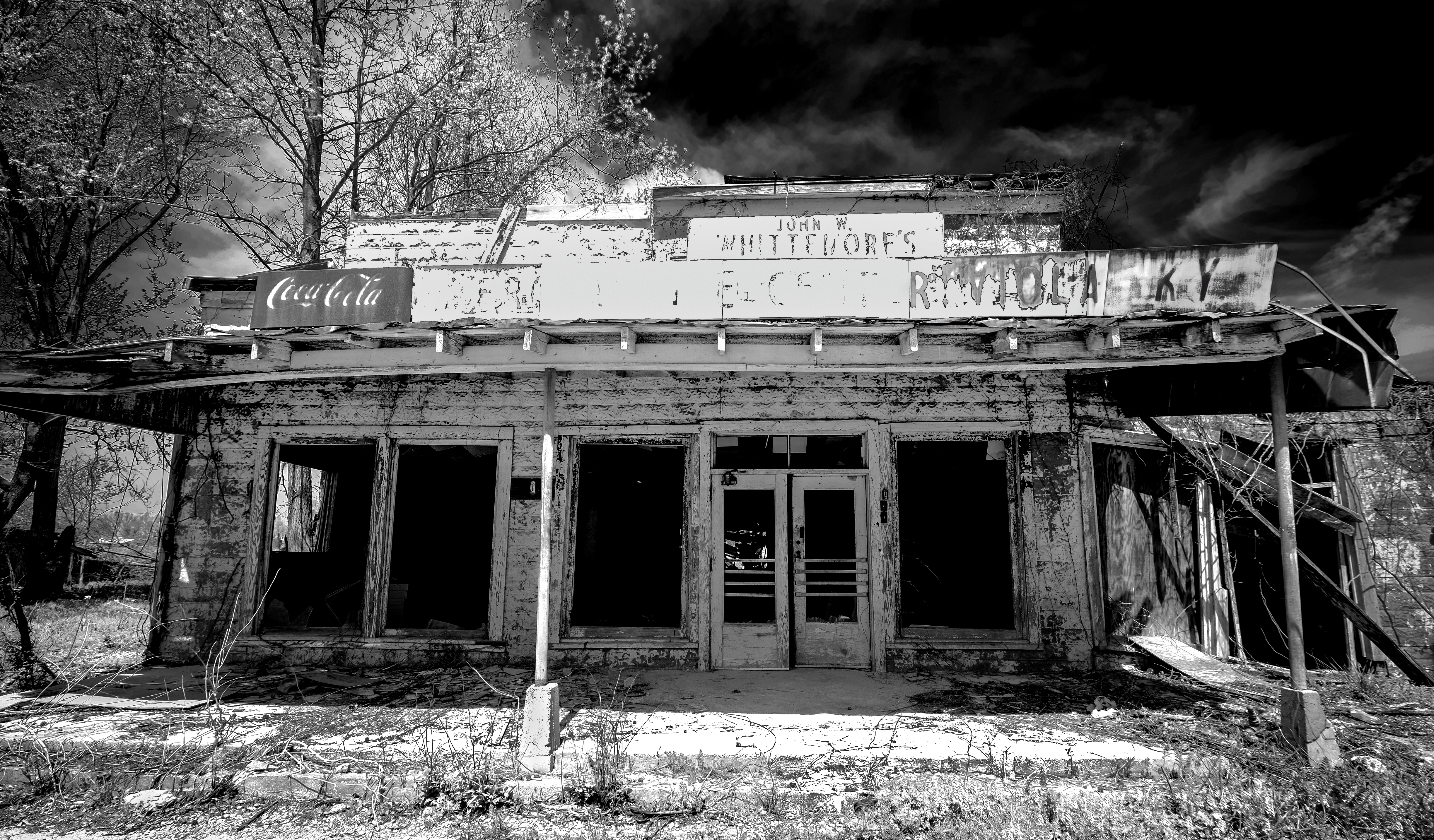
Viola Store BW
Topographic Map of Fancy Farm, KY, USA
Find elevation by address:

Places in Fancy Farm, KY, USA:
Places near Fancy Farm, KY, USA:
141 Ky-339
375 Elder Rd
7545 Ky-80
45 Co Rd, Fancy Farm, KY, USA
182 Cope Rd
2818 Ky-80
145 Bel Aire Dr
Graves County
Mayfield, KY, USA
Co Rd, Cunningham, KY, USA
60 Parrott St, Hickory, KY, USA
Hickory
Cunningham
Sellars Road
1651 Us-45
U.s. 45
Mayfield
Wingo
E South St, Mayfield, KY, USA
High Point Baptist Church
Recent Searches:
- Elevation of Corso Fratelli Cairoli, 35, Macerata MC, Italy
- Elevation of Tallevast Rd, Sarasota, FL, USA
- Elevation of 4th St E, Sonoma, CA, USA
- Elevation of Black Hollow Rd, Pennsdale, PA, USA
- Elevation of Oakland Ave, Williamsport, PA, USA
- Elevation of Pedrógão Grande, Portugal
- Elevation of Klee Dr, Martinsburg, WV, USA
- Elevation of Via Roma, Pieranica CR, Italy
- Elevation of Tavkvetili Mountain, Georgia
- Elevation of Hartfords Bluff Cir, Mt Pleasant, SC, USA