Elevation of Fairway Circle, Fairway Cir, Gainesboro, VA, USA
Location: United States > Virginia > Frederick County > Gainesboro > Cross Junction >
Longitude: -78.317172
Latitude: 39.319859
Elevation: 292m / 958feet
Barometric Pressure: 98KPa
Elevation Map:
Satellite Map:
Related Photos:
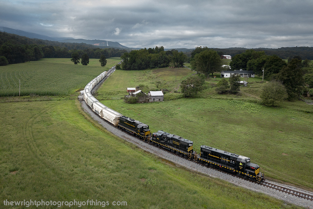
INDIAN HOLLOW

ELEVATED SCENERY
FRONT YARD VIEW
Over 800 views! Thanks everyone

Pee Wee Point

Cacapon View

The View

Kevin and Camaro in High View

Thidawan and My New Camaro

Chevy Aveo

Clouds 2
High View

High View Post Office

DSCN7084 152 Allegany View Sign

DSCN7079 150 Jct with Allegany View Spur

DSCN7078 150 Jct with Allegany View Spur

P1040046 79 TT overlook west view

DSCN7077 150 Jct with Allegany View Spur

DSCN7076 150 Jct with Allegany View Spur

P1040043 79 TT overlook west view

1999-05-28-15

SANDMAN ROLLING DOWNHILL

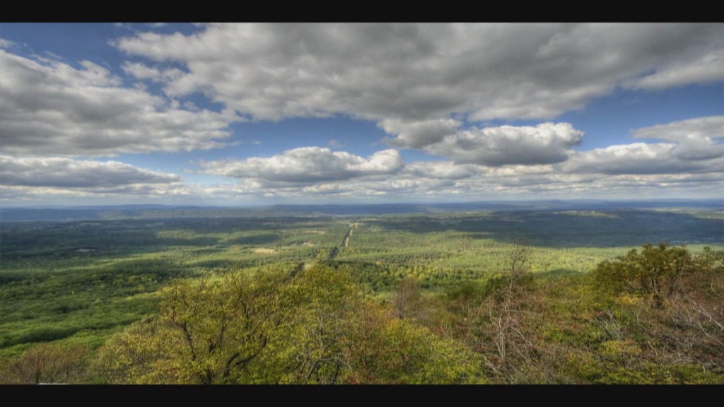
VIRGINIA HIGHLANDS

GIVING ALL THEY GOT

FILTERED HEIGHTS

UP ROUND HILL

GAP RUN

INDIAN HOLLOW

VALLEY FARMLAND

INTO THE SUN

THE SANDMAN COMETH!
UP THE VALLEY (EXPLORED 9/15/18)

Virginia Farm Land

Green mail
Sunrise over NSSA
2010-10-04

The cove camp grounds

The peaceful #northriver meandering along the base of #icemountain #northrivermillsday #northrivermills #almostheaven #wildandwonderful #westvirginia #hampshirecountywv

#viewfromthetop #ravenrock #icemountain #northrivermillsday #northrivermills #almostheaven #wildandwonderful #westvirginia #wv_igers #scenicviews #hampshirecountywv

35°F on a 75°F day! ❄️ #ice vents along the #algific #talus slopes of #icemountain #northrivermillsday #northrivermills #almostheaven #wildandwonderful #westvirginia (FYI that's a sheet of ice along the bottom of the ice vent)

The cove camp grounds
Topographic Map of Fairway Circle, Fairway Cir, Gainesboro, VA, USA
Find elevation by address:

Places near Fairway Circle, Fairway Cir, Gainesboro, VA, USA:
634 Lakeview Dr
Lakeview Dr, Cross Junction, VA, USA
101 Vista Ct
Cross Junction
1085 Collinsville Rd
Gainesboro
Gore
Gore Rd, Gore, VA, USA
506 Shickle Ln
531 Carpers Pike
2214 Siler Rd
280 Fairview Rd
Gainesboro Rd, Winchester, VA, USA
975 Hollow Rd
90 Violet Ridge Dr
318 Winding Ridge Ln
334 Sand Mine Rd
Winding Ridge Lane
87 Hill Crest Dr
Pine Crest Ln, Winchester, VA, USA
Recent Searches:
- Elevation of Corso Fratelli Cairoli, 35, Macerata MC, Italy
- Elevation of Tallevast Rd, Sarasota, FL, USA
- Elevation of 4th St E, Sonoma, CA, USA
- Elevation of Black Hollow Rd, Pennsdale, PA, USA
- Elevation of Oakland Ave, Williamsport, PA, USA
- Elevation of Pedrógão Grande, Portugal
- Elevation of Klee Dr, Martinsburg, WV, USA
- Elevation of Via Roma, Pieranica CR, Italy
- Elevation of Tavkvetili Mountain, Georgia
- Elevation of Hartfords Bluff Cir, Mt Pleasant, SC, USA