Elevation of Fairview Rd, Coquille, OR, USA
Location: United States > Oregon > Coos County > Coquille >
Longitude: -124.02517
Latitude: 43.2827625
Elevation: 79m / 259feet
Barometric Pressure: 100KPa
Elevation Map:
Satellite Map:
Related Photos:

Coos Bay 2

Mystery of the overgrown track... 20101012_4897

Coos Bay 3

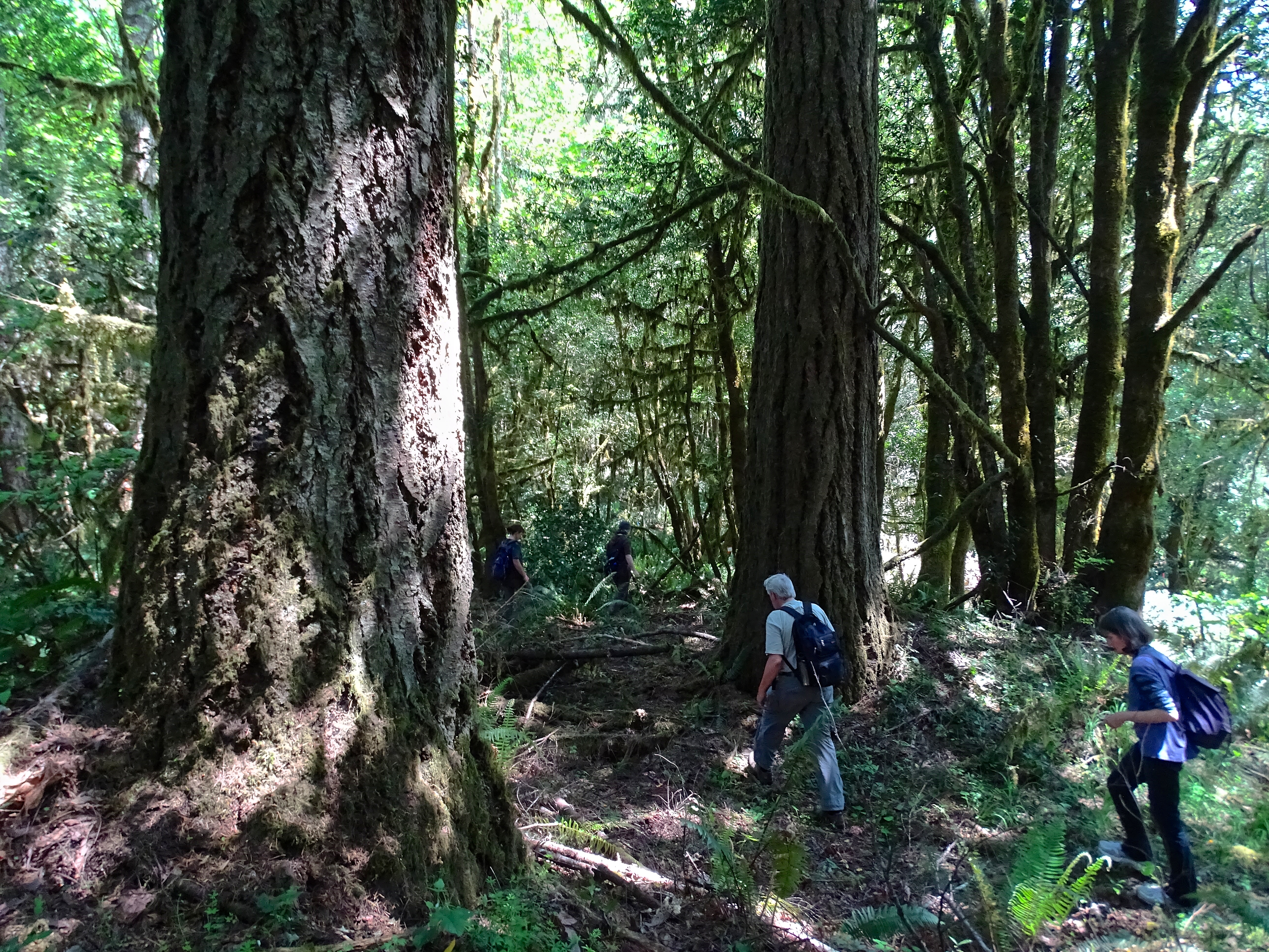
Millicoma Forest DSC06458

Route of proposed pipeline near Dora, MP 27

Route of proposed pipeline near Dora, MP 27

Weyerhaeuser Millicoma Tree Farm DSC06472
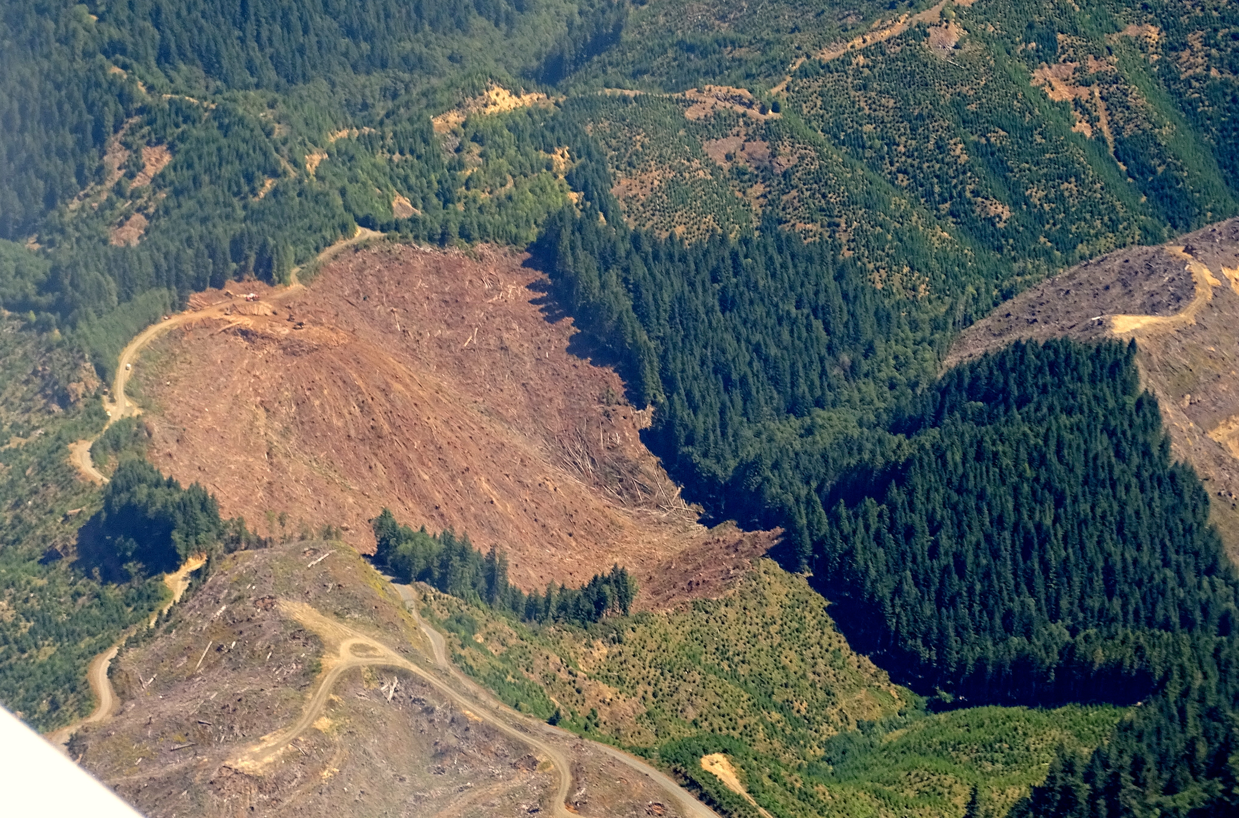
Weyerhaeuser's Forest DSC06552

Weyerhaeuser Forest DSC06441

Weyerhaeuser Millicoma Tree Farm DSC06473

Weyerhaeuser Forest DSC06445

Weyerhaeuser's Forest DSC06507

Weyerhaeuser's Forest DSC06535

Weyerhaeuser Forest DSC06477
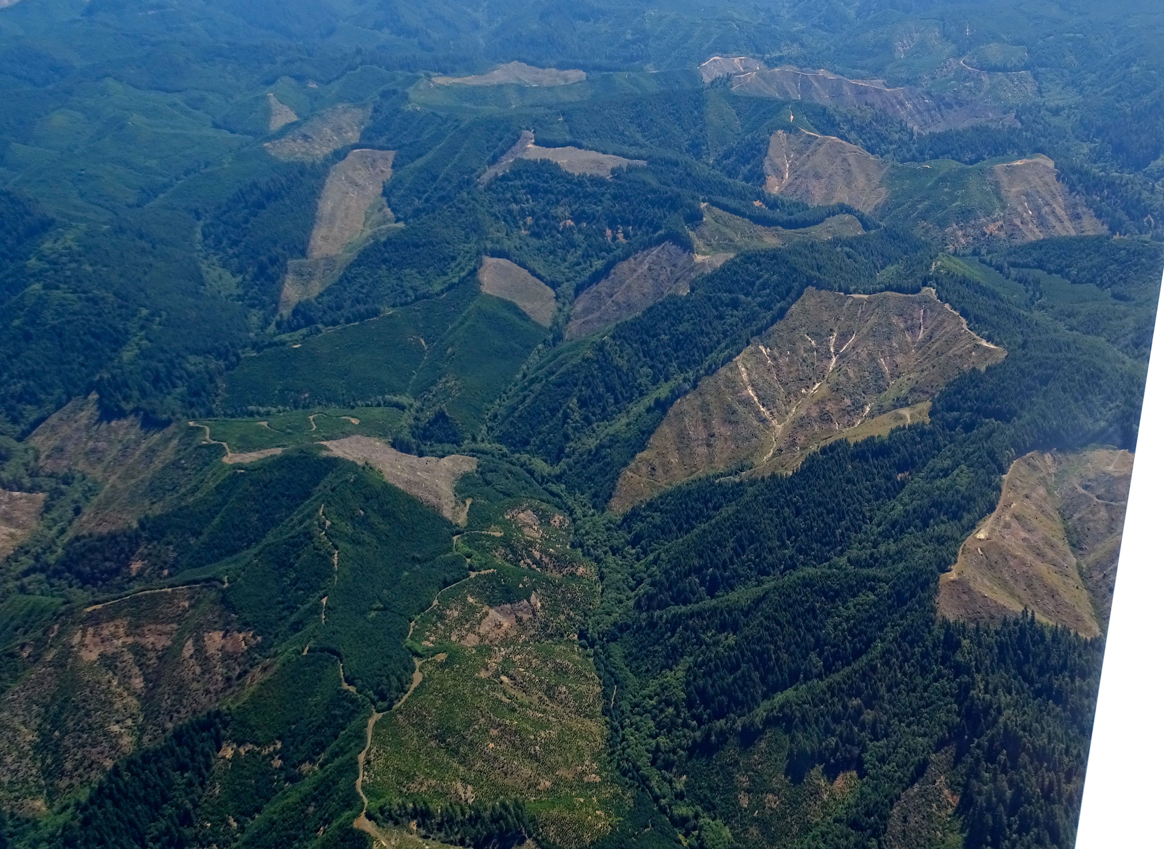
Weyerhaeuser's Forest DSC06531
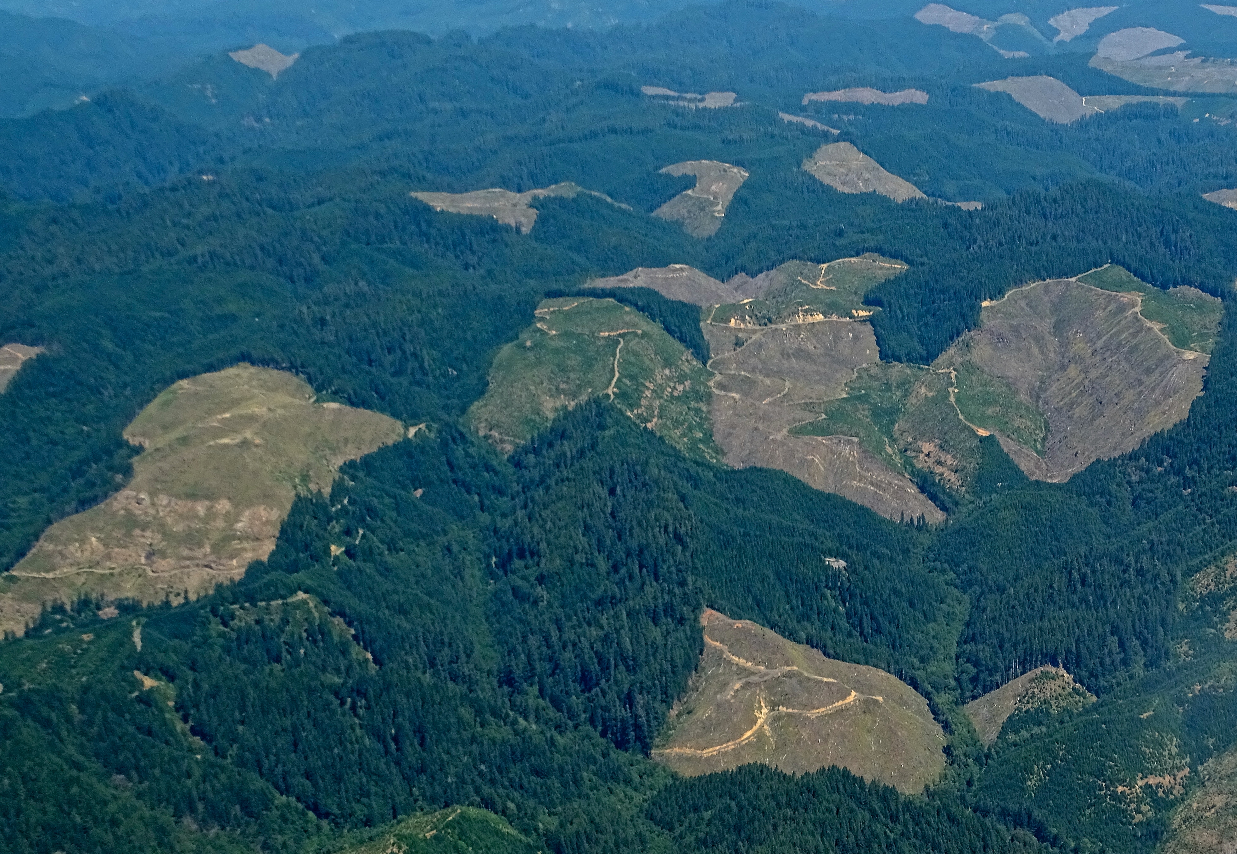
Weyerhaeuser's Forest DSC06556

Weyerhaeuser's Forest DSC06515

Weyerhaeuser's Forest DSC06555
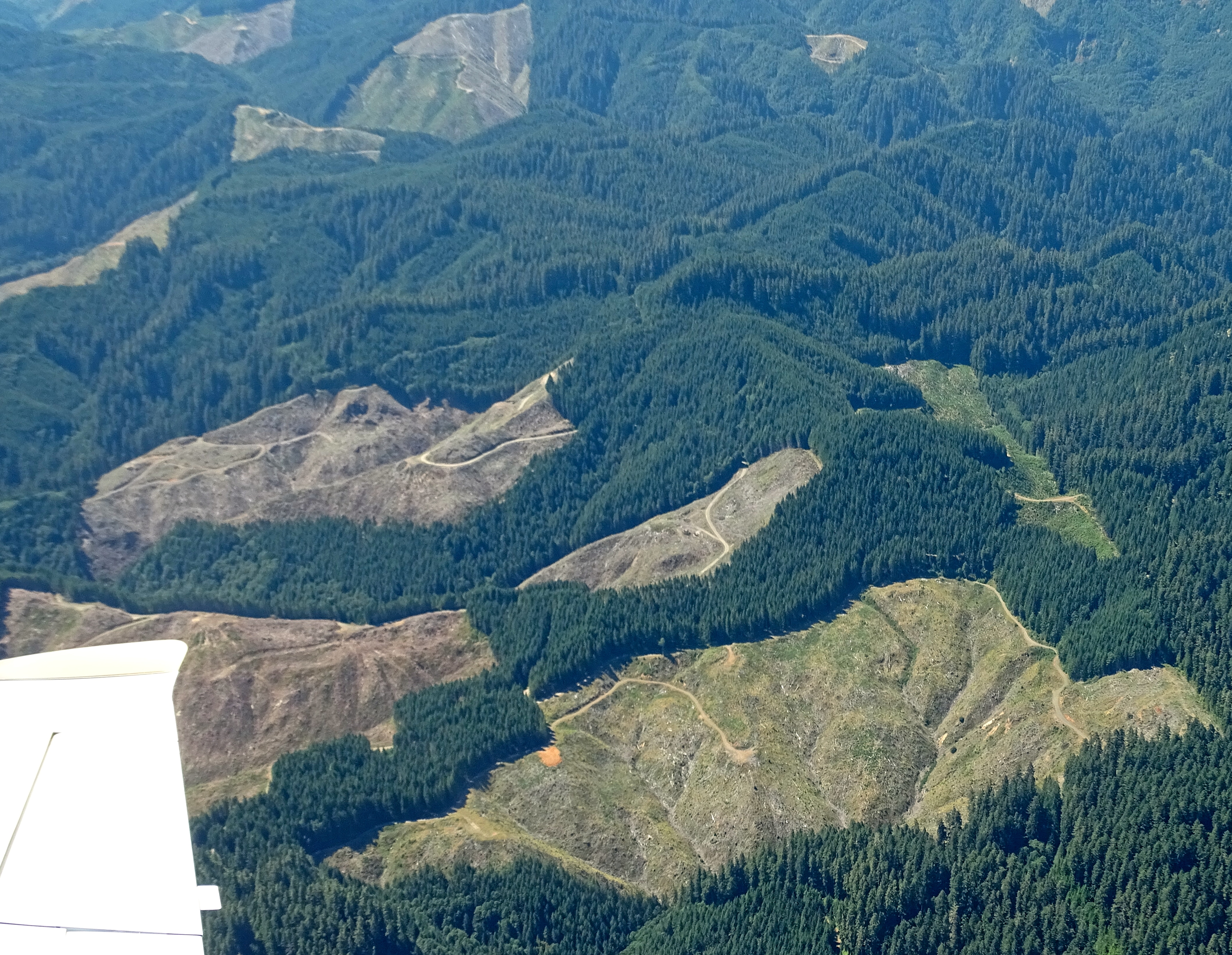
Weyerhaeuser Millicoma Tree Farm DSC06464

359_USA_Oregon_Sept_2012 copy
Route of proposed Jordan Cove pipeline on public land

Route of proposed pipeline near Dora, MP 27

Middle Creek 2014-05-26 (1)

fairview cemetery (fairview, or)
Topographic Map of Fairview Rd, Coquille, OR, USA
Find elevation by address:

Places near Fairview Rd, Coquille, OR, USA:
63084 Fairview Rd
60062 Fairview Rd
98728 S Coos River Ln
96371 Wren Smith Rd
Wren Smith Road
Coos County
99349 Lone Pine Ln
63452 Daniels Creek Rd
95625 Sumner-fairview Rd
61451 Lower Mattson Rd
60669 S Sumner Rd
95646 Coos Sumner Ln
12178 Hwy 241
95280 Stock Slough Ln
65447 Millicoma Rd
95440 Lillian Slough Ln
67310 W Fork Millicoma Rd
Dora
94846 Brunswick Ln
94787 Mark Pl
Recent Searches:
- Elevation of Corso Fratelli Cairoli, 35, Macerata MC, Italy
- Elevation of Tallevast Rd, Sarasota, FL, USA
- Elevation of 4th St E, Sonoma, CA, USA
- Elevation of Black Hollow Rd, Pennsdale, PA, USA
- Elevation of Oakland Ave, Williamsport, PA, USA
- Elevation of Pedrógão Grande, Portugal
- Elevation of Klee Dr, Martinsburg, WV, USA
- Elevation of Via Roma, Pieranica CR, Italy
- Elevation of Tavkvetili Mountain, Georgia
- Elevation of Hartfords Bluff Cir, Mt Pleasant, SC, USA