Elevation of Fairview Peak, Nevada, USA
Location: United States > Nevada > Fallon >
Longitude: -118.15290
Latitude: 39.2249247
Elevation: 2456m / 8058feet
Barometric Pressure: 75KPa
Elevation Map:
Satellite Map:
Related Photos:
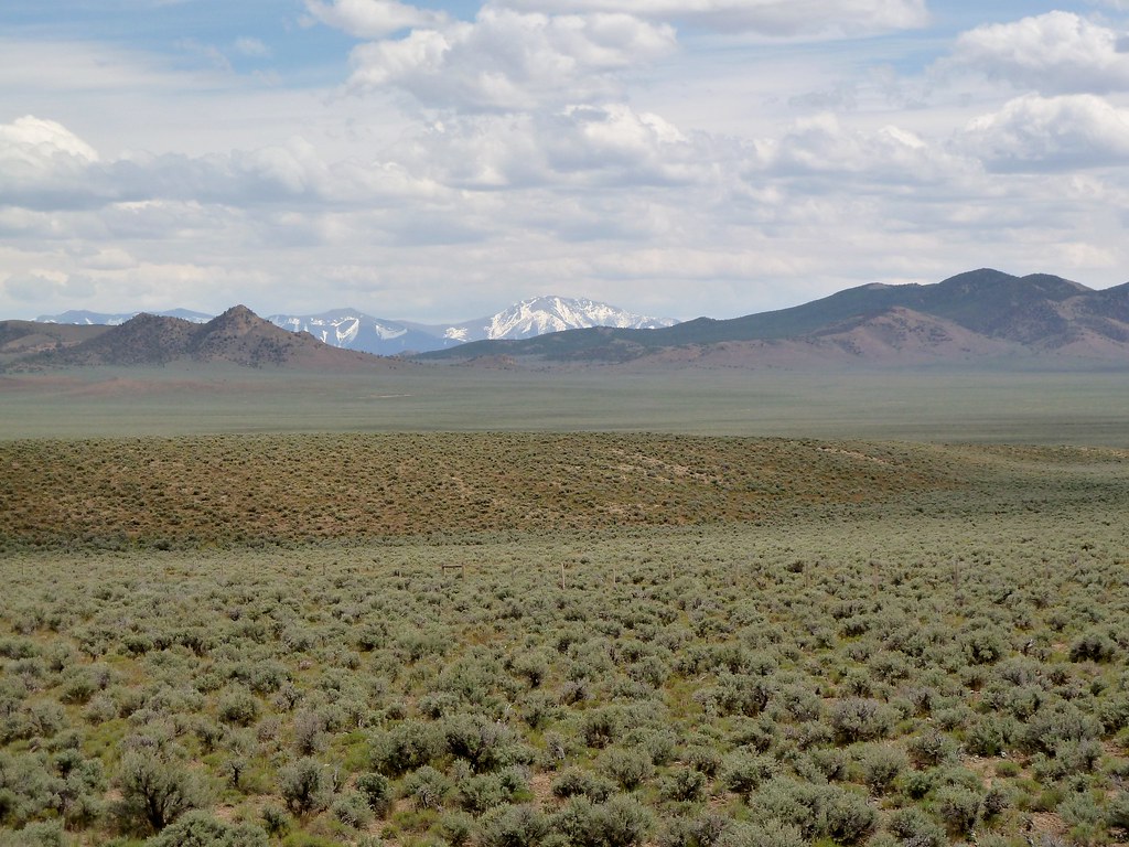
View from Route 50, Nevada
Topographic Map of Fairview Peak, Nevada, USA
Find elevation by address:

Places near Fairview Peak, Nevada, USA:
Sand Mountain
Mount Ferguson
C J Drive
7900 Pasture Rd
Twenty Mile Beach Campground
Garfield Hills Hp
336 Betty Jane Dr
Betty Jane Dr, Hawthorne, NV, USA
Whiskey Flats Rv Park
574 W Cottonwood Dr
644 B St
Hawthorne
344 B St
194 B St
184 B St
164 B St
154 B St
144 B St
Mineral County
Mount Grant
Recent Searches:
- Elevation of Corso Fratelli Cairoli, 35, Macerata MC, Italy
- Elevation of Tallevast Rd, Sarasota, FL, USA
- Elevation of 4th St E, Sonoma, CA, USA
- Elevation of Black Hollow Rd, Pennsdale, PA, USA
- Elevation of Oakland Ave, Williamsport, PA, USA
- Elevation of Pedrógão Grande, Portugal
- Elevation of Klee Dr, Martinsburg, WV, USA
- Elevation of Via Roma, Pieranica CR, Italy
- Elevation of Tavkvetili Mountain, Georgia
- Elevation of Hartfords Bluff Cir, Mt Pleasant, SC, USA