Elevation of Everton, AR, USA
Location: United States > Arkansas > Boone County > Prairie Township >
Longitude: -92.906837
Latitude: 36.1553504
Elevation: 261m / 856feet
Barometric Pressure: 98KPa
Elevation Map:
Satellite Map:
Related Photos:
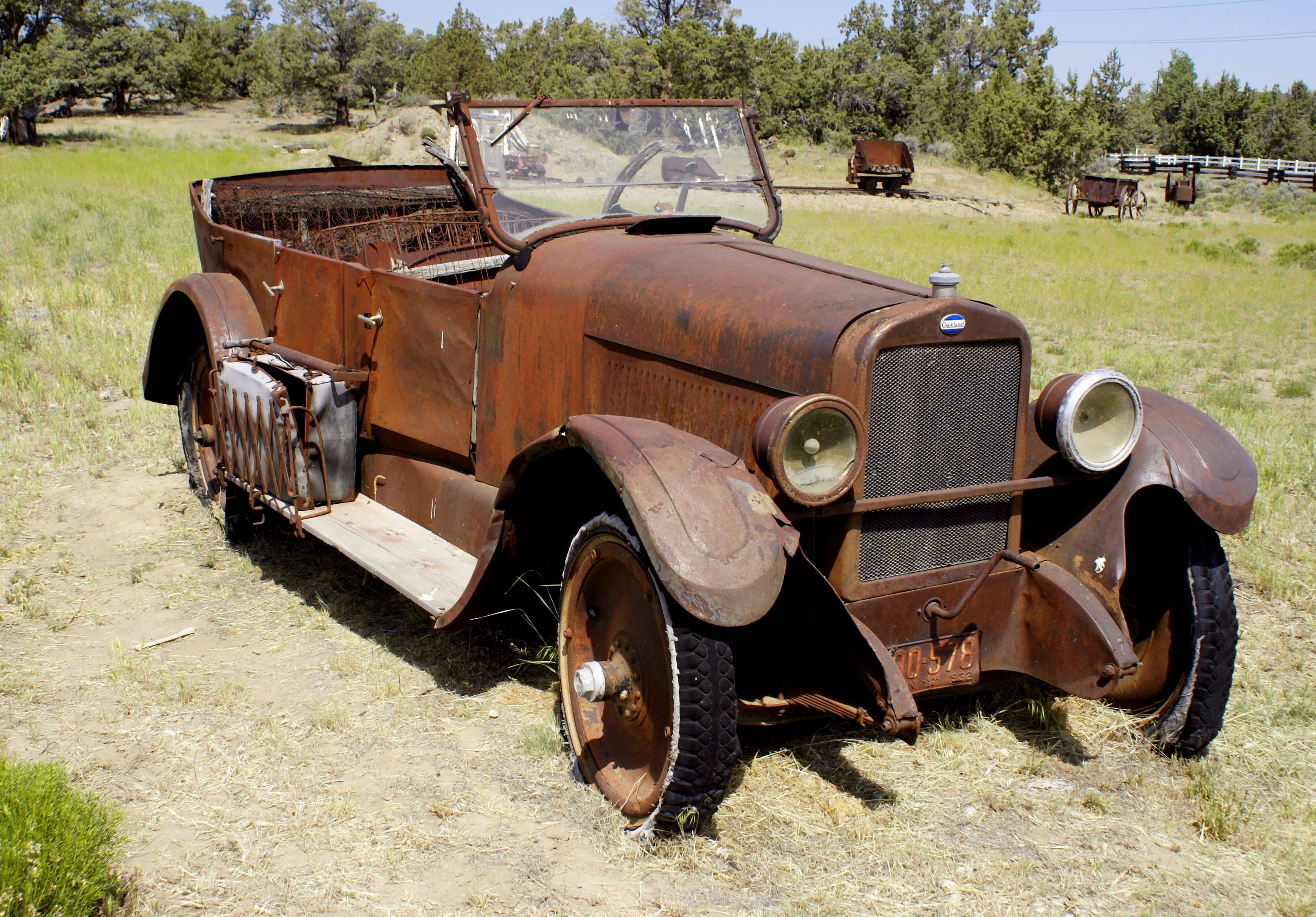
An Oakland

Frozen Pine
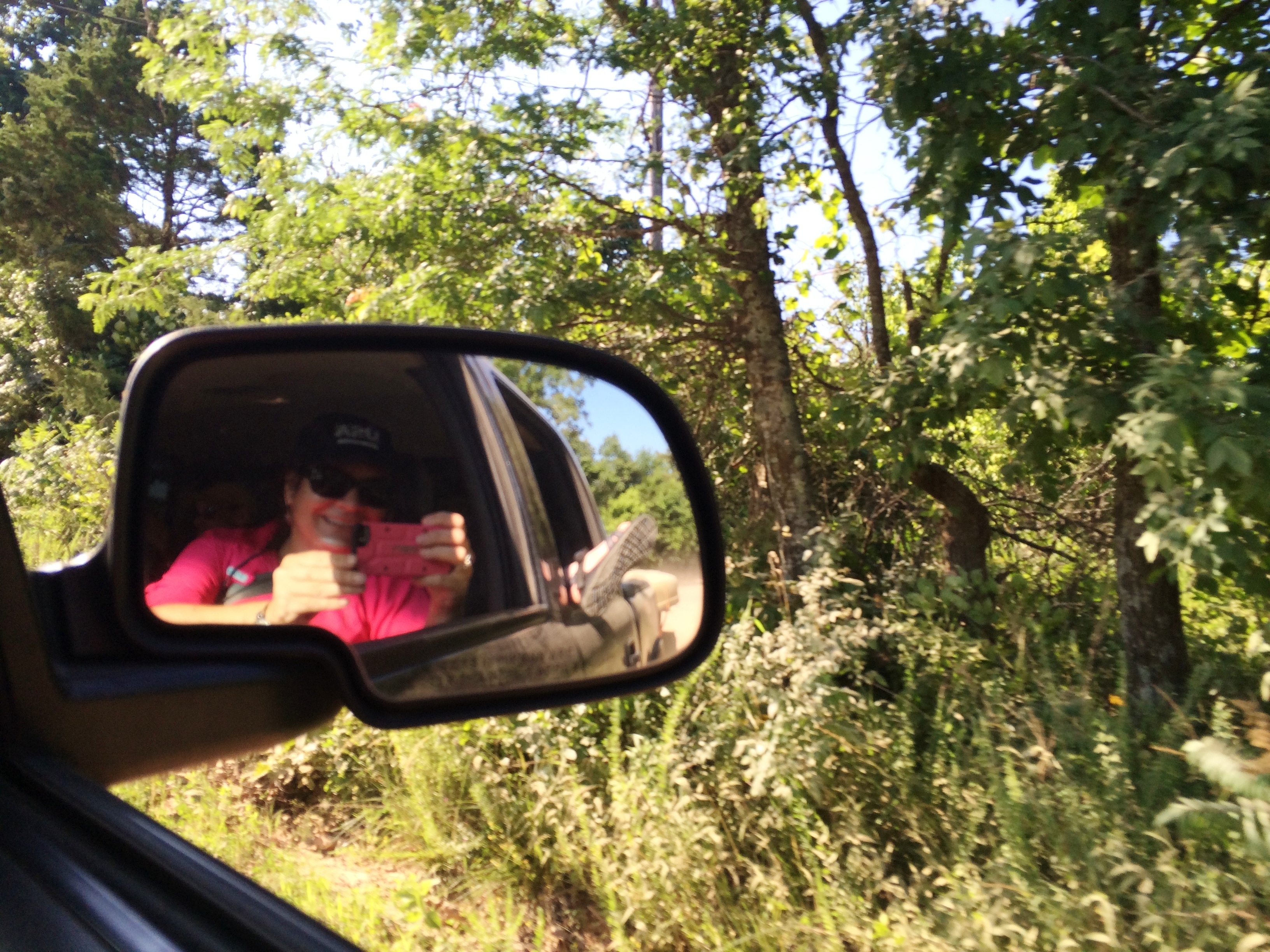
Driving to the Launch Point - Canoe Trip on the Buffalo National River, Arkansas June 12 & 13, 2015
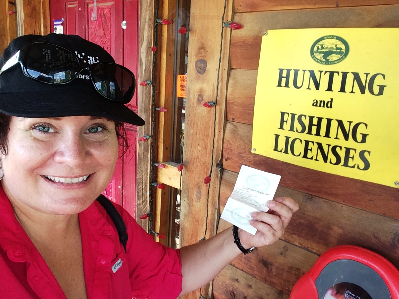
My Arkansas Fishing License! Canoe Trip on the Buffalo National River, Arkansas June 12 & 13, 2015
Canoe Trip on the Buffalo National River, Arkansas June 12 & 13, 2015
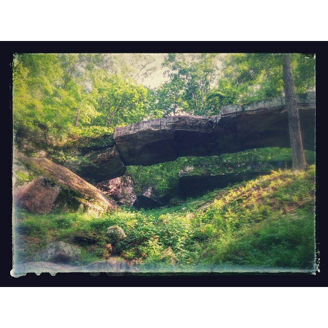
The famous Natural Bridge.... #nature #rocks #rocks&stuff #thewoods #goforawalk

Reflecting on the Past

Arkansas sky. Heading home
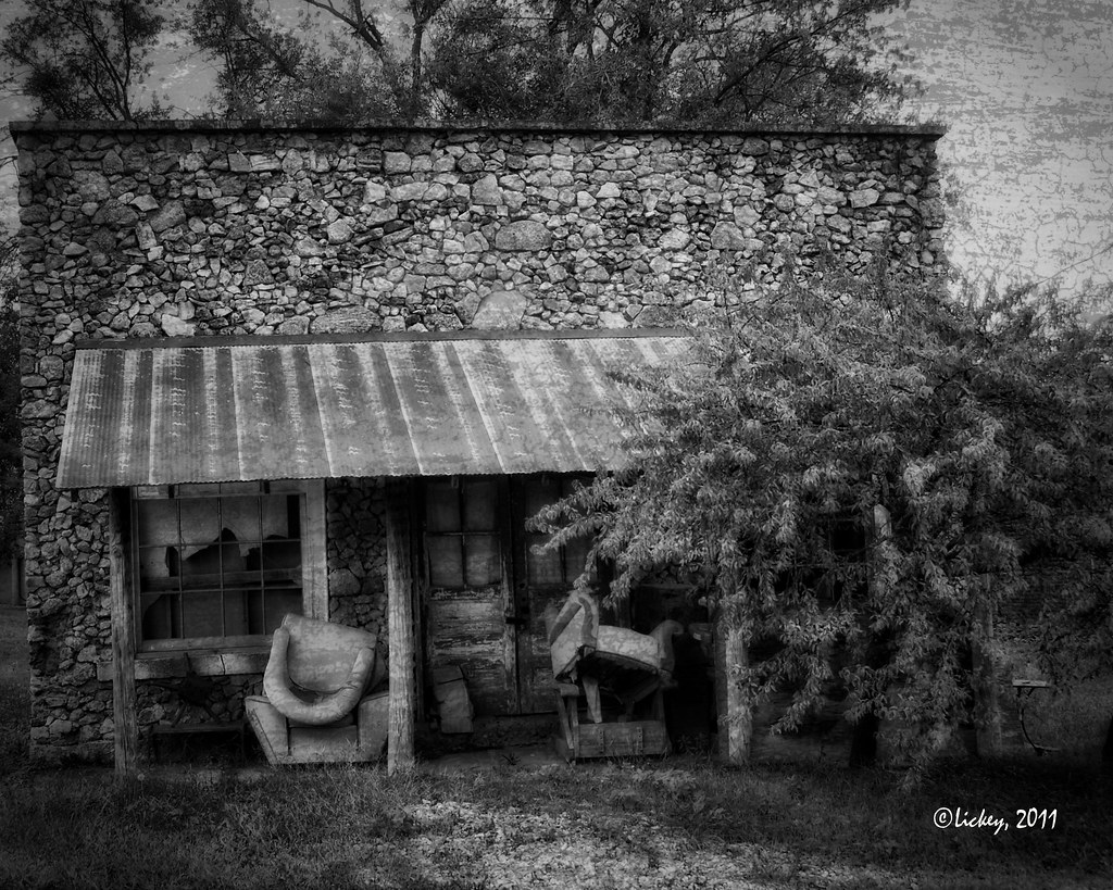
Whittler's porch.
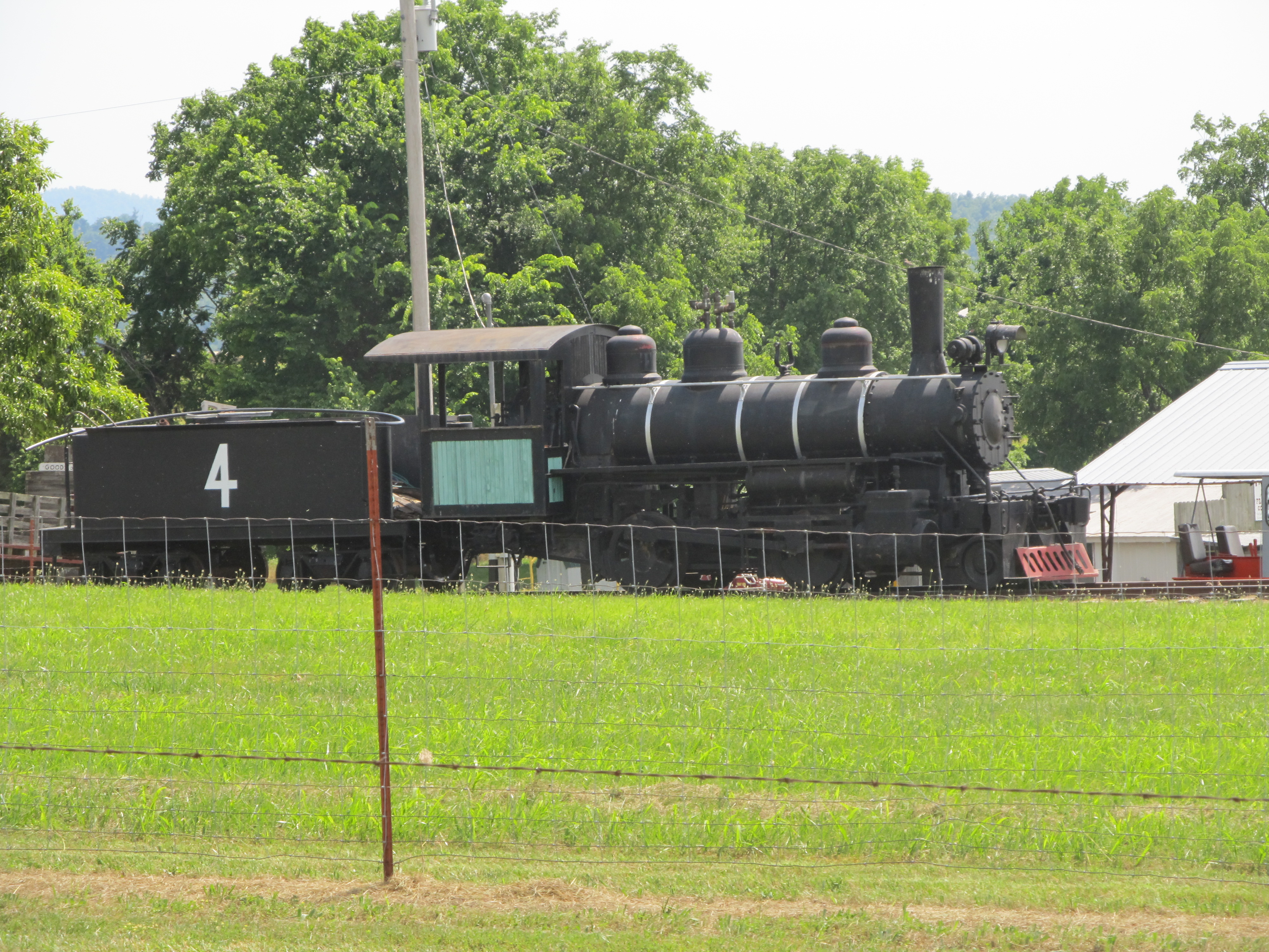
Bellefonte Portland Cement Steam Locomotive #4
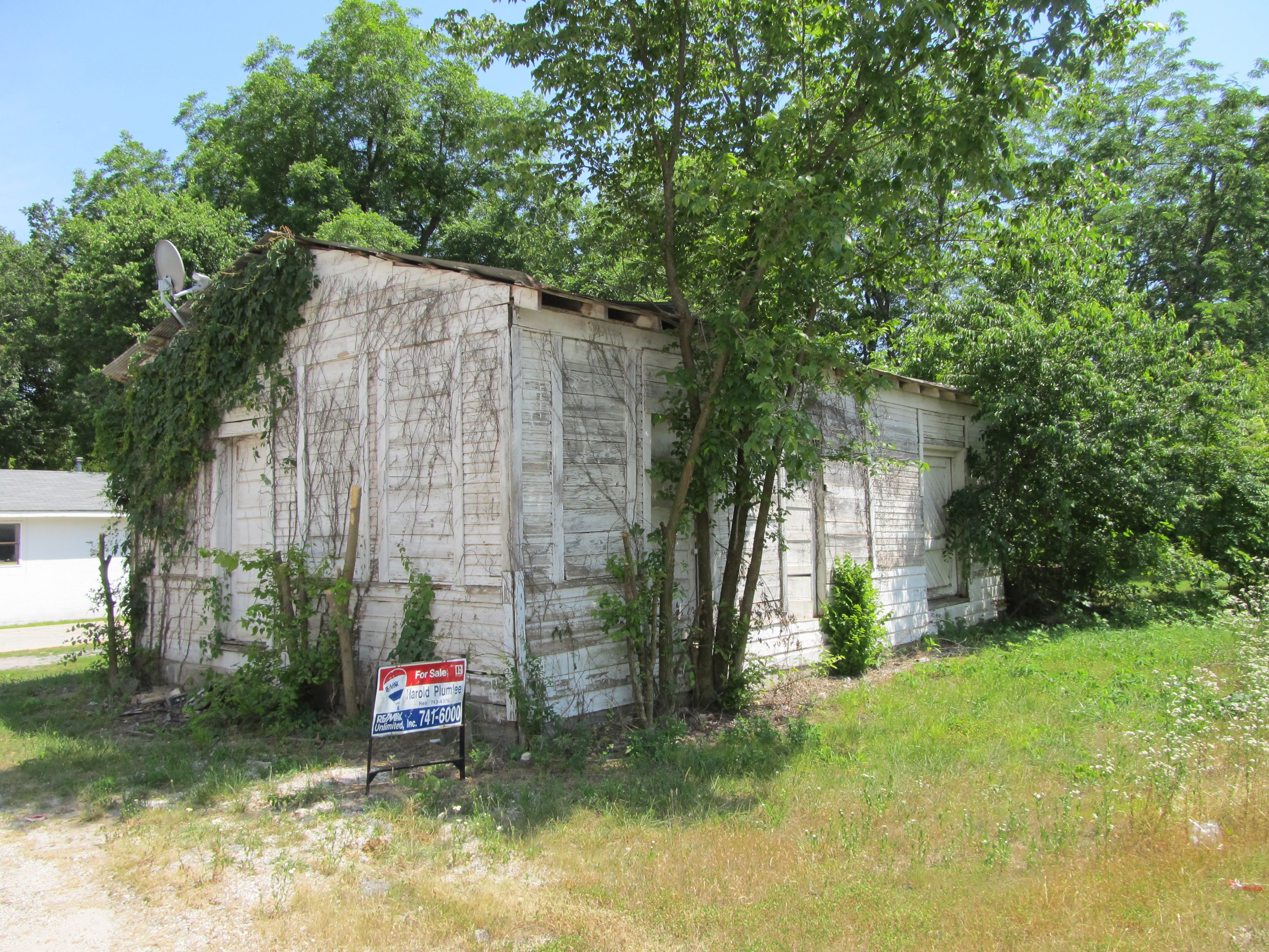
Pindall M&NA Depot
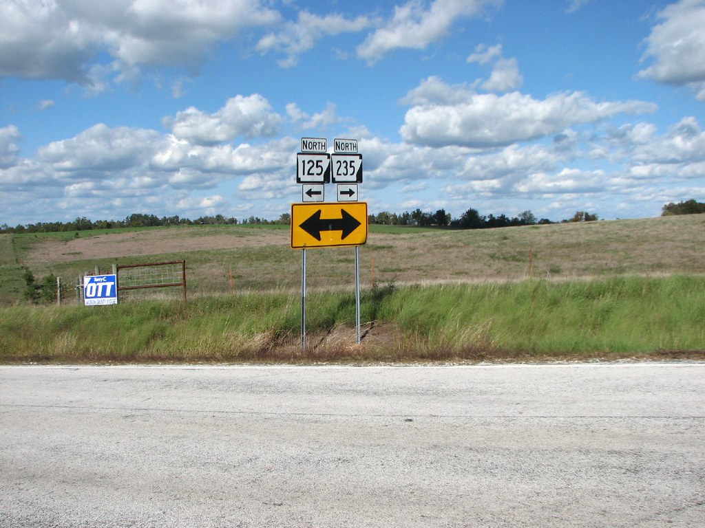
Which Way Is North?
Topographic Map of Everton, AR, USA
Find elevation by address:

Places in Everton, AR, USA:
Places near Everton, AR, USA:
12095 Rally Hill Rd
Prairie Township
Blankenship Rd S, Everton, AR, USA
Rally Hill Road East
Rally Hill Road
Meeks Creek Rd, Everton, AR, USA
283a
Western Grove
128 Wild Rose Ln
Jefferson Township
Prairie Township
Valley Springs
School St, Harrison, AR, USA
Pindall
19302 Us-65
Bellefonte Township
Yardelle
Prairie Township
AR-, Harrison, AR, USA
Garrett St, Harrison, AR, USA
Recent Searches:
- Elevation of Corso Fratelli Cairoli, 35, Macerata MC, Italy
- Elevation of Tallevast Rd, Sarasota, FL, USA
- Elevation of 4th St E, Sonoma, CA, USA
- Elevation of Black Hollow Rd, Pennsdale, PA, USA
- Elevation of Oakland Ave, Williamsport, PA, USA
- Elevation of Pedrógão Grande, Portugal
- Elevation of Klee Dr, Martinsburg, WV, USA
- Elevation of Via Roma, Pieranica CR, Italy
- Elevation of Tavkvetili Mountain, Georgia
- Elevation of Hartfords Bluff Cir, Mt Pleasant, SC, USA