Elevation of Esashi, Esashi District, Hokkaido Prefecture, Japan
Location: Japan > Hokkaido Prefecture > Esashi District >
Longitude: 142.581410
Latitude: 44.9387137
Elevation: 10m / 33feet
Barometric Pressure: 101KPa
Elevation Map:
Satellite Map:
Related Photos:
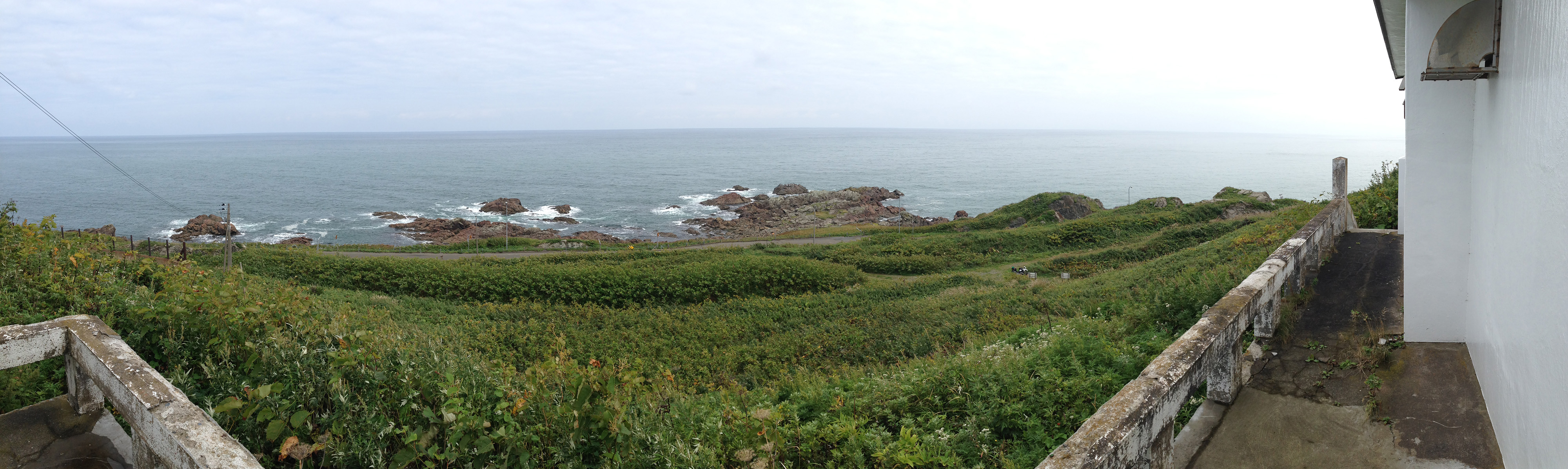
tip of Cape Camui, view from Kitami Kamuimisaki lighthouse.
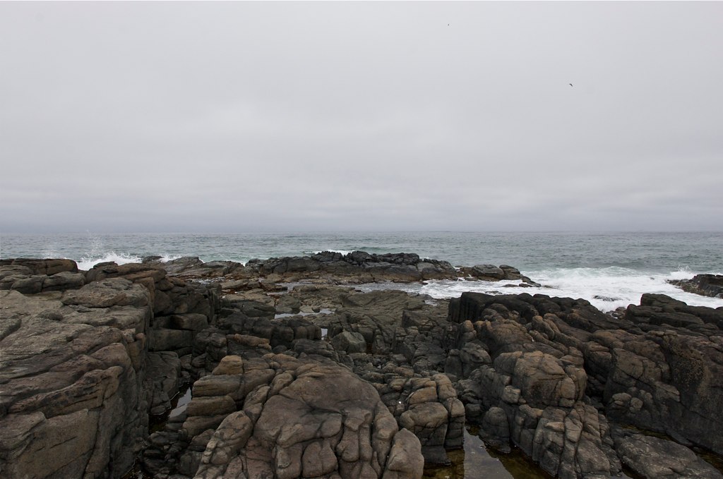
ウスタイベ千畳岩

神威岬
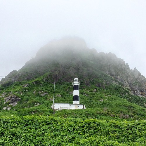
カムイって感じある

浜頓別町の神威岬灯台

荒涼たるオホーツク海

この通り、行きはトンネルの手前でUターンしたw

トンネルは嫌なので行き同様に神威岬経由で帰る
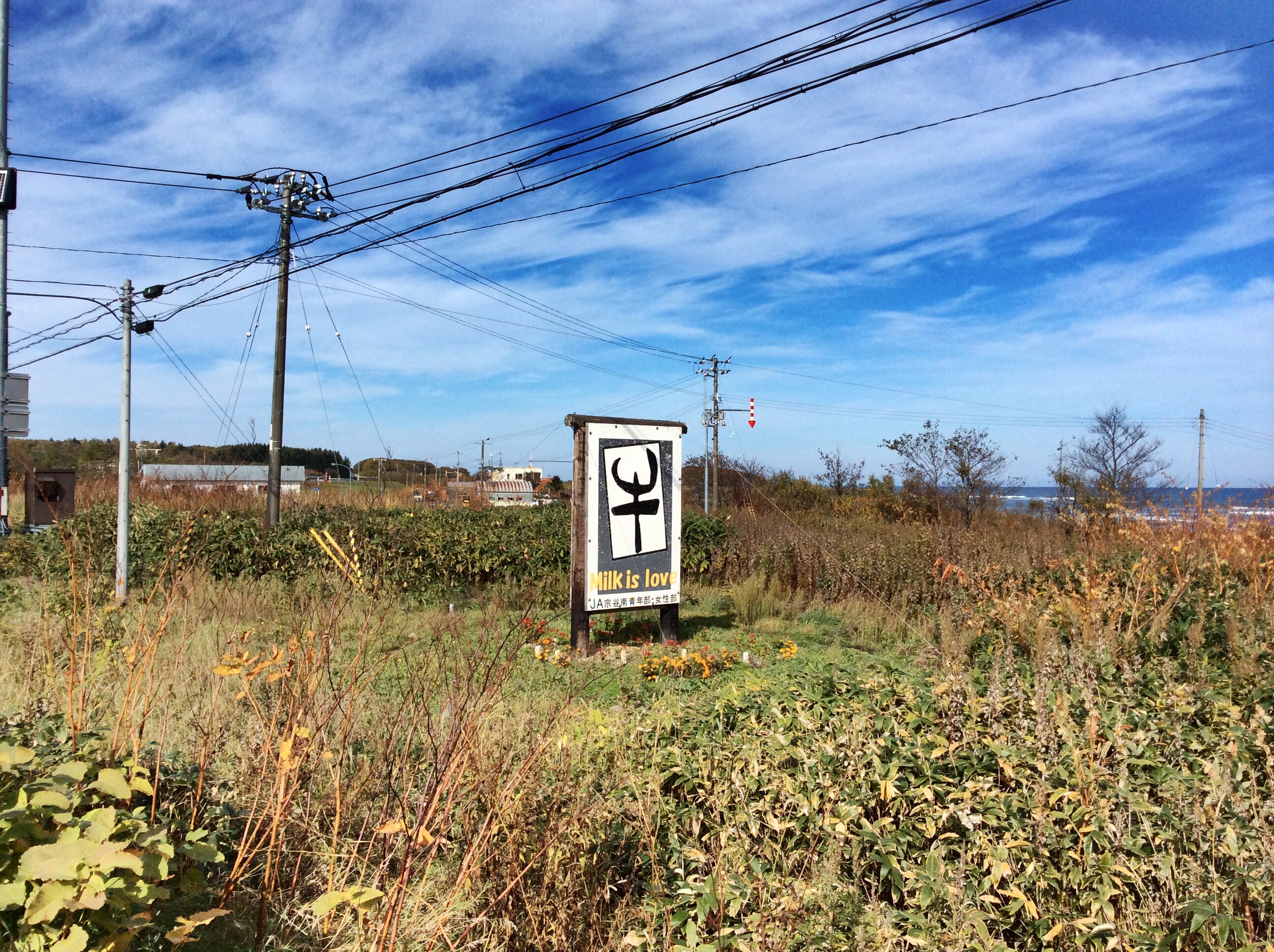
MILK IS LOVE.
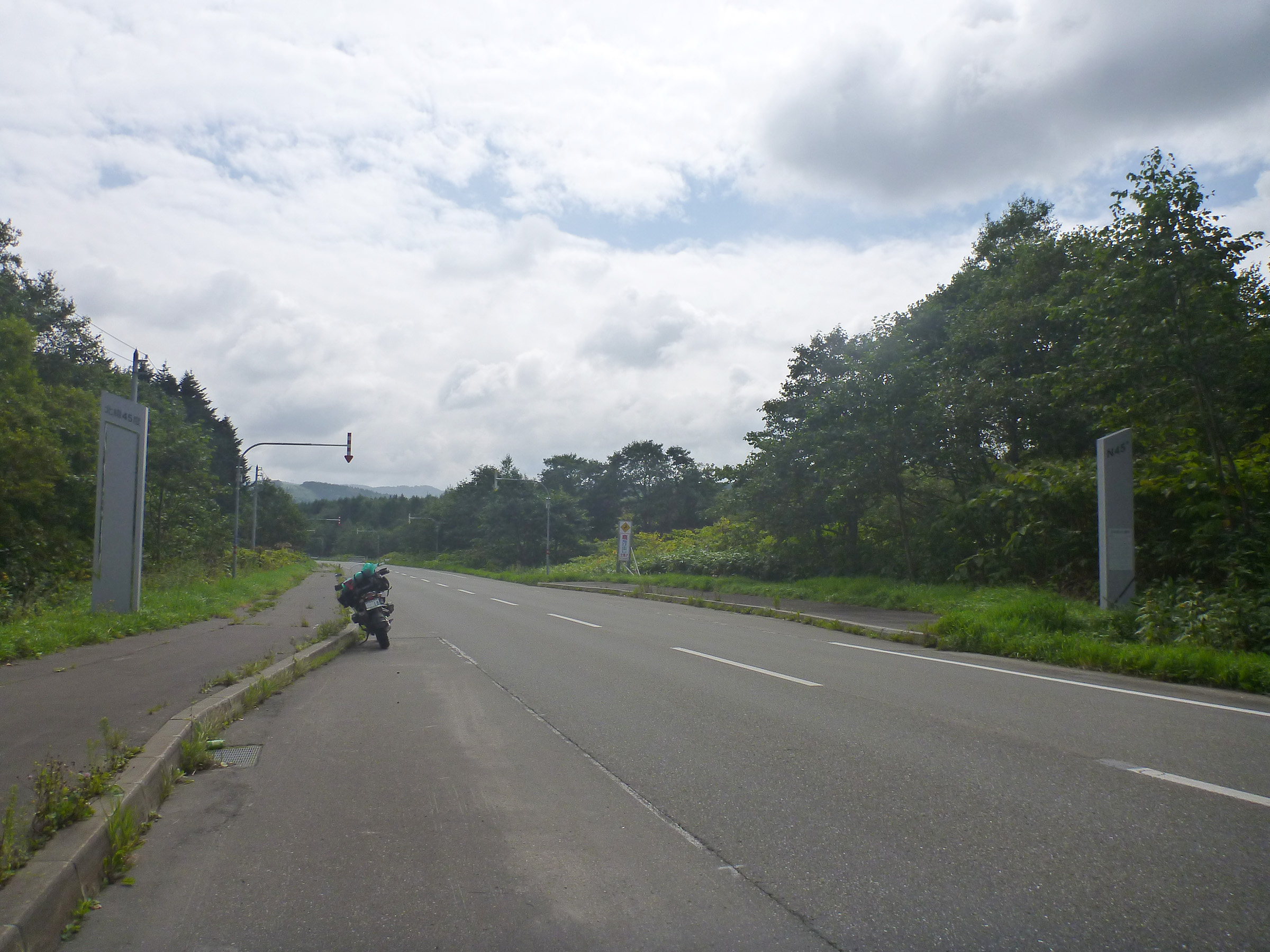
le 45 degré de latitude nord, R238
Topographic Map of Esashi, Esashi District, Hokkaido Prefecture, Japan
Find elevation by address:

Places in Esashi, Esashi District, Hokkaido Prefecture, Japan:
Uennai, Esashi-chō, Esashi-gun, Hokkaidō -, Japan
Okashima, Esashi-chō, Esashi-gun, Hokkaidō -, Japan
-3 Toimaki, Esashi-chō, Esashi-gun, Hokkaidō -, Japan
Tokushibetsu, Esashi-chō, Esashi-gun, Hokkaidō -, Japan
Places near Esashi, Esashi District, Hokkaido Prefecture, Japan:
Uennai, Esashi-chō, Esashi-gun, Hokkaidō -, Japan
-3 Toimaki, Esashi-chō, Esashi-gun, Hokkaidō -, Japan
Okashima, Esashi-chō, Esashi-gun, Hokkaidō -, Japan
Tokushibetsu, Esashi-chō, Esashi-gun, Hokkaidō -, Japan
Esashi District
-1 Nakatonbetsu, Nakatonbetsu-chō, Esashi-gun, Hokkaidō -, Japan
Nakatonbetsu
Otoineppu
Shimizu, Bifuka-chō, Nakagawa-gun, Hokkaidō -, Japan
50 Sakkuru, Otoineppu-mura, Nakagawa-gun, Hokkaidō -, Japan
Shikishima, Bifuka-chō, Nakagawa-gun, Hokkaidō -, Japan
-12 Ōmu, Ōmu-chō, Monbetsu-gun, Hokkaidō -, Japan
Bifuka
Omu
Nakagawa
41 Toyosato, Nakagawa-chō, Nakagawa-gun, Hokkaidō -, Japan
1 Chome-10 Ōdōrikita, Nayoro-shi, Hokkaidō -, Japan
Nayoro
6 Chome Higashi 1 Jominami
Nayoro Station
Recent Searches:
- Elevation of Corso Fratelli Cairoli, 35, Macerata MC, Italy
- Elevation of Tallevast Rd, Sarasota, FL, USA
- Elevation of 4th St E, Sonoma, CA, USA
- Elevation of Black Hollow Rd, Pennsdale, PA, USA
- Elevation of Oakland Ave, Williamsport, PA, USA
- Elevation of Pedrógão Grande, Portugal
- Elevation of Klee Dr, Martinsburg, WV, USA
- Elevation of Via Roma, Pieranica CR, Italy
- Elevation of Tavkvetili Mountain, Georgia
- Elevation of Hartfords Bluff Cir, Mt Pleasant, SC, USA