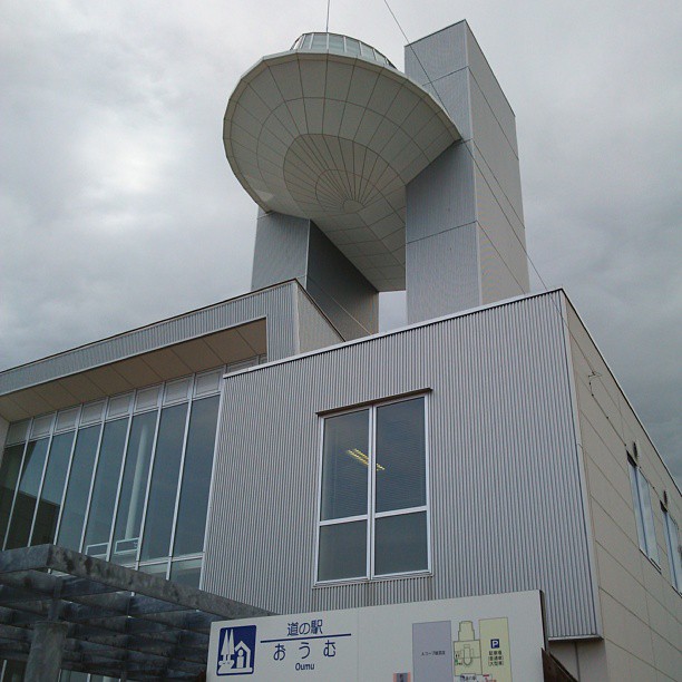
Elevation of -12 Ōmu, Ōmu-chō, Monbetsu-gun, Hokkaidō -, Japan
Location: Japan > Hokkaido Prefecture > Monbetsu District > Omu >
Longitude: 142.946658
Latitude: 44.5819447
Elevation: 33m / 108feet
Barometric Pressure: 101KPa
Elevation Map:
Satellite Map:
Related Photos:

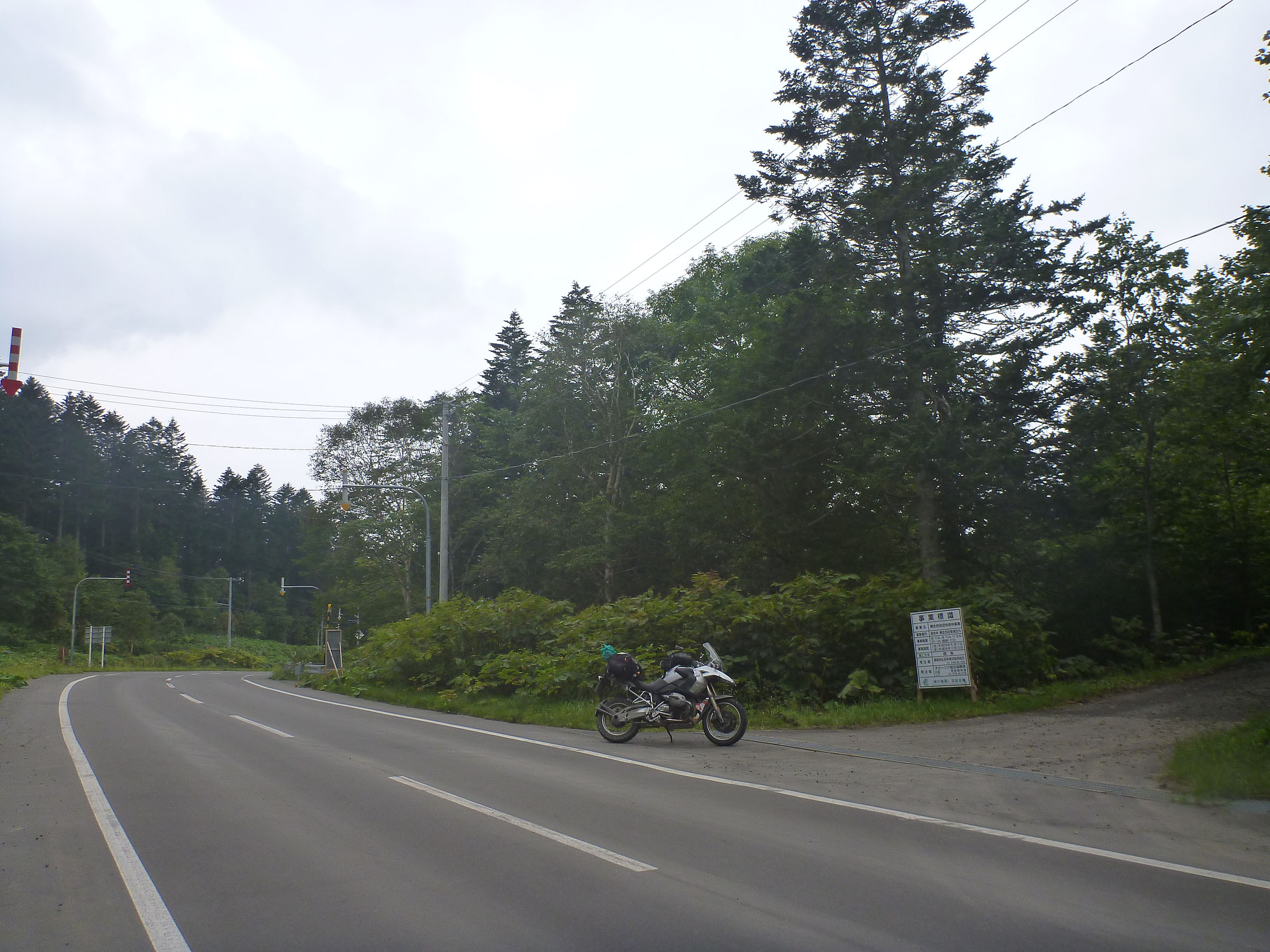
Inashubetsu Rindou

Inasyubetsu Rindou, walking research. There was a iron gate.
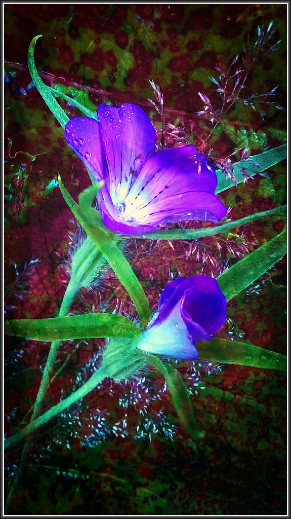
Akihito's Message - Agrostemma githago TudioJepegii

旧雄武駅跡に建つ道の駅雄武の駐車場のはずれにある、興浜南線終点を記すモニュメント。ここから北見枝幸駅まで約50kmが完成していれば網走から稚内までオホーツク海沿いを鉄道で繋がったが全て廃止となってしまった。湧網、名寄、興浜南北、天北と

この通り中に入れる。貸し切りだった。トイレとニコンの双眼鏡以外何もない

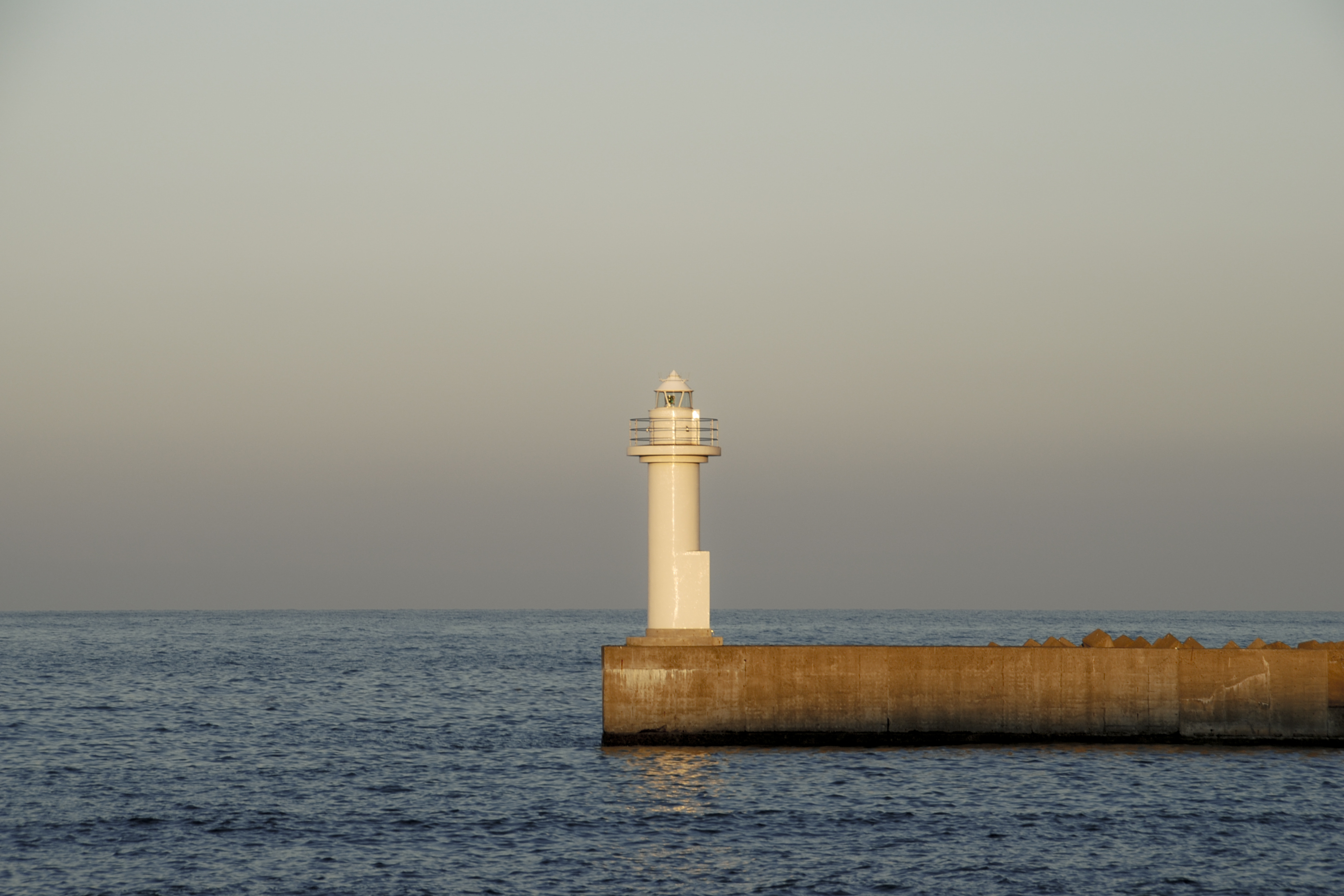
日の出岬展望台
Dou-dou No.49. "KamiHoronaiKoshi pass"
#streetphotography #北海道旅行2014 #hokkaido #okhotsk
#北海道旅行2014 #streetphotography #hokkaido #okhotsk
若き日のナウシカを思い出す(違っ
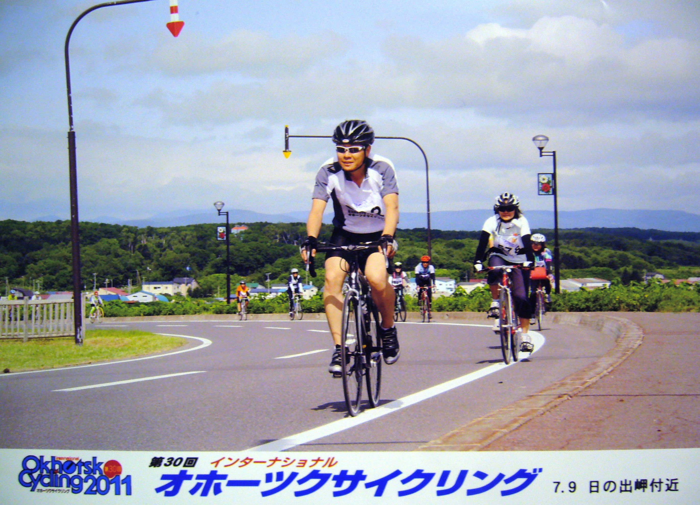
International Okhotsk Cycling 2011
DSC_0189-1-6

200707231800_日の出岬キャンプ場
Topographic Map of -12 Ōmu, Ōmu-chō, Monbetsu-gun, Hokkaidō -, Japan
Find elevation by address:

Places near -12 Ōmu, Ōmu-chō, Monbetsu-gun, Hokkaidō -, Japan:
Omu
Monbetsu District
Ninohashi, Shimokawa-chō, Kamikawa-gun, Hokkaidō -, Japan
Tokushibetsu, Esashi-chō, Esashi-gun, Hokkaidō -, Japan
Takinoue
Takinouegenya
Shimokawa
Okashima, Esashi-chō, Esashi-gun, Hokkaidō -, Japan
Monbetsu
6 Takinouegenya, Takinoue-chō, Monbetsu-gun, Hokkaidō -, Japan
Shinsei, Monbetsu-shi, Hokkaidō -, Japan
Asahichō Towari, Shibetsu-shi, Hokkaidō -, Japan
Esashi
Uennai, Esashi-chō, Esashi-gun, Hokkaidō -, Japan
1 Chome-10 Ōdōrikita, Nayoro-shi, Hokkaidō -, Japan
Nayoro
6 Chome Higashi 1 Jominami
Nayoro Station
-3 Toimaki, Esashi-chō, Esashi-gun, Hokkaidō -, Japan
Esashi District
Recent Searches:
- Elevation of Corso Fratelli Cairoli, 35, Macerata MC, Italy
- Elevation of Tallevast Rd, Sarasota, FL, USA
- Elevation of 4th St E, Sonoma, CA, USA
- Elevation of Black Hollow Rd, Pennsdale, PA, USA
- Elevation of Oakland Ave, Williamsport, PA, USA
- Elevation of Pedrógão Grande, Portugal
- Elevation of Klee Dr, Martinsburg, WV, USA
- Elevation of Via Roma, Pieranica CR, Italy
- Elevation of Tavkvetili Mountain, Georgia
- Elevation of Hartfords Bluff Cir, Mt Pleasant, SC, USA