Elevation of Erie, BC V0G, Canada
Location: Canada > British Columbia > Central Kootenay > Central Kootenay G >
Longitude: -117.334761
Latitude: 49.191999
Elevation: 717m / 2352feet
Barometric Pressure: 0KPa
Related Photos:

Cut Blocks

Flying Under the Radar

Gate Opening on Wednesday

Part of the John & Ivy Mitchell Nature Preserve
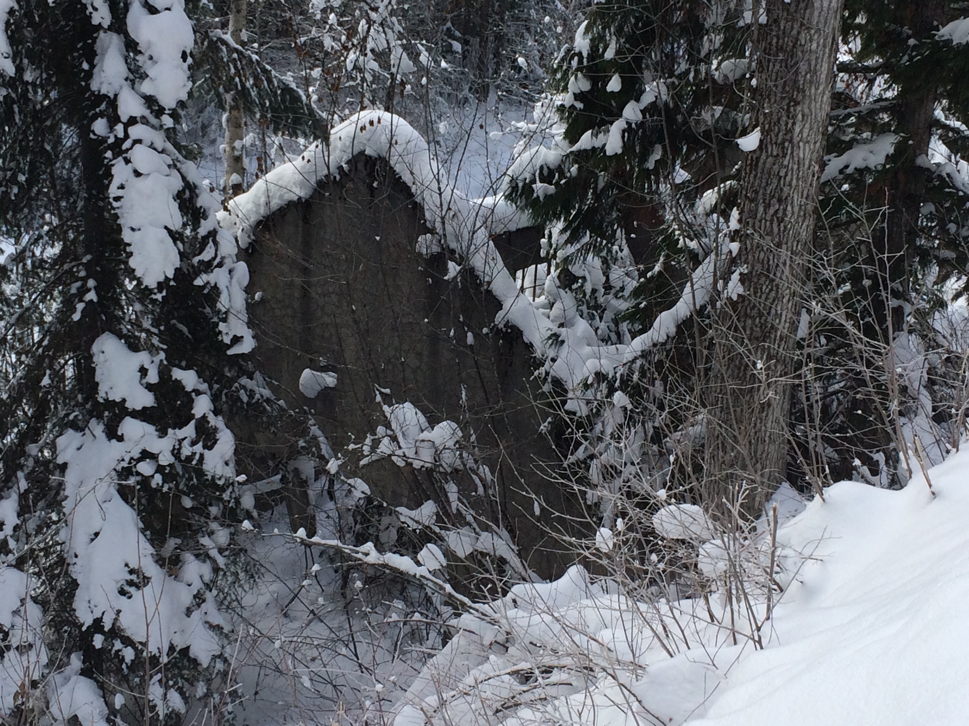
Building along side Sheep Creek
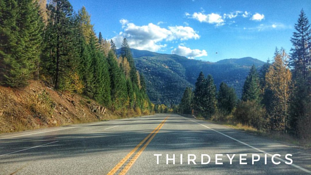
Mountain Ride Spent the day riding through the mountains. The beauty my eyes saw today, only a minuscule captured on camera. #droneacrosscanada #droneacrosscanadatour #pocket_canada #pocket_family #icu_canada #travelcanada #traveltheworld #explorecanada
Topographic Map of Erie, BC V0G, Canada
Find elevation by address:

Places near Erie, BC V0G, Canada:
Wildwood Road
909 Carney Bridge Rd
623 Davies Ave
Salmo
115 Railway Ave
710 Ponderosa St
710 Ponderosa St
710 Ponderosa St
710 Ponderosa St
710 Ponderosa St
710 Ponderosa St
8947 Nelson Nelway Hwy
8947 Nelson Nelway Hwy
Salmo River Ranch Campground
Central Kootenay G
Sheep Creek Road
Nevada Mountain
Mount Waldie
Reno Mountain
Yellowstone Peak
Recent Searches:
- Elevation of 10370, West 107th Circle, Westminster, Jefferson County, Colorado, 80021, USA
- Elevation of 611, Roman Road, Old Ford, Bow, London, England, E3 2RW, United Kingdom
- Elevation of 116, Beartown Road, Underhill, Chittenden County, Vermont, 05489, USA
- Elevation of Window Rock, Colfax County, New Mexico, 87714, USA
- Elevation of 4807, Rosecroft Street, Kempsville Gardens, Virginia Beach, Virginia, 23464, USA
- Elevation map of Matawinie, Quebec, Canada
- Elevation of Sainte-Émélie-de-l'Énergie, Matawinie, Quebec, Canada
- Elevation of Rue du Pont, Sainte-Émélie-de-l'Énergie, Matawinie, Quebec, J0K2K0, Canada
- Elevation of 8, Rue de Bécancour, Blainville, Thérèse-De Blainville, Quebec, J7B1N2, Canada
- Elevation of Wilmot Court North, 163, University Avenue West, Northdale, Waterloo, Region of Waterloo, Ontario, N2L6B6, Canada
- Elevation map of Panamá Province, Panama
- Elevation of Balboa, Panamá Province, Panama
- Elevation of San Miguel, Balboa, Panamá Province, Panama
- Elevation of Isla Gibraleón, San Miguel, Balboa, Panamá Province, Panama
- Elevation of 4655, Krischke Road, Schulenburg, Fayette County, Texas, 78956, USA
- Elevation of Carnegie Avenue, Downtown Cleveland, Cleveland, Cuyahoga County, Ohio, 44115, USA
- Elevation of Walhonding, Coshocton County, Ohio, USA
- Elevation of Clifton Down, Clifton, Bristol, City of Bristol, England, BS8 3HU, United Kingdom
- Elevation map of Auvergne-Rhône-Alpes, France
- Elevation map of Upper Savoy, Auvergne-Rhône-Alpes, France