Elevation of Equestrian Dr, Elk Grove, CA, USA
Location: United States > California > Sacramento County > Elk Grove > Hop Ranch >
Longitude: -121.30765
Latitude: 38.4163555
Elevation: 21m / 69feet
Barometric Pressure: 101KPa
Elevation Map:
Satellite Map:
Related Photos:
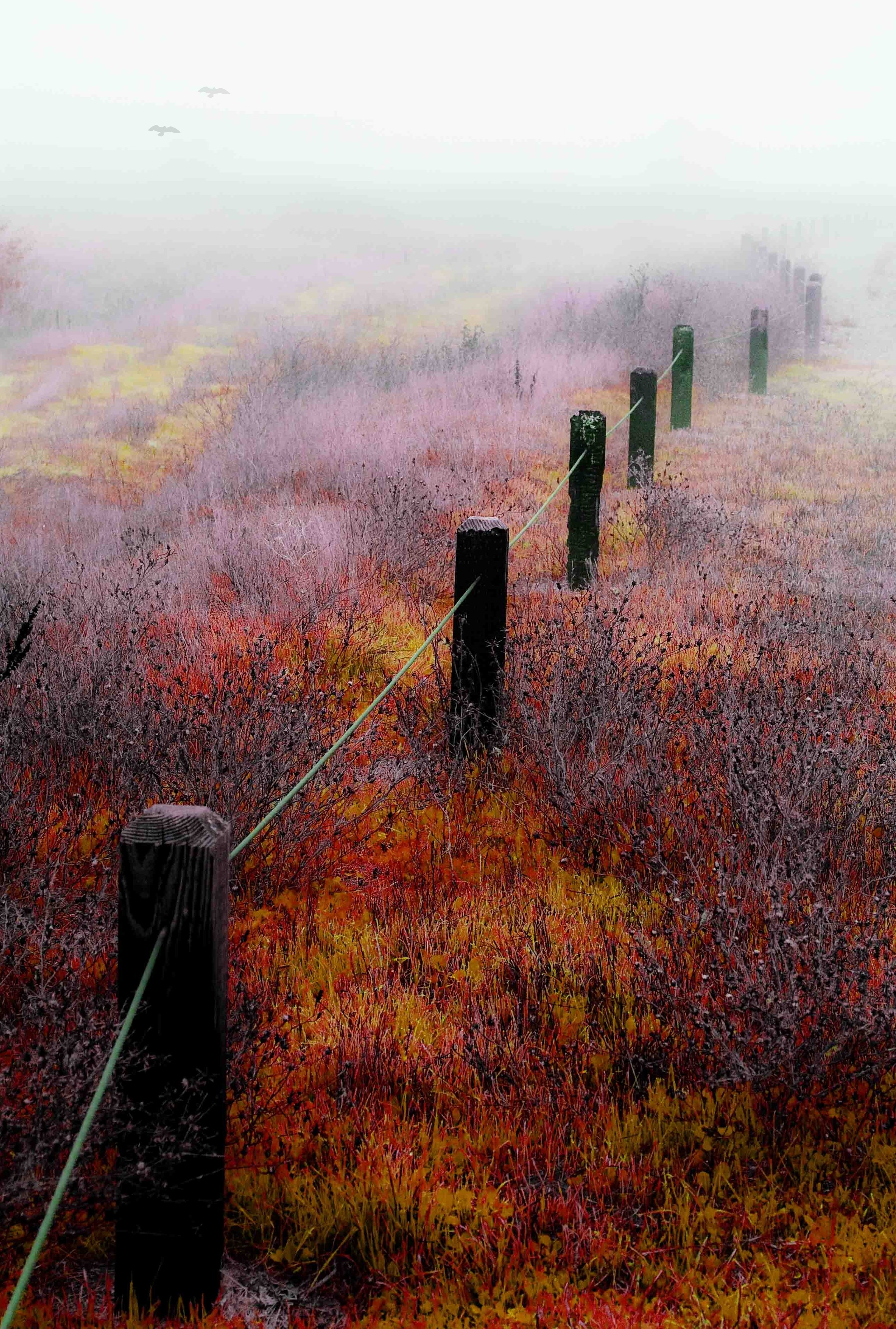
Fall Into You

On Wings of a Dream

EGPD Rear View
County Roads (Explore)
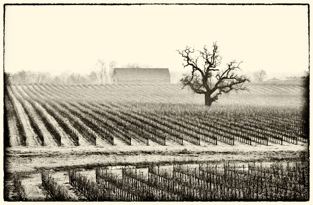
Winter at the Vineyard

Day 14: Flipping cards

Sunset on Campus Pano

USAF Thunderbird #6 Opposing Solo Maj Rick Goodman

Lake Front View - HDR
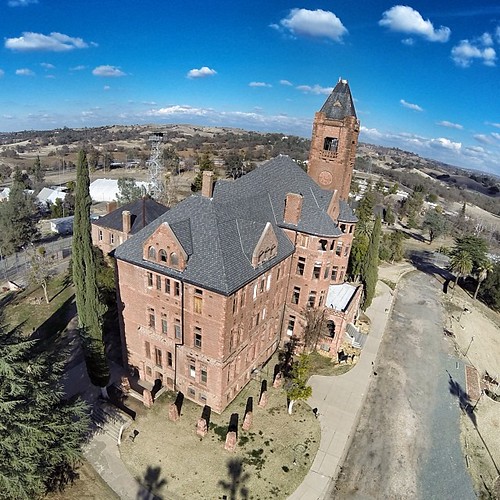
Another view of the Preston Castle. Such a great place!
Old man ...DSC_4181-01
Hark! The Herald
Elk Grove Police Explorer KIA 3-4 View
Sunset at Mather Airport-Aug 13 2007 (2)a

Breakfast! ...DSC_4660-01

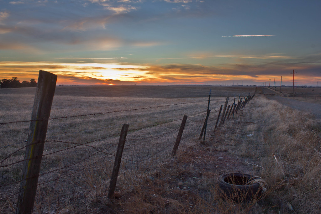
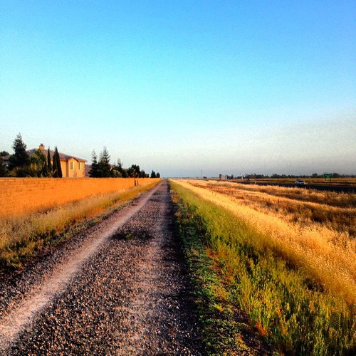
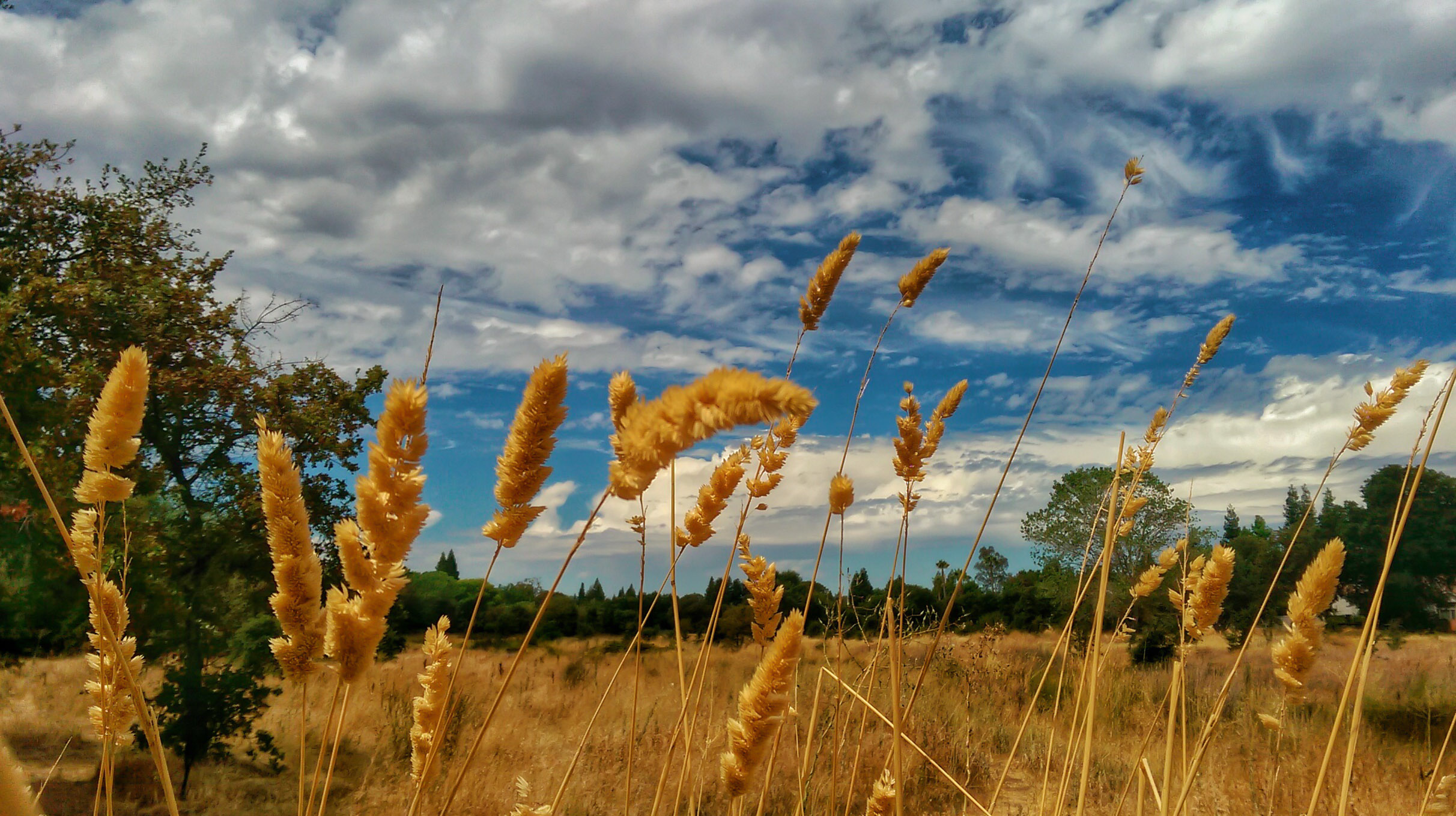
Fields of Gold

Sunrise in the Valley

F4U Corsair @ Sacramento

AIRPLANE SKY
Empty bench at Mather Lake

Night training!
Big Pine

Red Twilight at Lake
March Showers...

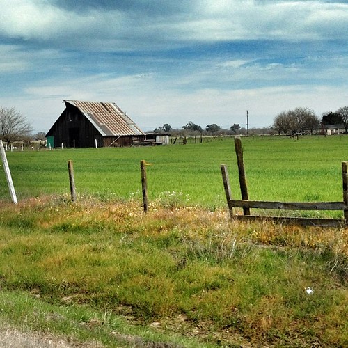
sloughhouse ploughed field

#cerrotorre #patagonia #argentina #earlymorninghike #tactilephoto #gregmitchellphotography
As Nature Intended
#Running 6 miles on Thu in #sacramento on a side #trail behind workplace: # #sunset #dusk #iphonephotography #iphoneography
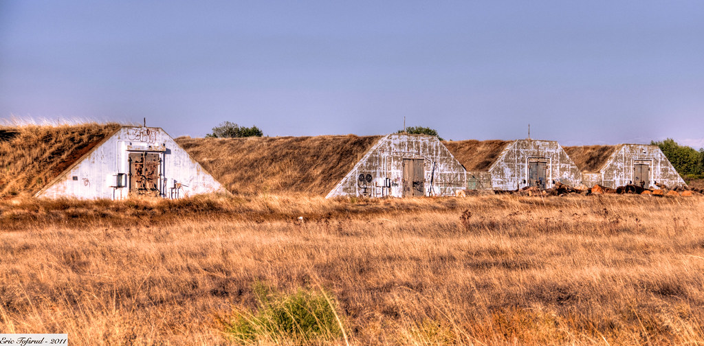
Cold War Munitions Bunker

Where am I going...

Yolo County sunset

Excited my #cathedralrock image, printed on metal, is heading to a new client in #southdakota #gregmitchellphotography #tactilephoto #sedona #arizona #visitsedona #visitarizona #southwest
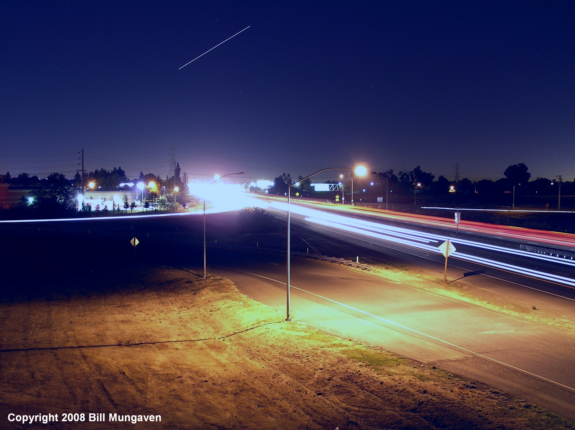
Time exposure
Almost there!!! #norcalmove
Summer Field

Winter Rose Garden

Stormy Sunset

Rory and friends getting their work in. U9 girls comp soccer #iracademy#interragesoccer#interrage#soccertryouts
Sun evening recovery shake out

Good Night Sun
Topographic Map of Equestrian Dr, Elk Grove, CA, USA
Find elevation by address:

Places near Equestrian Dr, Elk Grove, CA, USA:
10214 Equestrian Dr
10214 Wrangler Dr
Hop Ranch
Wilton Rd, Elk Grove, CA, USA
9908 Jetmar Way
9765 Bond Rd
10296 Caballo Ct
Lupine Fields Ct, Sacramento, CA, USA
9259 Rushing Creek Way
Silver Legends
9997 Silver Meadow Way
Silver Meadows
9654 Little Harbor Way
Coopers Hawk Way
9216 Balboa Park Way
Vineyard
Elk Grove Blvd, Elk Grove, CA, USA
Elk Grove
Colton Avenue
8851 Minnie Cir
Recent Searches:
- Elevation of Corso Fratelli Cairoli, 35, Macerata MC, Italy
- Elevation of Tallevast Rd, Sarasota, FL, USA
- Elevation of 4th St E, Sonoma, CA, USA
- Elevation of Black Hollow Rd, Pennsdale, PA, USA
- Elevation of Oakland Ave, Williamsport, PA, USA
- Elevation of Pedrógão Grande, Portugal
- Elevation of Klee Dr, Martinsburg, WV, USA
- Elevation of Via Roma, Pieranica CR, Italy
- Elevation of Tavkvetili Mountain, Georgia
- Elevation of Hartfords Bluff Cir, Mt Pleasant, SC, USA