Elevation of Emmett, KS, USA
Location: United States > Kansas > Pottawatomie County > Emmett >
Longitude: -96.056104
Latitude: 39.3072183
Elevation: 313m / 1027feet
Barometric Pressure: 98KPa
Elevation Map:
Satellite Map:
Related Photos:

A view of Delia, Kansas

A field outside of Delia, Kansas
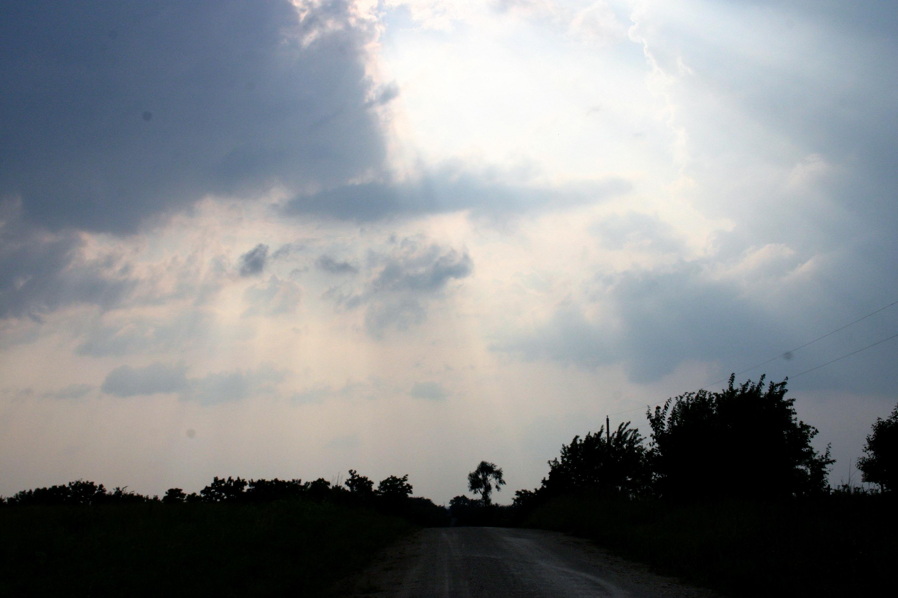
Delia sky

Bawden in front of a field
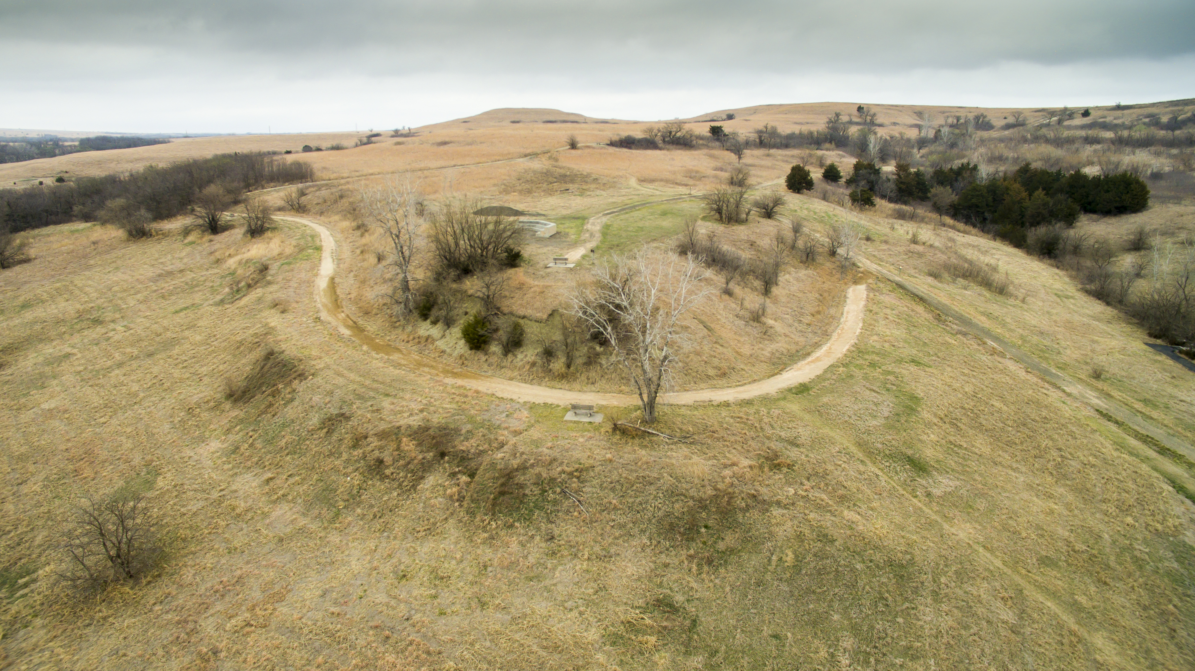
Oregon Trail Nature Park.

Make Haste
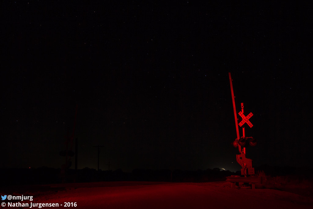
Silent Guard

KS-22. St. Mary's Mission
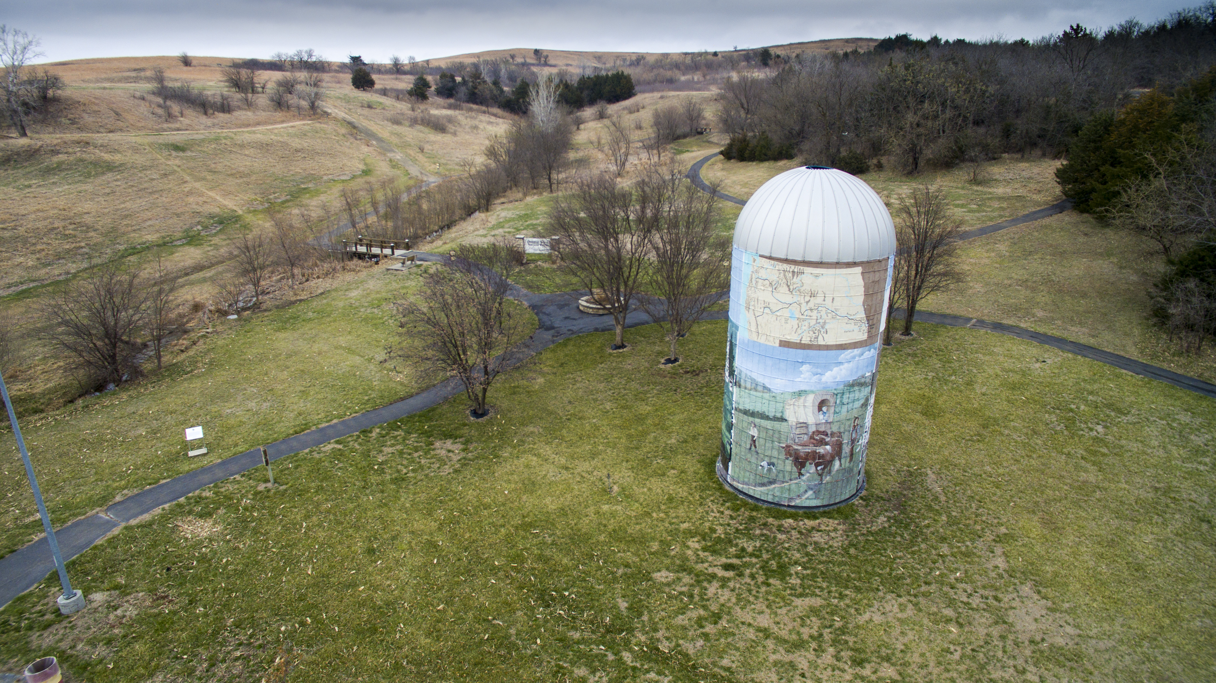
Oregon Trail Nature Park.
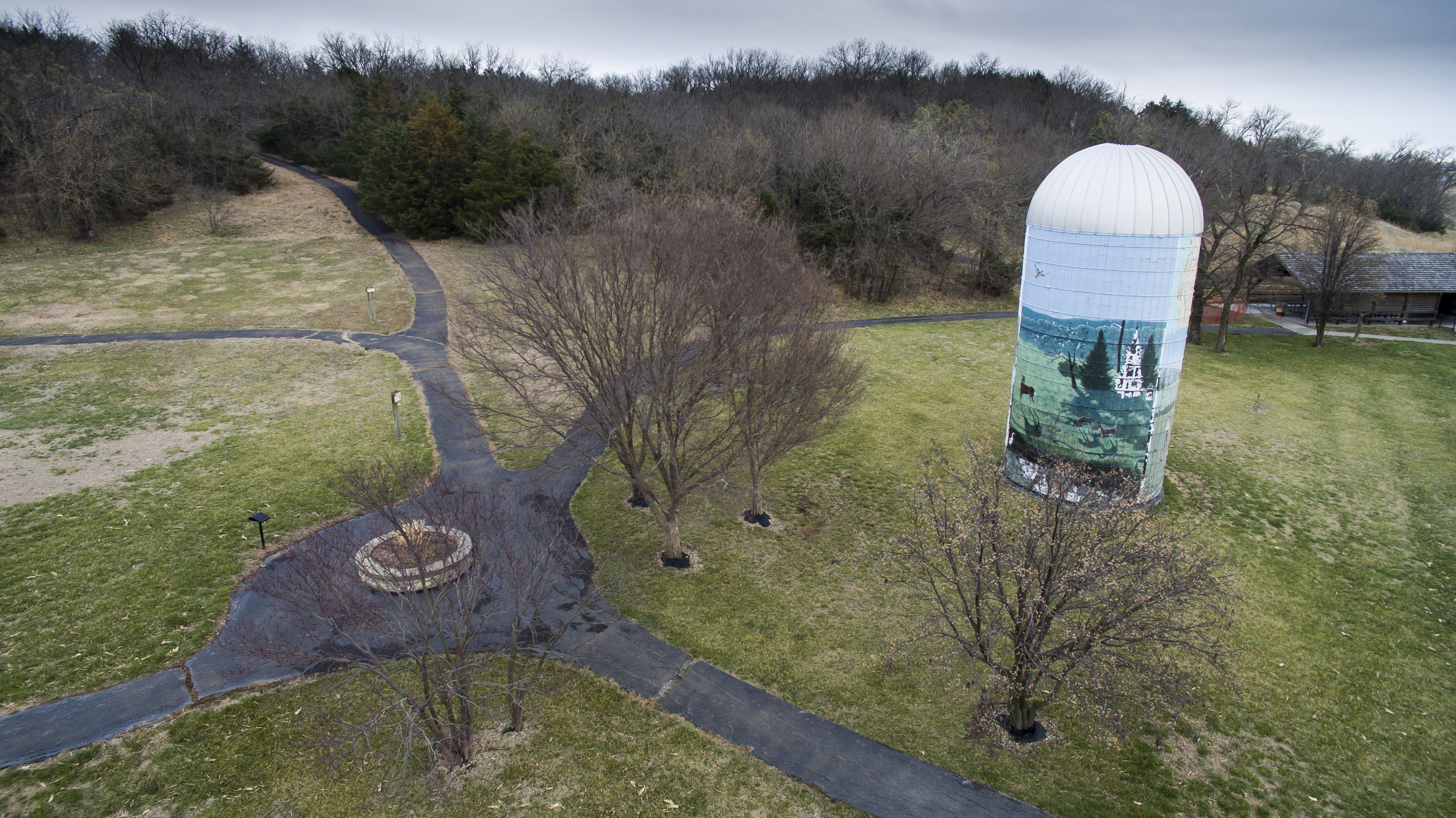
Oregon Trail Nature Park.

World War I Memorial Arch
Topographic Map of Emmett, KS, USA
Find elevation by address:

Places in Emmett, KS, USA:
Places near Emmett, KS, USA:
Main St, Emmett, KS, USA
Emmett
Washington
Westar - Jeffrey Energy Center
St. Clere
Aiken Switch Rd, Emmett, KS, USA
St. Marys
Belvue
23705 Oregon Trail Rd
Broadway St, Belvue, KS, USA
Belvue
Center
Onaga Rd, Wamego, KS, USA
Wamego
17455 Pauling Run Rd
11965 Wheaton Rd
Louisville
Louisville
113 Hickory St
Mt Calvary Lutheran Church
Recent Searches:
- Elevation of Corso Fratelli Cairoli, 35, Macerata MC, Italy
- Elevation of Tallevast Rd, Sarasota, FL, USA
- Elevation of 4th St E, Sonoma, CA, USA
- Elevation of Black Hollow Rd, Pennsdale, PA, USA
- Elevation of Oakland Ave, Williamsport, PA, USA
- Elevation of Pedrógão Grande, Portugal
- Elevation of Klee Dr, Martinsburg, WV, USA
- Elevation of Via Roma, Pieranica CR, Italy
- Elevation of Tavkvetili Mountain, Georgia
- Elevation of Hartfords Bluff Cir, Mt Pleasant, SC, USA