Elevation of Embden, ME, USA
Location: United States > Maine > Somerset County >
Longitude: -69.866724
Latitude: 44.9181137
Elevation: 113m / 371feet
Barometric Pressure: 100KPa
Elevation Map:
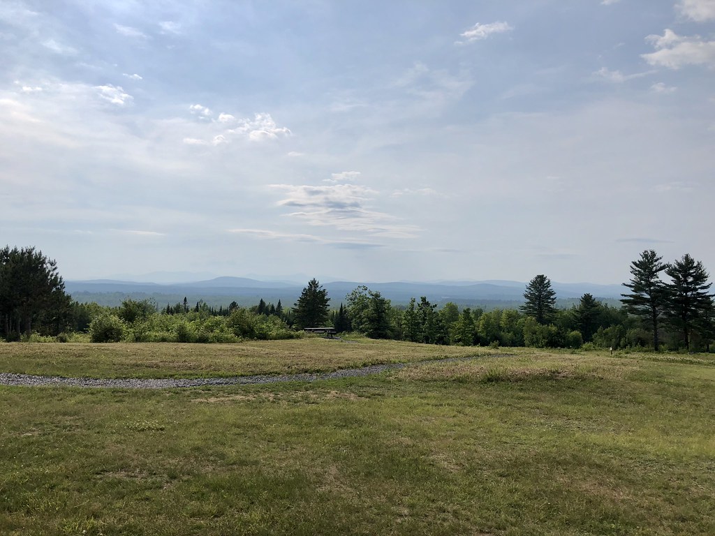
Satellite Map:
Related Photos:
View from Bridge in North Anson, Maine
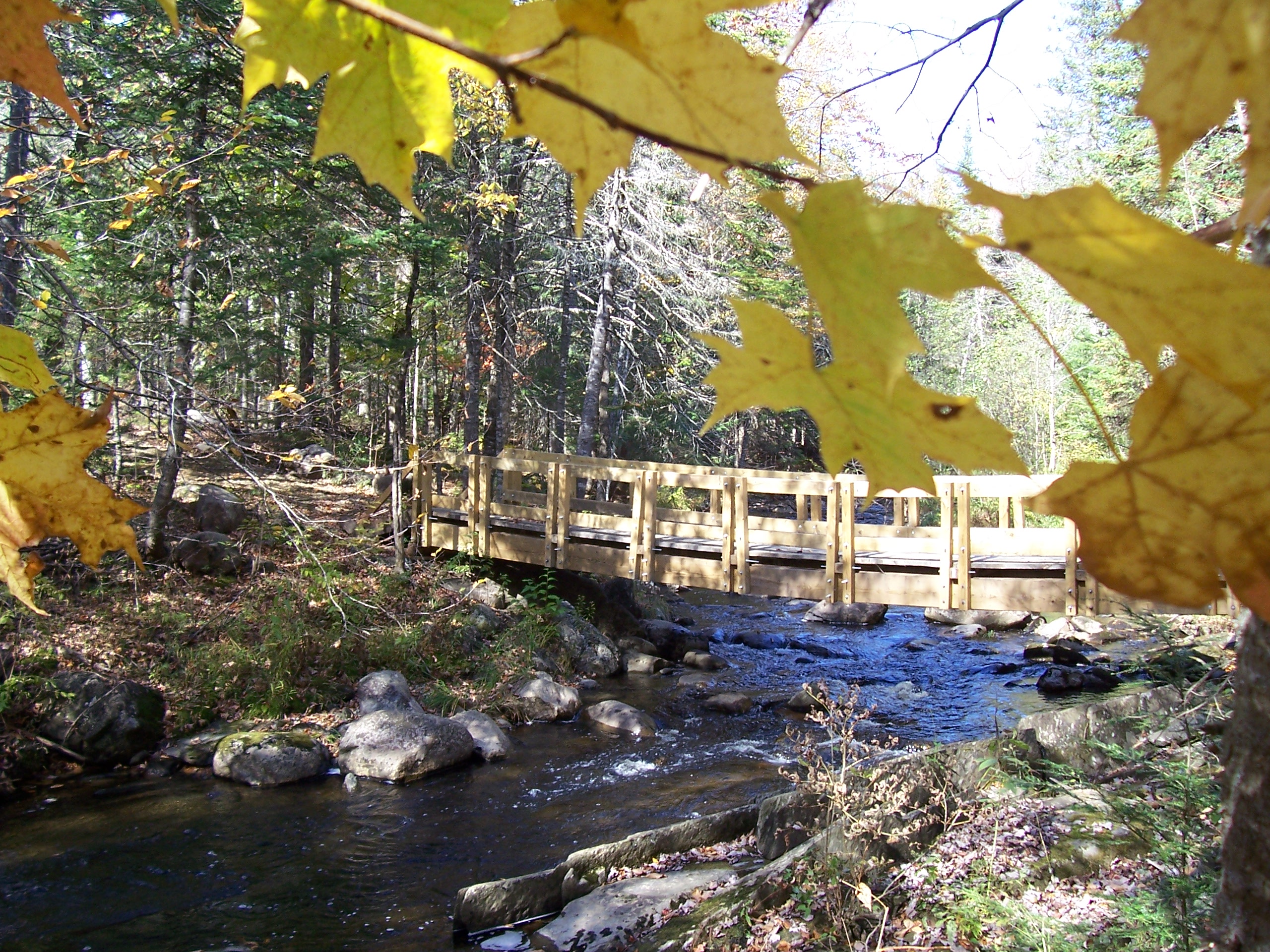
Bridge viewed through Fall Foliage

A Church in Bingham
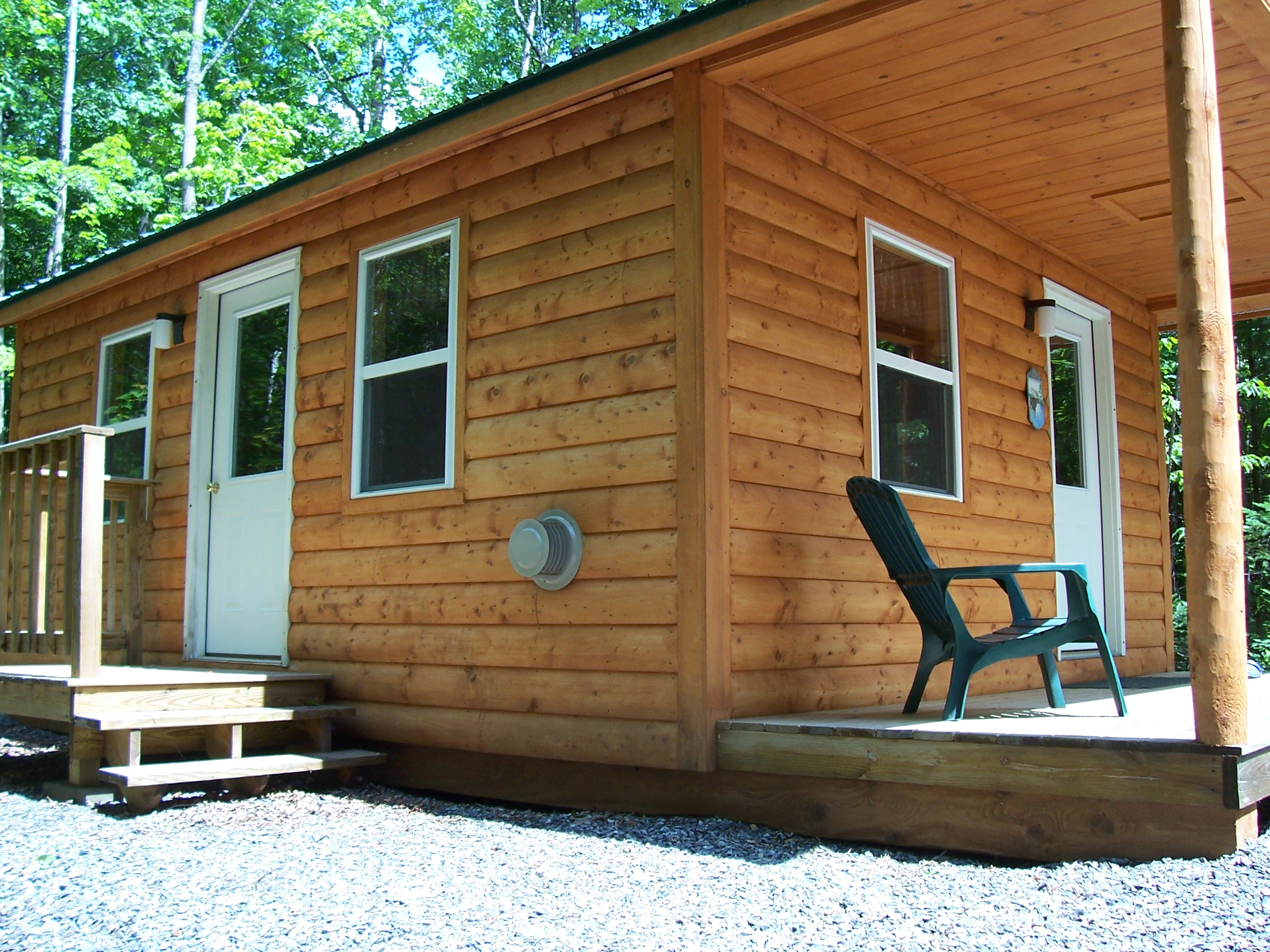
Left Side View Cabin #1

Another View of Kitchen Cabin #3

Sun sets behind the mountains and we have a long way to drive tonight

Hay Madison-pinhole
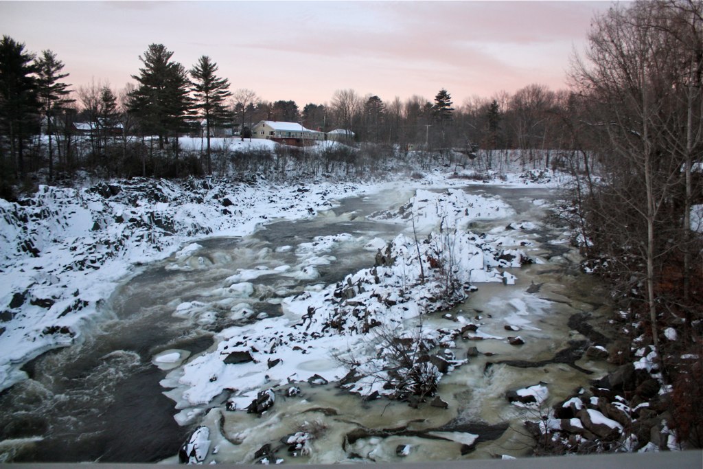
Kennebec Morning - Winter

Water Nymphs 0030

Water Nymphs 0047

Water Nymphs 0043

White Road

Water Nymphs 0045

Water Nymphs 0032

Dead Rabbits 1
Water Nymphs 0023

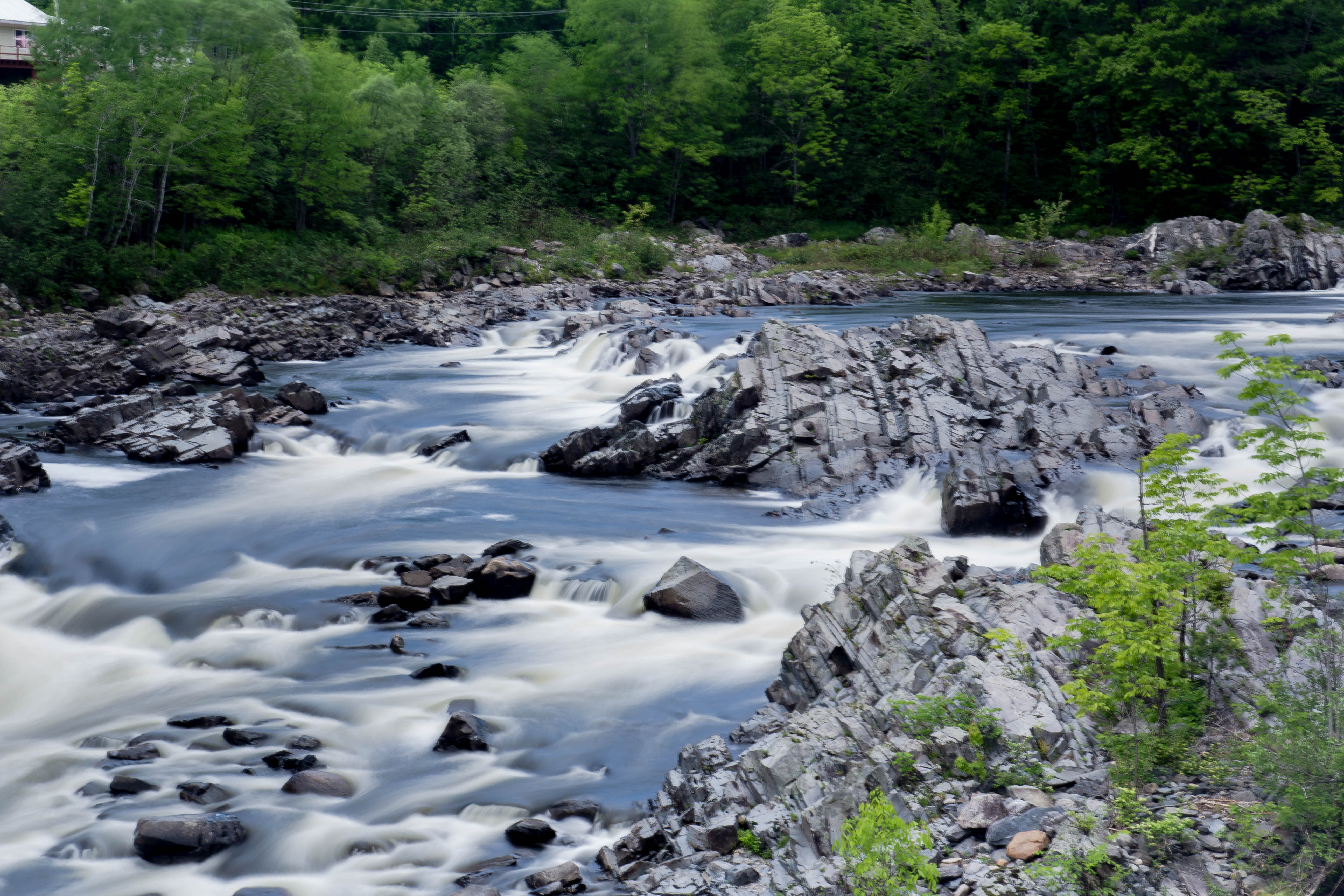
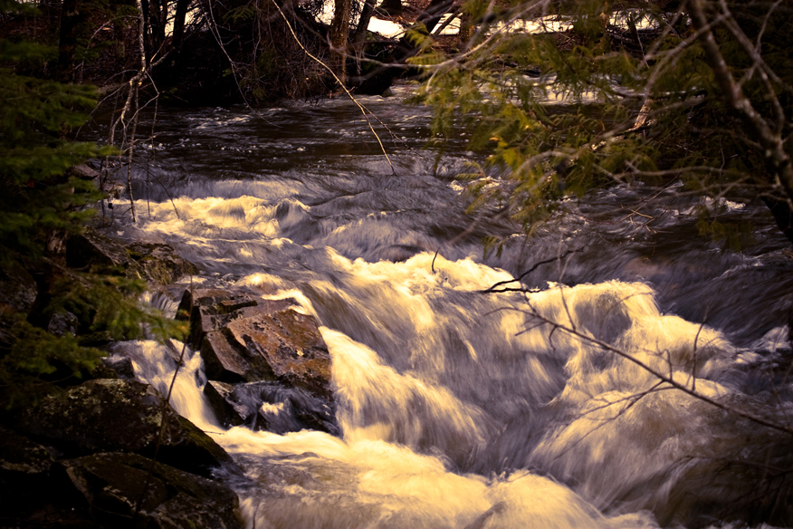
Corson Stream 6
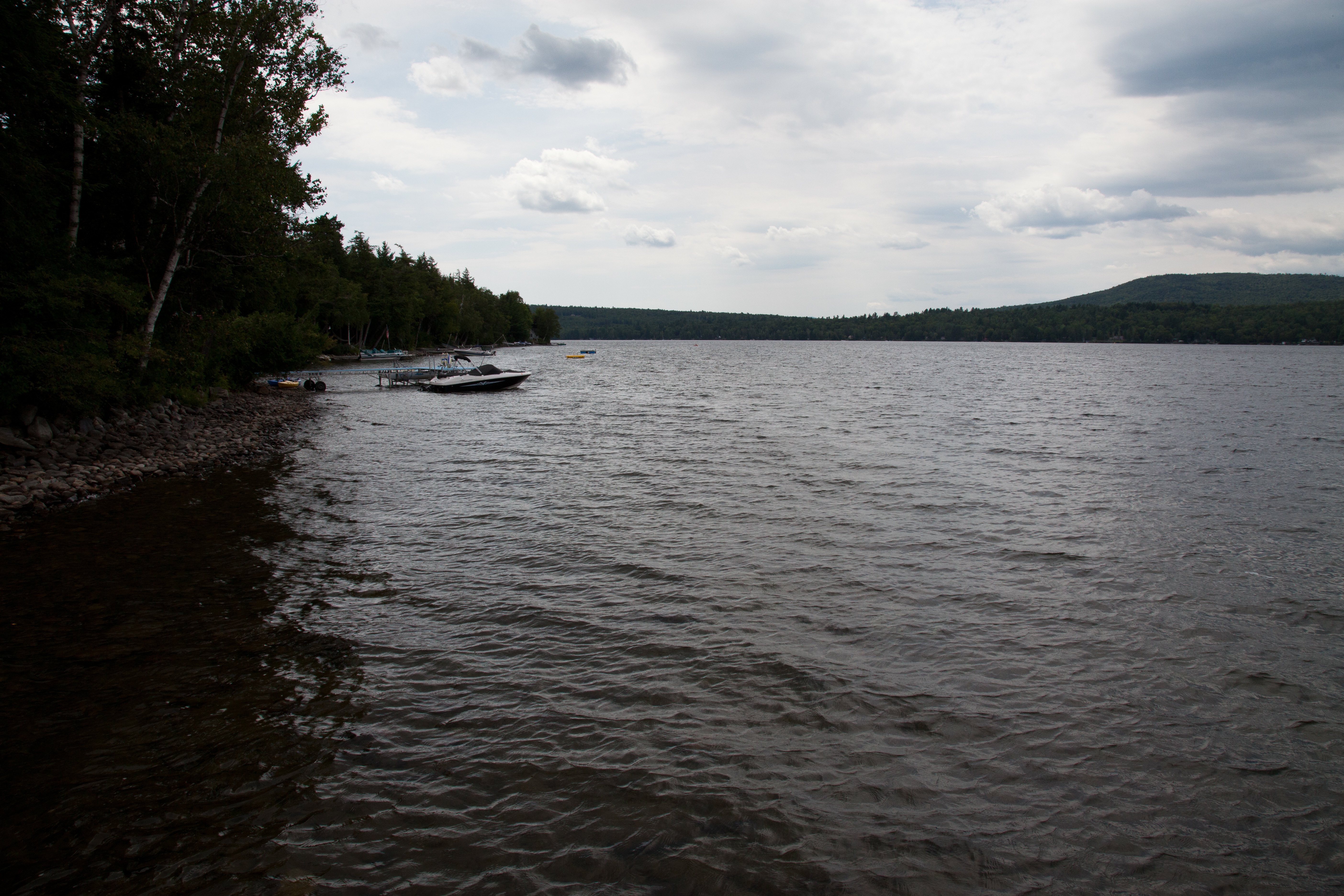
Emden Lake
Day 7, Halifax, NS - Kingfield, ME 071

2012-07-31 14.11.24
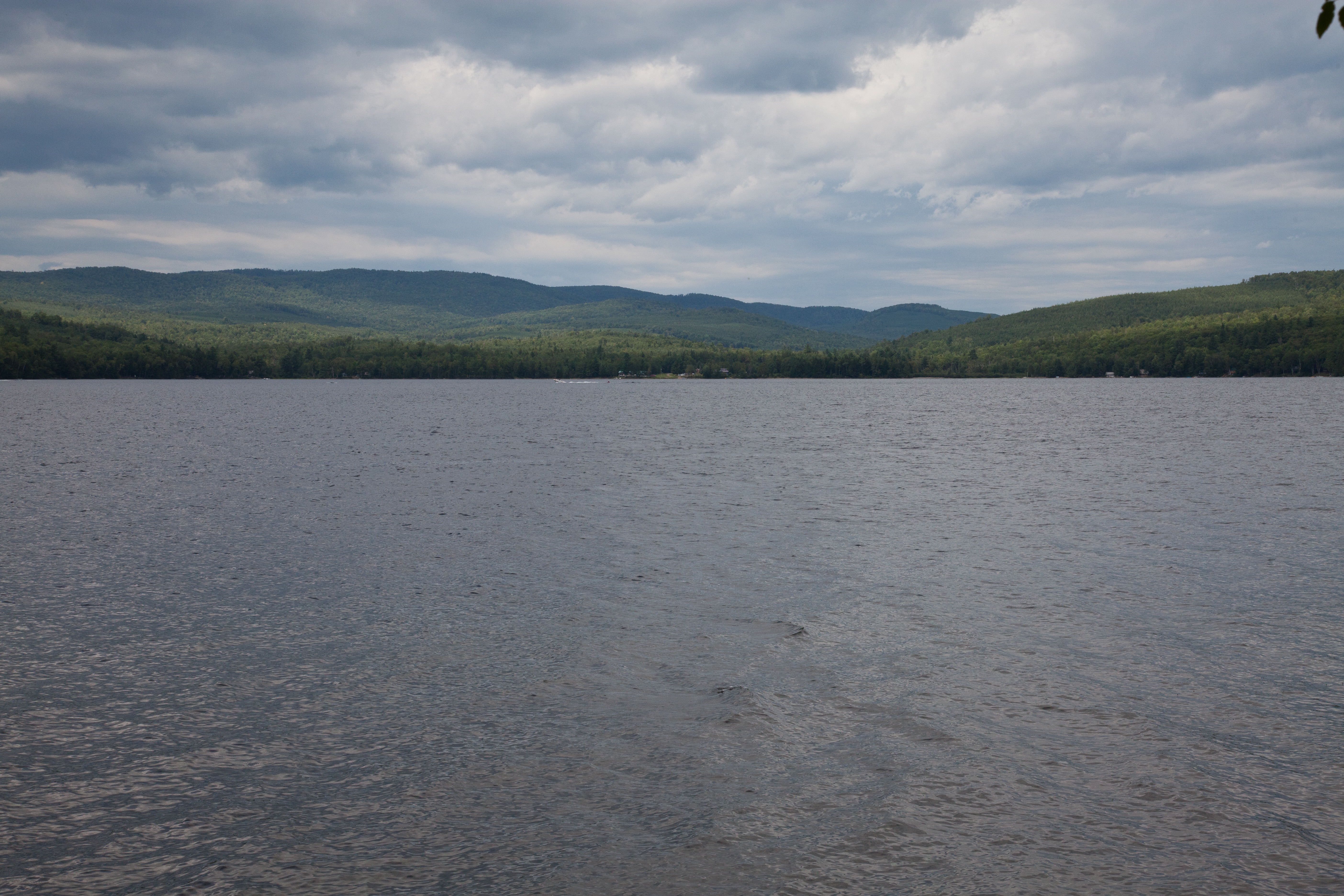
Emden Lake
Summer 2018

Robbins Hill Scenic Area - Maine - USA

Water Nymphs 0046
Topographic Map of Embden, ME, USA
Find elevation by address:

Places in Embden, ME, USA:
Places near Embden, ME, USA:
Solon Road
West Road
Solon
21 Falls Rd, Solon, ME, USA
130 French Hill Rd
130 French Hill Rd
130 French Hill Rd
275 S Solon Rd
275 S Solon Rd
280 S Solon Rd
280 S Solon Rd
280 S Solon Rd
280 S Solon Rd
280 S Solon Rd
285 S Solon Rd
287 S Solon Rd
287 S Solon Rd
290 S Solon Rd
295 S Solon Rd
300 S Solon Rd
Recent Searches:
- Elevation of Corso Fratelli Cairoli, 35, Macerata MC, Italy
- Elevation of Tallevast Rd, Sarasota, FL, USA
- Elevation of 4th St E, Sonoma, CA, USA
- Elevation of Black Hollow Rd, Pennsdale, PA, USA
- Elevation of Oakland Ave, Williamsport, PA, USA
- Elevation of Pedrógão Grande, Portugal
- Elevation of Klee Dr, Martinsburg, WV, USA
- Elevation of Via Roma, Pieranica CR, Italy
- Elevation of Tavkvetili Mountain, Georgia
- Elevation of Hartfords Bluff Cir, Mt Pleasant, SC, USA