Elevation of Eloy, AZ, USA
Location: United States > Arizona > Pinal County >
Longitude: -111.554844
Latitude: 32.7558962
Elevation: 474m / 1555feet
Barometric Pressure: 0KPa
Related Photos:
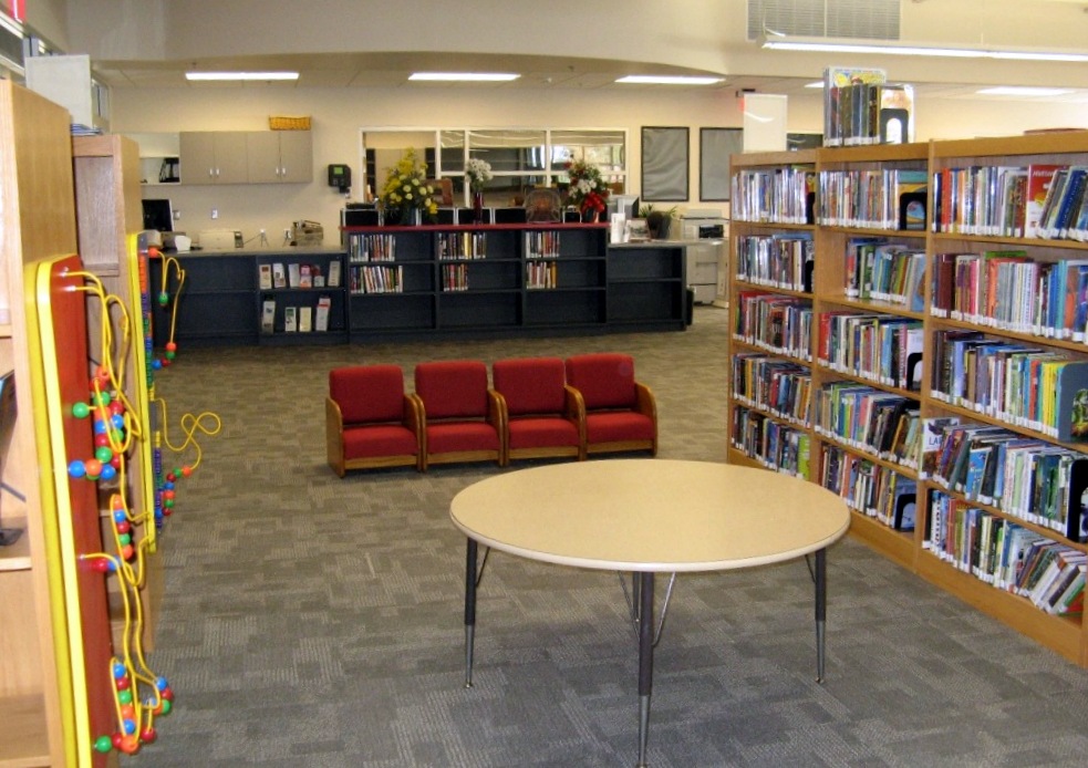
Eloy Santa Cruz Library
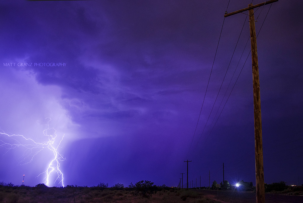
Thunder Road

Abandoned 1940's Rural Market, La Palma, View to North, Coolidge, AZ

Picacho Motel I
drvfrmOK 330

Picacho Motel II
truck is on the way to exit
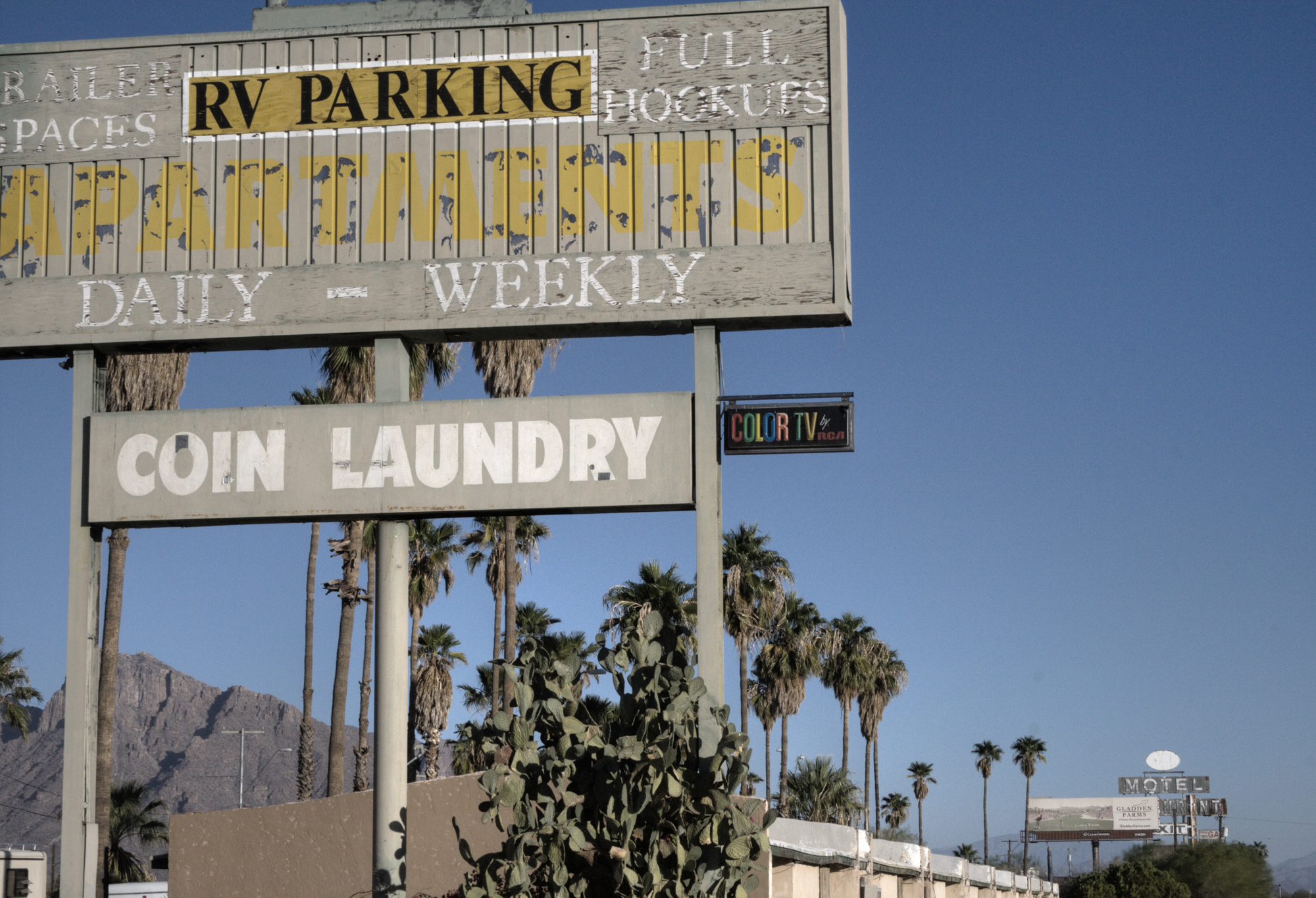
Picacho Lodging
drvfrmOK 335
drvfrmOK 334
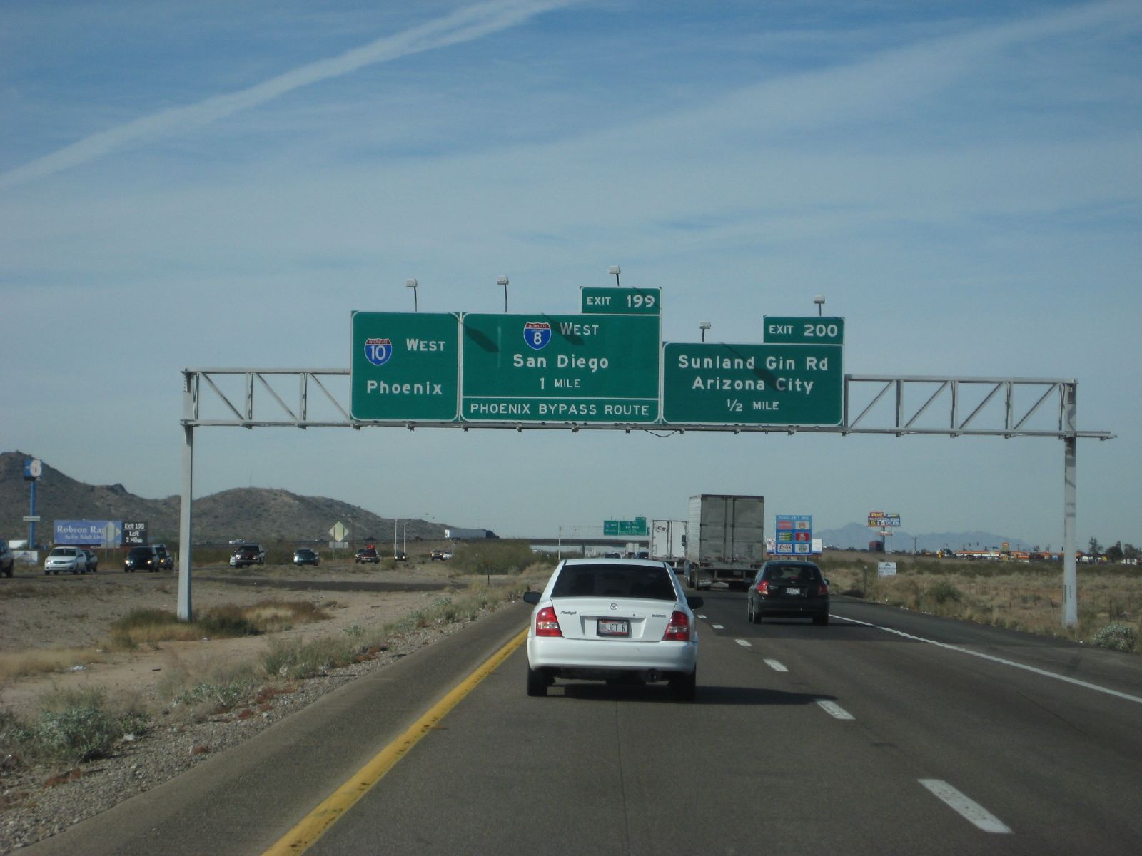
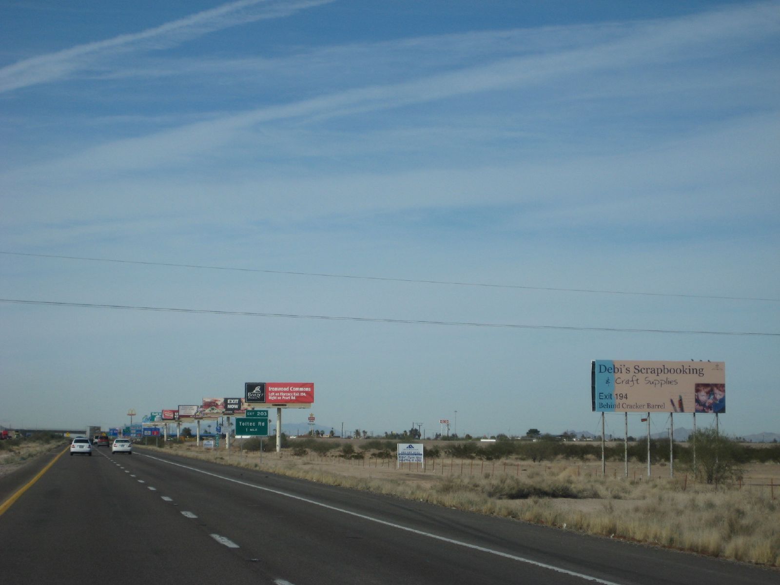
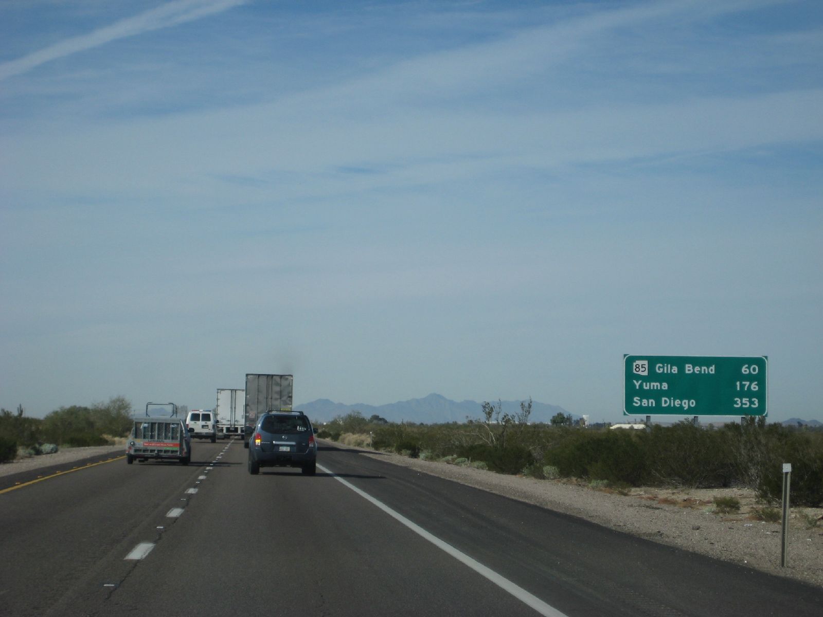
8 west coming up
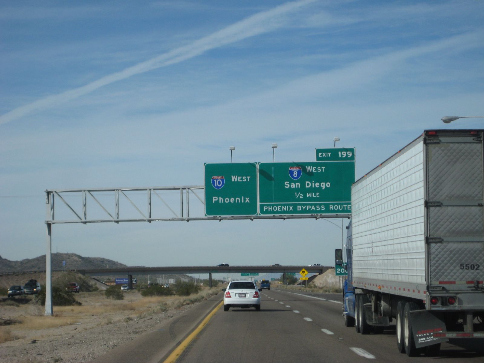
exiting 8 west soon

Decaying, Abandoned 1940's Rural Market, Full View to East, Coolidge, AZ
2016.03.19 - Corona Targets

DSC_8180.jpg

DSC_8178.jpg

DSC_8181.jpg

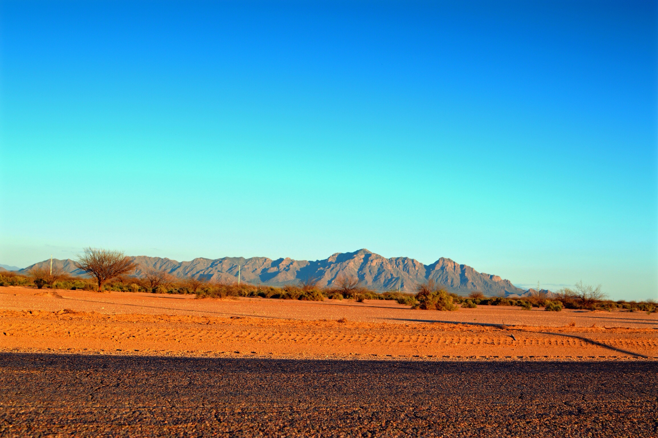
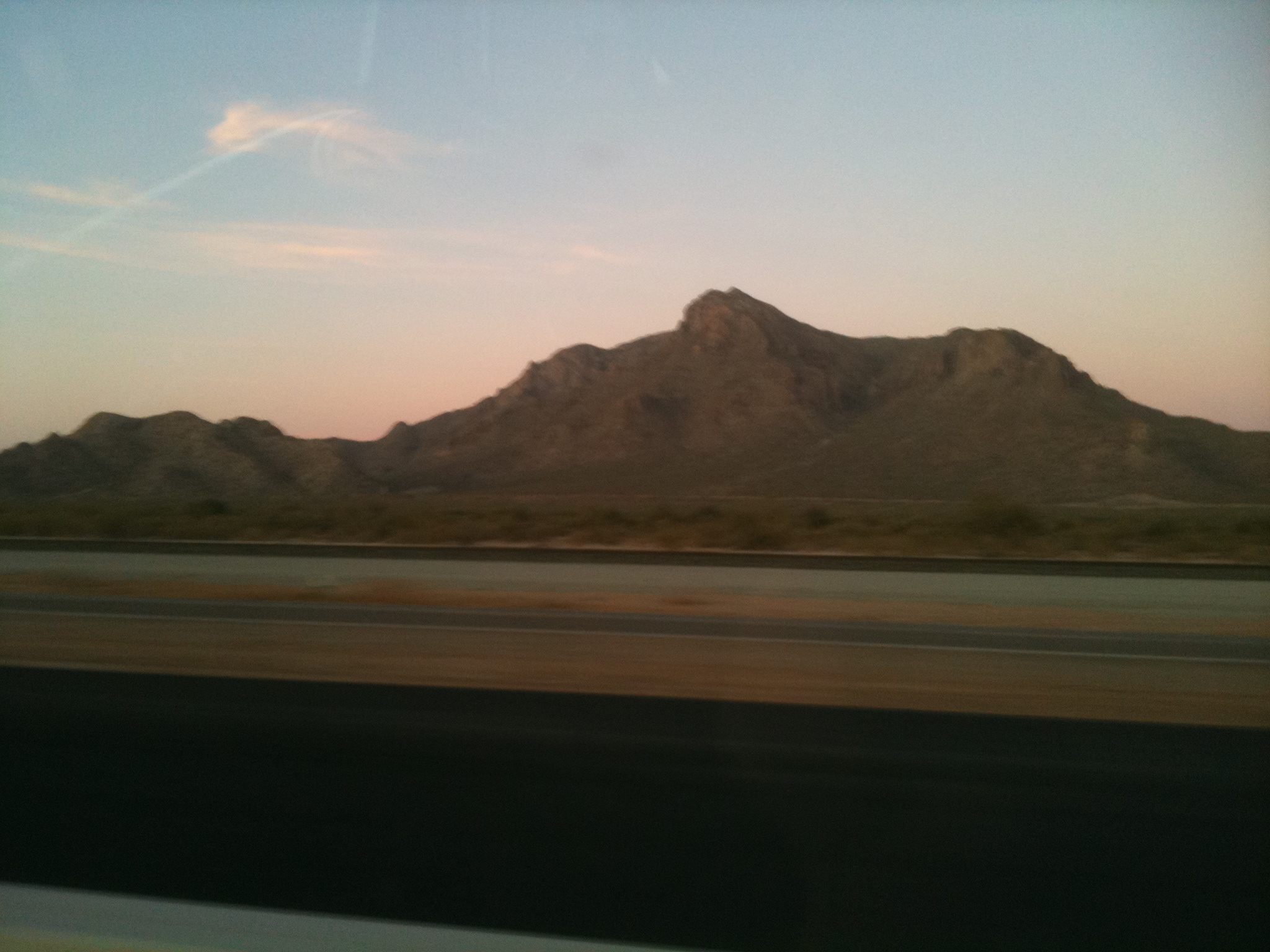
Cotton fields between Tucson and Phoenix on Hwy 10
We climbed to the top. #joshuatree #cali

DSC_8179.jpg
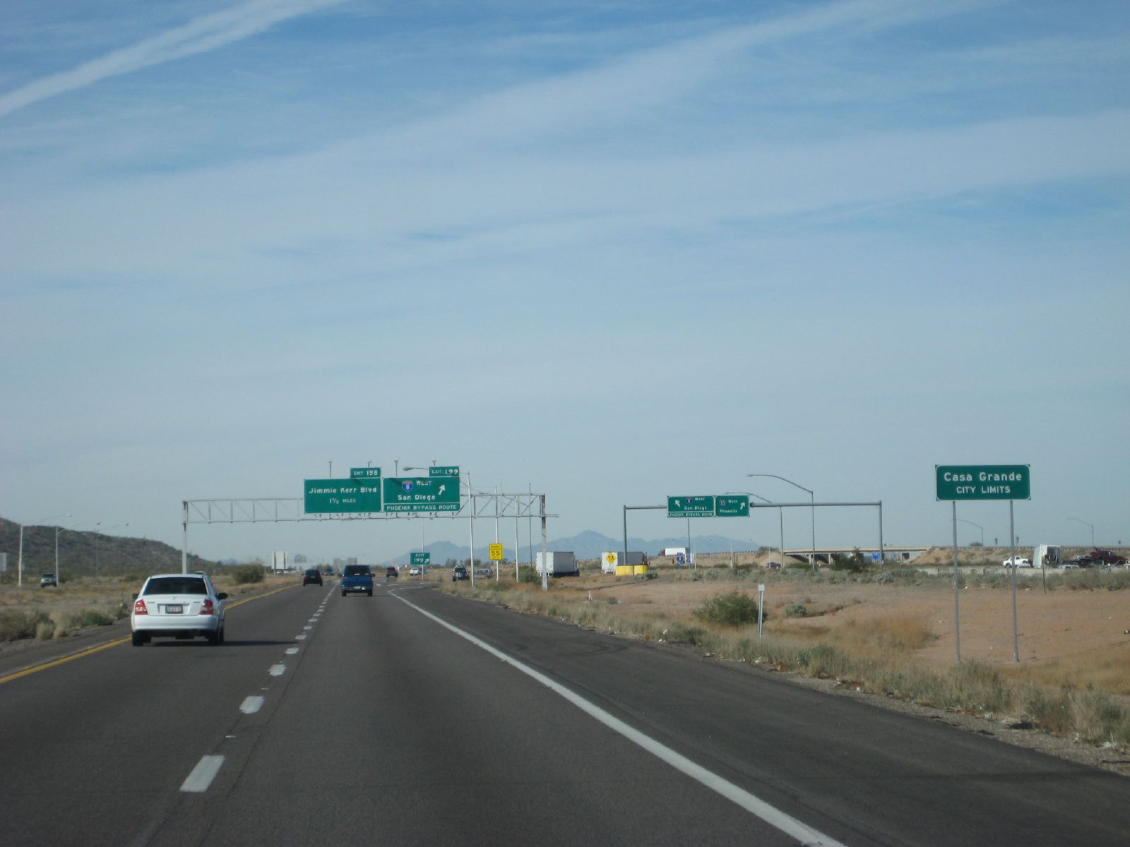
Casa Grande, AZ
summertime in the desert

Big Orange Ball
CES Bound
#Arizona #Landmark #cr_england #truckdriving #myOffice
day15 644
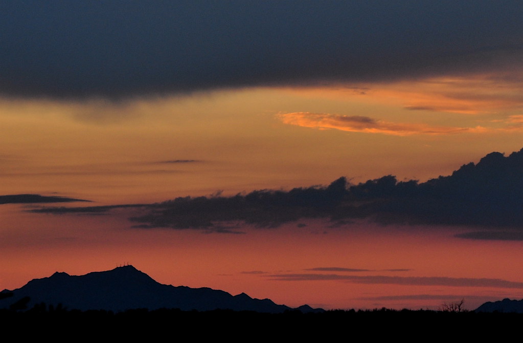
Desert sunset

Twilight Moon

IMG_3745.jpg

#picoftheday #Arizona #sunset #sunsetview #Landmark #awesomeshots #skyview #skyline #landscapes #beautifu #sky #myOffice #MyDay #cr_england #stunning

021012-088, Green on Green
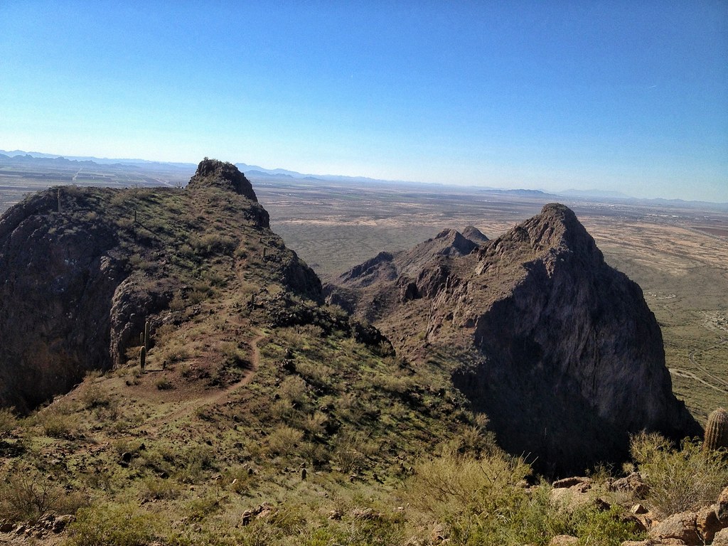
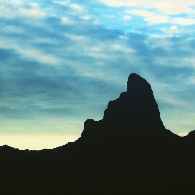
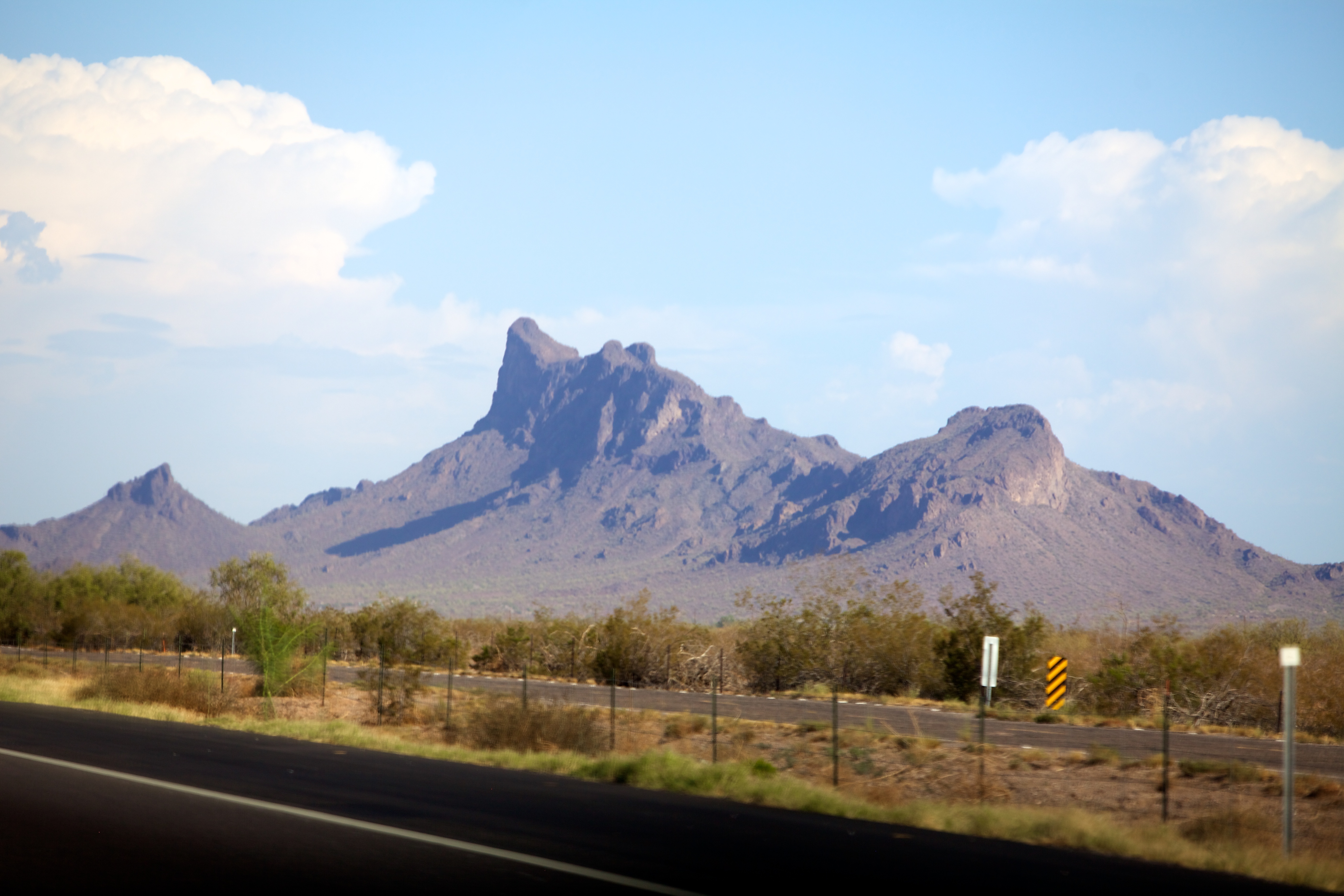
Picacho Peak Summit

Picacho Peak Summit
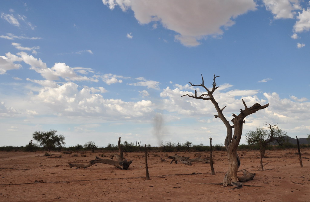
Buzzard Tree & Dust Devil

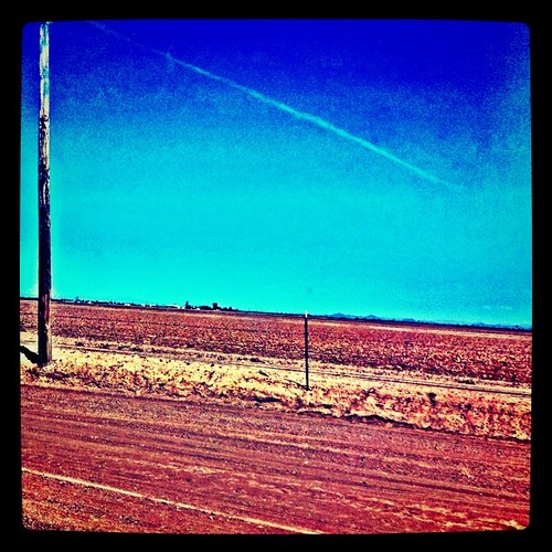
Picture A Day #204 - Sunset over telephone poles in Eloy
Topographic Map of Eloy, AZ, USA
Find elevation by address:

Places in Eloy, AZ, USA:
17065 E Peak Ln
W Shedd Rd, Eloy, AZ, USA
5687 W Robson Blvd
16458 Az-87
3952 Long Dr
Robson Ranch Golf Club
7575 W Battaglia Rd
Places near Eloy, AZ, USA:
16458 Az-87
3952 Long Dr
Picacho
W Shedd Rd, Eloy, AZ, USA
7575 W Battaglia Rd
7575 W Battaglia Dr
12200 S Overfield Rd
8282 W Sandy Ln
5687 W Robson Blvd
Robson Ranch Golf Club
975 W Calle Tuberia
W Santa Cruz Blvd, Queen Creek, AZ, USA
Arizona City
Arizona City, AZ, USA
AZ-, Florence, AZ, USA
Eleven Mile Corner
220 N Agua Fria Ln
76 S Laura Ln, Casa Grande, AZ, USA
2425 E Florence Blvd
S Arizola Rd, Casa Grande, AZ, USA
Recent Searches:
- Elevation of 908, Northwood Drive, Bridge Field, Chesapeake, Virginia, 23322, USA
- Elevation map of Nagano Prefecture, Japan
- Elevation of 587, Bascule Drive, Oakdale, Stanislaus County, California, 95361, USA
- Elevation of Stadion Wankdorf, Sempachstrasse, Breitfeld, Bern, Bern-Mittelland administrative district, Bern, 3014, Switzerland
- Elevation of Z024, 76, Emil-von-Behring-Straße, Marbach, Marburg, Landkreis Marburg-Biedenkopf, Hesse, 35041, Germany
- Elevation of Gaskill Road, Hunts Cross, Liverpool, England, L24 9PH, United Kingdom
- Elevation of Speke, Liverpool, England, L24 9HD, United Kingdom
- Elevation of Seqirus, 475, Green Oaks Parkway, Holly Springs, Wake County, North Carolina, 27540, USA
- Elevation of Pasing, Munich, Bavaria, 81241, Germany
- Elevation of 24, Auburn Bay Crescent SE, Auburn Bay, Calgary, Alberta, T3M 0A6, Canada
- Elevation of Denver, 2314, Arapahoe Street, Five Points, Denver, Colorado, 80205, USA
- Elevation of Community of the Beatitudes, 2924, West 43rd Avenue, Sunnyside, Denver, Colorado, 80211, USA
- Elevation map of Litang County, Sichuan, China
- Elevation map of Madoi County, Qinghai, China
- Elevation of 3314, Ohio State Route 114, Payne, Paulding County, Ohio, 45880, USA
- Elevation of Sarahills Drive, Saratoga, Santa Clara County, California, 95070, USA
- Elevation of Town of Bombay, Franklin County, New York, USA
- Elevation of 9, Convent Lane, Center Moriches, Suffolk County, New York, 11934, USA
- Elevation of Saint Angelas Convent, 9, Convent Lane, Center Moriches, Suffolk County, New York, 11934, USA
- Elevation of 131st Street Southwest, Mukilteo, Snohomish County, Washington, 98275, USA